 Block
BlockBrice, Texas
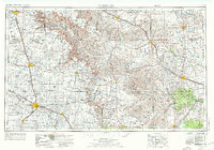
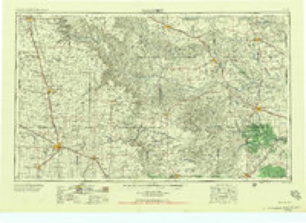
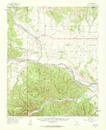
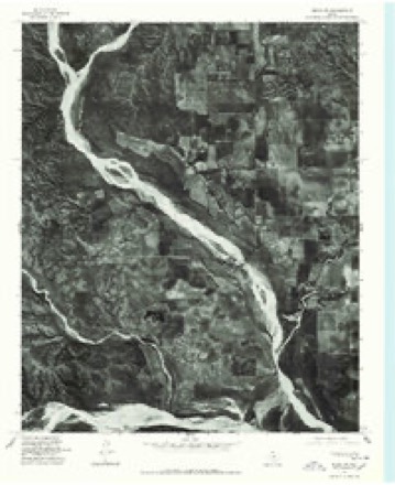
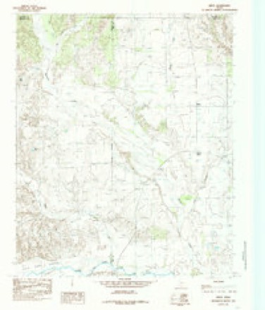
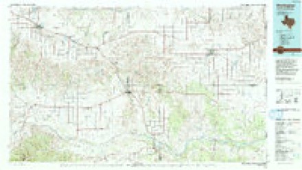
9 topographic sheets cover this place, the earliest surveyed in 1954 and the latest in 1986. It stands in the Lakeview census division. It lies in ZIP code area 79239. The Survey maps it on the Brice quadrangle.
Topographic sheets covering this place
6 surveys from 9 printed sheetsMatched by testing this settlement's coordinate against the published boundary of every sheet in the United States Geological Survey's historical collection. Each opens the scanned sheet at the Survey.
- 1954 USGS Plainview quadrangle1:250000, 3 printings
- 1958 USGS Plainview quadrangle1:250000
- 1960 USGS Brice quadrangle1:62500
- 1976 USGS Brice NW quadrangle1:24000
- 1985 USGS Brice quadrangle1:24000
- 1986 USGS Wellington quadrangle1:100000, 2 printings
Fires near this place
15 since 2006Regional context, not property-specific evidence. The federal wildfire occurrence database lists 15 fires within 5 miles of Brice between 2006 and 2019, burning about 247 acres in total. 2 started naturally. None was recorded as arson. Distance is straight-line from the map coordinates, so a fire counted here may appear on a neighbouring settlement's page as well.
| Reported cause | Fires |
|---|---|
| Missing data/not specified/undetermined | 6 |
| Equipment and vehicle use | 5 |
| Natural | 2 |
| Power generation/transmission/distribution | 1 |
| Debris and open burning | 1 |
The most recent of them, most recent first, with the day each was reported and the service that recorded it.
| Date | Cause | Size | Reported by | Name on the report |
|---|---|---|---|---|
| 8 August 2010 | Missing data/not specified/undetermined | under an acre | Texas A & M Forest Service | BRICE 256 & 70 |
| 6 August 2011 | Natural | 1.0 acres | Texas A & M Forest Service | THORNBERRY |
| 4 June 2013 | Equipment and vehicle use | 3.0 acres | Texas A & M Forest Service | CAR/GRASS FIRE |
| 4 June 2011 | Equipment and vehicle use | under an acre | Texas A & M Forest Service | CORD 6 BRICE |
| 27 May 2006 | Missing data/not specified/undetermined | 200 acres | Texas A & M Forest Service | not named |
| 3 April 2019 | Natural | 25 acres | Texas A & M Forest Service | JA |
| 19 March 2008 | Missing data/not specified/undetermined | 1.0 acres | Texas A & M Forest Service | not named |
| 27 February 2008 | Missing data/not specified/undetermined | 1.0 acres | Texas A & M Forest Service | not named |
Settlements close enough to share some of these fires:
Storms near this place
22 since 1996Regional context, not property-specific evidence. The National Weather Service names Brice in 22 storm reports between 1996 and 2025: 15 hail, 3 thunderstorm wind, 2 tornado, 2 flood. No death or injury is recorded in these reports. Each account below is quoted exactly as the forecast office filed it, from the NOAA Storm Events Database, and each date opens the federal record of that event.
| When | Event | Place named | Harm | What the report says |
|---|---|---|---|---|
| May 2002 | Thunderstorm Wind | Brice | $200,000 | Strong thunderstorm wind gusts, probably associated with the rear flank downdraft of the tornadic supercell, produced major damage to trees, power poles, power lines, center pivot irrigation systems, and the roofs of homes throughout a 10-mile stretch of Highway 256. An NWS storm survey team estimated winds associated with this damage to be in the 80 to 100 mph range. |
| March 2007 | Tornado (EF2) | Brice | $50,000 | The long-lived tornado that impacted eastern Briscoe County moved through rural areas of northwestern Hall County, just west and northwest of Brice. Although the tornado was large and had a history of causing significant damage, no man-made structures were affected in Hall County. The tornado was roping out when it crossed the Hall and Donley County line west of Texas Highway 70 at 17:05 CST. |
| September 2010 | Thunderstorm Wind | Brice | $20,000 | Hall County law enforcement officials reported that thunderstorm winds downed utility poles at Brice. |
| May 2006 | Hail | Brice | $5,000 | no account filed |
| April 2025 | Hail | Brice | - | A storm chaser reported two inch size hail north of Brice along Texas State Highway 70. No damage was reported. |
| June 2025 | Thunderstorm Wind | Brice | - | A research team from NSSL measured a 90mph wind gust with a mobile mesonet along Texas State Highway 256 south of Brice. These winds also overturned an irrigation center pivot. |
| June 2025 | Hail | Brice | - | Several storm chasers reported a swath of hail in and around Brice along Texas State Highway 70 and 256. Hail ranged in size from golf balls to two inches in diameter. Additionally, a Texas Tech University West Texas mesonet site near Lesley sustained damage due to large hail consistent with the storm chaser reports. |
| June 2017 | Hail | Brice | - | No reports of damage accompanied the hail. |
| May 2017 | Hail | Brice | - | The Hall County Sheriff's office reported a swath of hail ranging from quarter size to baseball size to the south and southeast of Brice along State Highway 256. No damage was reported. |
| June 2017 | Hail | Brice | - | A storm chaser reported a swath of hail along State Highway 70 near the Briscoe/Hall County line. |
| October 2017 | Flood | Brice | - | Widespread heavy rainfall occurred across eastern Briscoe, Hall, and western Childress Counties from the evening of the 4th through the early morning hours of the 5th. This torrential rainfall brought large scale flooding to the northern half of Hall County. Several roads in and around Estelline were flooded from the rainfall. Furthermore, minor river flooding occurred along the Prairie Dog Town Fork of the Red River. |
| June 2012 | Flood | Brice | - | Repeated heavy rains resulted in areas of flooding on Highway 287 in Memphis. Farther west, mud flows were observed spreading over Highway 256 just west of Lesley and also near Lakeview in northern Hall County. No evidence of damage to any roads was reported. |
| April 2009 | Hail | Brice | - | An anticyclonic left-moving supercell storm produced golfball size hail at Brice shortly after 16:40 CST. Local officials additionally reported a well-developed funnel cloud associated with this storm. The right-moving member of the preceding storm split produced very large hail in northeastern Briscoe County. |
| May 2006 | Hail | Brice | - | A motorist reported large hail up to the size of golfballs along Texas Highway 70 from just north of Brice to the Hall and Donley County line. |
| May 2002 | Tornado (F0) | Brice | - | An NWS storm survey team identified a narrow tornado track just north of town, in which trees were uprooted and snapped. |
| May 2006 | Hail | Brice | - | no account filed |
| April 2001 | Hail | Brice | - | no account filed |
| June 1999 | Hail | Brice | - | no account filed |
| June 1999 | Hail | Brice | - | no account filed |
| April 1999 | Hail | Brice | - | no account filed |
| May 1999 | Hail | Brice | - | no account filed |
| June 1996 | Hail | Brice | - | no account filed |
Nearest settlements
The eight closest, with where each one stands in the county. Distances are straight-line, computed from the Geographic Names Information System coordinates.
Provenance
This settlement is recorded in the Geographic Names Information System as feature 1352866. The sheet list is computed by point-in-boundary test against the United States Geological Survey's historical topographic inventory. Both are works of the United States government and carry no copyright under 17 U.S.C. 105.
Wildfire. Short, Karen C. 2022. Spatial wildfire occurrence data for the United States, 1992-2020 [FPA_FOD_20221014]. 6th Edition. Fort Collins, CO: Forest Service Research Data Archive. https://doi.org/10.2737/RDS-2013-0009.6 Collected with United States Government funding and usable without additional permissions or fees.
Storms. NOAA National Centers for Environmental Information, Storm Events Database https://www.ncei.noaa.gov/stormevents/ A work of the United States government, no copyright under 17 U.S.C. 105. Narratives are quoted verbatim from the National Weather Service report and are not edited or summarised.