 Block
BlockLesley, Texas
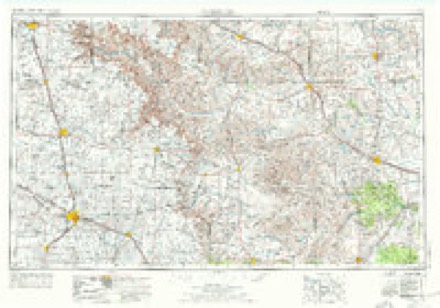
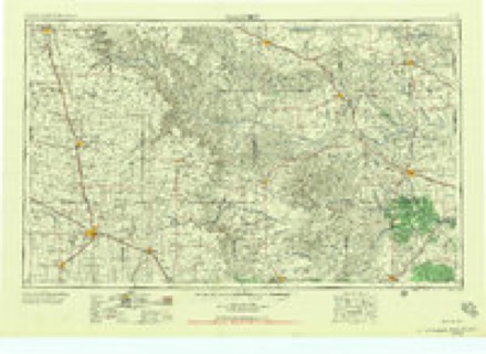
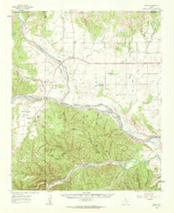
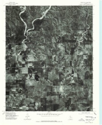
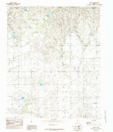
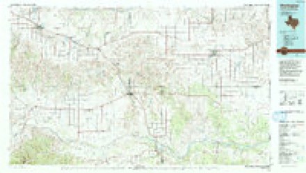
9 topographic sheets cover this place, the earliest surveyed in 1954 and the latest in 1986. It stands in the Lakeview census division. It lies in ZIP code area 79239. The Survey maps it on the Lesley quadrangle.
Topographic sheets covering this place
6 surveys from 9 printed sheetsMatched by testing this settlement's coordinate against the published boundary of every sheet in the United States Geological Survey's historical collection. Each opens the scanned sheet at the Survey.
- 1954 USGS Plainview quadrangle1:250000, 3 printings
- 1958 USGS Plainview quadrangle1:250000
- 1960 USGS Brice quadrangle1:62500
- 1976 USGS Brice NE quadrangle1:24000
- 1985 USGS Lesley quadrangle1:24000
- 1986 USGS Wellington quadrangle1:100000, 2 printings
Fires near this place
13 since 2006Regional context, not property-specific evidence. The federal wildfire occurrence database lists 13 fires within 5 miles of Lesley between 2006 and 2020, burning about 410 acres in total. 1 started naturally. None was recorded as arson. Distance is straight-line from the map coordinates, so a fire counted here may appear on a neighbouring settlement's page as well.
| Reported cause | Fires |
|---|---|
| Equipment and vehicle use | 5 |
| Missing data/not specified/undetermined | 4 |
| Power generation/transmission/distribution | 3 |
| Natural | 1 |
The most recent of them, most recent first, with the day each was reported and the service that recorded it.
| Date | Cause | Size | Reported by | Name on the report |
|---|---|---|---|---|
| 8 August 2011 | Natural | 5.0 acres | Texas A & M Forest Service | LAKEVIEW |
| 8 August 2010 | Missing data/not specified/undetermined | under an acre | Texas A & M Forest Service | BRICE 256 & 70 |
| 7 July 2016 | Power generation/transmission/distribution | 20 acres | Texas A & M Forest Service | GRASS FIRE |
| 4 June 2011 | Equipment and vehicle use | under an acre | Texas A & M Forest Service | CORD 6 BRICE |
| 27 May 2006 | Missing data/not specified/undetermined | 200 acres | Texas A & M Forest Service | not named |
| 4 April 2020 | Equipment and vehicle use | 75 acres | Texas A & M Forest Service | GARY DURSER |
| 29 April 2011 | Power generation/transmission/distribution | under an acre | Texas A & M Forest Service | BYARS FIRE |
| 5 March 2008 | Equipment and vehicle use | 93 acres | Texas A & M Forest Service | LESLEY FIRE |
Settlements close enough to share some of these fires:
Storms near this place
24 since 2002Regional context, not property-specific evidence. The National Weather Service names Lesley in 24 storm reports between 2002 and 2025: 19 thunderstorm wind, 2 tornado, 2 flash flood, 1 flood. No death or injury is recorded in these reports. Each account below is quoted exactly as the forecast office filed it, from the NOAA Storm Events Database, and each date opens the federal record of that event.
| When | Event | Place named | Harm | What the report says |
|---|---|---|---|---|
| May 2016 | Flash Flood | Lesley | $5,000,000 | The same storm responsible for producing a large, EF-2 tornado near Plaska also produced significant flash flooding over much of northern Hall County late this afternoon. Additional rounds of thunderstorms through the evening would go on to produce eight inches of rain as measured by a NWS CO-OP observer in Estelline. The storm survey discovered significant flood damage to bridges, roads and a golf course in Estelline which had large chasms cut into the property. Also, one SUV was swept off US Highway 256 about five miles northeast of Estelline after driving through raging floodwaters that consumed a shallow bridge. The two occupants of the vehicle were rescued and unharmed, but their vehicle was a complete loss from water damage. The total flood damage to infrastructure alone would likely reach several million USD. |
| April 2010 | Flood | Lesley | $25,000 | Heavy rainfall centered over western Hall County resulted in significant flooding along the Prairie Dog Town Fork of the Red River. The high water flooded low lying farmland, ranch land, and several roadways. No significant damage was reported. |
| May 2002 | Tornado (F1) | Lesley | $2,000 | A storm chaser reported a tornado north of town. The tornado snapped and uprooted trees, blew down power lines, and snapped power poles. |
| August 2025 | Thunderstorm Wind | Lesley | - | A Texas Tech University West Texas mesonet site near Lesley measured severe wind gusts from 2100 CST through 2112 CST. A peak gust of 72 mph was measured at 2112 CST. |
| June 2025 | Thunderstorm Wind | Lesley | - | A Texas Tech University West Texas mesonet site near Lesley measured severe wind gusts from 1621 CST through 1622 CST. A peak wind gust of 68 mph was measured at 1621 CST. |
| May 2024 | Flash Flood | Lesley | - | An NWS storm survey and law enforcement and public reports showed extensive flooding in rural Hall County generally along Farm to Market Road 657 between Turkey and Lakeview. Water was flowing over the roadway near the Little Red River and the Prairie Dog Town Fork Red River. Additionally, water was overflowing out of its banks along the Little Red River near Farm to Market Road 657. The rapidly flowing water knocked down vegetation, scoured the edges of the river bank, and washed out a power pole. Mud flows impacted areas north of Turkey along State Highway 70. |
| May 2024 | Thunderstorm Wind | Lesley | - | A Texas Tech University West Texas mesonet site near Lesley measured a wind gust of 59 mph. |
| February 2023 | Thunderstorm Wind | Lesley | - | A swath of severe wind gusts were measured from near Lesley to Memphis. Texas Tech University West Texas mesonet sites near Lesley and Memphis measured severe wind gusts from 1822 CST through 1837 CST. A peak wind gust of 70 was measured near Lesley at 1822 CST. A peak wind gust of 114 mph was measured near Memphis. |
| August 2023 | Thunderstorm Wind | Lesley | - | A swath of severe thunderstorm winds were measured from two miles south of Lesley through one mile northeast of Memphis. The Texas Tech University West Texas mesonet sites near Lesley and Memphis measured severe wind gusts from 2119 CST through 2151 CST. A peak wind gust of 66 mph was measured at the Lesley mesonet while the Memphis mesonet measured a peak gust of 68 mph. |
| June 2022 | Thunderstorm Wind | Lesley | - | A Texas Tech University West Texas mesonet site near Lesley measured severe wind gusts from 2143 CST through 2146 CST. A peak wind gust of 64 mph was measured at 2145 and 2146 CST. |
| June 2022 | Thunderstorm Wind | Lesley | - | A Texas Tech University West Texas mesonet site near Lesley measured a wind gust of 63 mph. |
| May 2021 | Thunderstorm Wind | Lesley | - | A Texas Tech University West Texas mesonet site near Lesley measured severe wind gusts from 2007 CST through 2028 CST. A maximum wind gust of 73 mph was reported at 2028 CST. |
| August 2021 | Thunderstorm Wind | Lesley | - | A Texas Tech University West Texas mesonet site near Lesley measured severe wind gusts from 1542 CST through 1545 CST. A peak wind gust of 63 mph was measured between 1544 CST and 1545 CST. |
| August 2020 | Thunderstorm Wind | Lesley | - | A Texas Tech University West Texas mesonet site near Lesley measured a peak wind gust of 65 mph at 2115 CST. Severe winds were measured from 2115 through 2119 CST. |
| August 2020 | Thunderstorm Wind | Lesley | - | A Texas Tech University West Texas mesonet site near Lesley measured a peak wind gust to 67 mph at 1522 CST. Intermittent severe wind gusts were measured from 1514 through 1533 CST. |
| August 2020 | Thunderstorm Wind | Lesley | - | A Texas Tech University West Texas mesonet site near Lesley measured a peak wind gust of 65 mph. |
| September 2020 | Thunderstorm Wind | Lesley | - | A Texas Tech University West Texas mesonet site near Lesley measured a wind gust to 62 mph. |
| September 2020 | Tornado (EFU) | Lesley | - | Local broadcast media relayed a video of a very brief tornado in Hall County west of Farm to Market Road 657 north of Texas State Highway 86. The tornado briefly remained over open land that was inaccessible due to a lack of roads. |
| March 2019 | Thunderstorm Wind | Lesley | - | Gusts of 60 to 66 mph for four minutes. Measured by a Texas Tech University West Texas mesonet. |
| June 2019 | Thunderstorm Wind | Lesley | - | A Texas Tech University West Texas mesonet site near Lesley measured a wind gust to 65 mph. |
| August 2019 | Thunderstorm Wind | Lesley | - | A Texas Tech University West Texas mesonet site measured a peak wind gust of 76 mph near Lesley. Severe wind gusts lasted for two minutes from 1702 CST to 1703 CST. |
| June 2018 | Thunderstorm Wind | Lesley | - | A Texas Tech University West Texas mesonet site near Lesley measured a wind gust to 84 mph. |
| July 2018 | Thunderstorm Wind | Lesley | - | A Texas Tech University West Texas mesonet site near Lesley measured a peak wind gust to 73 mph. Intermittent severe wind gusts occurred from 0133 CST through 0146 CST. |
| May 2018 | Thunderstorm Wind | Lesley | - | A Texas Tech University West Texas mesonet site near Lesley measured a wind gust to 59 mph. |
Nearest settlements
The eight closest, with where each one stands in the county. Distances are straight-line, computed from the Geographic Names Information System coordinates.
Elsewhere
Matched on this settlement's Geographic Names Information System number rather than its name, so it cannot be a different place of the same name in another state.
| Wikidata item Q122566405 | The structured record the population and elevation above come from. Public domain (CC0). |
Provenance
This settlement is recorded in the Geographic Names Information System as feature 1361107. The sheet list is computed by point-in-boundary test against the United States Geological Survey's historical topographic inventory. Both are works of the United States government and carry no copyright under 17 U.S.C. 105.
Wildfire. Short, Karen C. 2022. Spatial wildfire occurrence data for the United States, 1992-2020 [FPA_FOD_20221014]. 6th Edition. Fort Collins, CO: Forest Service Research Data Archive. https://doi.org/10.2737/RDS-2013-0009.6 Collected with United States Government funding and usable without additional permissions or fees.
Storms. NOAA National Centers for Environmental Information, Storm Events Database https://www.ncei.noaa.gov/stormevents/ A work of the United States government, no copyright under 17 U.S.C. 105. Narratives are quoted verbatim from the National Weather Service report and are not edited or summarised.