 Block
BlockLongfellow, Texas
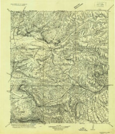
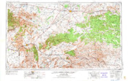
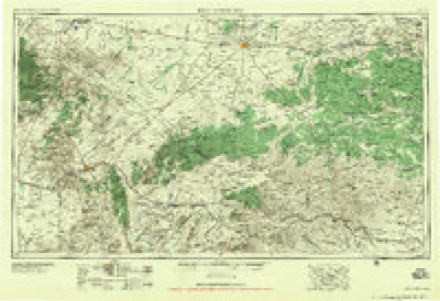
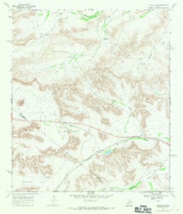
9 topographic sheets cover this place, the earliest surveyed in 1920 and the latest in 1985. It stands in the Fort Stockton census division. It lies near Yolts Draw. The Survey maps it on the Longfellow quadrangle.
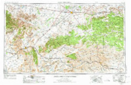
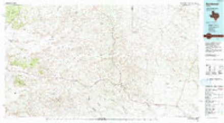
Topographic sheets covering this place
6 surveys from 9 printed sheetsMatched by testing this settlement's coordinate against the published boundary of every sheet in the United States Geological Survey's historical collection. Each opens the scanned sheet at the Survey.
- 1920 USGS Longfellow quadrangle1:125000
- 1954 USGS Fort Stockton quadrangle1:250000, 3 printings
- 1958 USGS Fort Stockton quadrangle1:250000
- 1968 USGS Longfellow quadrangle1:24000
- 1973 USGS Fort Stockton quadrangle1:250000
- 1985 USGS Sanderson quadrangle1:100000, 2 printings
Fires near this place
5 since 2006Regional context, not property-specific evidence. The federal wildfire occurrence database lists 5 fires within 5 miles of Longfellow between 2006 and 2020, burning about 6,986 acres in total. 5 started naturally. None was recorded as arson. Distance is straight-line from the map coordinates, so a fire counted here may appear on a neighbouring settlement's page as well.
| Reported cause | Fires |
|---|---|
| Natural | 5 |
The most recent of them, most recent first, with the day each was reported and the service that recorded it.
| Date | Cause | Size | Reported by | Name on the report |
|---|---|---|---|---|
| 22 September 2011 | Natural | under an acre | Texas A & M Forest Service | NINE MILE 2 FIRE |
| 19 August 2020 | Natural | 277 acres | Texas A & M Forest Service | FRESNO |
| 1 August 2006 | Natural | 3,167 acres | Texas A & M Forest Service | PEACOCK COMPLEX |
| 7 June 2018 | Natural | 42 acres | Texas A & M Forest Service | LONG FELLOW 90 |
| 19 June 2011 | Natural | 3,500 acres | Texas A & M Forest Service | LONGFELLOW FIRE |
Storms near this place
26 since 2004Regional context, not property-specific evidence. The National Weather Service names Longfellow in 26 storm reports between 2004 and 2025: 21 hail, 4 tornado, 1 thunderstorm wind. No death or injury is recorded in these reports. Each account below is quoted exactly as the forecast office filed it, from the NOAA Storm Events Database, and each date opens the federal record of that event.
| When | Event | Place named | Harm | What the report says |
|---|---|---|---|---|
| June 2005 | Thunderstorm Wind | Longfellow | $5,000 | The roof of a trailer house was blown off by damaging thunderstorm winds at a ranch near Longfellow. |
| April 2025 | Hail | Longfellow | - | A report was received from mPING of quarter size hail. Time is estimated from radar. |
| April 2025 | Hail | Longfellow | - | A storm chaser reported golf ball size hail along US Highway 285. Time is estimated from radar. |
| April 2025 | Hail | Longfellow | - | A storm chaser reported roughly golf ball size hail along Highway 285. Time is estimated from radar. |
| April 2025 | Hail | Longfellow | - | A storm chaser reported walnut sized hail along Highway 285. Time is estimated from radar. |
| April 2025 | Hail | Longfellow | - | An NWS employee reported baseball size hail along Highway 285. The time is estimated from radar. |
| May 2024 | Tornado (EFU) | Longfellow | - | A separate photo and video were shared on social media showing an ongoing tornado north of Sanderson in rural Pecos or Terrell County. Using Google Streetview the perspectives from this photo and video were located. Based on this information and radar data, an approximate tornado track was determined to be near a ridgeline to the west of US Highway 285 near its intersection with Ranch to Market Road 2400. This tornado occurred over open and rural terrain in far southern Pecos County and could not be surveyed; therefore, this tornado is rated EF-Unknown. |
| May 2024 | Tornado (EFU) | Longfellow | - | An observer shared a video of a tornado briefly visible through heavy rain just west of US Highway 285. Observers lost a visual of the tornado a short time afterward. A strong couplet was noted on radar for several minutes after this video as the tornado likely slowly moved southeast, dissipating just west of the highway. A survey could not be conducted as the area west of US Highway 285 is inaccessible and no indicators showed the tornado crossing the highway. The track of this tornado is an estimation based on observer reports and radar data. No damage was reported. |
| May 2024 | Hail | Longfellow | - | The report was from mPING. |
| June 2023 | Hail | Longfellow | - | Hail was observed along US 285. |
| October 2023 | Hail | Longfellow | - | COOP observer reports golf ball size hail. Time is estimated from radar. |
| May 2014 | Tornado (EF0) | Longfellow | - | A storm moved through Pecos County and produced a tornado about 20 miles northwest of Longfellow. This tornado did not produce any significant damage, so it was rated an EF-0. The path and the path width were both estimated due to the lack of damage. This tornado was caught on video and reported to the local media. The cost of damage is unknown. |
| April 2011 | Tornado (EF0) | Longfellow | - | This event location was estimated based on public reports, photos, and radar data. CBS 7 has photos of this tornado available on their Facebook page. No damage was reported with this tornado. It is unclear whether or not this tornado continued its path into Terrell County, where another tornado was reported (with damage) a little over an hour later. |
| May 2005 | Hail | Longfellow | - | A spotter from rural Pecos County reported that trees were stripped of their leaves by large hail along Longfellow Road in southern Pecos County. |
| June 2005 | Hail | Longfellow | - | Law enforcement officials reported nickel size hail on U.S. Highway 90 along the Pecos and Terrell County line. |
| June 2004 | Hail | Longfellow | - | A storm spotter reported nickel to quarter size hail on the Terrell and Pecos County line along U.S. Highway 90. |
| May 2024 | Hail | Longfellow | - | no account filed |
| June 2023 | Hail | Longfellow | - | no account filed |
| June 2023 | Hail | Longfellow | - | no account filed |
| May 2021 | Hail | Longfellow | - | no account filed |
| May 2021 | Hail | Longfellow | - | no account filed |
| May 2021 | Hail | Longfellow | - | no account filed |
| April 2016 | Hail | Longfellow | - | no account filed |
| April 2016 | Hail | Longfellow | - | no account filed |
| May 2009 | Hail | Longfellow | - | no account filed |
| May 2009 | Hail | Longfellow | - | no account filed |
Nearest settlements
The eight closest, with where each one stands in the county. Distances are straight-line, computed from the Geographic Names Information System coordinates.
| Map | Place | Distance | Sheets |
|---|---|---|---|
| Chancellor | 46.3 miles | 9 | |
| Belding | 48.0 miles | 9 | |
| Alamo Ranchettes Colonia | 50.0 miles | 11 | |
| Smith Place | 50.9 miles | 9 | |
| Fort Stockton | 52.1 miles | 11 | |
| Bodieville Colonia | 53.0 miles | 11 | |
| Bakersfield | 53.5 miles | 9 | |
| Little Mexico Colonia | 53.7 miles | 11 |
Provenance
This settlement is recorded in the Geographic Names Information System as feature 1378607. The sheet list is computed by point-in-boundary test against the United States Geological Survey's historical topographic inventory. Both are works of the United States government and carry no copyright under 17 U.S.C. 105.
Wildfire. Short, Karen C. 2022. Spatial wildfire occurrence data for the United States, 1992-2020 [FPA_FOD_20221014]. 6th Edition. Fort Collins, CO: Forest Service Research Data Archive. https://doi.org/10.2737/RDS-2013-0009.6 Collected with United States Government funding and usable without additional permissions or fees.
Storms. NOAA National Centers for Environmental Information, Storm Events Database https://www.ncei.noaa.gov/stormevents/ A work of the United States government, no copyright under 17 U.S.C. 105. Narratives are quoted verbatim from the National Weather Service report and are not edited or summarised.