 Block
Angelo, Wisconsin
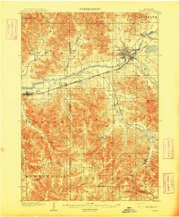
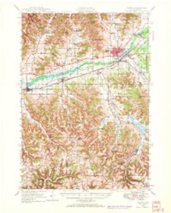
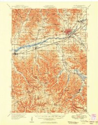
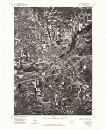
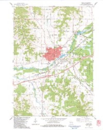
14 topographic sheets cover this place, the earliest surveyed in 1909 and the latest in 1985. It stands in Angelo town. It lies in ZIP code area 54656. It stands on Silver Creek. The Survey maps it on the Sparta quadrangle.
Topographic sheets covering this place
10 surveys from 14 printed sheetsMatched by testing this settlement's coordinate against the published boundary of every sheet in the United States Geological Survey's historical collection. Each opens the scanned sheet at the Survey.
- 1909 USGS Sparta quadrangle1:62500, 3 printings
- 1947 USGS Sparta quadrangle1:62500
- 1949 USGS Sparta quadrangle1:62500
- 1958 USGS La Crosse quadrangle1:250000, 2 printings
- 1961 USGS La Crosse quadrangle1:250000
- 1965 USGS La Crosse quadrangle1:250000
- 1976 USGS La Crosse quadrangle1:250000
- 1976 USGS Sparta NE quadrangle1:24000
- 1983 USGS Sparta quadrangle1:24000
- 1985 USGS Sparta quadrangle1:100000, 2 printings




In the county-history sources
658 words on this townshipHistory of Monroe County, Wisconsin, Past and Present : Including an Account of the Cities, Towns and Villages of the County [microform], published 1912 names this settlement in its chapter on Angelo Town. These are the passages that mention it, exactly as the scans read.
Sparta and weut iuto the livery business and was elected sheriff of the county, serving one term. Dr. Angle, however, did not stay a great while in the sawndll business, but sold out to Edward Canfield, brother of Lee Canfield, Sr. Edward Canfield had one of those dreams which came to many enterprising settlers in the days of the early settlement, a dream which pictured a city on the site occupied by his mill and the two or three stores and dwellings of the then inhabitants of the village, and so he had a plat made of the land, streets and alleys regularly set out and dedicated, had the plat duly made by the county surveyor. Seeking to give it a name equal in fame with "Sparta," he called it "Athens," so those two famous cities of Greece find their namesakes in America, but history was not kind. Sparta became a city, but Athens still remained a country village, and its shadow gradually grew less from a business point of view, as in 1856 there were more stores there than there are now. It is a mistake made frecpiently and very commonly in alluding to Athens as "Angelo," but that is not correct, as the settlement retains upon the records to this day its original name and all conveyances of property in the so-called village are made under its name of Athens. Originally the village v\'as laid out in generous proportions. It had its public square, now occupied by a church; and its "State street," and to its credit be it said that at the time the county was organized this little group of settlers put up a very good fight to have the county seat located there. The plat of Athens was recorded in the offices of the register of deeds, May 13, 1856, made by C. C. Miller, the then county surveyor. Early settlers were numerous. Among them may be mentioned L. M. Huntley, who arrived in 1854, as did George Shepherd and John "W. Smith. In 1859 Rev. Robert Williams, a Welsh minister, settled in the town and established a Welsh church. His son, W. G. Williams, now prominent in banking circles, farmed it with his father as well as attended to his ministerial duties. The old Angelo water power is now the property of the 0. I. Newton's Sons Company and is used for furnishing power for the electric light and power plant, in connection with the power in the city of Sparta. Within the town are many valuable small fruit farms, many in a high state of cultivation, and this industry is a large source of revenue to its inhabitants. The present officers of the town are: J. W. Leverich, chairman; George Kronberg and Jenk AVilliams, supervisors; Wilber S. Fish, clerk; Fred Hutson, treasurer; Fred Heilman, assessor; E. T. Hanchett, justice. Population census of 1910, 666.
Passage source: History of Monroe County, Wisconsin, Past and Present : Including an Account of the Cities, Towns and Villages of the County [microform], published 1912.
Machine-read from a century-old scan, so expect the errors a machine makes: misspelled names, dropped words, stray characters.
Read the whole chapter on Angelo Town - it names this place 1 more 1 time.
Fires near this place
97 since 1992Regional context, not property-specific evidence. The federal wildfire occurrence database lists 97 fires within 5 miles of Angelo between 1992 and 2020, burning about 192 acres in total. 1 started naturally. 1 was recorded as arson. Distance is straight-line from the map coordinates, so a fire counted here may appear on a neighbouring settlement's page as well.
| Reported cause | Fires |
|---|---|
| Equipment and vehicle use | 29 |
| Debris and open burning | 20 |
| Railroad operations and maintenance | 20 |
| Missing data/not specified/undetermined | 16 |
| Power generation/transmission/distribution | 3 |
| Misuse of fire by a minor | 3 |
| Other causes | 2 |
| Natural | 1 |
| Smoking | 1 |
| Fireworks | 1 |
| Arson/incendiarism | 1 |
The most recent of them, most recent first, with the day each was reported and the service that recorded it.
| Date | Cause | Size | Reported by | Name on the report |
|---|---|---|---|---|
| 29 September 1997 | Power generation/transmission/distribution | under an acre | Wisconsin Department of Natural Resources | not named |
| 12 September 2013 | Smoking | under an acre | Wisconsin Department of Natural Resources | ZIGGY FIRE |
| 17 August 2003 | Debris and open burning | under an acre | Wisconsin Department of Natural Resources | not named |
| 6 July 2006 | Equipment and vehicle use | under an acre | Wisconsin Department of Natural Resources | not named |
| 23 July 2001 | Missing data/not specified/undetermined | under an acre | Wisconsin Department of Natural Resources | not named |
| 2 July 2012 | Equipment and vehicle use | under an acre | Wisconsin Department of Natural Resources | FERRIES FIRE |
| 12 July 2013 | Equipment and vehicle use | under an acre | Wisconsin Department of Natural Resources | HAZELWOOD FIRE |
| 10 July 2020 | Equipment and vehicle use | under an acre | Wisconsin Department of Natural Resources | MEDIAN 1 |
Settlements close enough to share some of these fires:
Mines and quarries near this place
1 within 5 milesRegional context, not property-specific evidence. The federal mineral resources record lists 1 working within 5 miles of Angelo: 1 past producer. None of them still produces. What was taken out: Stone, Crushed/Broken. Distance is straight-line from the map coordinates, so a quarry counted here may appear on a neighbouring settlement's page as well.
| Where | Site | Commodity | Status | Recorded |
|---|---|---|---|---|
| Enders Quarry | Stone, Crushed/Broken | Past Producer |
Storms near this place
12 since 2001Regional context, not property-specific evidence. The National Weather Service names Angelo in 12 storm reports between 2001 and 2022: 7 hail, 2 thunderstorm wind, 1 tornado, 1 flash flood. The reports record 1 injury. Each account below is quoted exactly as the forecast office filed it, from the NOAA Storm Events Database, and each date opens the federal record of that event.
| When | Event | Place named | Harm | What the report says |
|---|---|---|---|---|
| September 2001 | Tornado (F0) | Angelo | 1 hurt, $20,000 | no account filed |
| June 2007 | Hail | Angelo | $25,000 | no account filed |
| August 2013 | Thunderstorm Wind | Angelo | $20,000 | The roof was lifted off and windows blown out of county office buildings just north of Sparta. Crops were also flattened in the same area and numerous trees and power lines were blown down on the north side of Sparta. |
| June 2022 | Lightning | Angelo | $10,000 | A small shed was started on fire by a lightning strike near Sparta. |
| September 2010 | Flash Flood | Angelo | $10,000 | A mudslide occurred near the intersection of County Road B and Echo Road. |
| August 2020 | Hail | Angelo | $5,000 | Quarter sized hail was reported north of Sparta that damaged some vehicles. |
| June 2019 | Thunderstorm Wind | Angelo | $3,000 | Several trees were blown down just northeast of Sparta. |
| July 2017 | Hail | Angelo | - | no account filed |
| July 2015 | Hail | Angelo | - | no account filed |
| June 2011 | Hail | Angelo | - | no account filed |
| March 2007 | Hail | Angelo | - | no account filed |
| March 2007 | Hail | Angelo | - | no account filed |
Nearest settlements
The eight closest, with where each one stands in the county. Distances are straight-line, computed from the Geographic Names Information System coordinates.
| Map | Place | Distance | Sheets |
|---|---|---|---|
| Sparta | 2.6 miles | 14 | |
| Farmers Valley | 5.2 miles | 12 | |
| Scotts Junction (historical) | 5.8 miles | 12 | |
| Leon | 7.0 miles | 14 | |
| Spring Bank Park | 8.7 miles | 14 | |
| Cataract | 8.8 miles | 11 | |
| Four Corners | 10.2 miles | 11 | |
| Melvina | 11.4 miles | 13 |
Provenance
This settlement is recorded in the Geographic Names Information System as feature 1560868. The sheet list is computed by point-in-boundary test against the United States Geological Survey's historical topographic inventory. Both are works of the United States government and carry no copyright under 17 U.S.C. 105.
Wildfire. Short, Karen C. 2022. Spatial wildfire occurrence data for the United States, 1992-2020 [FPA_FOD_20221014]. 6th Edition. Fort Collins, CO: Forest Service Research Data Archive. https://doi.org/10.2737/RDS-2013-0009.6 Collected with United States Government funding and usable without additional permissions or fees.
Mines and quarries. USGS Mineral Resources Data System (MRDS) https://mrdata.usgs.gov/mrds/ A work of the United States government, no copyright under 17 U.S.C. 105.
Storms. NOAA National Centers for Environmental Information, Storm Events Database https://www.ncei.noaa.gov/stormevents/ A work of the United States government, no copyright under 17 U.S.C. 105. Narratives are quoted verbatim from the National Weather Service report and are not edited or summarised.