 Block
Cataract, Wisconsin
11 topographic sheets cover this place, the earliest surveyed in 1928 and the latest in 1985. It stands in Little Falls town. It lies in ZIP code area 54656. It stands on Rathbone Creek. The Survey maps it on the Cataract quadrangle. 220 people lived here at the 2020 count. It stands 850 feet above sea level.
Population over time
2 figuresCataract grew from 186 to 220 between 2010 and 2020. These are the recorded population figures Wikidata holds for this place, reached through the Geographic Names Information System number this page is keyed on rather than by name, so they belong to this place and not to another of the same name. Most are census counts, but not all are: an early figure may be a founding or settlement estimate, and an estimate published within five years of a census is left out. The change column is computed, and is left blank where more than 20 years separate a figure from the one before it, because a gap that long is not a change between two counts.
| Year | People | Change |
|---|---|---|
| 2010 | 186 | |
| 2020 | 220 | +34 (+18%) |
Topographic sheets covering this place
7 surveys from 11 printed sheetsMatched by testing this settlement's coordinate against the published boundary of every sheet in the United States Geological Survey's historical collection. Each opens the scanned sheet at the Survey.
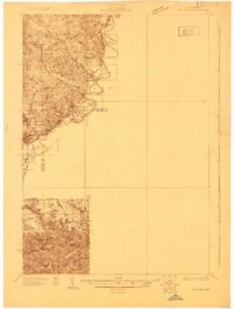
- 1928 USGS Melrose quadrangle1:48000
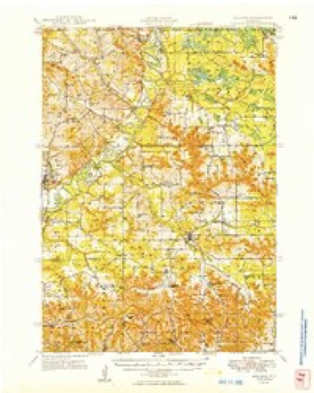
- 1949 USGS Melrose quadrangle1:62500
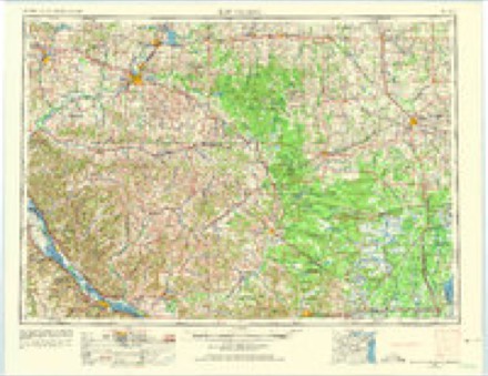
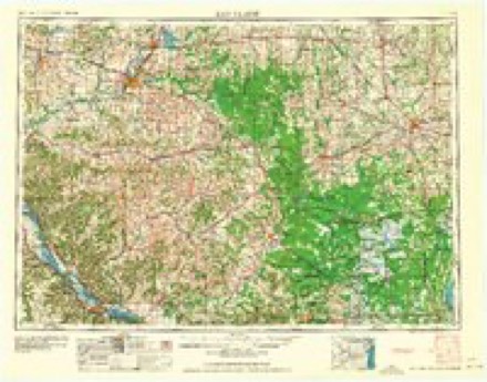
- 1953 USGS Eau Claire quadrangle1:250000, 4 printings
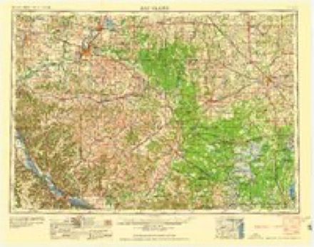
- 1958 USGS Eau Claire quadrangle1:250000
- 1964 USGS Eau Claire quadrangle1:250000
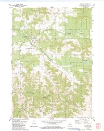
- 1983 USGS Cataract quadrangle1:24000
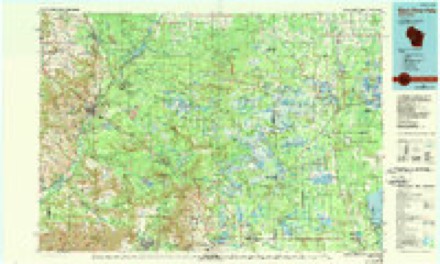
- 1985 USGS Black River Falls quadrangle1:100000, 2 printings
In the county-history sources
1,217 words on this townshipHistory of Monroe County, Wisconsin, Past and Present : Including an Account of the Cities, Towns and Villages of the County [microform], published 1912 names this settlement in its chapter on Little Falls Town. These are the passages that mention it, exactly as the scans read.
There is no record of the organization of the town of Little Falls in the proceedings of the county board of this county. It seems that at the time of the organization of this county the territory comprised in the towai of Little Falls and wdiat was then known as the town of Eaton on the east of it was supposed to be in Jackson county, and these two towns were originally orgaiiizi'il iiiid their tirsl nicetiiigs held as a part of that county, l)ut subsequently the mistake was discovered and the chairman of the town board of Little Falls appeared at the annual session of the county board of iMonroe county in November, 1856, claiming a seat as a member of that body. Objection Avas raised to this, but the reason for it does not appear upon the record. After some discussion and consideration of tlic; matter the board tinally voted to give the supervisor from the town of Little Falls a seat with all the rights of a member, and AV. \V. Benton wa.s duly sworn in as the first member of the county board from the town of Little Falls on Xovemlx-r 11, 1856. Settlers canie into the town early and ])egan developing its farm and timber lands and water i)owers. Perhaps the oldest settlor in point of time was AVilliam Printz. who came in 1852, being some two years before the county itself Avas organized, and the {)oint near Cataract Avas, in fact, one of the first localities in Avhich settlers ])egan to take up land. He Avas folloAved by Thomas Richards in 1854, and the other pioneers in order in Avhieh they came Averc George Walters, 1855: ^Ir. Ilovey, 1855, Avho kept a store; Bert :MatheAvs, 1856; :\[. P. Matteson, 1856; C. AV. Johnson. 1857; John ir. Brackett, 1864.
Passage source: History of Monroe County, Wisconsin, Past and Present : Including an Account of the Cities, Towns and Villages of the County [microform], published 1912.
Most of the town is now well developed and the village of Cataract has become quite a little settlement, situated as it is near a good Avater power and is a convenient trading point for the farmers living in the vicinity. The town has furnished from its citizens several men who have acquired prominence in the county affairs, among Avhom may be named the Seantletons, father and son ; a\Iyron Brackett, who for a number of years was a member of the county board and later served as supervisor of assessment until the office was abolished ; A. J. Carnahan, who now resides at Sparta, but who was elected as sheriff while a resident of the town ; Hugh Gallagher, who was chairman during the railroad agitation, when the now defunct Sparta-Melrose railroad was cutting a good deal of figure, and many others who have helped manage the affairs of their town and county.
Passage source: History of Monroe County, Wisconsin, Past and Present : Including an Account of the Cities, Towns and Villages of the County [microform], published 1912.
Machine-read from a century-old scan, so expect the errors a machine makes: misspelled names, dropped words, stray characters.
Read the whole chapter on Little Falls Town - it names this place 2 more 2 times.
Fires near this place
97 since 1992Regional context, not property-specific evidence. The federal wildfire occurrence database lists 97 fires within 5 miles of Cataract between 1992 and 2020, burning about 273 acres in total. 5 started naturally. 3 were recorded as arson. Distance is straight-line from the map coordinates, so a fire counted here may appear on a neighbouring settlement's page as well.
| Reported cause | Fires |
|---|---|
| Debris and open burning | 37 |
| Equipment and vehicle use | 21 |
| Missing data/not specified/undetermined | 13 |
| Recreation and ceremony | 8 |
| Other causes | 5 |
| Natural | 5 |
| Arson/incendiarism | 3 |
| Misuse of fire by a minor | 3 |
| Smoking | 2 |
The most recent of them, most recent first, with the day each was reported and the service that recorded it.
| Date | Cause | Size | Reported by | Name on the report |
|---|---|---|---|---|
| 4 September 2007 | Recreation and ceremony | under an acre | Wisconsin Department of Natural Resources | not named |
| 2 September 2003 | Misuse of fire by a minor | under an acre | Wisconsin Department of Natural Resources | not named |
| 12 September 1998 | Recreation and ceremony | 3.0 acres | Wisconsin Department of Natural Resources | not named |
| 31 August 1998 | Equipment and vehicle use | under an acre | Wisconsin Department of Natural Resources | not named |
| 8 July 2005 | Missing data/not specified/undetermined | under an acre | Wisconsin Department of Natural Resources | not named |
| 2 July 2017 | Missing data/not specified/undetermined | under an acre | Wisconsin Department of Natural Resources | ALPHA FIRE |
| 11 July 1995 | Equipment and vehicle use | under an acre | Wisconsin Department of Natural Resources | not named |
| 9 June 2012 | Smoking | under an acre | Wisconsin Department of Natural Resources | HWY 27 FIRE |
Settlements close enough to share some of these fires:
Storms near this place
28 since 1994Regional context, not property-specific evidence. The National Weather Service names Cataract in 28 storm reports between 1994 and 2024: 17 thunderstorm wind, 7 hail, 2 tornado, 1 flash flood. No death or injury is recorded in these reports. Each account below is quoted exactly as the forecast office filed it, from the NOAA Storm Events Database, and each date opens the federal record of that event.
| When | Event | Place named | Harm | What the report says |
|---|---|---|---|---|
| June 1998 | Thunderstorm Wind | Cataract | $167,000 | no account filed |
| June 2000 | Tornado (F1) | Cataract | $100,000 | no account filed |
| July 2011 | Thunderstorm Wind | Cataract | $50,000 | A barn was shifted about 10 inches off its foundation, a large hay shed had the roof and three walls ripped off and farm trailers were moved or flipped by the strong winds at a dairy farm. Also, numerous trees were blown down along Amber Road. |
| April 1994 | Thunderstorm Wind | Cataract | $50,000 | no account filed |
| April 1994 | Tornado (F1) | Cataract | $50,000 | no account filed |
| June 2007 | Hail | Cataract | $25,000 | no account filed |
| August 2014 | Thunderstorm Wind | Cataract | $20,000 | A barn was blown down north of Cataract. |
| April 1997 | Thunderstorm Wind | Cataract | $6,000 | no account filed |
| September 2011 | Thunderstorm Wind | Cataract | $5,000 | An estimated 60 mph wind gust blew down several large trees along County Road I four miles east of Cataract. |
| August 2007 | Thunderstorm Wind | Cataract | $2,500 | Power lines and trees down. |
| July 2021 | Thunderstorm Wind | Cataract | $2,000 | An estimated 60 mph wind gust occurred in Cataract that blew down some trees. |
| July 2021 | Thunderstorm Wind | Cataract | $2,000 | Trees were blown down south of Cataract. |
| July 2015 | Thunderstorm Wind | Cataract | $2,000 | Numerous trees were blown down southeast of Cataract. |
| August 2014 | Thunderstorm Wind | Cataract | $2,000 | Large trees and branches were blown down northeast of Cataract. |
| July 2008 | Thunderstorm Wind | Cataract | $2,000 | Trees were blown down. |
| June 2004 | Thunderstorm Wind | Cataract | $1,200 | no account filed |
| August 1996 | Thunderstorm Wind | Cataract | $500 | no account filed |
| May 2024 | Thunderstorm Wind | Cataract | - | The public reported tree damage in Cataract. |
| April 2022 | Hail | Cataract | - | Quarter sized hail fell northeast of Cataract. |
| August 2020 | Heavy Rain | Cataract | - | Northeast of Cataract, 7.30 inches of rain fell. |
| June 2014 | Flash Flood | Cataract | - | Runoff from heavy rain caused water to go over several roads near Cataract including County Highways B and Q along with State Highway 162. |
| July 2017 | Hail | Cataract | - | no account filed |
| July 2015 | Hail | Cataract | - | no account filed |
| March 2007 | Hail | Cataract | - | no account filed |
| August 2007 | Thunderstorm Wind | Cataract | - | no account filed |
| June 2001 | Hail | Cataract | - | no account filed |
| May 1998 | Hail | Cataract | - | no account filed |
| August 1998 | Thunderstorm Wind | Cataract | - | no account filed |
Nearest settlements
The eight closest, with where each one stands in the county. Distances are straight-line, computed from the Geographic Names Information System coordinates.
| Map | Place | Distance | Sheets |
|---|---|---|---|
| Four Corners | 3.9 miles | 11 | |
| Angelo | 8.8 miles | 14 | |
| Sparta | 10.0 miles | 14 | |
| Scotts Junction (historical) | 12.5 miles | 12 | |
| Spring Bank Park | 13.0 miles | 14 | |
| Farmers Valley | 13.9 miles | 12 | |
| Leon | 14.5 miles | 14 | |
| Tunnel City | 15.7 miles | 14 |
Elsewhere
Matched on this settlement's Geographic Names Information System number rather than its name, so it cannot be a different place of the same name in another state.
| Wikipedia article on Cataract | An encyclopaedic summary. Its text is share-alike, so it is linked here rather than copied. |
| Wikidata item Q5051458 | The structured record the population and elevation above come from. Public domain (CC0). |
Provenance
This settlement is recorded in the Geographic Names Information System as feature 1562802. The sheet list is computed by point-in-boundary test against the United States Geological Survey's historical topographic inventory. Both are works of the United States government and carry no copyright under 17 U.S.C. 105.
Wildfire. Short, Karen C. 2022. Spatial wildfire occurrence data for the United States, 1992-2020 [FPA_FOD_20221014]. 6th Edition. Fort Collins, CO: Forest Service Research Data Archive. https://doi.org/10.2737/RDS-2013-0009.6 Collected with United States Government funding and usable without additional permissions or fees.
Storms. NOAA National Centers for Environmental Information, Storm Events Database https://www.ncei.noaa.gov/stormevents/ A work of the United States government, no copyright under 17 U.S.C. 105. Narratives are quoted verbatim from the National Weather Service report and are not edited or summarised.