 Block
Colby, Wisconsin
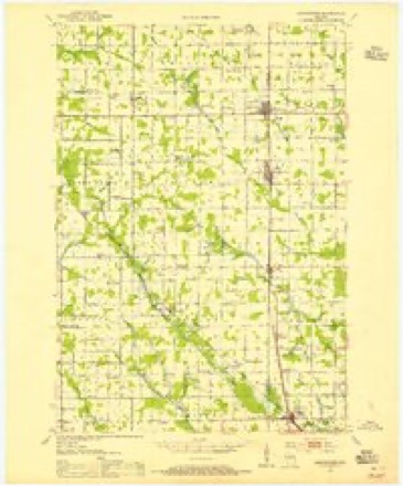
11 topographic sheets cover this place, the earliest surveyed in 1953 and the latest in 1984. It stands in Colby City. It lies in ZIP code area 54421. The Survey maps it on the Abbotsford quadrangle. 1,952 people lived here at the 2020 count. It stands 1,352 feet above sea level.
Topographic sheets covering this place
7 surveys from 11 printed sheetsMatched by testing this settlement's coordinate against the published boundary of every sheet in the United States Geological Survey's historical collection. Each opens the scanned sheet at the Survey.
- 1953 USGS Abbotsford quadrangle1:48000
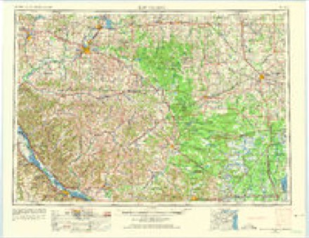
- 1953 USGS Eau Claire quadrangle1:250000, 4 printings
- 1958 USGS Eau Claire quadrangle1:250000
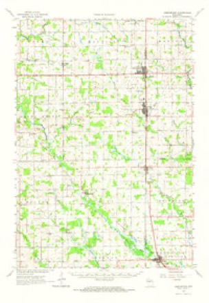
- 1963 USGS Abbotsford quadrangle1:62500
- 1964 USGS Eau Claire quadrangle1:250000
- 1981 USGS Abbotsford quadrangle1:24000
- 1984 USGS Marshfield quadrangle1:100000, 2 printings
In the county-history sources
1,696 words on this townshipHistory of Clark County Wisconsin, published 1918 names this settlement in its chapter on Colby City. These are the passages that mention it, exactly as the scans read.
Colby is one of the thriving towns on the line between Clark and Marathon counties, dividing allegiance between them. Formerly the Marathon County half was called Hull and there was a lack of harmony which prevented the best development, but a city organization overcame this defect, and now Colby presents a united front in the line of progress. It is near the Big Eau Pleine River, one of the tributaries of the Wisconsin River, and was a station on the old Wisconsin Central - now the "Soo" line - in the early logging days of 1872, and so was a prominent place before some of the rest of the county was known.
Passage source: History of Clark County Wisconsin, published 1918.
Colby was named after Gardner Colby, of Boston, of the Colby-Philips Construction Company, who built the railroad for the Wisconsin Central Company, of which his son, Charles L. Colby, was president. It now has an electric light and water plant representing an investment of $35,000, and which has been in operation since 1903. There is a good city library. The population in 1918 is 869.
Passage source: History of Clark County Wisconsin, published 1918.
The principal industries of Colby are the manufacture of cheese and dairying. There is also in the city a cheese box factory, giving employment to about thirty men, and which at one time was used for the construction of silos. There is also a foundry and machine shop, sawmill, flour and feed mill, marble works, pop factory, four blacksmith shops and a grain elevator. The mercantile and associated interests are represented by three general stores, one grocery and bakery, two hardware stores, one furniture store, one drug store, two millinery stores, two shoe stores, one meat market, one harness shop, two barber shops, a garage, the ''Soo'"' Railroad Insurance offices, one newspaper and one bank. There are also five churches and two school buildings - one graded and one high school.
Passage source: History of Clark County Wisconsin, published 1918.
Machine-read from a century-old scan, so expect the errors a machine makes: misspelled names, dropped words, stray characters.
Read the whole chapter on Colby City - it names this place 10 more 10 times.
Fires near this place
3 since 2019Regional context, not property-specific evidence. The federal wildfire occurrence database lists 3 fires within 5 miles of Colby between 2019 and 2020, burning under an acre in total. None started naturally. 1 was recorded as arson. Distance is straight-line from the map coordinates, so a fire counted here may appear on a neighbouring settlement's page as well.
| Reported cause | Fires |
|---|---|
| Missing data/not specified/undetermined | 2 |
| Arson/incendiarism | 1 |
The most recent of them, most recent first, with the day each was reported and the service that recorded it.
| Date | Cause | Size | Reported by | Name on the report |
|---|---|---|---|---|
| 16 June 2020 | Missing data/not specified/undetermined | under an acre | Wisconsin Department of Natural Resources | 20042 |
| 5 May 2019 | Arson/incendiarism | under an acre | Wisconsin Department of Natural Resources | 19027 |
| 20 April 2019 | Missing data/not specified/undetermined | under an acre | Wisconsin Department of Natural Resources | 19025 |
Settlements close enough to share some of these fires:
Mines and quarries near this place
10 of 15 shownRegional context, not property-specific evidence. The federal mineral resources record lists 15 workings within 5 miles of Colby: 9 past producers, 6 occurrences. None of them still produces. What was taken out: Stone, Crushed/Broken, Sand and Gravel, Construction. Distance is straight-line from the map coordinates, so a quarry counted here may appear on a neighbouring settlement's page as well.
| Where | Site | Commodity | Status | Recorded |
|---|---|---|---|---|
| Clark County Highway Dept. Pits | Sand and Gravel, Construction | Past Producer | ||
| Gierl Road Gravel Pit | Sand and Gravel, Construction | Past Producer | ||
| Kunze Gravel Deposit | Sand and Gravel, Construction | Occurrence | ||
| Lincoln Road Gravel Pit | Sand and Gravel, Construction | Past Producer | ||
| Popple Road Gravel Pit | Sand and Gravel, Construction | Past Producer | ||
| Washington Road Gravel Pit | Sand and Gravel, Construction | Past Producer | ||
| Cherokee Park Granite Quarry | Stone, Crushed/Broken | Past Producer | ||
| Dill Creek Granite Quarry #1 | Stone, Crushed/Broken | Past Producer | ||
| Elm Road Granite Quarry #1 | Stone, Crushed/Broken | Past Producer | ||
| Gierl Road Granite Deposit | Stone, Crushed/Broken | Occurrence |
Storms near this place
14 since 2001Regional context, not property-specific evidence. The National Weather Service names Colby in 14 storm reports between 2001 and 2024: 7 hail, 6 thunderstorm wind, 1 tornado. No death or injury is recorded in these reports. Each account below is quoted exactly as the forecast office filed it, from the NOAA Storm Events Database, and each date opens the federal record of that event.
| When | Event | Place named | Harm | What the report says |
|---|---|---|---|---|
| June 2024 | Tornado (EF0) | Colby | $15,000 | A short-lived EF-0 tornado started in the western side of Colby in Clark County before crossing the county line into Marathon County in NWS Green Bay's warning area. Clark County Emergency Management confirmed a garage door was blown in on the west side of a large manufacturing facility on Division Street. Some roof and tree damage was noted in the vicinity of this facility. |
| July 2008 | Thunderstorm Wind | Colby | $12,000 | Numerous trees and branches were knocked down along with hail damage to cars. |
| September 2018 | Thunderstorm Wind | Colby | $10,000 | Several trees were blown down and some roof and crop damage also occurred near Colby. |
| July 2002 | Thunderstorm Wind | Colby | $5,000 | no account filed |
| July 2019 | Thunderstorm Wind | Colby | $3,000 | Numerous tree branches were blown down and the power was knocked out in Colby. |
| August 2013 | Thunderstorm Wind | Colby | $2,000 | A power pole was snapped by strong winds that brought power lines down in Colby. |
| May 2004 | Thunderstorm Wind | Colby | $300 | no account filed |
| June 2012 | Hail | Colby | - | Quarter to golf ball sized hail fell from just southwest of Colby into Colby. |
| June 2021 | Hail | Colby | - | no account filed |
| August 2020 | Hail | Colby | - | no account filed |
| July 2008 | Hail | Colby | - | no account filed |
| August 2005 | Hail | Colby | - | no account filed |
| April 2002 | Hail | Colby | - | no account filed |
| May 2001 | Hail | Colby | - | no account filed |
Nearest settlements
The eight closest, with where each one stands in the county. Distances are straight-line, computed from the Geographic Names Information System coordinates.
| Map | Place | Distance | Sheets |
|---|---|---|---|
| Abbotsford | 2.5 miles | 11 | |
| Unity | 4.0 miles | 11 | |
| Dorchester | 6.5 miles | 6 | |
| Curtiss | 7.0 miles | 11 | |
| Riplinger | 7.5 miles | 11 | |
| Atwood | 9.0 miles | 11 | |
| Bright | 11.6 miles | 11 | |
| Owen | 13.4 miles | 11 |
Elsewhere
Matched on this settlement's Geographic Names Information System number rather than its name, so it cannot be a different place of the same name in another state.
| Wikipedia article on Colby | An encyclopaedic summary. Its text is share-alike, so it is linked here rather than copied. |
| Wikidata item Q1569347 | The structured record the population and elevation above come from. Public domain (CC0). |
Provenance
This settlement is recorded in the Geographic Names Information System as feature 1563232. The sheet list is computed by point-in-boundary test against the United States Geological Survey's historical topographic inventory. Both are works of the United States government and carry no copyright under 17 U.S.C. 105.
Wildfire. Short, Karen C. 2022. Spatial wildfire occurrence data for the United States, 1992-2020 [FPA_FOD_20221014]. 6th Edition. Fort Collins, CO: Forest Service Research Data Archive. https://doi.org/10.2737/RDS-2013-0009.6 Collected with United States Government funding and usable without additional permissions or fees.
Mines and quarries. USGS Mineral Resources Data System (MRDS) https://mrdata.usgs.gov/mrds/ A work of the United States government, no copyright under 17 U.S.C. 105.
Storms. NOAA National Centers for Environmental Information, Storm Events Database https://www.ncei.noaa.gov/stormevents/ A work of the United States government, no copyright under 17 U.S.C. 105. Narratives are quoted verbatim from the National Weather Service report and are not edited or summarised.