 Block
Curtiss, Wisconsin
11 topographic sheets cover this place, the earliest surveyed in 1953 and the latest in 1984. It stands in Curtiss Village. It lies in ZIP code area 54422. The Survey maps it on the Curtiss quadrangle. 292 people lived here at the 2020 count. It stands 1,365 feet above sea level.
Population over time
2 figuresCurtiss grew from 216 to 292 between 2010 and 2020. These are the recorded population figures Wikidata holds for this place, reached through the Geographic Names Information System number this page is keyed on rather than by name, so they belong to this place and not to another of the same name. Most are census counts, but not all are: an early figure may be a founding or settlement estimate, and an estimate published within five years of a census is left out. The change column is computed, and is left blank where more than 20 years separate a figure from the one before it, because a gap that long is not a change between two counts.
| Year | People | Change |
|---|---|---|
| 2010 | 216 | |
| 2020 | 292 | +76 (+35%) |
Topographic sheets covering this place
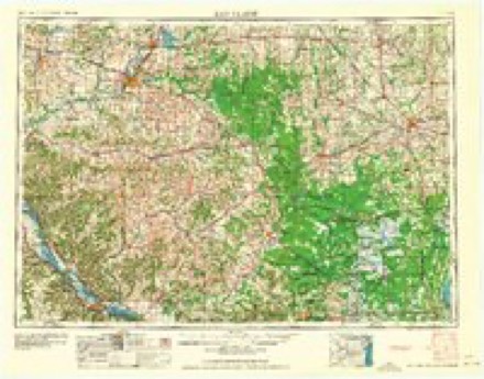
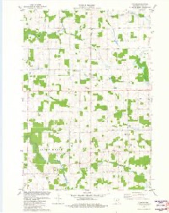
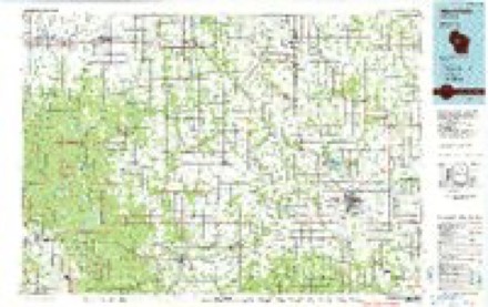
7 surveys from 11 printed sheetsMatched by testing this settlement's coordinate against the published boundary of every sheet in the United States Geological Survey's historical collection. Each opens the scanned sheet at the Survey.
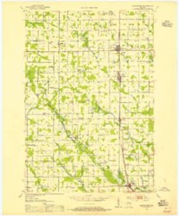
- 1953 USGS Abbotsford quadrangle1:48000
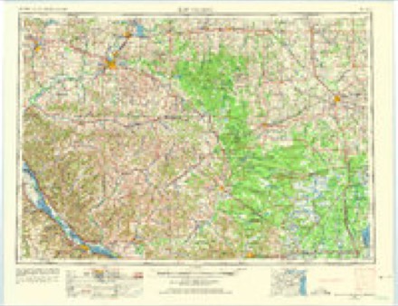
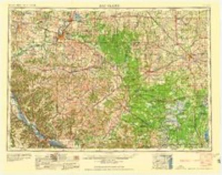
- 1953 USGS Eau Claire quadrangle1:250000, 4 printings
- 1958 USGS Eau Claire quadrangle1:250000
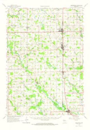
- 1963 USGS Abbotsford quadrangle1:62500
- 1964 USGS Eau Claire quadrangle1:250000
- 1981 USGS Curtiss quadrangle1:24000
- 1984 USGS Marshfield quadrangle1:100000, 2 printings
In the county-history sources
2,380 words on this townshipHistory of Clark County Wisconsin, published 1918 names this settlement in its chapter on Curtiss Village. These are the passages that mention it, exactly as the scans read.
Among the early settlers of Curtiss were: A. B. Mathias, who came from Loyal, Otto Jenke, from Sheboygan County, G. H. Thayer, who came from Fond du Lac County with his parents in 1887, Arne Olson, Wanre Ellis and Steve Platt, now dead. Bass & Clark started the sawmill in 1882 and moved the town from the flag station where the railroad intended it to be to the present site.
Passage source: History of Clark County Wisconsin, published 1918.
The village of Curtiss was platted Nov. 17, 1882, having been surveyed by Edwin R. Parks. The first steps towards incorporation were taken in 1914, a census being taken by B. B. Green, Sept. 10, and the survey made by S. F. Hewett in October. The application was made Oct. 20, 1914, and was signed by B. B. Green, Charles Bloc, H. Machlette, Frank Kraut, Alb E. Laabs and Herman Boehm. The petition was granted Nov. 28, 1914, and the charter election held at the old schoolhouse in Curtiss, Dec. 22 following, the judges and inspectors being F. W. Laabs, Glen Reibsamen and B. B. Green. Thirty-six votes were cast, the ayes numbering thirty-three and the noes three. On petition to the Circuit Court, signed by Henry Boehm, Henry Machlette, Frank Kraut, A. E. Laabs, Charles Bloc and B. B. Green, after examination of all papers in the case, Judge James O'Neill declared the incorporation null and void, Feb, 1, 1917.
Passage source: History of Clark County Wisconsin, published 1918.
Machine-read from a century-old scan, so expect the errors a machine makes: misspelled names, dropped words, stray characters.
Read the whole chapter on Curtiss Village - it names this place 1 more 1 time.
Fires near this place
2 since 2018Regional context, not property-specific evidence. The federal wildfire occurrence database lists 2 fires within 5 miles of Curtiss between 2018 and 2019, burning about 3 acres in total. None started naturally. None was recorded as arson. Distance is straight-line from the map coordinates, so a fire counted here may appear on a neighbouring settlement's page as well.
| Reported cause | Fires |
|---|---|
| Missing data/not specified/undetermined | 2 |
The most recent of them, most recent first, with the day each was reported and the service that recorded it.
| Date | Cause | Size | Reported by | Name on the report |
|---|---|---|---|---|
| 22 June 2019 | Missing data/not specified/undetermined | 2.0 acres | Wisconsin Department of Natural Resources | 19040 |
| 17 October 2018 | Missing data/not specified/undetermined | 1.0 acres | Wisconsin Department of Natural Resources | 2018055 |
Settlements close enough to share some of these fires:
Mines and quarries near this place
1 within 5 milesRegional context, not property-specific evidence. The federal mineral resources record lists 1 working within 5 miles of Curtiss: 1 past producer. None of them still produces. What was taken out: Sand and Gravel, Construction. Distance is straight-line from the map coordinates, so a quarry counted here may appear on a neighbouring settlement's page as well.
| Where | Site | Commodity | Status | Recorded |
|---|---|---|---|---|
| Clark County Highway Dept. Pits | Sand and Gravel, Construction | Past Producer |
Storms near this place
6 since 1997Regional context, not property-specific evidence. The National Weather Service names Curtiss in 6 storm reports between 1997 and 2025: 3 thunderstorm wind, 2 hail, 1 tornado. No death or injury is recorded in these reports. Each account below is quoted exactly as the forecast office filed it, from the NOAA Storm Events Database, and each date opens the federal record of that event.
| When | Event | Place named | Harm | What the report says |
|---|---|---|---|---|
| May 2025 | Tornado (EF2) | Curtiss | $725,000 | This strong tornado developed in fields west of Unity before tracking northeast toward Colby. As it moved through rural areas of northeastern Clark County, it damaged multiple farm outbuildings, trees, numerous power poles, and a home. NWS Storm Survey indicated EF2 damage to this home as the majority of its roof was removed with the attached garage heavily damaged. The tornado continued into the southeastern edge of Colby where multiple outbuildings, a home, and a car dealership sustained damage. The tornado moved into Marathon County before it quickly dissipated. |
| July 1997 | Thunderstorm Wind | Curtiss | $50,000 | no account filed |
| September 2012 | Thunderstorm Wind | Curtiss | $10,000 | Large trees and power lines were blown down along Hi Line Road southwest of Unity. |
| August 2000 | Hail | Curtiss | $2,000 | no account filed |
| July 2006 | Hail | Curtiss | $1,000 | no account filed |
| May 2004 | Thunderstorm Wind | Curtiss | $300 | no account filed |
Nearest settlements
The eight closest, with where each one stands in the county. Distances are straight-line, computed from the Geographic Names Information System coordinates.
| Map | Place | Distance | Sheets |
|---|---|---|---|
| Atwood | 5.4 miles | 11 | |
| Dorchester | 6.2 miles | 6 | |
| Abbotsford | 6.3 miles | 11 | |
| Owen | 6.9 miles | 11 | |
| Colby | 7.0 miles | 11 | |
| Bright | 7.0 miles | 11 | |
| Withee | 8.6 miles | 11 | |
| Riplinger | 9.1 miles | 11 |
Elsewhere
Matched on this settlement's Geographic Names Information System number rather than its name, so it cannot be a different place of the same name in another state.
| Wikipedia article on Curtiss | An encyclopaedic summary. Its text is share-alike, so it is linked here rather than copied. |
| Wikidata item Q1876029 | The structured record the population and elevation above come from. Public domain (CC0). |
Provenance
This settlement is recorded in the Geographic Names Information System as feature 1563636. The sheet list is computed by point-in-boundary test against the United States Geological Survey's historical topographic inventory. Both are works of the United States government and carry no copyright under 17 U.S.C. 105.
Wildfire. Short, Karen C. 2022. Spatial wildfire occurrence data for the United States, 1992-2020 [FPA_FOD_20221014]. 6th Edition. Fort Collins, CO: Forest Service Research Data Archive. https://doi.org/10.2737/RDS-2013-0009.6 Collected with United States Government funding and usable without additional permissions or fees.
Mines and quarries. USGS Mineral Resources Data System (MRDS) https://mrdata.usgs.gov/mrds/ A work of the United States government, no copyright under 17 U.S.C. 105.
Storms. NOAA National Centers for Environmental Information, Storm Events Database https://www.ncei.noaa.gov/stormevents/ A work of the United States government, no copyright under 17 U.S.C. 105. Narratives are quoted verbatim from the National Weather Service report and are not edited or summarised.