 Block
Dorchester, Wisconsin
6 topographic sheets cover this place, the earliest surveyed in 1951 and the latest in 1980. It stands in Dorchester Village. It lies in ZIP code area 54425. The Survey maps it on the Stetsonville quadrangle. 849 people lived here at the 2020 count. It stands 1,427 feet above sea level.
Topographic sheets covering this place
5 surveys from 6 printed sheetsMatched by testing this settlement's coordinate against the published boundary of every sheet in the United States Geological Survey's historical collection. Each opens the scanned sheet at the Survey.
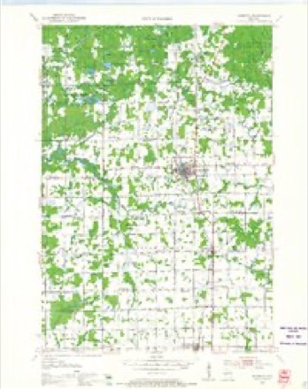
- 1951 USGS Medford quadrangle1:48000
- 1953 USGS Rice Lake quadrangle1:250000, 2 printings
- 1959 USGS Rice Lake quadrangle1:250000
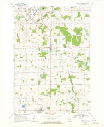
- 1969 USGS Stetsonville quadrangle1:24000
- 1980 USGS Medford quadrangle1:100000
In the county-history sources
1,039 words on this townshipHistory of Clark County Wisconsin, published 1918 names this settlement in its chapter on Dorchester Village. These are the passages that mention it, exactly as the scans read.
Dorchester lies between the Eau Pleine River, three miles to the east and Poplar River, a like distance to the west, being on the water shed, one stream flowing into the Wisconsin River and the other being a part of the Black River system. It is on the Soo line and at one time was an important mill town, but in later years prospers as the center of a rich farming community. It is one of the thrifty and progressive towns in the northeastern corner of the county, two miles from one county line and a half mile from another.
Passage source: History of Clark County Wisconsin, published 1918.
The principal business enterprises now flourishing in Dorchester are three general stores, one clothing store, three hardware stores, one tinshop, two blacksmith shops, one furniture store, one restaurant, one bowling alley, one drug store, two garages, one livery stable, two hotels, five saloons, one feed mill, one flour and feed store, one saw and planing mill, a potato warehouse, a barber shop, one cheese paraffining station, a bank, a newspaper, and one of the best opera houses on the line from Marshfield to Ashland. The village contains two doctors and its religious interests are well taken care of by six churches.
Passage source: History of Clark County Wisconsin, published 1918.
Dorchester had its beginning in 1874. At that time the railroad station was a section house at the end of the railroad two miles north of the present village. The village was platted July 14, 1874, on land owned by the Wisconsin Central Railroad. The first residence was a log shanty on the homestead of Louis Robbins. The first store was that of Dan. Miltimore. Soon afterward the Evans and Sands mills went up, and for many years the village was an important lumbering center. The railroad brought quite a few homesteaders who took land in the vicinity, thus stimulating the growth of the village, but for many years most of the new arrivals were lumbermen, who spent the winters in the woods and departed in the spring.
Passage source: History of Clark County Wisconsin, published 1918.
Machine-read from a century-old scan, so expect the errors a machine makes: misspelled names, dropped words, stray characters.
Read the whole chapter on Dorchester Village - it names this place 1 more 1 time.
Fires near this place
24 since 1993Regional context, not property-specific evidence. The federal wildfire occurrence database lists 24 fires within 5 miles of Dorchester between 1993 and 2019, burning about 17 acres in total. None started naturally. 3 were recorded as arson. Distance is straight-line from the map coordinates, so a fire counted here may appear on a neighbouring settlement's page as well.
| Reported cause | Fires |
|---|---|
| Debris and open burning | 11 |
| Missing data/not specified/undetermined | 3 |
| Arson/incendiarism | 3 |
| Recreation and ceremony | 2 |
| Equipment and vehicle use | 2 |
| Fireworks | 2 |
| Other causes | 1 |
The most recent of them, most recent first, with the day each was reported and the service that recorded it.
| Date | Cause | Size | Reported by | Name on the report |
|---|---|---|---|---|
| 6 September 2012 | Other causes | under an acre | Wisconsin Department of Natural Resources | not named |
| 11 September 2005 | Debris and open burning | under an acre | Wisconsin Department of Natural Resources | not named |
| 11 September 2004 | Arson/incendiarism | under an acre | Wisconsin Department of Natural Resources | not named |
| 11 September 2004 | Arson/incendiarism | under an acre | Wisconsin Department of Natural Resources | not named |
| 7 August 2005 | Equipment and vehicle use | 7.0 acres | Wisconsin Department of Natural Resources | not named |
| 5 July 2013 | Fireworks | under an acre | Wisconsin Department of Natural Resources | not named |
| 4 July 1998 | Fireworks | under an acre | Wisconsin Department of Natural Resources | not named |
| 20 July 2007 | Arson/incendiarism | 1.1 acres | Wisconsin Department of Natural Resources | not named |
Settlements close enough to share some of these fires:
Mines and quarries near this place
4 within 5 milesRegional context, not property-specific evidence. The federal mineral resources record lists 4 workings within 5 miles of Dorchester: 3 past producers, 1 occurrence. None of them still produces. What was taken out: Stone, Crushed/Broken, Flagstone. Distance is straight-line from the map coordinates, so a quarry counted here may appear on a neighbouring settlement's page as well.
| Where | Site | Commodity | Status | Recorded |
|---|---|---|---|---|
| Dorchester Quarry | Flagstone | Past Producer | ||
| Deer Creek Gneiss Deposit | Stone, Crushed/Broken | Occurrence | ||
| James Bragg Granite Quarry | Stone, Crushed/Broken | Past Producer | ||
| Scheibe Granite Quarry | Stone, Crushed/Broken | Past Producer |
Storms near this place
12 since 1999Regional context, not property-specific evidence. The National Weather Service names Dorchester in 12 storm reports between 1999 and 2024: 5 thunderstorm wind, 2 hail, 2 funnel cloud, 2 heavy rain. No death or injury is recorded in these reports. Each account below is quoted exactly as the forecast office filed it, from the NOAA Storm Events Database, and each date opens the federal record of that event.
| When | Event | Place named | Harm | What the report says |
|---|---|---|---|---|
| July 2011 | Flash Flood | Dorchester | $15,000 | Locally heavy rains across the northern portions of Clark County washed out a total of 11 roads. Most of these washouts were minor and were repaired by the end of July 20th. |
| March 2017 | Thunderstorm Wind | Dorchester | $5,000 | Power lines were blown down near Dorchester. Damage also occurred to outbuildings and trees. |
| May 2017 | Thunderstorm Wind | Dorchester | $2,000 | Trees were blown down in Dorchester. |
| May 2012 | Thunderstorm Wind | Dorchester | $2,000 | Trees were blown down at the intersection of Pine Road and Hiline Ave. |
| July 2008 | Thunderstorm Wind | Dorchester | $2,000 | Trees were blown down on County Road E south of the Taylor County line. |
| July 1999 | Thunderstorm Wind | Dorchester | $1,000 | no account filed |
| May 2024 | Hail | Dorchester | - | A trained spotter reported quarter sized hail 2 miles north of Dorchester. |
| September 2018 | Heavy Rain | Dorchester | - | In Dorchester, 3.56 inches of rain fell. |
| June 2018 | Heavy Rain | Dorchester | - | Near Dorchester, three inches of rain was reported. |
| August 2017 | Funnel Cloud | Dorchester | - | A short lived funnel cloud was sighted over Dorchester. |
| May 2011 | Funnel Cloud | Dorchester | - | no account filed |
| August 2005 | Hail | Dorchester | - | no account filed |
Nearest settlements
The eight closest, with where each one stands in the county. Distances are straight-line, computed from the Geographic Names Information System coordinates.
Elsewhere
Matched on this settlement's Geographic Names Information System number rather than its name, so it cannot be a different place of the same name in another state.
| Wikipedia article on Dorchester | An encyclopaedic summary. Its text is share-alike, so it is linked here rather than copied. |
| Wikidata item Q2110698 | The structured record the population and elevation above come from. Public domain (CC0). |
Provenance
This settlement is recorded in the Geographic Names Information System as feature 1564058. The sheet list is computed by point-in-boundary test against the United States Geological Survey's historical topographic inventory. Both are works of the United States government and carry no copyright under 17 U.S.C. 105.
Wildfire. Short, Karen C. 2022. Spatial wildfire occurrence data for the United States, 1992-2020 [FPA_FOD_20221014]. 6th Edition. Fort Collins, CO: Forest Service Research Data Archive. https://doi.org/10.2737/RDS-2013-0009.6 Collected with United States Government funding and usable without additional permissions or fees.
Mines and quarries. USGS Mineral Resources Data System (MRDS) https://mrdata.usgs.gov/mrds/ A work of the United States government, no copyright under 17 U.S.C. 105.
Storms. NOAA National Centers for Environmental Information, Storm Events Database https://www.ncei.noaa.gov/stormevents/ A work of the United States government, no copyright under 17 U.S.C. 105. Narratives are quoted verbatim from the National Weather Service report and are not edited or summarised.