 Block
Waucousta, Wisconsin
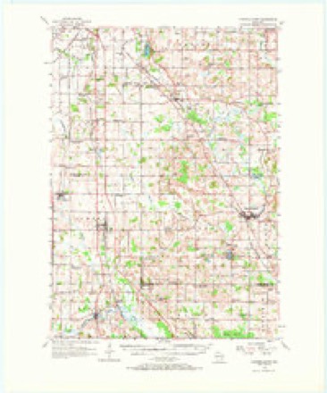
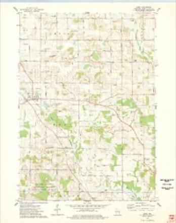
9 topographic sheets cover this place, the earliest surveyed in 1955 and the latest in 1980. It stands in Osceola town. It lies in ZIP code area 53010. The Survey maps it on the Eden quadrangle. It stands 1,027 feet above sea level.
Topographic sheets covering this place
5 surveys from 9 printed sheetsMatched by testing this settlement's coordinate against the published boundary of every sheet in the United States Geological Survey's historical collection. Each opens the scanned sheet at the Survey.
- 1955 USGS Campbellsport quadrangle1:62500, 2 printings
- 1957 USGS Madison quadrangle1:250000, 3 printings
- 1960 USGS Madison quadrangle1:250000, 2 printings
- 1974 USGS Eden quadrangle1:24000
- 1980 USGS Fond Du Lac quadrangle1:100000



In the county-history sources
4,232 words on this townshipThe History of Fond Du Lac County, Wisconsin, published 1880 names this settlement in its chapter on Osceola Town. These are the passages that mention it, exactly as the scans read.
The name of the famous chief of the Florida Indians is perpetuated in the name of this town - Township 14 north, of Range 19 east. It is rich in timber,' small lakes, fish and wild waterfowl. The town was named by VV. R. Longstreet. It was first settled, probably, in 1845, by Washington Noble, James Farr, and Peter Radliff, at what is now Waucousta. About eight months later, W. R. Longstreet, John Beeson, William Mitchell and Silas Allen settled at the same place, and John Graham, William Oliver, John Airhart, Joseph Cavanagh and others soon after settled in other parts of the town.
Passage source: The History of Fond Du Lac County, Wisconsin, published 1880.
CALiVIN H. ALiLElV, farmer, Sec. 30 ; P. O. Waucousta ; was born in Ashland Co., Ohio, Oct. 19, 1835 ; son of Capt. Silas Allen, who led a restless life, sailing for many years on Lake Michigan and the other great lakes; in 1847, he bought 400 acres of Government land in Osceola, on which he settled with his family in May, 1848 ; having but little means, the family saw much of pioneer privation and hardships ; after making a good farm and home of this wild land, Capt. A. sold it and removed to St. Joseph, Mich., where he died Jan. 12, 1872 ; a strong, earnest and true man, he was missed by scores of warm friends. C. H. Allen settled on his farm of eighty acres in 1857 ; of his first forty only eight had been cleared and broken ; beginning with almost nothing, he built a shanty and kept "bachelor's hall " about three years; Mr. Allen has reclaimed his land and made a most pleasant home. He married, March 22, 1860, Miss Sarah, daughter of James Yapp ; she was born in Worcestershire, England, coming to America in 1851, and residing in Fond du Lac until her marriage ; they have one son - Leonard J., born May 31, 1868. Both Mr. and Mrs. A. are supporters of Christianity, she being an Episcopalian. Mr. A. is, like his father, a Democrat.
Passage source: The History of Fond Du Lac County, Wisconsin, published 1880.
Machine-read from a century-old scan, so expect the errors a machine makes: misspelled names, dropped words, stray characters.
Read the whole chapter on Osceola Town - it names this place 3 more 3 times.
Fires near this place
23 since 2018Regional context, not property-specific evidence. The federal wildfire occurrence database lists 23 fires within 5 miles of Waucousta between 2018 and 2020, burning about 50 acres in total. None started naturally. None was recorded as arson. Distance is straight-line from the map coordinates, so a fire counted here may appear on a neighbouring settlement's page as well.
| Reported cause | Fires |
|---|---|
| Missing data/not specified/undetermined | 12 |
| Debris and open burning | 7 |
| Recreation and ceremony | 2 |
| Equipment and vehicle use | 1 |
| Smoking | 1 |
The most recent of them, most recent first, with the day each was reported and the service that recorded it.
| Date | Cause | Size | Reported by | Name on the report |
|---|---|---|---|---|
| 2 August 2019 | Debris and open burning | under an acre | Wisconsin Department of Natural Resources | 2019056 |
| 2 August 2019 | Debris and open burning | under an acre | Wisconsin Department of Natural Resources | 2019057 |
| 4 July 2018 | Debris and open burning | 1.0 acres | Wisconsin Department of Natural Resources | 201856 |
| 4 July 2018 | Missing data/not specified/undetermined | under an acre | Wisconsin Department of Natural Resources | 201858 |
| 25 July 2018 | Missing data/not specified/undetermined | under an acre | Wisconsin Department of Natural Resources | 201865 |
| 15 July 2020 | Recreation and ceremony | under an acre | Wisconsin Department of Natural Resources | 2020046 |
| 11 July 2018 | Debris and open burning | under an acre | Wisconsin Department of Natural Resources | 62 |
| 14 June 2018 | Missing data/not specified/undetermined | under an acre | Wisconsin Department of Natural Resources | 201849 |
Settlements close enough to share some of these fires:
Mines and quarries near this place
3 within 5 milesRegional context, not property-specific evidence. The federal mineral resources record lists 3 workings within 5 miles of Waucousta: 3 producers. All of them still produce. What was taken out: Sand and Gravel, Construction. Distance is straight-line from the map coordinates, so a quarry counted here may appear on a neighbouring settlement's page as well.
| Where | Site | Commodity | Status | Recorded |
|---|---|---|---|---|
| Ebert Pit | Sand and Gravel, Construction | Producer | ||
| Gelling County Pit | Sand and Gravel, Construction | Producer | ||
| Gobels Pit | Sand and Gravel, Construction | Producer |
Storms near this place
2 since 2005Regional context, not property-specific evidence. The National Weather Service names Waucousta in 2 storm reports between 2005 and 2017: 1 hail, 1 tornado. No death or injury is recorded in these reports. Each account below is quoted exactly as the forecast office filed it, from the NOAA Storm Events Database, and each date opens the federal record of that event.
| When | Event | Place named | Harm | What the report says |
|---|---|---|---|---|
| June 2017 | Tornado (EF0) | Waucousta | $7,000 | Storm survey revealed EF-0 damage with a peak wind around 80 mph. A couple uprooted trees and many snapped tree branches. Minor damage to the sliding door of a barn. A boat canopy was damaged. There were numerous eyewitnesses of a waterspout/tornado in the Kettle Moraine Lake area. |
| May 2005 | Hail | Waucousta | - | no account filed |
Nearest settlements
The eight closest, with where each one stands in the county. Distances are straight-line, computed from the Geographic Names Information System coordinates.
| Map | Place | Distance | Sheets |
|---|---|---|---|
| Campbellsport | 3.9 miles | 9 | |
| New Prospect | 5.0 miles | 12 | |
| Dundee | 5.1 miles | 13 | |
| Armstrong | 5.3 miles | 13 | |
| Chinatown | 5.6 miles | 13 | |
| Elmore | 5.8 miles | 9 | |
| Eden | 6.0 miles | 9 | |
| Dotyville | 6.9 miles | 12 |
Elsewhere
Matched on this settlement's Geographic Names Information System number rather than its name, so it cannot be a different place of the same name in another state.
| Wikipedia article on Waucousta | An encyclopaedic summary. Its text is share-alike, so it is linked here rather than copied. |
| Wikidata item Q7975129 | The structured record the population and elevation above come from. Public domain (CC0). |
Provenance
This settlement is recorded in the Geographic Names Information System as feature 1576308. The sheet list is computed by point-in-boundary test against the United States Geological Survey's historical topographic inventory. Both are works of the United States government and carry no copyright under 17 U.S.C. 105.
Wildfire. Short, Karen C. 2022. Spatial wildfire occurrence data for the United States, 1992-2020 [FPA_FOD_20221014]. 6th Edition. Fort Collins, CO: Forest Service Research Data Archive. https://doi.org/10.2737/RDS-2013-0009.6 Collected with United States Government funding and usable without additional permissions or fees.
Mines and quarries. USGS Mineral Resources Data System (MRDS) https://mrdata.usgs.gov/mrds/ A work of the United States government, no copyright under 17 U.S.C. 105.
Storms. NOAA National Centers for Environmental Information, Storm Events Database https://www.ncei.noaa.gov/stormevents/ A work of the United States government, no copyright under 17 U.S.C. 105. Narratives are quoted verbatim from the National Weather Service report and are not edited or summarised.