 Block
Farmersville, Wisconsin
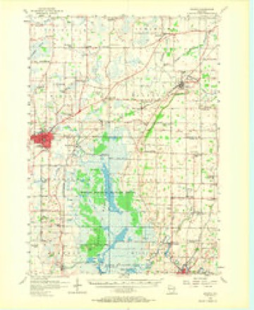
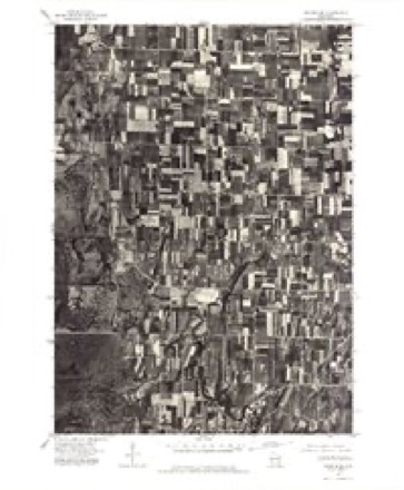
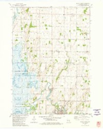
10 topographic sheets cover this place, the earliest surveyed in 1955 and the latest in 1981. It stands in Leroy town. It lies in ZIP code area 53050. The Survey maps it on the Mayville North quadrangle. It stands 981 feet above sea level.
Topographic sheets covering this place
6 surveys from 10 printed sheetsMatched by testing this settlement's coordinate against the published boundary of every sheet in the United States Geological Survey's historical collection. Each opens the scanned sheet at the Survey.
- 1955 USGS Waupun quadrangle1:62500, 2 printings
- 1957 USGS Madison quadrangle1:250000, 3 printings
- 1960 USGS Madison quadrangle1:250000, 2 printings
- 1975 USGS Waupun SE quadrangle1:24000
- 1980 USGS Fond Du Lac quadrangle1:100000
- 1981 USGS Mayville North quadrangle1:24000



In the county-history sources
4,088 words on this townshipThe History of Dodge County, Wisconsin, Containing ... Its Early Settlement, Growth ... an Extensive and Minute Sketch of Its Cities ... War Record, Biographical Sketches, published 1880 names this settlement in its chapter on Leroy Town. These are the passages that mention it, exactly as the scans read.
A\DBEW BACHHIIBEK, merchant and farmer, Farmersville ; born in Farmersville Nov. 30, 1857; he is a son of Max Bachhuber, who was born in Bavaria Dec. 13, 1832, and came to America in 1846, first locating in Addison, Washington Co., Wis., then removing to Milwaukee where he lived until 1855, when he settled in L^ Roy, Dodge Co.; here he owned a farm and store, and held many town offices; was a member of the Wisconsin Legislature in 1860, 1864 and 1875 ; serving as Postmaster of Farmersville nine years, and resigning in favor of his wife in 1875, who in turn resigned in 1879 Mr. Bachhuber died Feb. 2, 1879, leaving a wife and ten children. He was a Democrat in politics, and a Roman Catholic in religion. His son Andrew was educated in the Mayville High School, and is now ic charge of the farm and store, where he h;is a general stock of dry goods, groceries, hardware, tinware, crockery, patent medicines, notions, etc. He, like his honored father, is a Democrat and a Catholic ; was
Passage source: The History of Dodge County, Wisconsin, Containing ... Its Early Settlement, Growth ... an Extensive and Minute Sketch of Its Cities ... War Record, Biographical Sketches, published 1880.
Machine-read from a century-old scan, so expect the errors a machine makes: misspelled names, dropped words, stray characters.
Read the whole chapter on Leroy Town - it names this place 11 more 11 times.
Fires near this place
17 since 1996Regional context, not property-specific evidence. The federal wildfire occurrence database lists 17 fires within 5 miles of Farmersville between 1996 and 2020, burning about 729 acres in total. 1 started naturally. 1 was recorded as arson. Distance is straight-line from the map coordinates, so a fire counted here may appear on a neighbouring settlement's page as well.
| Reported cause | Fires |
|---|---|
| Debris and open burning | 6 |
| Missing data/not specified/undetermined | 5 |
| Equipment and vehicle use | 3 |
| Railroad operations and maintenance | 1 |
| Natural | 1 |
| Arson/incendiarism | 1 |
The most recent of them, most recent first, with the day each was reported and the service that recorded it.
| Date | Cause | Size | Reported by | Name on the report |
|---|---|---|---|---|
| 4 September 2014 | Equipment and vehicle use | under an acre | Horicon National Wildlife Refuge | GRINDER WF |
| 15 September 2011 | Debris and open burning | 1.5 acres | Horicon National Wildlife Refuge | SOUTH POINT WF |
| 16 August 2006 | Debris and open burning | under an acre | Horicon National Wildlife Refuge | BRUMMOND WF |
| 30 May 2017 | Railroad operations and maintenance | under an acre | Wisconsin Department of Natural Resources | THERESA SITE 2 |
| 9 April 2012 | Missing data/not specified/undetermined | 4.5 acres | Wisconsin Department of Natural Resources | not named |
| 24 April 2003 | Debris and open burning | 250 acres | Horicon National Wildlife Refuge | I-9 IMPOUNDMENT |
| 21 April 2019 | Debris and open burning | under an acre | Wisconsin Department of Natural Resources | 19023 |
| 2 April 2020 | Equipment and vehicle use | 1.0 acres | Wisconsin Department of Natural Resources | 20012 |
Settlements close enough to share some of these fires:
Mines and quarries near this place
3 within 5 milesRegional context, not property-specific evidence. The federal mineral resources record lists 3 workings within 5 miles of Farmersville: 2 producers, 1 unknown. 2 still produce. What was taken out: Calcium, Stone, Crushed/Broken, Stone. Distance is straight-line from the map coordinates, so a quarry counted here may appear on a neighbouring settlement's page as well.
| Where | Site | Commodity | Status | Recorded |
|---|---|---|---|---|
| Farmersville Quarry | Stone, Crushed/Broken | Producer | ||
| Farmersville Quarry | Stone | Unknown | ||
| Western Lime-Knowles Quarry | Calcium | Producer |
Storms near this place
3 since 2001Regional context, not property-specific evidence. The National Weather Service names Farmersville in 3 storm reports between 2001 and 2009: 2 thunderstorm wind, 1 lightning. No death or injury is recorded in these reports. Each account below is quoted exactly as the forecast office filed it, from the NOAA Storm Events Database, and each date opens the federal record of that event.
| When | Event | Place named | Harm | What the report says |
|---|---|---|---|---|
| May 2009 | Thunderstorm Wind | Farmersville | $165,000 | A microburst generated a 100 yard wide swath of tree and structural damage from just southeast of the Village of Farmersville northeast to Knowles. Wind gusts were estimated at 78 knots (90 mph). Damage included...2 barns down killing 7 cows, 4 sheds and 1 greenhouse destroyed, and 5 homes affected (minor damage). Also, about 150 trees were toppled or damaged. Heavy rainfall between 1.50 inches and 2.60 inches caused ponding of water on roads in the area. |
| August 2001 | Lightning | Farmersville | $75,000 | no account filed |
| June 2004 | Thunderstorm Wind | Farmersville | - | no account filed |
Nearest settlements
The eight closest, with where each one stands in the county. Distances are straight-line, computed from the Geographic Names Information System coordinates.
Elsewhere
Matched on this settlement's Geographic Names Information System number rather than its name, so it cannot be a different place of the same name in another state.
| Wikipedia article on Farmersville | An encyclopaedic summary. Its text is share-alike, so it is linked here rather than copied. |
| Wikidata item Q5435831 | The structured record the population and elevation above come from. Public domain (CC0). |
Provenance
This settlement is recorded in the Geographic Names Information System as feature 1564865. The sheet list is computed by point-in-boundary test against the United States Geological Survey's historical topographic inventory. Both are works of the United States government and carry no copyright under 17 U.S.C. 105.
Wildfire. Short, Karen C. 2022. Spatial wildfire occurrence data for the United States, 1992-2020 [FPA_FOD_20221014]. 6th Edition. Fort Collins, CO: Forest Service Research Data Archive. https://doi.org/10.2737/RDS-2013-0009.6 Collected with United States Government funding and usable without additional permissions or fees.
Mines and quarries. USGS Mineral Resources Data System (MRDS) https://mrdata.usgs.gov/mrds/ A work of the United States government, no copyright under 17 U.S.C. 105.
Storms. NOAA National Centers for Environmental Information, Storm Events Database https://www.ncei.noaa.gov/stormevents/ A work of the United States government, no copyright under 17 U.S.C. 105. Narratives are quoted verbatim from the National Weather Service report and are not edited or summarised.