 Block
Newark, Wisconsin
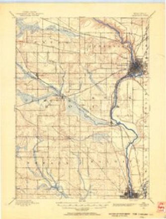
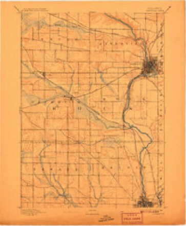
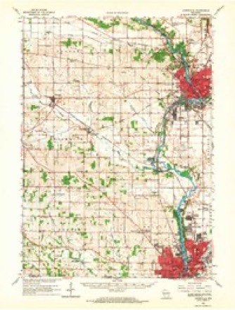
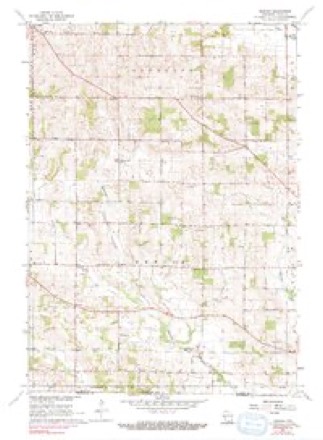
17 topographic sheets cover this place, the earliest surveyed in 1891 and the latest in 1981. It stands in Newark town. It lies in ZIP code area 53511. The Survey maps it on the Newark quadrangle.
Topographic sheets covering this place
9 surveys from 17 printed sheetsMatched by testing this settlement's coordinate against the published boundary of every sheet in the United States Geological Survey's historical collection. Each opens the scanned sheet at the Survey.
- 1891 USGS Janesville quadrangle1:62500
- 1893 USGS Janesville quadrangle1:62500, 4 printings
- 1954 USGS Rockford quadrangle1:250000
- 1955 USGS Rockford quadrangle1:250000
- 1958 USGS Rockford quadrangle1:250000, 4 printings
- 1962 USGS Janesville quadrangle1:62500
- 1962 USGS Newark quadrangle1:24000, 3 printings
- 1963 USGS Rockford quadrangle1:250000
- 1981 USGS Monroe quadrangle1:100000





In the county-history sources
6,401 words on this townshipHistory of Rock County, and Transactions of the Rock County Agricultural Society and Mechanics' Institute, published 1856 names this settlement in its chapter on Newark Town. These are the passages that mention it, exactly as the scans read.
This town adjoins Beloit, and is town one north, of range 11 cast, and thirteen miles southwest from JanesvUle. It was organized in the spring of 1846. The population in 1850 was 798; now, 1855, 1,117. It has nine school districts and seven school houses. The present number of scholai-s is 415, and receives the present year from the State School fund, $314 75. - Newark Post Office is in this town.
Passage source: History of Rock County, and Transactions of the Rock County Agricultural Society and Mechanics' Institute, published 1856.
In the; year 1842, Mrs. Gunale, a Norwegian widow lady, made the first location- made in this town. To her belongs the honor of having erected the fii-st log cabin in the town of Newark. , In the year 1843, she was followed by several of her countrymen, whose names I have not been able to ascertain." In the year 1844, Nathaniel Strong, , J. B. Smyth, John Stephens, Peter Me Vain, A. Gr^ Fblt, P. P. Chase, and others, made purchases, and erected houses, all of whom are among the most prominent citizens at this. present time. Since the year 1844 the town has increased steadily in population until it numbers at the present timo about 1,100 inhabitants.
Passage source: History of Rock County, and Transactions of the Rock County Agricultural Society and Mechanics' Institute, published 1856.
Three religious societies have at different times been organized within the limits of this town. :A,Ba,ptist organization in -184 9; a Congregational in 1845, and a Lutheran in 1844. The last mentioned, have a, ve?y ijespectable _.house of worship, and regular preaching. This society includes the Norwegian population, which constitute about one fourth of the whole population, of '.the town. , ; . .
Passage source: History of Rock County, and Transactions of the Rock County Agricultural Society and Mechanics' Institute, published 1856.
Machine-read from a century-old scan, so expect the errors a machine makes: misspelled names, dropped words, stray characters.
Read the whole chapter on Newark Town - it names this place 33 more 33 times.
Fires near this place
13 since 2009Regional context, not property-specific evidence. The federal wildfire occurrence database lists 13 fires within 5 miles of Newark between 2009 and 2019, burning about 27 acres in total. None started naturally. 1 was recorded as arson. Distance is straight-line from the map coordinates, so a fire counted here may appear on a neighbouring settlement's page as well.
| Reported cause | Fires |
|---|---|
| Missing data/not specified/undetermined | 6 |
| Debris and open burning | 5 |
| Equipment and vehicle use | 1 |
| Arson/incendiarism | 1 |
The most recent of them, most recent first, with the day each was reported and the service that recorded it.
| Date | Cause | Size | Reported by | Name on the report |
|---|---|---|---|---|
| 7 May 2018 | Missing data/not specified/undetermined | under an acre | Wisconsin Department of Natural Resources | 81 |
| 29 April 2018 | Missing data/not specified/undetermined | under an acre | Wisconsin Department of Natural Resources | 79 |
| 29 April 2018 | Debris and open burning | 5.0 acres | Wisconsin Department of Natural Resources | 78 |
| 29 April 2018 | Debris and open burning | under an acre | Wisconsin Department of Natural Resources | 82 |
| 22 April 2018 | Arson/incendiarism | 5.0 acres | Wisconsin Department of Natural Resources | 75 |
| 11 April 2009 | Equipment and vehicle use | 1.0 acres | Wisconsin Department of Natural Resources | AVON BOTTOMS |
| 7 March 2019 | Debris and open burning | under an acre | Wisconsin Department of Natural Resources | 52 |
| 30 March 2018 | Missing data/not specified/undetermined | 1.0 acres | Wisconsin Department of Natural Resources | 55 |
Settlements close enough to share some of these fires:
Mines and quarries near this place
2 within 5 milesRegional context, not property-specific evidence. The federal mineral resources record lists 2 workings within 5 miles of Newark: 2 past producers. None of them still produces. What was taken out: Stone, Crushed/Broken. Distance is straight-line from the map coordinates, so a quarry counted here may appear on a neighbouring settlement's page as well.
| Where | Site | Commodity | Status | Recorded |
|---|---|---|---|---|
| Cole Quarry | Stone, Crushed/Broken | Past Producer | ||
| Haugen Quarry | Stone, Crushed/Broken | Past Producer |
Storms near this place
11 since 1994Regional context, not property-specific evidence. The National Weather Service names Newark in 11 storm reports between 1994 and 2024: 6 thunderstorm wind, 3 hail, 1 flood, 1 tornado. No death or injury is recorded in these reports. Each account below is quoted exactly as the forecast office filed it, from the NOAA Storm Events Database, and each date opens the federal record of that event.
| When | Event | Place named | Harm | What the report says |
|---|---|---|---|---|
| May 2022 | Tornado (EF0) | Newark | $40,000 | Lone tornado on this day with most of this damage being from broken tree parts and some small sheds that were lofted. One trampoline was blown from the backyard over the top of the house and into the front yard. |
| July 2008 | Thunderstorm Wind | Newark | $15,000 | Powerful thunderstorm winds toppled large trees, and knocked down tree branches that brought down power-lines. |
| May 2013 | Thunderstorm Wind | Newark | $5,000 | Law enforcement officials reported a few trees and power lines downed by thunderstorm wind gusts estimated at 65 mph (56 knots) in Newark. |
| September 1994 | Thunderstorm Wind | Newark | $3,000 | no account filed |
| May 1998 | Thunderstorm Wind | Newark | $2,000 | no account filed |
| March 2017 | Thunderstorm Wind | Newark | $1,000 | A tree down in Newark Township. |
| March 2024 | Hail | Newark | - | Photo of one inch hail included in report. |
| August 2011 | Hail | Newark | - | no account filed |
| August 2011 | Hail | Newark | - | no account filed |
| June 2005 | Thunderstorm Wind | Newark | - | no account filed |
| August 2002 | Flood | Newark | - | no account filed |
Nearest settlements
The eight closest, with where each one stands in the county. Distances are straight-line, computed from the Geographic Names Information System coordinates.
| Map | Place | Distance | Sheets |
|---|---|---|---|
| Avon | 5.5 miles | 17 | |
| Orfordville | 6.0 miles | 17 | |
| Belcrest | 7.0 miles | 16 | |
| Victory Heights | 7.3 miles | 16 | |
| Hanover | 7.5 miles | 16 | |
| Christilla Heights | 8.3 miles | 16 | |
| Footville | 8.9 miles | 16 | |
| Spring Valley | 9.1 miles | 17 |
Provenance
This settlement is recorded in the Geographic Names Information System as feature 1570239. The sheet list is computed by point-in-boundary test against the United States Geological Survey's historical topographic inventory. Both are works of the United States government and carry no copyright under 17 U.S.C. 105.
Wildfire. Short, Karen C. 2022. Spatial wildfire occurrence data for the United States, 1992-2020 [FPA_FOD_20221014]. 6th Edition. Fort Collins, CO: Forest Service Research Data Archive. https://doi.org/10.2737/RDS-2013-0009.6 Collected with United States Government funding and usable without additional permissions or fees.
Mines and quarries. USGS Mineral Resources Data System (MRDS) https://mrdata.usgs.gov/mrds/ A work of the United States government, no copyright under 17 U.S.C. 105.
Storms. NOAA National Centers for Environmental Information, Storm Events Database https://www.ncei.noaa.gov/stormevents/ A work of the United States government, no copyright under 17 U.S.C. 105. Narratives are quoted verbatim from the National Weather Service report and are not edited or summarised.