 Block
Rockville, Wisconsin
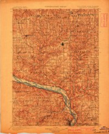
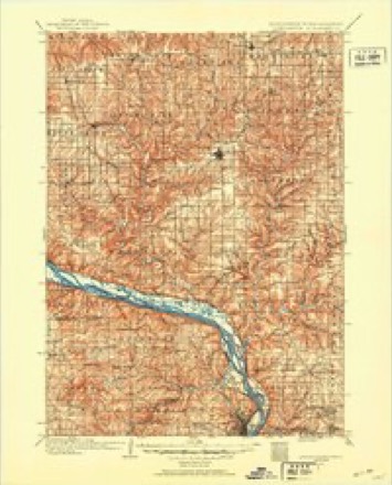
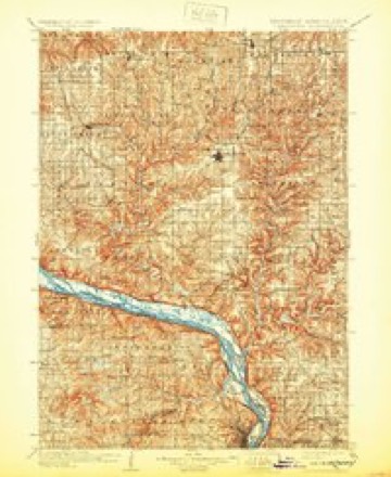
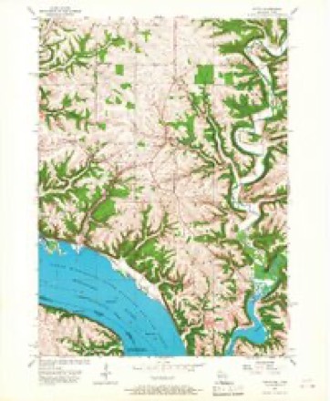
16 topographic sheets cover this place, the earliest surveyed in 1900 and the latest in 1984. It stands in Potosi town. It lies in ZIP code area 53820. The Survey maps it on the Potosi quadrangle. It stands 919 feet above sea level.
Topographic sheets covering this place
9 surveys from 16 printed sheetsMatched by testing this settlement's coordinate against the published boundary of every sheet in the United States Geological Survey's historical collection. Each opens the scanned sheet at the Survey.
- 1900 USGS Lancaster quadrangle1:125000
- 1904 USGS Lancaster quadrangle1:125000
- 1908 USGS Lancaster quadrangle1:125000, 5 printings
- 1957 USGS Potosi quadrangle1:24000, 2 printings
- 1959 USGS Dubuque quadrangle1:250000
- 1961 USGS Dubuque quadrangle1:250000
- 1962 USGS Dubuque quadrangle1:250000, 2 printings
- 1976 USGS Dubuque quadrangle1:250000
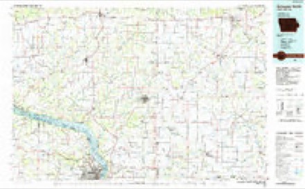
- 1984 USGS Dubuque North quadrangle1:100000, 2 printings
What happened here
An account from the chapter on Potosi town. The inset identifies its exact source book and publication year.
Thu Jim Crow Murder
In 1838 occurred the "Jim Crow " murder, which created great excitement, not only in Potosi but throughout the county. The Long Range, referred to on page 517, was discovered by one Phipps, who failed to find the main body of mineral and sold to Moore & Watson. The wealth soon developed in the lode tempted some persons to try to obtain forcible possession of it, and to accomplish this they enlisted two or three of a gang of ruffians who then infested the settlement, ready for any evil deed that promised plunder.
In the county-history sources
9,006 words on this townshipHistory of Grant County Wisconsin, published 1900 names this settlement in its chapter on Potosi Town. These are the passages that mention it, exactly as the scans read.
Among the early settlers of Potosi Major John R. Coons was prominent. He was born in Kentpcky and in 1808, while a boy he came to St. Louis, which was then a small French village. In 1827 he came as a clerk to Gratiot's Grove in Lafayette County. He took part in the Black Hawk War. In 1836 he came to Potosi, or rather Lafayette. Here he put up the first frame store building in the place, shipping the material from Cincinnati by river. This pioneer building is, or was a few years ago, a stable on the farm of Nicholas Bonn. His prosperous career as a merchant in Lafayette was cut short by the panic of 1837, when a house in Galena with which he was con- nected, failed, dragging him down with it. He never recovered from the disaster, but financial disaster could not obscure his good quali¬ ties, and he lived and died in Potosi with the esteem of all its inhab¬ itants.
Passage source: History of Grant County Wisconsin, published 1900.
Machine-read from a century-old scan, so expect the errors a machine makes: misspelled names, dropped words, stray characters.
Read the whole chapter on Potosi Town - it names this place 2 more 2 times.
Fires near this place
7 since 2018Regional context, not property-specific evidence. The federal wildfire occurrence database lists 7 fires within 5 miles of Rockville between 2018 and 2020, burning about 25 acres in total. None started naturally. None was recorded as arson. Distance is straight-line from the map coordinates, so a fire counted here may appear on a neighbouring settlement's page as well.
| Reported cause | Fires |
|---|---|
| Debris and open burning | 4 |
| Missing data/not specified/undetermined | 3 |
The most recent of them, most recent first, with the day each was reported and the service that recorded it.
| Date | Cause | Size | Reported by | Name on the report |
|---|---|---|---|---|
| 18 June 2018 | Debris and open burning | 1.0 acres | Wisconsin Department of Natural Resources | 2618 |
| 27 April 2020 | Missing data/not specified/undetermined | 1.0 acres | Wisconsin Department of Natural Resources | 2320 |
| 25 April 2018 | Debris and open burning | 2.0 acres | Wisconsin Department of Natural Resources | 2018 |
| 25 April 2018 | Debris and open burning | 1.0 acres | Wisconsin Department of Natural Resources | 2118 |
| 23 April 2018 | Debris and open burning | 2.0 acres | Wisconsin Department of Natural Resources | 1918 |
| 19 March 2018 | Missing data/not specified/undetermined | 17 acres | Wisconsin Department of Natural Resources | 1218 |
| 17 March 2018 | Missing data/not specified/undetermined | 1.0 acres | Wisconsin Department of Natural Resources | 1118 |
Settlements close enough to share some of these fires:
Mines and quarries near this place
10 of 25 shownRegional context, not property-specific evidence. The federal mineral resources record lists 25 workings within 5 miles of Rockville: 11 unknowns, 10 past producers, 3 producers, 1 occurrence. 3 still produce. What was taken out: Lead, Zinc, Stone, Crushed/Broken, Stone. Distance is straight-line from the map coordinates, so a quarry counted here may appear on a neighbouring settlement's page as well.
| Where | Site | Commodity | Status | Recorded |
|---|---|---|---|---|
| Beecher Sand Ltd. | Sand and Gravel, Construction | Producer | ||
| Bell Quarry | Stone | Unknown | ||
| Morsehead Quarry | Stone | Unknown | ||
| Bell Quarry | Stone, Crushed/Broken | Producer | ||
| Brogley Quarry | Stone, Crushed/Broken | Past Producer | ||
| Pennecamp Quarry | Stone, Crushed/Broken | Past Producer | ||
| Ulbircht-Schaefer Quarry | Stone, Crushed/Broken | Past Producer | ||
| Ulbrick Quarry | Stone, Crushed/Broken | Producer | ||
| Cardiff Mine No. 2 | Zinc, Lead | Past Producer | ||
| Cardiff No. 1 Mine | Zinc, Lead | Unknown | Sphalerite |
Storms near this place
22 since 2010Regional context, not property-specific evidence. The National Weather Service names Rockville in 22 storm reports between 2010 and 2025: 17 flood, 2 heavy rain, 2 hail, 1 tornado. No death or injury is recorded in these reports. Each account below is quoted exactly as the forecast office filed it, from the NOAA Storm Events Database, and each date opens the federal record of that event.
| When | Event | Place named | Harm | What the report says |
|---|---|---|---|---|
| March 2020 | Tornado (EF1) | Rockville | $180,000 | An EF1 tornado touched down north of Potosi and move northeast for 6 miles before dissipating west of Ellenboro. One house, numerous farm buildings, trees and power lines were damaged along the path of the tornado. |
| August 2025 | Flood | Rockville | - | Heavy rainfall during the middle of August allowed the Platte River of Rockville to rise into flood stage during the evening hours on August 19th. The river then rose to a crest of 10.20 ft in minor flood stage before falling below flood stage during the morning hours on August 20th. |
| March 2019 | Flood | Rockville | - | Runoff from rain and melting snow pushed the Platte River out of its banks near Rockville. The river crested over two feet above the flood stage at 11.59 feet on March 14th. |
| April 2019 | Hail | Rockville | - | Quarter sized hail fell near Tennyson. |
| February 2019 | Flood | Rockville | - | An ice jam on the Platte River caused flooding to occur near Rockville. The ice jam formed after temperatures warmed into the 40s during the early part of February. The river crested over a foot above the flood state at 10.19 feet. |
| September 2019 | Flood | Rockville | - | Runoff from heavy rain pushed the Platte River out of its banks near Rockville. The river crested almost a foot above the flood stage at 9.93 feet. |
| October 2019 | Flood | Rockville | - | Runoff from heavy rain pushed the Platte River out of its banks near Rockville. The river crested over three feet above the flood stage at 12.41 feet on the 2nd. |
| September 2019 | Flood | Rockville | - | Runoff from heavy rain pushed the Platte River out of its banks near Rockville. The river crested almost five feet above the flood stage at 13.73 feet. |
| September 2019 | Flood | Rockville | - | Runoff from heavy rain pushed the Platte River out of its banks near Rockville. The river crested just over two feet above the flood stage at 11.05 feet on the 12th. |
| January 2018 | Flood | Rockville | - | Ice jams and runoff from heavy rain caused flooding along the Platte River near Rockville. The river crested less than a quarter of a foot above the flood stage at 9.16 feet. |
| February 2018 | Flood | Rockville | - | Runoff from heavy rains pushed the Platte River out of its banks near Rockville. The river crested almost two feet above the flood stage at 10.79 feet. |
| September 2018 | Flood | Rockville | - | Runoff from heavy rains pushed the Platte River out of its banks near Rockville. The river crested over two feet above the flood stage at 11.69 feet. |
| June 2018 | Flood | Rockville | - | Runoff from heavy rain pushed the Platte River out of its banks near Rockville. The river crested over four feet above the flood stage at 13.11 feet. |
| July 2017 | Flood | Rockville | - | Runoff from heavy rains pushed the Platte River out of its banks near Rockville. The river crested over three and a half feet above the flood stage at 12.58 feet. |
| July 2016 | Flood | Rockville | - | Runoff from heavy rains pushed the Platte River out of its banks near Rockville. The river crested less than a foot over the flood stage at 9.8 feet. |
| January 2013 | Flood | Rockville | - | Runoff from snow melt and heavy rains pushed the Platte River out of its banks near Rockville. The river crested almost a foot and a half above the flood stage at 10.37 feet. |
| March 2013 | Flood | Rockville | - | Runoff from snow melt and heavy rains pushed the Platte River out of its banks near Rockville. The river crested almost a foot above the flood stage at 9.98 feet. |
| September 2012 | Heavy Rain | Rockville | - | During the evening of the 4th into the early morning hours of the 5th, 3.62 inches of rain fell in Rockville. |
| August 2010 | Flood | Rockville | - | Locally heavy rains pushed the Platte River near Rockville out of its banks on August 8th. The river exceeded the flood stage by almost a foot and a half, cresting at 10.43 feet. |
| July 2010 | Flood | Rockville | - | Locally heavy rains pushed the Platte River out of its banks in the vicinity of Rockville on July 24th. The river exceeded the flood stage by over three and a half feet cresting at 12.57 feet. |
| July 2010 | Heavy Rain | Rockville | - | An automated mesonet weather system measured 4.53 inches of rain in 3.5 hours. 2.82 inches of the total fell in one hour. |
| May 2011 | Hail | Rockville | - | no account filed |
Nearest settlements
The eight closest, with where each one stands in the county. Distances are straight-line, computed from the Geographic Names Information System coordinates.
| Map | Place | Distance | Sheets |
|---|---|---|---|
| Buena Vista | 1.0 miles | 16 | |
| British Hollow | 1.5 miles | 16 | |
| Tennyson | 2.6 miles | 16 | |
| Potosi | 3.1 miles | 16 | |
| Van Buren | 4.2 miles | 16 | |
| Ellenboro | 5.3 miles | 16 | |
| Cornelia | 6.1 miles | 17 | |
| Hurricane | 6.2 miles | 16 |
Elsewhere
Matched on this settlement's Geographic Names Information System number rather than its name, so it cannot be a different place of the same name in another state.
| Wikipedia article on Rockville | An encyclopaedic summary. Its text is share-alike, so it is linked here rather than copied. |
| Wikidata item Q7355620 | The structured record the population and elevation above come from. Public domain (CC0). |
Provenance
This settlement is recorded in the Geographic Names Information System as feature 1572489. The sheet list is computed by point-in-boundary test against the United States Geological Survey's historical topographic inventory. Both are works of the United States government and carry no copyright under 17 U.S.C. 105.
Wildfire. Short, Karen C. 2022. Spatial wildfire occurrence data for the United States, 1992-2020 [FPA_FOD_20221014]. 6th Edition. Fort Collins, CO: Forest Service Research Data Archive. https://doi.org/10.2737/RDS-2013-0009.6 Collected with United States Government funding and usable without additional permissions or fees.
Mines and quarries. USGS Mineral Resources Data System (MRDS) https://mrdata.usgs.gov/mrds/ A work of the United States government, no copyright under 17 U.S.C. 105.
Storms. NOAA National Centers for Environmental Information, Storm Events Database https://www.ncei.noaa.gov/stormevents/ A work of the United States government, no copyright under 17 U.S.C. 105. Narratives are quoted verbatim from the National Weather Service report and are not edited or summarised.