 Block
Van Buren, Wisconsin
16 topographic sheets cover this place, the earliest surveyed in 1900 and the latest in 1984. It stands in Potosi town. It lies in ZIP code area 53820. It stands on Potosi Creek. The Survey maps it on the Potosi quadrangle. It stands 656 feet above sea level.
On record in Van Buren
Buildings and businesses the archive holds for this place. Each opens its own page, with the source record it came from.
On the National Register within a mile 3 records
The National Register names another town for these. They stand within one mile of this settlement's coordinate.
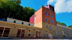 Potosi Brewerylisted 1980 · 0.0 miles away
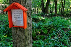 Potosi Badger Huts Sitelisted 1996 · 0.9 miles away
- St. John Minelisted 1979 · 0.8 miles away
Topographic sheets covering this place
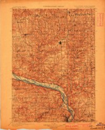
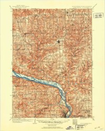
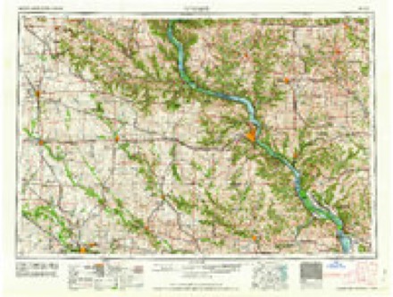
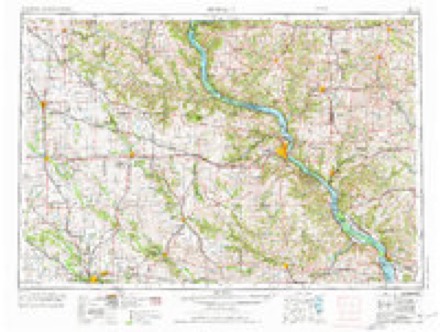
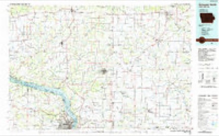
9 surveys from 16 printed sheetsMatched by testing this settlement's coordinate against the published boundary of every sheet in the United States Geological Survey's historical collection. Each opens the scanned sheet at the Survey.
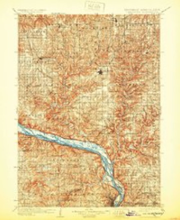
- 1900 USGS Lancaster quadrangle1:125000
- 1904 USGS Lancaster quadrangle1:125000
- 1908 USGS Lancaster quadrangle1:125000, 5 printings
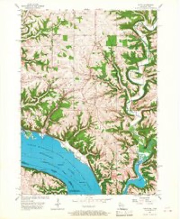
- 1957 USGS Potosi quadrangle1:24000, 2 printings
- 1959 USGS Dubuque quadrangle1:250000
- 1961 USGS Dubuque quadrangle1:250000
- 1962 USGS Dubuque quadrangle1:250000, 2 printings
- 1976 USGS Dubuque quadrangle1:250000
- 1984 USGS Dubuque North quadrangle1:100000, 2 printings
What happened here
An account from the chapter on Potosi town. The inset identifies its exact source book and publication year.
Thu Jim Crow Murder
In 1838 occurred the "Jim Crow " murder, which created great excitement, not only in Potosi but throughout the county. The Long Range, referred to on page 517, was discovered by one Phipps, who failed to find the main body of mineral and sold to Moore & Watson. The wealth soon developed in the lode tempted some persons to try to obtain forcible possession of it, and to accomplish this they enlisted two or three of a gang of ruffians who then infested the settlement, ready for any evil deed that promised plunder.
In the county-history sources
9,006 words on this townshipHistory of Grant County, Wisconsin, published 1881; History of Grant County Wisconsin, published 1900 names this settlement in its chapter on Potosi Town. These are the passages that mention it, exactly as the scans read.
The lower part of the village, comprising the section whereon Hail's brewery is now situated, called Van Buren, with Lafayette still southward on the left bank of Grant River, previous to the building up of Potosi proper, were the principal business portions of the town. The former place is known as the "Van Buren Entry," having been originally entered by Joseph Wooley and Robert Templeton prior to 1849. It was reserved from sale for a time by the Government on account of being mineral lands ; , but, as the story goes, witnesses were hired to go -over it blindfolded, then taken to the land-office and sworn that they had been all over the ground and could see no mineral. This may or may not be true, but the sections were never of any great moment as mining ground, and the Government lost nothing in the sale of these rough -and broken points.
Passage source: History of Grant County, Wisconsin, published 1881.
But the outrage aroused the people and the gang were again ar¬ rested and brought before Justice Nelson Dewey at Lancaster for trial. They brought strong influence to bear to clear themselves, but they found the Governor-to-be of quite different stuff from thePotosi justice, and they were sent to Prairie du Chien for safe keeping until their trial in the district court. But they soon got free on a writ of habeas corpus, granted by Judge Dunn, much to the dissatisfaction of the majority of the people.
Passage source: History of Grant County Wisconsin, published 1900.
The gang, including Rountree, Clark, and Harper, were compelled to leave the settlement. A meeting of the citizens also discussed the question of driving out Dr. Allen Hill, a friend of Rountree and Clark. But the Doctor himself took the floor with a rifle, and with great de¬ cision, enveloped in a good deal of profanity, informed the meeting that they could not drive him out and should not discuss the matter, and that he should shoot the first man that made a movement or spoke a syllable in an attempt to drive him out. The meeting at once adjourned informally, each man getting out of the room as quickly and quietly as possible.
Passage source: History of Grant County Wisconsin, published 1900.
Machine-read from a century-old scan, so expect the errors a machine makes: misspelled names, dropped words, stray characters.
Read the whole chapter on Potosi Town - it names this place 3 more 3 times.
Fires near this place
4 since 2018Regional context, not property-specific evidence. The federal wildfire occurrence database lists 4 fires within 5 miles of Van Buren between 2018 and 2020, burning about 20 acres in total. None started naturally. None was recorded as arson. Distance is straight-line from the map coordinates, so a fire counted here may appear on a neighbouring settlement's page as well.
| Reported cause | Fires |
|---|---|
| Missing data/not specified/undetermined | 3 |
| Debris and open burning | 1 |
The most recent of them, most recent first, with the day each was reported and the service that recorded it.
| Date | Cause | Size | Reported by | Name on the report |
|---|---|---|---|---|
| 18 June 2018 | Debris and open burning | 1.0 acres | Wisconsin Department of Natural Resources | 2618 |
| 27 April 2020 | Missing data/not specified/undetermined | 1.0 acres | Wisconsin Department of Natural Resources | 2320 |
| 19 March 2018 | Missing data/not specified/undetermined | 17 acres | Wisconsin Department of Natural Resources | 1218 |
| 17 March 2018 | Missing data/not specified/undetermined | 1.0 acres | Wisconsin Department of Natural Resources | 1118 |
Settlements close enough to share some of these fires:
Mines and quarries near this place
10 of 21 shownRegional context, not property-specific evidence. The federal mineral resources record lists 21 workings within 5 miles of Van Buren: 10 unknowns, 8 past producers, 2 producers, 1 occurrence. 2 still produce. What was taken out: Lead, Zinc, Stone, Crushed/Broken, Stone. Distance is straight-line from the map coordinates, so a quarry counted here may appear on a neighbouring settlement's page as well.
| Where | Site | Commodity | Status | Recorded |
|---|---|---|---|---|
| Beecher Sand Ltd. | Sand and Gravel, Construction | Producer | ||
| Bell Quarry | Stone | Unknown | ||
| Morsehead Quarry | Stone | Unknown | ||
| Ulbircht-Schaefer Quarry | Stone, Crushed/Broken | Past Producer | ||
| Ulbrick Quarry | Stone, Crushed/Broken | Producer | ||
| Cardiff Mine No. 2 | Zinc, Lead | Past Producer | ||
| Cardiff No. 1 Mine | Zinc, Lead | Unknown | Sphalerite | |
| Cardiff No. 2 Mine | Zinc, Lead | Unknown | Sphalerite | |
| Horseshoe Mine | Zinc, Lead | Unknown | ||
| Horseshoe Mine | Zinc, Lead | Past Producer |
Nearest settlements
The eight closest, with where each one stands in the county. Distances are straight-line, computed from the Geographic Names Information System coordinates.
| Map | Place | Distance | Sheets |
|---|---|---|---|
| Potosi | 1.2 miles | 16 | |
| Tennyson | 2.3 miles | 16 | |
| British Hollow | 2.9 miles | 16 | |
| Buena Vista | 3.2 miles | 16 | |
| Rockville | 4.2 miles | 16 | |
| Burton | 5.6 miles | 16 | |
| McCartney | 6.7 miles | 16 | |
| Dickeyville | 7.9 miles | 17 |
Elsewhere
Matched on this settlement's Geographic Names Information System number rather than its name, so it cannot be a different place of the same name in another state.
| Wikipedia article on Van Buren | An encyclopaedic summary. Its text is share-alike, so it is linked here rather than copied. |
| Wikidata item Q7913176 | The structured record the population and elevation above come from. Public domain (CC0). |
Provenance
This settlement is recorded in the Geographic Names Information System as feature 1840556. The sheet list is computed by point-in-boundary test against the United States Geological Survey's historical topographic inventory. Both are works of the United States government and carry no copyright under 17 U.S.C. 105.
Wildfire. Short, Karen C. 2022. Spatial wildfire occurrence data for the United States, 1992-2020 [FPA_FOD_20221014]. 6th Edition. Fort Collins, CO: Forest Service Research Data Archive. https://doi.org/10.2737/RDS-2013-0009.6 Collected with United States Government funding and usable without additional permissions or fees.
Mines and quarries. USGS Mineral Resources Data System (MRDS) https://mrdata.usgs.gov/mrds/ A work of the United States government, no copyright under 17 U.S.C. 105.