 Block
British Hollow, Wisconsin
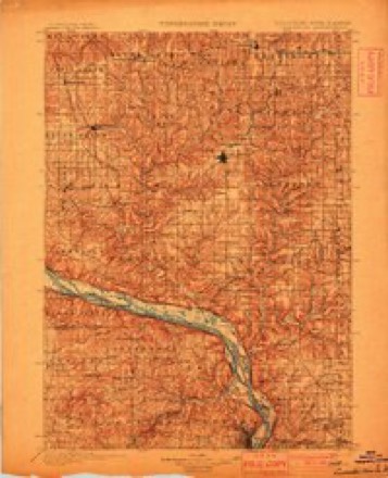
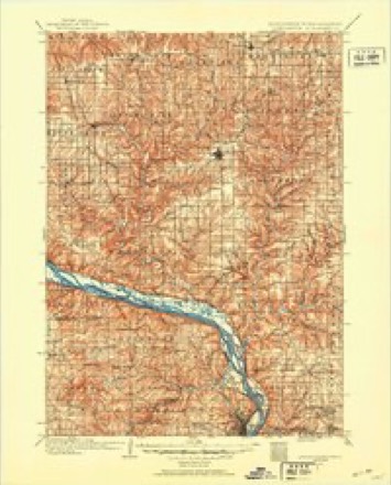
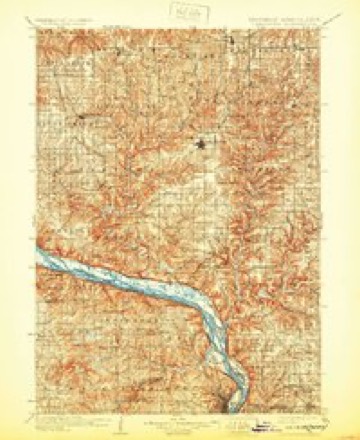
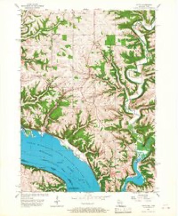
16 topographic sheets cover this place, the earliest surveyed in 1900 and the latest in 1984. It stands in Potosi town. It lies in ZIP code area 53820. The Survey maps it on the Potosi quadrangle.
Topographic sheets covering this place
9 surveys from 16 printed sheetsMatched by testing this settlement's coordinate against the published boundary of every sheet in the United States Geological Survey's historical collection. Each opens the scanned sheet at the Survey.
- 1900 USGS Lancaster quadrangle1:125000
- 1904 USGS Lancaster quadrangle1:125000
- 1908 USGS Lancaster quadrangle1:125000, 5 printings
- 1957 USGS Potosi quadrangle1:24000, 2 printings
- 1959 USGS Dubuque quadrangle1:250000
- 1961 USGS Dubuque quadrangle1:250000
- 1962 USGS Dubuque quadrangle1:250000, 2 printings
- 1976 USGS Dubuque quadrangle1:250000
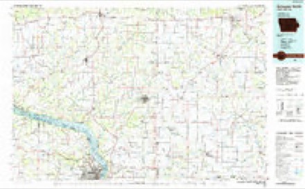
- 1984 USGS Dubuque North quadrangle1:100000, 2 printings
What happened here
An account from the chapter on Potosi town. The inset identifies its exact source book and publication year.
Thu Jim Crow Murder
In 1838 occurred the "Jim Crow " murder, which created great excitement, not only in Potosi but throughout the county. The Long Range, referred to on page 517, was discovered by one Phipps, who failed to find the main body of mineral and sold to Moore & Watson. The wealth soon developed in the lode tempted some persons to try to obtain forcible possession of it, and to accomplish this they enlisted two or three of a gang of ruffians who then infested the settlement, ready for any evil deed that promised plunder.
In the county-history sources
9,006 words on this townshipHistory of Grant County, Wisconsin, published 1881; History of Grant County Wisconsin, published 1900 names this settlement in its chapter on Potosi Town. These are the passages that mention it, exactly as the scans read.
The surface of the town, it may be said, is mostly of a rough, broken character, being traversed by many deep ravines or hollows, which debouch into the valleys of the Grant and Platte rivers. The best arable land constitutes the southern part of Boice Prairie. The soil is a rich gray loam, well adapted to the growth of corn, as also the principal cereals, and being embedded upon a substratum of clay, retains its moisture for a great length of time in dry seasons. Along the bluffs of the Mississippi, and upon the farms which reach out to the borders of Grant and
Passage source: History of Grant County, Wisconsin, published 1881.
In the spring of 1 839 the village of Van Buren was laid out by Joseph Woolley, Thomas Palliser, and Joseph Petty, although the place had for two years had a post-office and several buildings. Kalten bach that year added a tavern to his store. The city of Osceola was laid out by James P. Cox and the plat filed April 3, 1839. It was a magnificent plat on Sections 10, 11, 12, 14, and 15, Town 2, Range 3, and took in the entire river bottom from the main stream, across the sloughs, and part of the bluffs, south and east of Lafayette. The city did not materialize and the county records fail to show the sale of any
Passage source: History of Grant County Wisconsin, published 1900.
Among the early settlers of Potosi Major John R. Coons was prominent. He was born in Kentpcky and in 1808, while a boy he came to St. Louis, which was then a small French village. In 1827 he came as a clerk to Gratiot's Grove in Lafayette County. He took part in the Black Hawk War. In 1836 he came to Potosi, or rather Lafayette. Here he put up the first frame store building in the place, shipping the material from Cincinnati by river. This pioneer building is, or was a few years ago, a stable on the farm of Nicholas Bonn. His prosperous career as a merchant in Lafayette was cut short by the panic of 1837, when a house in Galena with which he was con- nected, failed, dragging him down with it. He never recovered from the disaster, but financial disaster could not obscure his good quali¬ ties, and he lived and died in Potosi with the esteem of all its inhab¬ itants.
Passage source: History of Grant County Wisconsin, published 1900.
Machine-read from a century-old scan, so expect the errors a machine makes: misspelled names, dropped words, stray characters.
Read the whole chapter on Potosi Town - it names this place 4 more 4 times.
Fires near this place
7 since 2018Regional context, not property-specific evidence. The federal wildfire occurrence database lists 7 fires within 5 miles of British Hollow between 2018 and 2020, burning about 25 acres in total. None started naturally. None was recorded as arson. Distance is straight-line from the map coordinates, so a fire counted here may appear on a neighbouring settlement's page as well.
| Reported cause | Fires |
|---|---|
| Debris and open burning | 4 |
| Missing data/not specified/undetermined | 3 |
The most recent of them, most recent first, with the day each was reported and the service that recorded it.
| Date | Cause | Size | Reported by | Name on the report |
|---|---|---|---|---|
| 18 June 2018 | Debris and open burning | 1.0 acres | Wisconsin Department of Natural Resources | 2618 |
| 27 April 2020 | Missing data/not specified/undetermined | 1.0 acres | Wisconsin Department of Natural Resources | 2320 |
| 25 April 2018 | Debris and open burning | 2.0 acres | Wisconsin Department of Natural Resources | 2018 |
| 25 April 2018 | Debris and open burning | 1.0 acres | Wisconsin Department of Natural Resources | 2118 |
| 23 April 2018 | Debris and open burning | 2.0 acres | Wisconsin Department of Natural Resources | 1918 |
| 19 March 2018 | Missing data/not specified/undetermined | 17 acres | Wisconsin Department of Natural Resources | 1218 |
| 17 March 2018 | Missing data/not specified/undetermined | 1.0 acres | Wisconsin Department of Natural Resources | 1118 |
Settlements close enough to share some of these fires:
Mines and quarries near this place
10 of 24 shownRegional context, not property-specific evidence. The federal mineral resources record lists 24 workings within 5 miles of British Hollow: 11 unknowns, 9 past producers, 3 producers, 1 occurrence. 3 still produce. What was taken out: Lead, Zinc, Stone, Crushed/Broken, Stone. Distance is straight-line from the map coordinates, so a quarry counted here may appear on a neighbouring settlement's page as well.
| Where | Site | Commodity | Status | Recorded |
|---|---|---|---|---|
| Beecher Sand Ltd. | Sand and Gravel, Construction | Producer | ||
| Bell Quarry | Stone | Unknown | ||
| Morsehead Quarry | Stone | Unknown | ||
| Bell Quarry | Stone, Crushed/Broken | Producer | ||
| Pennecamp Quarry | Stone, Crushed/Broken | Past Producer | ||
| Ulbircht-Schaefer Quarry | Stone, Crushed/Broken | Past Producer | ||
| Ulbrick Quarry | Stone, Crushed/Broken | Producer | ||
| Cardiff Mine No. 2 | Zinc, Lead | Past Producer | ||
| Cardiff No. 1 Mine | Zinc, Lead | Unknown | Sphalerite | |
| Cardiff No. 2 Mine | Zinc, Lead | Unknown | Sphalerite |
Nearest settlements
The eight closest, with where each one stands in the county. Distances are straight-line, computed from the Geographic Names Information System coordinates.
Provenance
This settlement is recorded in the Geographic Names Information System as feature 1562221. The sheet list is computed by point-in-boundary test against the United States Geological Survey's historical topographic inventory. Both are works of the United States government and carry no copyright under 17 U.S.C. 105.
Wildfire. Short, Karen C. 2022. Spatial wildfire occurrence data for the United States, 1992-2020 [FPA_FOD_20221014]. 6th Edition. Fort Collins, CO: Forest Service Research Data Archive. https://doi.org/10.2737/RDS-2013-0009.6 Collected with United States Government funding and usable without additional permissions or fees.
Mines and quarries. USGS Mineral Resources Data System (MRDS) https://mrdata.usgs.gov/mrds/ A work of the United States government, no copyright under 17 U.S.C. 105.