 Block
Wyalusing, Wisconsin
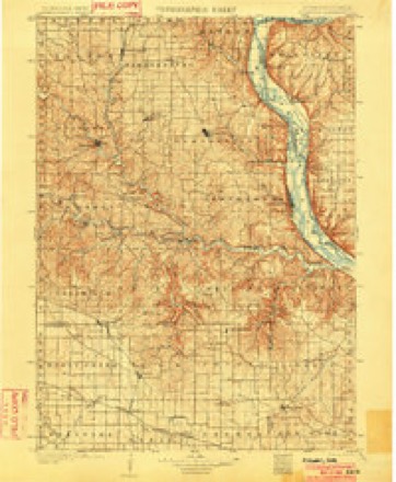
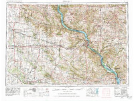
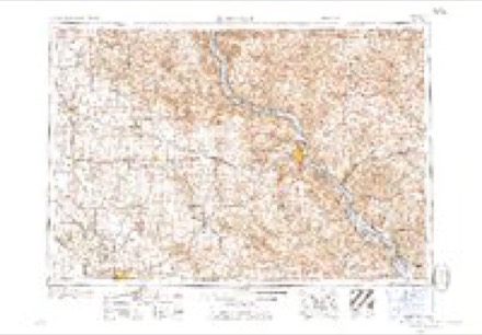
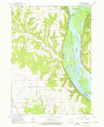
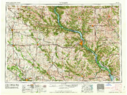
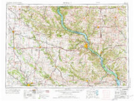
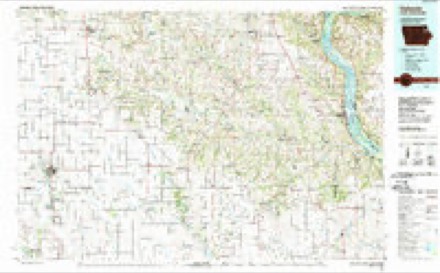
14 topographic sheets cover this place, the earliest surveyed in 1902 and the latest in 1984. It stands in Wyalusing town. It lies in ZIP code area 53801. It lies near Island Number One Hundred Seventy-seven. The Survey maps it on the Clayton quadrangle. It stands 630 feet above sea level.
Topographic sheets covering this place
7 surveys from 14 printed sheetsMatched by testing this settlement's coordinate against the published boundary of every sheet in the United States Geological Survey's historical collection. Each opens the scanned sheet at the Survey.
- 1902 USGS Elkader quadrangle1:125000, 4 printings
- 1959 USGS Dubuque quadrangle1:250000
- 1961 USGS Dubuque quadrangle1:250000
- 1962 USGS Clayton quadrangle1:24000, 3 printings
- 1962 USGS Dubuque quadrangle1:250000, 2 printings
- 1976 USGS Dubuque quadrangle1:250000
- 1984 USGS Oelwein quadrangle1:100000, 2 printings
In the county-history sources
496 words on this townshipHistory of Grant County, Wisconsin, published 1881 names this settlement in its chapter on Wyalusing Town. These are the passages that mention it, exactly as the scans read.
Early in the forties, the chances afforded for a good landing-place at the point occupied by the village of Wyalusing attracted the attention of parties interested in the building up of the county, and predicating their expectation on the fact that, with an exceptionally good landing, they might attract trade in that direction and gradually build up a thriving town, E. P. Finn, James M. Otis and L. 0. Schrader became the possessors of eighty acres of land, situated just above the present village. Here tbey laid out a village, and waited for purchasers of town lots. That others had thought this a good point, at least for the manufacture of logs and cordwcnd, was evinced by a solitary cabin, remained there as a reminder of those whose feet had pressed the soil before. The first settler in the village was Mr. Cranston, who was donated a lot by the proprietors, on the understanding that he vas to keep a house of entertainment for those happening in this section. The scheme proved not so successful in practice as in theory. Like many other 6chcm,es, it looked well on paper, but that was the only place -where it did look well. The property passed into diflerent hands until it reached those of Mr. N. W. Kendall. The latter gentleman erected a saw-mill at this point, and, together with Charles Blanford and Eobert Glenn, surveyed and platted the village of Wyalusing, in July, 1856. From the elaborate character of the plat, it -was evident that great expectations lingered in the minds of the proprietors. In the meantim.e, Mr. John Otis had opened a store in the new town, and trade was being slowly attracted in that direction. A large stone warehouse was in process of erection, and the fates seemed propitious for an extensive trading-post, the iron rails were laid, linking the eastern and western portions of the Slate, and Wyalusing. with its proprietors, suffered a crushing set-back. Although it staggered bravely on for a time, the place never recovered, and gradually began to settle back to its original status. Today it is but a feeble reminder of might have been."
Passage source: History of Grant County, Wisconsin, published 1881.
In 1854, the town of Wyalusing was erected from Patch Grove, and the first election was held April 3, 1855, when the following officers were chosen: Supervisors, Jonkim Gulick, Chaiiman, Eobert Glenn, H. E. Miles; Clerk, S. H. Seaman; Treasurer, N. W. Kendall; Assessor, W. P. Stephenson ; Superintendent of Schools, David Brodt ; Justices of the Peace, E. Jacobs, long term, S. Brodt, Charles Blanford, short term ; Constables, J. Brodt. B. Y. Griflen, W. H. Harvey. The present officers of the town are as follows: Supervisors, Edwin Glenn, Chairman, H. Strong, Lewis Glass; Clerk, L. Wellard ; Treasurer, A. Calkins; Ab- sessor, David Brodt ; Justices of the Peace, J. A. Harford, William Kern, long term, J. A. Bradley, L. Jacobs, short term ; Constables, A. Shrake, J. Vanamee, J. B. Palmer.
Passage source: History of Grant County, Wisconsin, published 1881.
Machine-read from a century-old scan, so expect the errors a machine makes: misspelled names, dropped words, stray characters.
Fires near this place
30 since 1992Regional context, not property-specific evidence. The federal wildfire occurrence database lists 30 fires within 5 miles of Wyalusing between 1992 and 2019, burning about 135 acres in total. None started naturally. 7 were recorded as arson. Distance is straight-line from the map coordinates, so a fire counted here may appear on a neighbouring settlement's page as well.
| Reported cause | Fires |
|---|---|
| Debris and open burning | 10 |
| Arson/incendiarism | 7 |
| Missing data/not specified/undetermined | 6 |
| Equipment and vehicle use | 3 |
| Smoking | 2 |
| Recreation and ceremony | 1 |
| Railroad operations and maintenance | 1 |
The most recent of them, most recent first, with the day each was reported and the service that recorded it.
| Date | Cause | Size | Reported by | Name on the report |
|---|---|---|---|---|
| 16 August 2015 | Equipment and vehicle use | under an acre | Wisconsin Department of Natural Resources | DRY HOLLOW FIRE |
| 25 June 1992 | Railroad operations and maintenance | under an acre | Wisconsin Department of Natural Resources | not named |
| 16 May 2006 | Arson/incendiarism | under an acre | Great Lakes Agency | POPPLETOWN FUZZ 3 |
| 7 April 2005 | Debris and open burning | under an acre | Wisconsin Department of Natural Resources | not named |
| 26 April 1993 | Equipment and vehicle use | under an acre | Wisconsin Department of Natural Resources | not named |
| 24 April 2003 | Smoking | 12 acres | Wisconsin Department of Natural Resources | not named |
| 21 April 2019 | Debris and open burning | 60 acres | Iowa Department of Natural Resources | not named |
| 17 April 2009 | Debris and open burning | under an acre | Wisconsin Department of Natural Resources | METAL GARDEN FIRE |
Settlements close enough to share some of these fires:
Mines and quarries near this place
9 within 5 milesRegional context, not property-specific evidence. The federal mineral resources record lists 9 workings within 5 miles of Wyalusing: 5 past producers, 4 producers. 4 still produce. What was taken out: Stone, Crushed/Broken, Lead, Sand and Gravel, Industrial/Frac Sand, Silica. Distance is straight-line from the map coordinates, so a quarry counted here may appear on a neighbouring settlement's page as well.
| Where | Site | Commodity | Status | Recorded |
|---|---|---|---|---|
| Pattison Sand Co. | Sand and Gravel, Industrial/Frac Sand, Silica | Producer | Sand | |
| Quarry | Lead | Past Producer | Galena | |
| Sny Magill Mines | Lead | Past Producer | Galena | |
| Blume Quarry | Stone, Crushed/Broken | Producer | ||
| Clark Quarry | Stone, Crushed/Broken | Past Producer | ||
| Dallas Cohen Quarry | Stone, Crushed/Broken | Past Producer | ||
| Mcgregor Quarry | Stone, Crushed/Broken | Producer | ||
| Mueller Quarry | Stone, Crushed/Broken | Past Producer | ||
| Sny Magill Quarry | Stone, Crushed/Broken | Producer |
Storms near this place
7 since 1994Regional context, not property-specific evidence. The National Weather Service names Wyalusing in 7 storm reports between 1994 and 2017: 3 thunderstorm wind, 2 hail, 2 flash flood. No death or injury is recorded in these reports. Each account below is quoted exactly as the forecast office filed it, from the NOAA Storm Events Database, and each date opens the federal record of that event.
| When | Event | Place named | Harm | What the report says |
|---|---|---|---|---|
| May 1999 | Hail | Wyalusing | $20,000 | no account filed |
| June 2017 | Thunderstorm Wind | Wyalusing | $15,000 | A tree was blown down onto a house north of Bagley. |
| June 2008 | Flash Flood | Wyalusing | $3,000 | Thunderstorms produced flash flooding over County Road X between Wyalusing State Park and Jellystone Campground northwest of Bagley. The Grant River also produced some flooding at Porter Bridge about five miles southwest of Lancaster. |
| June 2007 | Thunderstorm Wind | Wyalusing | $800 | no account filed |
| April 2009 | Flash Flood | Wyalusing | - | A trained spotter reported two feet of water over County Highway X and Law Enforcement officials reported flooded rural roadways in Grant County. |
| May 2000 | Hail | Wyalusing | - | no account filed |
| May 1994 | Thunderstorm Wind | Wyalusing | - | no account filed |
Nearest settlements
The eight closest, with where each one stands in the county. Distances are straight-line, computed from the Geographic Names Information System coordinates.
| Map | Place | Distance | Sheets |
|---|---|---|---|
| Bagley | 3.4 miles | 12 | |
| Brodtville | 5.1 miles | 12 | |
| Glen Haven | 8.9 miles | 13 | |
| Patch Grove | 9.0 miles | 16 | |
| Bloomington | 12.2 miles | 16 | |
| Millville | 12.8 miles | 10 | |
| North Andover | 12.8 miles | 16 | |
| Mount Hope | 15.1 miles | 15 |
Elsewhere
Matched on this settlement's Geographic Names Information System number rather than its name, so it cannot be a different place of the same name in another state.
| Wikipedia article on Wyalusing | An encyclopaedic summary. Its text is share-alike, so it is linked here rather than copied. |
| Wikidata item Q8039442 | The structured record the population and elevation above come from. Public domain (CC0). |
Provenance
This settlement is recorded in the Geographic Names Information System as feature 1577059. The sheet list is computed by point-in-boundary test against the United States Geological Survey's historical topographic inventory. Both are works of the United States government and carry no copyright under 17 U.S.C. 105.
Wildfire. Short, Karen C. 2022. Spatial wildfire occurrence data for the United States, 1992-2020 [FPA_FOD_20221014]. 6th Edition. Fort Collins, CO: Forest Service Research Data Archive. https://doi.org/10.2737/RDS-2013-0009.6 Collected with United States Government funding and usable without additional permissions or fees.
Mines and quarries. USGS Mineral Resources Data System (MRDS) https://mrdata.usgs.gov/mrds/ A work of the United States government, no copyright under 17 U.S.C. 105.
Storms. NOAA National Centers for Environmental Information, Storm Events Database https://www.ncei.noaa.gov/stormevents/ A work of the United States government, no copyright under 17 U.S.C. 105. Narratives are quoted verbatim from the National Weather Service report and are not edited or summarised.