 Block
From the record
12 National Register listings published here.
Sources: the National Register database, National Park Service
95 topographic sheets cover 63 settlements here, and 12 properties are on the National Register of Historic Places.
12 National Register listings published here.
Sources: the National Register database, National Park Service
Taken for the Office of War Information and the Farm Security Administration, who photographed the country between 1935 and 1944. Works of United States government photographers, with no known restriction on use. Each opens its catalogue record.
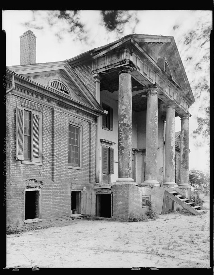
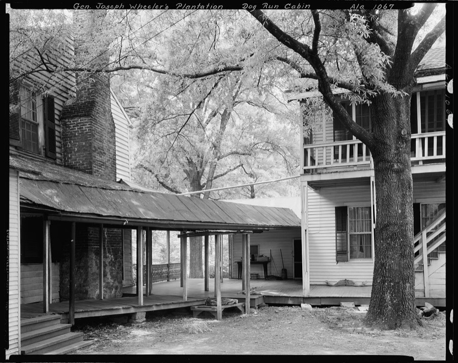
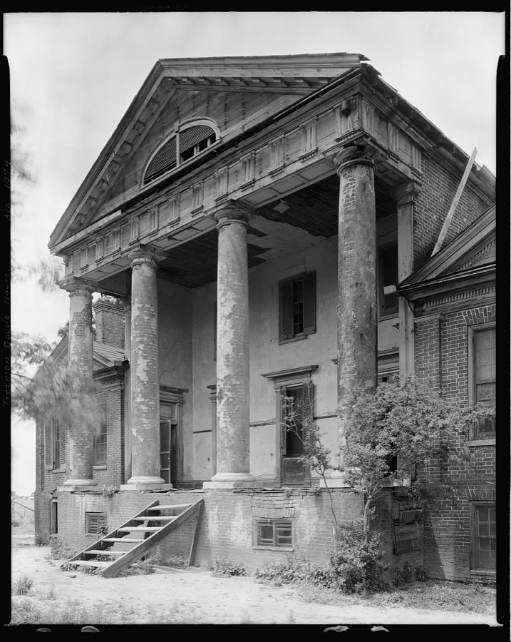

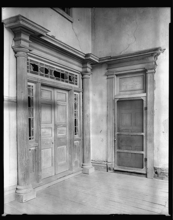
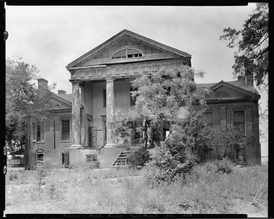
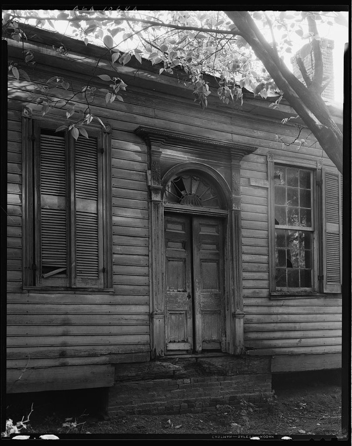
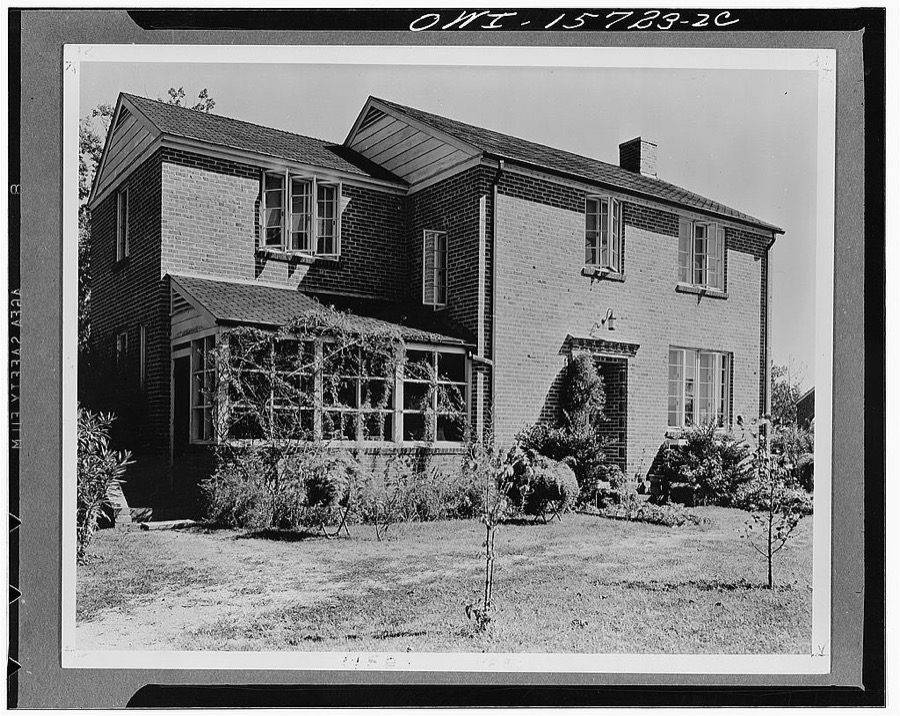
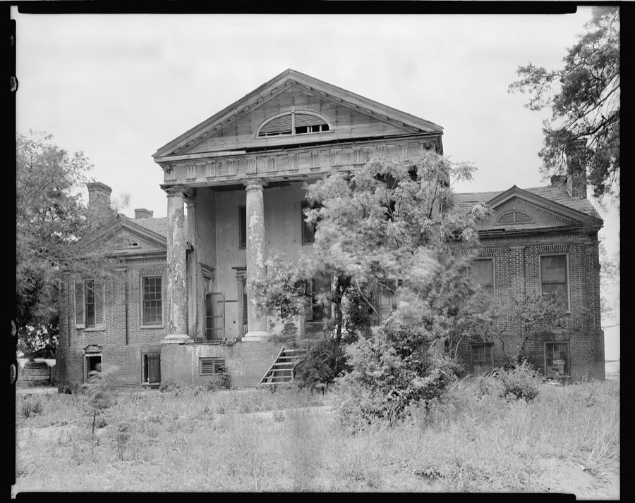
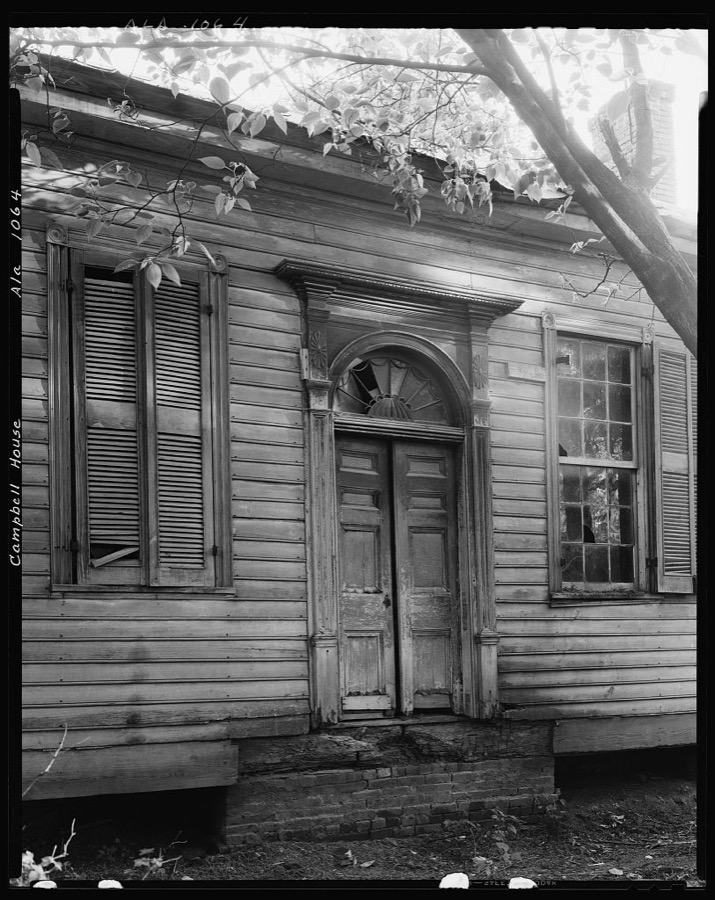
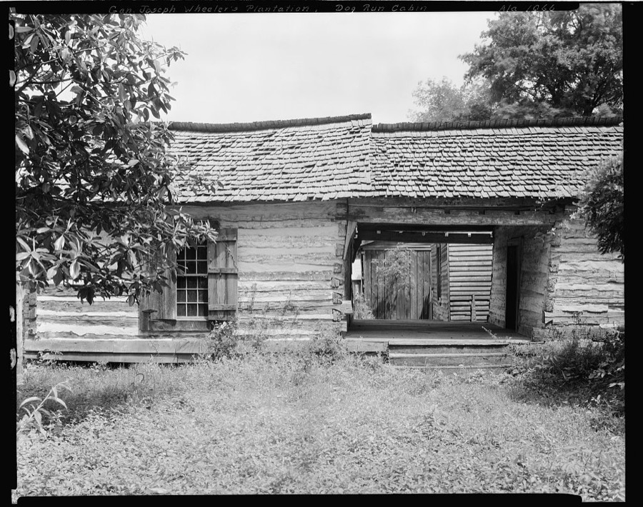
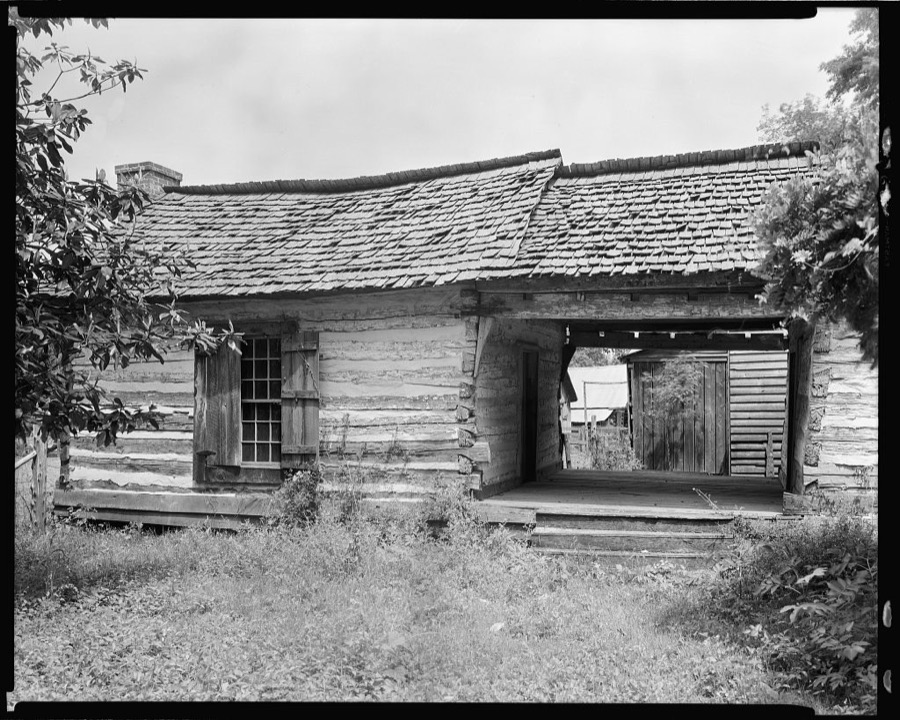
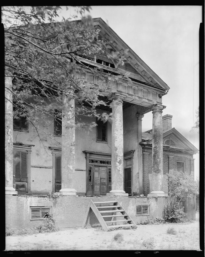
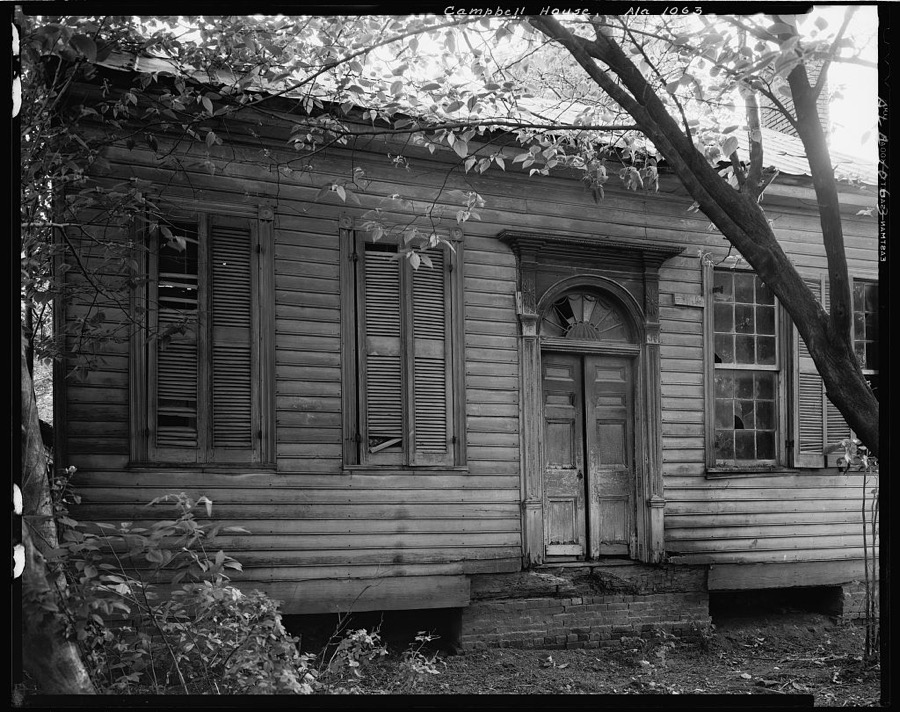
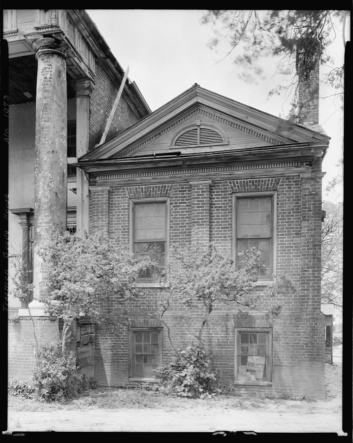
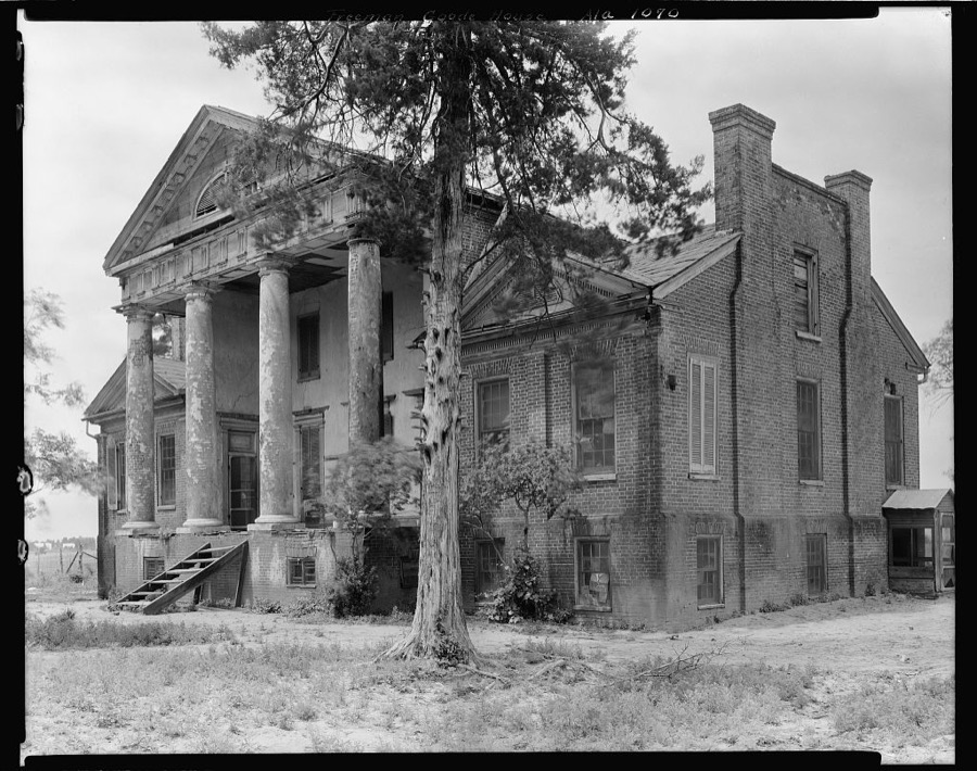
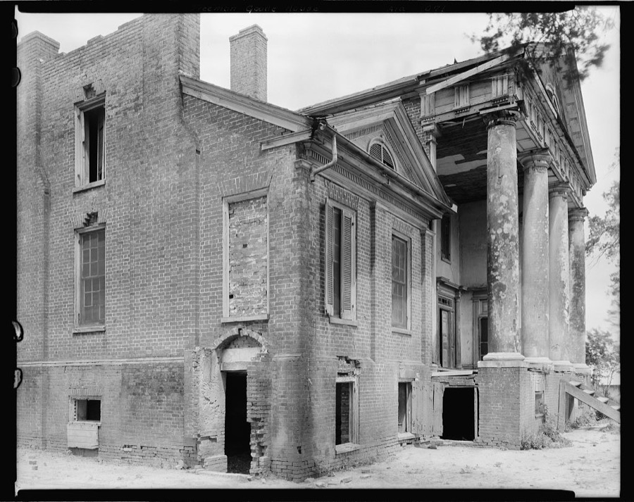
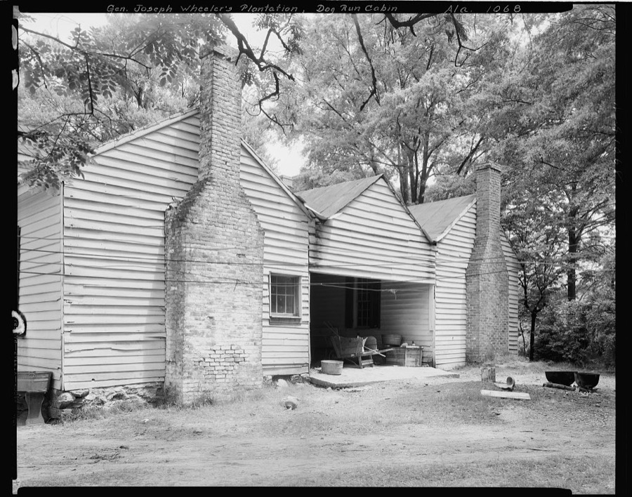
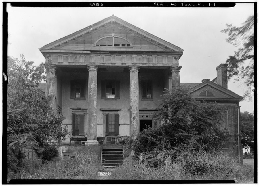
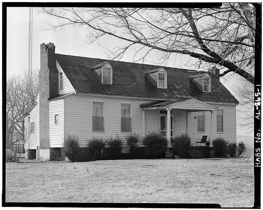
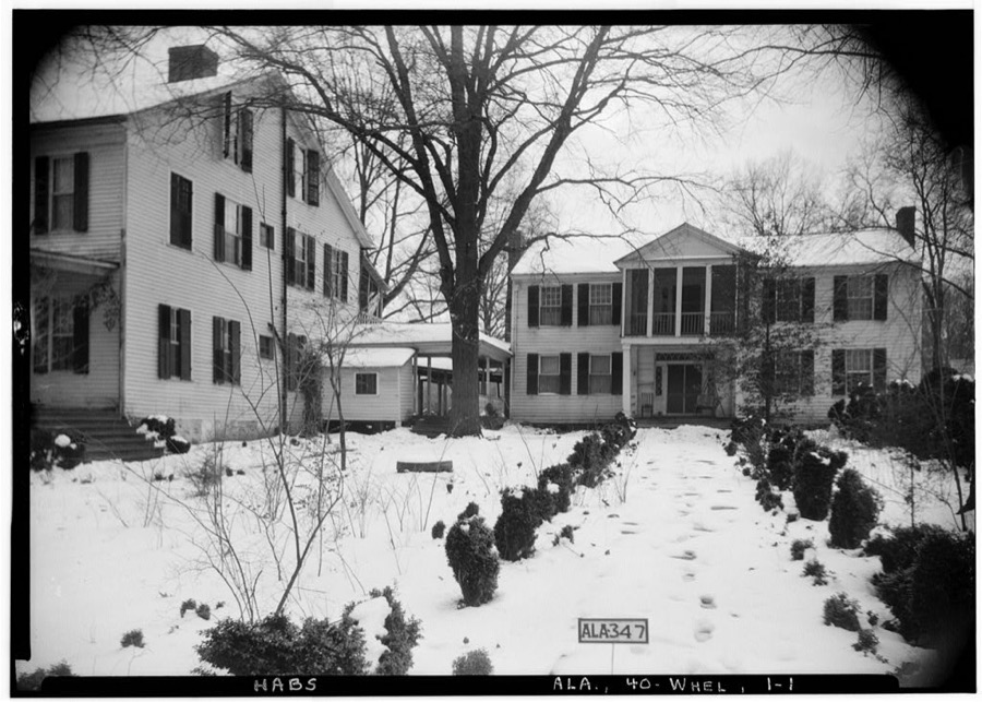
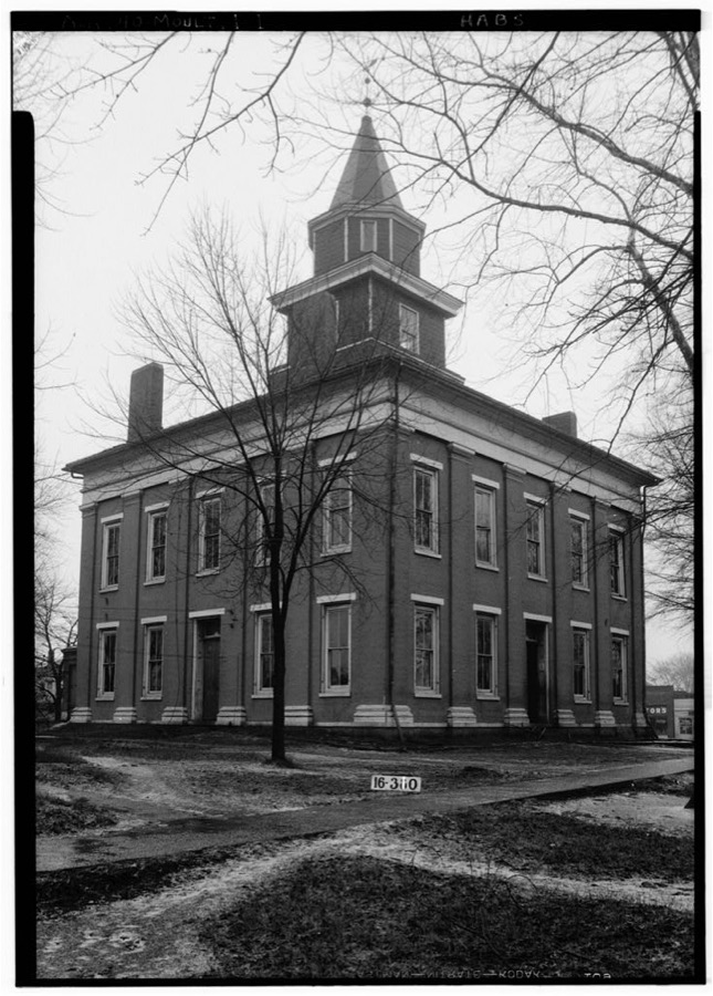
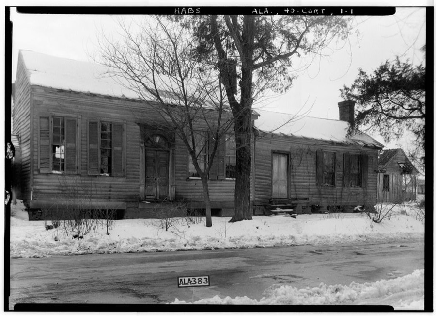
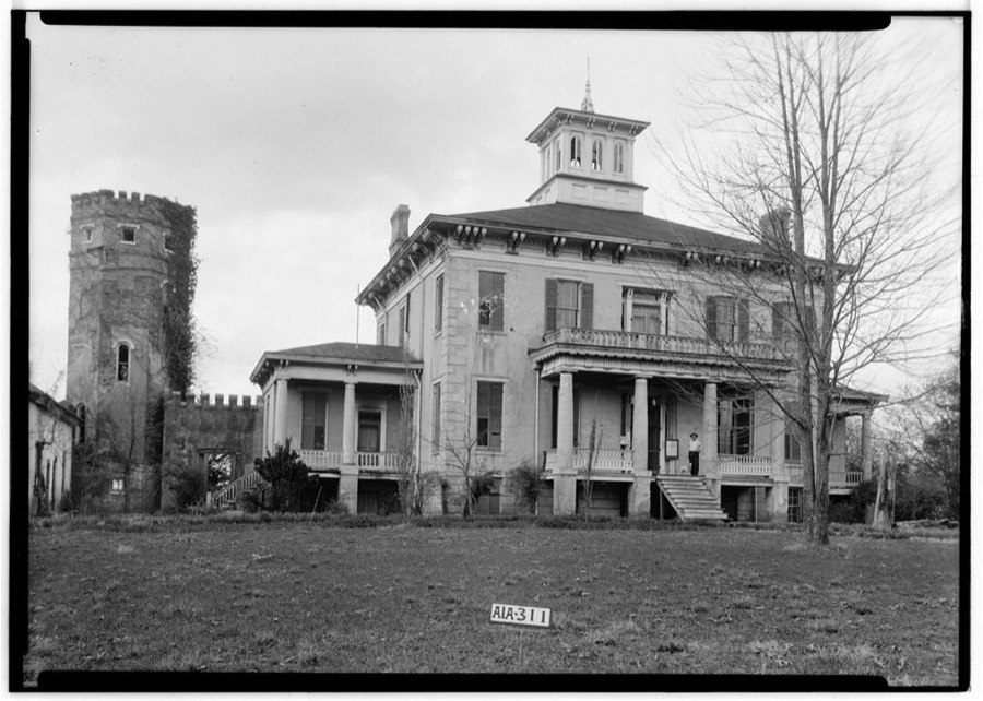
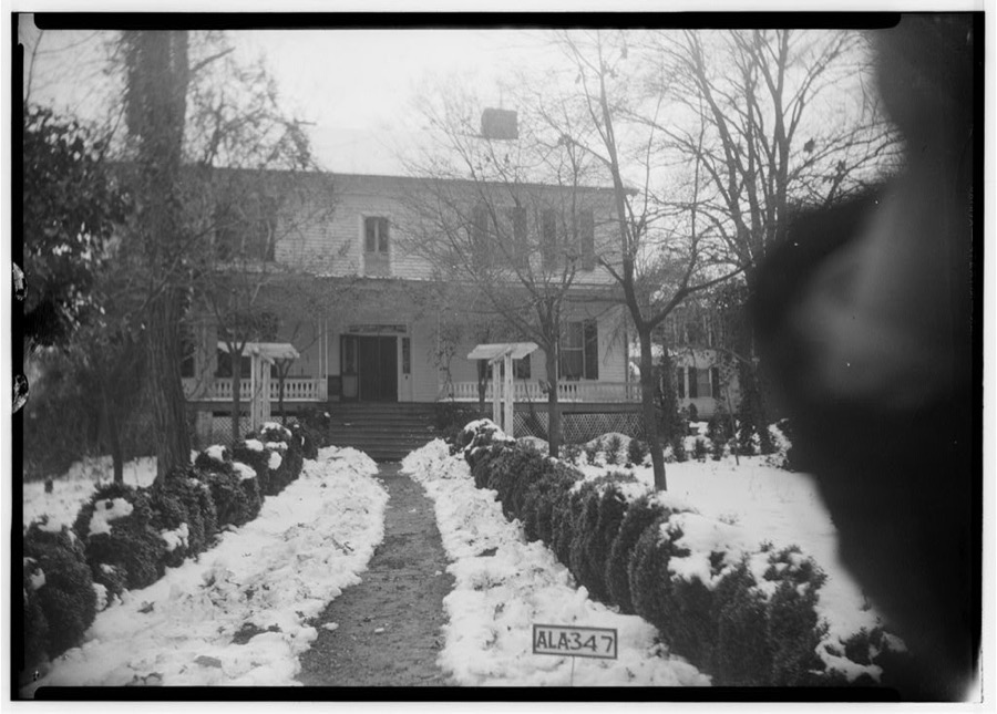
Every property in this county listed on the National Register of Historic Places, with the year it was listed and the federal nomination document.
| Photograph | Property | Type | Listed | Reference |
|---|---|---|---|---|
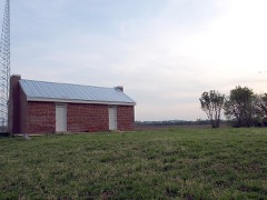 | Boxwood Plantation Slave Quarter | building | 2013 | 13000470 |
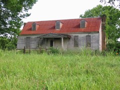 | Bride's Hill | building | 1986 | 86001544 |
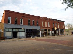 | Courtland Historic District | district | 1991 | 91000597 |
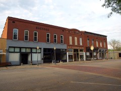 | Courtland Historic District (Boundary Increase) | district | 1998 | 98000710 |
 | Goode-Hall House | building | 1974 | 74000418 |
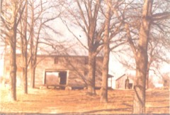 | Thomas Holland House | building | 1991 | 91001478 |
 | Ice House | building | 2000 | 00000712 |
| Dr. Robert Price Irwin House | building | 2025 | 100012394 | |
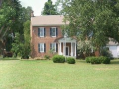 | John McMahon House | building | 1987 | 87001454 |
 | Moulton Courthouse Square Historic District | district | 1998 | 98001026 |
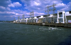 | Wheeler Hydroelectric Project | district | 2016 | 16000431 |
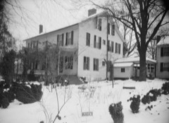 | Joseph Wheeler Plantation | district | 1977 | 77000209 |
Flown by the U.S. Geological Survey between 1937 and 1989, the Aerial Photo Single Frames collection is the definitive mid-century view of the land: fields, roads and rivers as the camera saw them. The Survey holds 215 frames inside the rectangle that bounds this county; the 12 frames below were taken over the county itself, chosen across the decades of flights (at most four a year from that rectangle), so one flight cannot crowd out the rest. The full set is free to browse and download at EarthExplorer under the dataset Aerial Photo Single Frames.












The thermometers that kept this county's weather, and the gages that measured the flow of its streams, as the federal records hold them. The extremes below are measured values from those records, not estimates.
Who lived here in 1950, one enumeration district at a time, as the Census Bureau described each district. Each row opens its official National Archives result, with Population Schedules and ED Maps available there.
Every wildfire the federal occurrence database records inside this county: 871 of them, burning about 16,140 acres. 9 started naturally and 405 were recorded as arson. Each settlement page carries the fires within five miles of it.
| Reported cause | Fires |
|---|---|
| Arson/incendiarism | 405 |
| Debris and open burning | 259 |
| Missing data/not specified/undetermined | 102 |
| Recreation and ceremony | 46 |
| Equipment and vehicle use | 30 |
| Natural | 9 |
| Smoking | 7 |
| Misuse of fire by a minor | 4 |
| Railroad operations and maintenance | 4 |
| Power generation/transmission/distribution | 3 |
| Other causes | 2 |
The five largest, by the area the report gives. Three of them were set deliberately.
| Date | Cause | Size | Reported by | Name on the report |
|---|---|---|---|---|
| 16 October 2015 | Missing data/not specified/undetermined | 2,003 acres | National Forests in Alabama | BIG TREE |
| 12 November 2011 | Missing data/not specified/undetermined | 1,163 acres | Alabama Forestry Commission | CO RD 184, AL |
| 20 February 2011 | Missing data/not specified/undetermined | 1,014 acres | National Forests in Alabama | FORD |
| 22 February 1995 | Debris and open burning | 330 acres | Alabama Forestry Commission | not named |
| 23 March 2019 | Arson/incendiarism | 327 acres | National Forests in Alabama | PINHOOK GAP |
| 15 May 2007 | Equipment and vehicle use | 248 acres | National Forests in Alabama | KEY MILL |
| 31 December 2001 | Arson/incendiarism | 200 acres | Alabama Forestry Commission | not named |
| 23 March 1999 | Arson/incendiarism | 160 acres | Alabama Forestry Commission | not named |
Every settlement page carries the fires within five miles of it - see the settlement index below.
The NOAA Storm Events Database holds 673 reports for this county, causing 35 deaths, 100 injuries and about $46,762,330 in recorded property damage. Each settlement page carries the reports that name it.
| Kind of event | Reports |
|---|---|
| Thunderstorm Wind | 362 |
| Hail | 181 |
| Flash Flood | 51 |
| Tornado | 45 |
| Flood | 13 |
| Lightning | 11 |
| Heavy Rain | 6 |
| Funnel Cloud | 4 |
The most serious of them, by death, then injury, then recorded damage. The accounts are quoted exactly as the forecast office filed them.
| When | Event | Place named | Harm | What the report says |
|---|---|---|---|---|
| April 1974 | Tornado (F5) | not stated | 14 killed, 60 hurt | no account filed |
| April 2011 | Tornado (EF5) | Mt Hope | 14 killed, $40,000,000 | The violent tornado continued to track northeast from Franklin County into Lawrence County as an EF-5 near the Mt. Hope area where significant devastation was incurred to single family homes and a restaurant. Nothing but the foundation and a pile of debris remained in this area, and a small portion of the restaurant foundation buckled. Thousands of hardwood and softwood trees were snapped, with a significant number of trees twisted and debarked with only stubs of branches remaining. Many mobile homes were also destroyed with the frames mangled, and a single family home was completely destroyed with the walls and contents strewn over a hundred yards. Further northeast the damage was slightly less intense, with more trees snapped and twisted as the tornado reached Highway 24. At this location multiple chicken houses were completely destroyed with much of the debris wrapped around debarked trees. TVA high voltage power line trusses were also destroyed at this location. As the tornado continued northeast more significant damage occurred in and around the Langtown community north of Moulton. On the west side of Alabama Highway 33, several homes sustained significant damage with roofs missing or only interior rooms remaining. A nearby store and gas station also sustained significant damage. The tornado strengthened again to a high end EF-4 as it moved over County Roads 214 and 298, where multiple houses and mobile homes were completely destroyed. Several cars were tossed into fields and wrapped around trees along County Road 291 and 292. One vehicle was tossed into a large hardwood tree that was also debarked. Tree and mobile home damage continued along County Roads 217 and 222, where a handful of large high tension TVA power poles were destroyed. Sustained EF-4 damage continued northeast towards Alabama Highway 20, where a restaurant was completely destroyed and two single family houses were significantly damaged. Tree damage continued into extreme northeastern Morgan County. |
| February 2008 | Tornado (EF4) | Leola | 4 killed, 23 hurt | Representatives from the National Weather Service and the Lawrence County Emergency Management Agency conducted a storm survey of damage that occurred in Lawrence County, Alabama early in the morning of February 6, 2008.||The damage was determined to originate from a strong tornado, which at its peak had winds of approximately 170 MPH, giving it a rating of EF-4 on the Enhanced Fujita Scale. Based on reports and an aerial survey conducted by the Lawrence County EMA, the tornado is believed to have originally touched down near the Pinhook community in south-central Lawrence County (just north of the Bankhead National Forest) around 3:02 AM CST. The tornado remained on the ground for approximately 16.7 miles; the first 14 miles of the track occurred in Lawrence County, tracking through the Aldridge Grove, Fairfield, Five Points, Midway, and Caddo communities. The tornado exited Lawrence County about 3 miles south southeast of Caddo around 3:20 AM CST. ||The most significant damage occurred in two main areas. The first occurred just south of the Pinhook community, near the intersection of County Road 92 and 188. The second occurred north of Aldridge Grove near the intersection of County Road 94 and 183, where three fatalities occurred. Numerous homes received significant structural damage, including a 2300 square foot/2-story brick house that was nearly leveled off its foundation. Large trees, with diameters up to 4 feet, were completely snapped, with many uprooted. Fence posts embedded in concrete were ripped out of the ground and vaulted 50 to 100 feet in several different directions. A truck was thrown over a distance of more than 100 yards into an open field. |
| December 2019 | Tornado (EF2) | Rigdom | 2 killed | A team consisting of National Weather Service, Lawrence County Emergency Management, and an Auburn University Structural Engineering survey team determined the damage in northern Lawrence County was attributed to a strong EF-2 tornado.||Damage was first observed along CR 101 north of CR 143. Large-limb tree damage was the primary damage indicator observed in this area, with estimated winds of 107 mph close to touchdown.||East of CR 101, the tornado intensified significantly as it approached CR 265. Approximately 1 mile south of Highway 20, major damage occurred to three structures. Structure damage indicators were a combination of single wide and double wide manufactured homes. It should be noted that one of the structures listed as a double wide was a prefabricated home with no anchor system. The traditional double wide manufactured home included an auger anchor system while the single wide home had a pan anchor system. Regardless of the anchor, each system failed due to intense lifting force, which led to the structure to roll off its plot, causing total destruction. Two fatalities and an injury were reported at the double wide home, with additional injuries at the other destroyed structures.||Thanks to preliminary footage from an Alabama Emergency Management Agency drone team, the tornado was observed to take a slight right turn and continue toward the Courtland area. Along and south of Alabama Highway 20 in Courtland, uprooted and large snapped tree branches were the main damage indicators. A small mobile home was slightly shifted off its plot, denoting mid-range EF-0 winds. The path continued east-northeast and crossed U.S. Highway 72, causing more tree damage on CR 150. Along CR 150, south of CR 400, the strongest damage indicator was a small and well-built block outbuilding. This structure was mostly destroyed, except for a back wall. The tornado continued to weaken as it approached and crossed CR 389. Large tree branches were downed and minor roof damage was observed at three residences. Minor tree damage continued toward the river in the vicinity of CR 400.||The tornado crossed the Tennessee River and laid down again on the Limestone County shore near Brigadoon Drive. |
| July 2016 | Lightning | Hatton | 1 killed | A 20 year old male was struck by lightning at his residence near the Hatton area in Lawrence County. At the time of strike, he was outside viewing the parent storm which was estimated to be approx. 5-10 miles away. As he headed back inside the house, lightning bounced off a few trees and struck him. He was transported to UAB where he later died from his injuries. |
| April 1991 | Tornado (F1) | not stated | 4 hurt | no account filed |
| October 1967 | Tornado (F3) | not stated | 3 hurt, $250,000 | no account filed |
| November 2001 | Tornado (F2) | Five Pts | 2 hurt, $250,000 | no account filed |
| June 1997 | Lightning | Moulton | 2 hurt, $45,000 | Lightning struck near a site where amateur radio operators had assembled to participate in a nationwide activity called Field Day. A thunderstorm that developed nearby produced lightning that apparently struck very close to the site where towers, antennas, a tent, and several campers were set up. The lightning damaged a number of pieces of computer and radio equipment as well as a portable generator. Two people, one in contact with a metal table and one in contact with a metal chair sustained minor burns from the incident. |
| July 2000 | Thunderstorm Wind | Countywide | 1 hurt, $75,000 | Numerous trees and power lines were knocked down throughout the county. Several trees were blown onto homes causing major damage. Dime size hail was reported in a few locations. In Langtown just north of Moulton at 1538 CST, a woman was blown off the front porch of her home. She was subsequently hospitalized with a broken arm. |
| June 2010 | Thunderstorm Wind | Town Creek | 1 hurt, $25,000 | Strong winds downed trees and power lines across many areas in and near the Town Creek community, causing numerous power outages. In addition, thunderstorm winds caused structural damage to a barn on highway 101 near Town Creek. The barn was reported to be leveled to the ground. |
| March 2023 | Thunderstorm Wind | Mt Hope | 1 hurt, $15,000 | Thunderstorm winds knocked down trees and power lines at numerous locations across the county from west-southwest to east-northeast. No less than 15 locations reported trees being knocked down and 4 with power lines down. A minor injury was reported on CR 443 in Hillsboro when a tree fell onto an RV. |
| July 2002 | Lightning | Moulton | 1 hurt | One person was struck by lightning and sustained minor injuries just north of SR 157 near Moulton. |
| August 1986 | Thunderstorm Wind | not stated | 1 hurt | no account filed |
| August 1986 | Thunderstorm Wind | not stated | 1 hurt | no account filed |
| July 2012 | Thunderstorm Wind | Moulton | $2,500,000 | A severe thunderstorm produced a swath of wind damage across Moulton in the form of a macroburst or a large scale microburst. The overall damage area stretched approximately four miles from west to east and 3.3 miles from north to south, covering the city. The majority of the wind damage was identified as snapped softwood and hardwood trees along with damage to power lines. Many trees were noted to be down on homes and businesses across Moulton. Several businesses had windows partially broken out. Pockets of more intense damage was specifically found in an area along highway 157, just north of highway 24. Specifically, the Lawrence county exchange building received significant roof damage and the surrounding grounds had damage to fencing and large items were picked up and thrown some distance. The adjacent building and farm equipment were completely flattened. Across the street, the Lawrence county funeral home had its roof partially ripped off with significant interior damage. In Moulton, the shirt factory building, which was a free standing concrete building along Court street, had its roof completely ripped off along with a partial wall collapse. Several power poles were snapped off near the base, in this area. The store front across the street had its windows completely blown out. Further west along Court street, a gas station sustained roof damage and another building had its garage destroyed. The high school also sustained significant damage, with the gynmasium roof covering being completely removed and other portions of the school having the windows blown out. There was also significant water damage inside of the main classrooms of the school. The final maximum wind rating of the macroburst was based on a combination of the damage to power poles and damage to free standing structures in three separate locations across the city of Moulton, Alabama. |
| May 2008 | Tornado (EF2) | Lemon Hill | $250,000 | A tornado continued its track from Fosters Mill in Colbert County into the far northern tip of Lawrence County. The tornado struck the Doublehead Resort and Lodge producing significant structural damage. A 2-story house was completely lifted off its foundation and moved nearly 20 feet. The entire west-facing side of this house was ripped off along with significant roof damage. |
| November 1988 | Tornado (F3) | not stated | $250,000 | no account filed |
| April 1978 | Tornado (F2) | not stated | $250,000 | no account filed |
| May 1968 | Tornado (F2) | not stated | $250,000 | no account filed |
| April 1958 | Tornado (F2) | not stated | $250,000 | no account filed |
| May 2009 | Tornado (EF1) | Caddo | $200,000 | The tornado touched down in the backyard of a mobile home along CR 327. At this location, a large oak tree fell onto the mobile home splitting it in two where a woman and her young daughter were taking shelter. Numerous trees were uprooted and snapped surrounding the home. The tornado path continued northeast along CR 328 producing significant damage to another mobile home. More than half of the structure was moved off its well secured foundation and the majority of the roof was blown off. A few outbuildings were completely destroyed and vehicles were moved from their original locations in the driveway. Numerous large trees were snapped and uprooted at this location. Peak wind speed was estimated at 105 mph. |
| March 2010 | Lightning | Courtland Airfield | $120,000 | Lightning started a fire in the attic of one of the buidings at the Courtland Village Apartments. This fire quickly spread to all the units while firefighters from the area battled the fire for 2 hours. Tragically, the building was a total loss and eight families were displaced by the fire after the blaze was extinguished. |
| April 1996 | Thunderstorm Wind | Moulton | $65,000 | no account filed |
| April 2014 | Thunderstorm Wind | Avoca | $50,000 | Several chicken houses were leveled and eight trees were snapped near the base by thunderstorm winds. Several homes sustained minor roof damage with shingles being blown away near the intersection of County roads 135 and 136 in the Wolf Springs Alabama community. |
| July 2013 | Flash Flood | Moulton | $50,000 | Numerous roads, between Main Street and Court Street, were closed in Moulton due to heavy rain and high water. Tankersly Avenue and Sparkman Road were covered with high water and barricaded. In addition, several homes along Main Street, Katherine Avenue and Littrell Circle, sustained water damage from high water. |
| March 2010 | Hail | Hillsboro | $50,000 | Golfball size hail was reported 5 miles west of Trinity. |
| June 1994 | Thunderstorm Wind | Mt. Hope | $50,000 | Trees were blown down by thunderstorm wind in western Lawrence County near Mt. Hope. Trees were also reported blown down in the Freeman Acres subdivision located off Alabama 101 in the western part of the county. |
| June 1994 | Thunderstorm Wind | Moulton | $50,000 | Wind snapped trees and damaged several buildings in Moulton during a strong thunderstorm. Over 2,000 power customers were without power in the central sections of Lawrence County. Although most of the damage was reported in and around Moulton, scattered trees were reported down all across the county. |
| June 1998 | Thunderstorm Wind | Countywide | $45,000 | Numerous trees and power lines were down across the county. Most of the trees and power lines downed were from Moulton north. Large trees were blocking at least seven roads, mainly in Courtland, Wheeler, Red Bank and Mallard Creek. |
| May 2011 | Thunderstorm Wind | Hatton | $40,000 | Trees were blown down and widespread power outages were reported in the area. One tree fell onto a mobile home. |
| January 1997 | Tornado (F1) | Moulton | $40,000 | no account filed |
| December 2024 | Thunderstorm Wind | Mt Moriah | $30,000 | A narrow swath of damage occurred between CR 230 and CR 309 near Chalybeate Springs. The damage included a barn and shed being destroyed, several trees being snapped or uprooted and roofing damage. |
| May 2022 | Thunderstorm Wind | Hillsboro | $30,000 | Thunderstorm winds produced roof damage to multiple homes. One roof was blown off and power lines were knocked down in the area. |
| April 2009 | Tornado (EF1) | Wren | $30,000 | An EF-1 tornado caused complete roof loss and significant structural damage to a concrete industrial facility along Highway 157. This facility was located 2 miles southeast of Moulton. Additional damage occurred along CR 99 and 100 between Wren and Moulton, where multiple trees were snapped and uprooted. Estimated peak wind speed with this tornado was 100 mph. |
| October 2009 | Tornado (EF0) | Landersville | $30,000 | An EF-0 tornado tracked east along a 3/4 mile path in central Lawrence County. The tornado collapsed a chicken house which also sustained significant loss of the roof covering along County Road 59. The tornado also partially uplifted the metal roof of a mobile home along County Road 58. Several surrounding large trees were uprooted or snapped. |
| January 1999 | Lightning | Moulton | $30,000 | Two people were killed when lightning struck a mobile home and it burned to the ground. |
| March 2015 | Lightning | Moulton | $25,000 | Lightning struck a 100 foot tower at the Lawrence county, Alabama emergency management/911 facility. EMA officials reported that there was damage to the tornado early warning system and 911 phone lines. |
| March 2013 | Thunderstorm Wind | Moulton | $25,000 | Thunderstorm winds destroyed a wood storage building and two car metal garages at the intersection of county Roads 244 and 157. |
| April 2006 | Tornado (F1) | Speake | $25,000 | A tornado touched down and demolished a large barn and uprooted several trees near highway 157 in a continuous path toward the Morgan county line. |
| January 1999 | Flash Flood | Moulton | $25,000 | Several homes in Moulton had to be evacuated due to high water. |
| January 1998 | Flash Flood | Countywide | $25,000 | no account filed |
| March 1996 | Hail | Hatton | $25,000 | no account filed |
| March 1996 | Flash Flood | Terrytown | $25,000 | no account filed |
| April 1958 | Tornado (F2) | not stated | $25,000 | no account filed |
| May 2023 | Thunderstorm Wind | Sherrod Quarters | $20,000 | Power poles were snapped and at least 12 were blown down from a possible microburst. Several trees were blown down in the same area. |
| May 2022 | Thunderstorm Wind | Caddo | $20,000 | Ten to twelve trees were reported down from CR 434 east about 2 miles to CR 214. |
| March 2013 | Thunderstorm Wind | Courtland | $20,000 | Thunderstorm winds snapped and knocked down six large wooden power poles. |
| March 2013 | Thunderstorm Wind | Moulton | $20,000 | Numerous trees blown down by thunderstorm winds and blocking Highway 33. |
| January 2012 | Thunderstorm Wind | Fish Pond | $20,000 | A brand new barn experienced significant damage due to thunderstorm winds. A large portion of the roof collapsed. |
| November 2006 | Thunderstorm Wind | Pool | $20,000 | A barn was completely destroyed by sustained winds of at least 60 mph. |
| February 2000 | Thunderstorm Wind | Countywide | $20,000 | Several trees were blown down throughout the county. |
| April 2009 | Tornado (EF0) | Mt Hope | $18,000 | Several trees were snapped and uprooted between CR 23 and CR 25 south of Mount Hope. In addition, two homes sustained minor roof damage/shingle loss. Estimated path length was approximately 1.3 miles with a path width of 75 feet. Estimated peak wind speed was 80 mph. |
| January 1999 | Flash Flood | Countywide | $18,000 | Flooding of roads and creeks were reported throughout Lawrence County. |
| February 2025 | Thunderstorm Wind | Avoca | $15,000 | A pole barn was destroyed and trees were knocked down along CR 129 at CR 131. |
| June 2025 | Thunderstorm Wind | Caddo | $15,000 | Multiple large trees were knocked down or uprooted at 3259 County Road 316. One of the trees landed on a parked camper. Time estimated by radar. |
| March 2013 | Thunderstorm Wind | Town Creek | $15,000 | A couple of trees were downed by thunderstorm winds and fell onto a mobile home on County Road 265 in Town Creek, Alabama. |
| September 2012 | Thunderstorm Wind | Moulton | $15,000 | A few trees were downed by thunderstorm winds onto highway 33 in Bankhead National Forest, about 12 miles south of Moulton. |
| May 2011 | Thunderstorm Wind | Beavers Cross | $15,000 | A walnut tree was uprooted. Several trees were blown down on CR 449. A roof blown off chicken houses and damage occurred to at least one house along the road. |
| June 2010 | Thunderstorm Wind | Caddo | $15,000 | Several trees were blown down on CR 327 and 434 near Caddo. Additional trees were blown down on CR 316 near these locations. Several tree limbs were also blown down in the Caddo area. |
The Survey's mineral resources record lists 1 working inside this county. It still produces. Each settlement page carries the workings within five miles of it.
| Commodity | Workings |
|---|---|
| Stone, Crushed/Broken | 1 |
The least common of them first, because a county's hundredth gravel pit says nothing its first ten did not.
| Where | Site | Commodity | Status | Recorded |
|---|---|---|---|---|
| Moulton Quarry | Stone, Crushed/Broken | Producer |
Named settlements recorded in the Geographic Names Information System, each with the topographic sheets covering it. Villages, hamlets and abandoned places alike. Each is shown with the nearest named watercourse or landform and the survey quadrangle it falls on.
Moulton census division · 35650 · On Pinhook Branch · Oakville quadrangle
17 sheets, 1935 to 2000
Hatton census division · 35654 · On Masterson Creek · Old Bethel quadrangle
19 sheets, 1924 to 1986
No longer a settlement
Hillsboro census division · 35618 · On Red Branch · Hillsboro quadrangle
15 sheets, 1936 to 1986
Mount Hope census division · 35651 · On Stinson Branch · Landersville quadrangle
18 sheets, 1936 to 2000
No longer a settlement
Morris Chapel census division · 35643 · Near Long Hollow · Caddo quadrangle
14 sheets, 1936 to 1986
Hatton census division · 35651 · On Privet Branch · Hatton quadrangle
15 sheets, 1936 to 1986
Town Creek-Courtland census division · 35618 · On Schoolhouse Branch · Courtland quadrangle
14 sheets, 1936 to 1986
Town Creek-Courtland census division · 35618 · On Schoolhouse Branch · Courtland quadrangle
14 sheets, 1936 to 1986
Hatton census division · 35672 · Near Jeffreys Mountain · Town Creek quadrangle
15 sheets, 1936 to 1986
Morris Chapel census division · 35650 · On Tacky Branch · Oakville quadrangle
17 sheets, 1935 to 2000
Hillsboro census division · 35643 · On Dry Branch · Hillsboro quadrangle
15 sheets, 1936 to 1986
Town Creek-Courtland census division · 35672 · On Big Nance Creek · Wheeler Dam quadrangle
17 sheets, 1914 to 1986
Morris Chapel census division · 35650 · On Oakville Pond Branch · Oakville quadrangle
17 sheets, 1935 to 2000
Hatton census division · 35651 · On Pool Creek · Hatton quadrangle
15 sheets, 1936 to 1986
Hillsboro census division · 35643 · On Mallard Creek · Hillsboro quadrangle
15 sheets, 1936 to 1986
Town Creek-Courtland census division · 35672 · Near Tick Island (historical) · Rogersville quadrangle
17 sheets, 1914 to 1986
Moulton census division · 35650 · On Naughan Creek · Caddo quadrangle
14 sheets, 1936 to 1986
Moulton census division · 35650 · On Montgomery Creek · Grayson quadrangle
17 sheets, 1936 to 2000
Mount Hope census division · 35651 · On Stinson Branch · Landersville quadrangle
18 sheets, 1936 to 2000
Hillsboro census division · 35643 · On Prairie Creek · Hillsboro quadrangle
15 sheets, 1936 to 1986
Hillsboro census division · 35643 · On Wheeler Branch · Hillsboro quadrangle
15 sheets, 1936 to 1986
Speake-Oakville census division · 35619 · On Stover Branch · Oakville quadrangle
17 sheets, 1935 to 2000
Mount Hope census division · 35565 · On Whitman Creek · Kinlock Spring quadrangle
12 sheets, 1936 to 2000
No longer a settlement
Speake-Oakville census division · 35619 · On Flat Creek · Oakville quadrangle
17 sheets, 1935 to 2000
Hillsboro census division · 35643 · On Mallard Creek · Hillsboro quadrangle
15 sheets, 1936 to 1986
Town Creek-Courtland census division · 35672 · On Meadow Branch · Town Creek quadrangle
15 sheets, 1936 to 1986
Hatton census division · 35650 · Near Sinking Creek Hill · Masterson Mill quadrangle
13 sheets, 1936 to 1986
Morris Chapel census division · 35650 · On Sinking Creek · Masterson Mill quadrangle
13 sheets, 1936 to 1986
Hatton census division · 35672 · On Bear Branch · Masterson Mill quadrangle
13 sheets, 1936 to 1986
Hillsboro census division · 35643 · On Prairie Creek · Hillsboro quadrangle
15 sheets, 1936 to 1986
Moulton census division · 35650 · On Eddy Creek · Masterson Mill quadrangle
13 sheets, 1936 to 1986
Morris Chapel census division · 35673 · On Rocky Branch · Caddo quadrangle
14 sheets, 1936 to 1986
Moulton census division · 35650 · On Almon Branch · Moulton quadrangle
18 sheets, 1935 to 2000
Mount Hope census division · 35651 · On Rock Springs Branch · Landersville quadrangle
18 sheets, 1936 to 2000
Hatton census division · 35650 · Near Stickmeyer Mountain · Masterson Mill quadrangle
13 sheets, 1936 to 1986
Morris Chapel census division · 35650 · Near Long Hollow · Masterson Mill quadrangle
13 sheets, 1936 to 1986
Moulton census division · 35650 · On Sledge Creek · Moulton quadrangle
18 sheets, 1935 to 2000
Hatton census division · 35672 · Near Shaver Hollow · Hatton quadrangle
15 sheets, 1936 to 1986
Mount Hope census division · 35651 · On Rock Springs Branch · Landersville quadrangle
18 sheets, 1936 to 2000
Town Creek-Courtland census division · 35618 · On Schoolhouse Branch · Courtland quadrangle
14 sheets, 1936 to 1986
Speake-Oakville census division · 35619 · On Oakville Pond Branch · Oakville quadrangle
17 sheets, 1935 to 2000
Moulton census division · 35650 · On Pinhook Mountain · Moulton quadrangle
18 sheets, 1935 to 2000
Morris Chapel census division · 35673 · On West Shoals Creek · Caddo quadrangle
14 sheets, 1936 to 1986
Town Creek-Courtland census division · 35672 · On Goode Branch · Rogersville quadrangle
17 sheets, 1914 to 1986
Town Creek-Courtland census division · 35672 · Near Brooks Spring Mountain · Courtland quadrangle
14 sheets, 1936 to 1986
Town Creek-Courtland census division · 35618 · Courtland quadrangle
14 sheets, 1936 to 1986
Town Creek-Courtland census division · 35672 · Courtland quadrangle
14 sheets, 1936 to 1986
No longer a settlement
Speake-Oakville census division · 35619 · On Stover Branch · Oakville quadrangle
17 sheets, 1935 to 2000
Town Creek-Courtland census division · 35618 · On Schoolhouse Branch · Courtland quadrangle
14 sheets, 1936 to 1986
Town Creek-Courtland census division · 35618 · On Crooked Creek · Masterson Mill quadrangle
13 sheets, 1936 to 1986
Town Creek-Courtland census division · 35672 · Town Creek quadrangle
15 sheets, 1936 to 1986
Hillsboro census division · 35618 · On Red Branch · Hillsboro quadrangle
15 sheets, 1936 to 1986
Town Creek-Courtland census division · 35672 · Near Tick Island (historical) · Rogersville quadrangle
17 sheets, 1914 to 1986
Town Creek-Courtland census division · 35672 · On Big Nance Creek · Wheeler Dam quadrangle
17 sheets, 1914 to 1986
Hatton census division · 35672 · Near Indian Hill · Hatton quadrangle
15 sheets, 1936 to 1986
Mount Hope census division · 35650 · Near Morgan Hollow · Landersville quadrangle
18 sheets, 1936 to 2000
The vanished settlements of Lawrence County: the places named above that are no longer on the map.
The complete index, with nothing left out. Each of these is a separate record with its own page: a federal survey report, or the case file that argued a property on to the National Register. Both are public domain and reproduced word for word.
The vanished settlements of Lawrence County, the places these records name that are no longer on the map.