 Block
Central Village, Connecticut
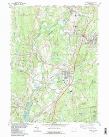
32 topographic sheets cover this place, the earliest surveyed in 1889 and the latest in 1984. It stands in Plainfield town. It lies in ZIP code area 06332. It stands on Angell Brook. The Survey maps it on the Plainfield quadrangle.
On record in Central Village
Buildings and businesses the archive holds for this place. Each opens its own page, with the source record it came from.
On the National Register within a mile 2 records
The National Register names another town for these. They stand within one mile of this settlement's coordinate.
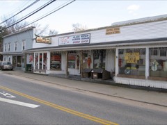 Central Village Historic Districtlisted 1991 · 0.1 miles away
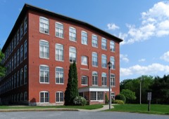 Plainfield Woolen Company Milllisted 1985 · 0.2 miles away
Topographic sheets covering this place
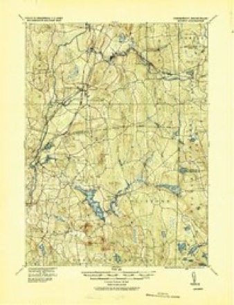
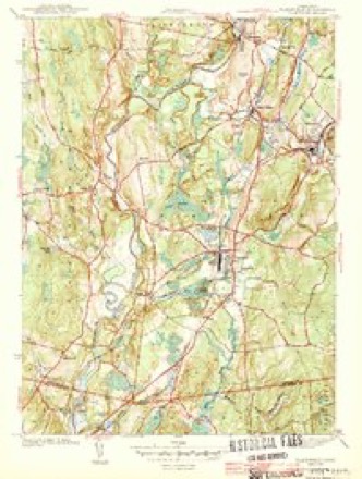
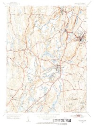
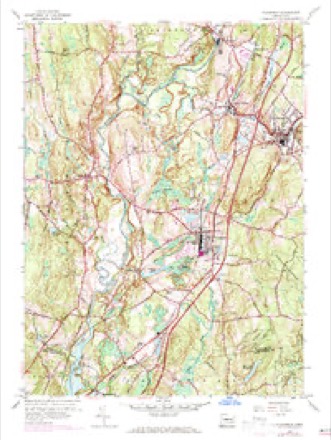
14 surveys from 32 printed sheetsMatched by testing this settlement's coordinate against the published boundary of every sheet in the United States Geological Survey's historical collection. Each opens the scanned sheet at the Survey.
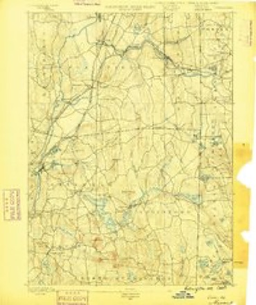
- 1889 USGS Moosup quadrangle1:62500
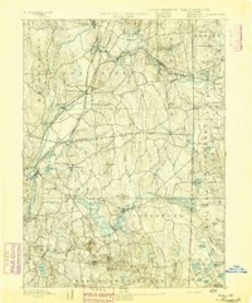
- 1893 USGS Moosup quadrangle1:62500, 7 printings
- 1920 USGS Moosup quadrangle1:62500
- 1943 USGS Plainfield quadrangle1:31680, 3 printings
- 1943 USGS Putnam quadrangle1:125000
- 1947 USGS Providence quadrangle1:250000, 5 printings
- 1948 USGS Providence quadrangle1:250000
- 1953 USGS Plainfield quadrangle1:31680, 2 printings
- 1953 USGS Plainfield quadrangle1:24000, 4 printings
- 1957 USGS Providence quadrangle1:250000
- 1958 USGS Providence quadrangle1:250000
- 1963 USGS Providence quadrangle1:250000
- 1983 USGS Plainfield quadrangle1:24000, 3 printings
- 1984 USGS Providence quadrangle1:100000







In the county-history sources
31,302 words on this townshipHistory of Windham County, Connecticut .., published 1889 names this settlement in its chapter on Plainfield Town. These are the passages that mention it, exactly as the scans read.
The Indian war of 1704 subjected Plainfield to new restrictions and outlays. With other frontier towns, it was not to be deserted by any of its inhabitants ; guard houses and scouts were to be maintained, equipped, and supplied with ammunition ; a train band was formed, with Thomas Williams for ensign and Samuel Howe for sergeant. Guards were stationed about the meeting house on Sunday, and watch houses were maintained in exposed parts of the town. Great pains were taken to propitiate the favor of the Quinebaugs, who continued as ever peaceable and friendly.
Passage source: History of Windham County, Connecticut .., published 1889.
In the midst of all these distracting conditions the town looked -well to the progress of ecclesiastical matters. The interior of the meeting house was completed, and the pulpit placed on the south side of the room. Mr. Coit accepted the pastorate and was ordained early in January, 1705, at which time a church was organized consisting of ten male members. Its first deacons were Jacob Warren and William Douglas. The history of the church will be reviewed by itself further on, consequently notice of its progress will be omitted in this connection. We shall notice now the general progress of the town and its settlement and growth .
Passage source: History of Windham County, Connecticut .., published 1889.
A terrible hurricane, which has ever since been known as " the September Gale," swept over this part of the country with great violence, damaging and destroying many buildings and uprooting fruit and forest trees. It is said that spray from the ocean, thirty miles away, was dashed upon the houses here like sheets of rain before the blast. This occurred in September, 181.'). The meeting house of this church was demolished by the tempest. In 1816 the present stone church was erected, the design of its projectors evidently being to raise a structure that would not be so easily thrown down. The house was at first furnished with galleries on three sides, but in 1851 these were removed and the rooms for church services arranged as they are at the present time, with a large audience room above and a vestry below.
Passage source: History of Windham County, Connecticut .., published 1889.
Machine-read from a century-old scan, so expect the errors a machine makes: misspelled names, dropped words, stray characters.
Read the whole chapter on Plainfield Town - it names this place 12 more 12 times.
Fires near this place
176 since 1994Regional context, not property-specific evidence. The federal wildfire occurrence database lists 176 fires within 5 miles of Central Village between 1994 and 2020, burning about 181 acres in total. 1 started naturally. 8 were recorded as arson. Distance is straight-line from the map coordinates, so a fire counted here may appear on a neighbouring settlement's page as well.
| Reported cause | Fires |
|---|---|
| Missing data/not specified/undetermined | 120 |
| Recreation and ceremony | 13 |
| Debris and open burning | 12 |
| Misuse of fire by a minor | 9 |
| Arson/incendiarism | 8 |
| Smoking | 7 |
| Equipment and vehicle use | 3 |
| Power generation/transmission/distribution | 2 |
| Natural | 1 |
| Railroad operations and maintenance | 1 |
The most recent of them, most recent first, with the day each was reported and the service that recorded it.
| Date | Cause | Size | Reported by | Name on the report |
|---|---|---|---|---|
| 28 September 2011 | Missing data/not specified/undetermined | under an acre | Connecticut Division of Forestry | PLAINFIELD |
| 16 September 2020 | Recreation and ceremony | under an acre | Connecticut Division of Forestry | ALAN HILL ROAD* |
| 8 August 2016 | Missing data/not specified/undetermined | under an acre | Connecticut Division of Forestry | 229 S CANTERBURY RD, CANTERBURY CT |
| 6 August 2020 | Power generation/transmission/distribution | 2.0 acres | Connecticut Division of Forestry | not named |
| 5 August 2020 | Missing data/not specified/undetermined | 1.0 acres | Connecticut Division of Forestry | 289 STERLING ROAD |
| 2 August 2020 | Missing data/not specified/undetermined | under an acre | Connecticut Division of Forestry | OLD FURNACE STATE PARK |
| 2 August 2020 | Missing data/not specified/undetermined | under an acre | Connecticut Division of Forestry | 81 ROSS ROAD |
| 10 August 2020 | Debris and open burning | under an acre | Connecticut Division of Forestry | 6 FINN ROAD |
Settlements close enough to share some of these fires:
Mines and quarries near this place
10 of 14 shownRegional context, not property-specific evidence. The federal mineral resources record lists 14 workings within 5 miles of Central Village: 9 past producers, 4 producers, 1 unknown. 4 still produce. What was taken out: Sand and Gravel, Construction, Granite, Stone, Crushed/Broken, Flagstone. Distance is straight-line from the map coordinates, so a quarry counted here may appear on a neighbouring settlement's page as well.
| Where | Site | Commodity | Status | Recorded |
|---|---|---|---|---|
| Strouse Brothers Quarry | Flagstone | Past Producer | ||
| Strouse Brothers Quarry | Stone, Crushed/Broken | Past Producer | Sedimentary | |
| Wauregan Pit and Quarry | Stone, Crushed/Broken, Sand and Gravel, Construction | Producer | ||
| Bennett Quarries | Granite | Past Producer | ||
| Danielson Mine | Sand and Gravel, Construction | Producer | ||
| Danielson Pit | Sand and Gravel, Construction | Unknown | ||
| Granite Quarries | Granite | Past Producer | ||
| Granite Quarries | Granite | Past Producer | ||
| Granite Quarry | Granite | Past Producer | ||
| Route 205 Pit | Sand and Gravel, Construction | Producer |
Nearest settlements
The eight closest, with where each one stands in the county. Distances are straight-line, computed from the Geographic Names Information System coordinates.
| Map | Place | Distance | Sheets |
|---|---|---|---|
| Wauregan Station | 1.4 miles | 32 | |
| Wauregan | 1.5 miles | 32 | |
| Moosup | 1.5 miles | 32 | |
| West Wauregan | 1.8 miles | 32 | |
| Almyville | 2.2 miles | 28 | |
| Plainfield | 3.2 miles | 32 | |
| Canterbury | 3.8 miles | 32 | |
| Sterling | 4.3 miles | 28 |
Elsewhere
Matched on this settlement's Geographic Names Information System number rather than its name, so it cannot be a different place of the same name in another state.
| Wikipedia article on Central Village | An encyclopaedic summary. Its text is share-alike, so it is linked here rather than copied. |
| Wikidata item Q5062000 | The structured record the population and elevation above come from. Public domain (CC0). |
Provenance
This settlement is recorded in the Geographic Names Information System as feature 206156. The sheet list is computed by point-in-boundary test against the United States Geological Survey's historical topographic inventory. Both are works of the United States government and carry no copyright under 17 U.S.C. 105.
Wildfire. Short, Karen C. 2022. Spatial wildfire occurrence data for the United States, 1992-2020 [FPA_FOD_20221014]. 6th Edition. Fort Collins, CO: Forest Service Research Data Archive. https://doi.org/10.2737/RDS-2013-0009.6 Collected with United States Government funding and usable without additional permissions or fees.
Mines and quarries. USGS Mineral Resources Data System (MRDS) https://mrdata.usgs.gov/mrds/ A work of the United States government, no copyright under 17 U.S.C. 105.