 Block
Plainfield, Connecticut
32 topographic sheets cover this place, the earliest surveyed in 1889 and the latest in 1984. It stands in Plainfield town. It lies in ZIP code area 06374. It stands on Horse Brook. The Survey maps it on the Plainfield quadrangle.
On record in Plainfield
Buildings and businesses the archive holds for this place. Each opens its own page, with the source record it came from.
On the National Register 11 records
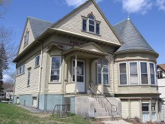 Aldrich Free Public Librarylisted 1994
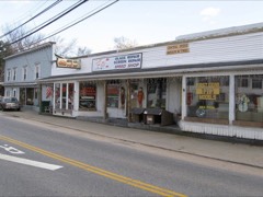 Central Village Historic Districtlisted 1991
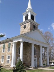 First Congregational Church of Plainfieldlisted 1986
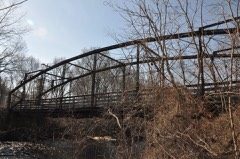 Glen Falls Bridgelisted 1999
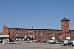 Lawton Mills Historic Districtlisted 1996
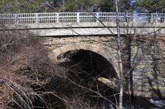 Packerville Bridgelisted 1992
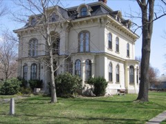 Plainfield Street Historic Districtlisted 1991
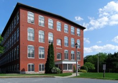 Plainfield Woolen Company Milllisted 1985
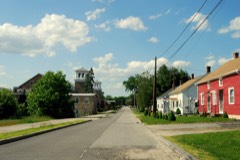 Wauregan Historic Districtlisted 1979
- March Route of Rochambeau's Army: Old Canterbury Roadlisted 2003
- March Route of Rochambeau's Army: Plainfield Pikelisted 2003
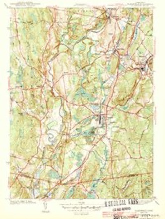
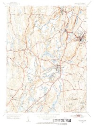
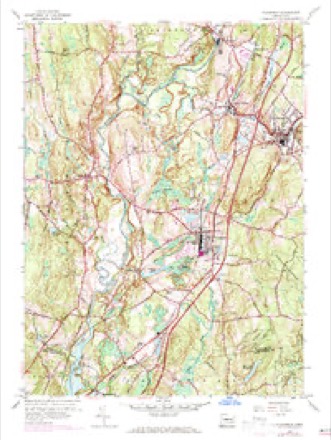
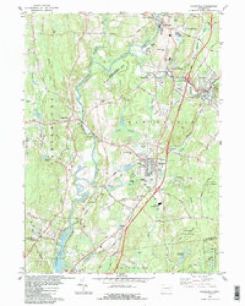
Topographic sheets covering this place
14 surveys from 32 printed sheetsMatched by testing this settlement's coordinate against the published boundary of every sheet in the United States Geological Survey's historical collection. Each opens the scanned sheet at the Survey.
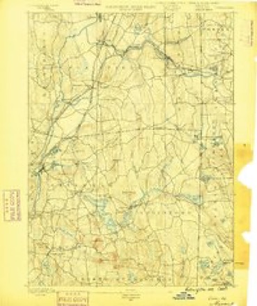
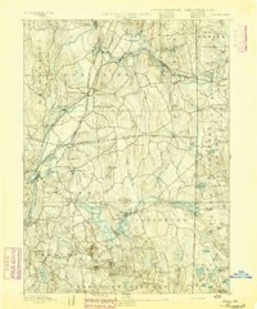
- 1889 USGS Moosup quadrangle1:62500
- 1893 USGS Moosup quadrangle1:62500, 7 printings
- 1920 USGS Moosup quadrangle1:62500
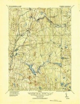
- 1943 USGS Plainfield quadrangle1:31680, 3 printings
- 1943 USGS Putnam quadrangle1:125000
- 1947 USGS Providence quadrangle1:250000, 5 printings
- 1948 USGS Providence quadrangle1:250000
- 1953 USGS Plainfield quadrangle1:31680, 2 printings
- 1953 USGS Plainfield quadrangle1:24000, 4 printings
- 1957 USGS Providence quadrangle1:250000
- 1958 USGS Providence quadrangle1:250000
- 1963 USGS Providence quadrangle1:250000
- 1983 USGS Plainfield quadrangle1:24000, 3 printings
- 1984 USGS Providence quadrangle1:100000







In the county-history sources
31,302 words on this townshipHistory of Windham County, Connecticut .., published 1889 names this settlement in its chapter on Plainfield Town. These are the passages that mention it, exactly as the scans read.
THE township of Plainfield lies in the southeastern part of the county, adjoining Griswold and Voluntown in the county of New London. It is about nine miles long from north to south and four to five miles wide. It has Canterbury on the west, also Brooklyn on the northwest, Killingly on the north, and Sterling on the east. The Quinebaug river forms, most of the way, the western boundary, and receives from this town the waters of branches, the Moosup and Mill rivers, which afford sites for a number of manufacturing establishments. The town is traversed by about twenty miles of railroad, the Norwich & Worcester line running through it lengthwise, and the Providence Division of the New York & New England railroad running diagonally across it. Beautiful fertile plains stretching northeast and southwest between the rugged hills, early attracted the attention of settlers andland speculators, and these fertile plains gave name to the locality and to the town. Some attention is given to agriculture, but the great industrial interest of the town is manufacturing. Several factory villages have grown up within its borders.
Passage source: History of Windham County, Connecticut .., published 1889.
The territory of this town was a part of the Quinebaug country, the purchase of which from the Indians and something of its settlement having been already given in another chapter will not be repeated here. In October, 1697, the general court ordered that the people inhabiting along the Quinebaug should be a part of New London county. The settlers on the east side of the river at the time of the town charter in 1699 were Isaac Shepard, Richard Pellet, Benjamin Rood, John Fellows, Samuel Shepard, John Spalding, Edward Spalding, James Kingsbury, Thomas Pierce, Thomas Harris, Matthias Button, Joseph Spalding, Jacob Warren, Nathaniel Jewell and Timothy Pierce. The area covered by the charter was " ten miles east and west and eight miles north and south, abutting southerly on Preston and Norwich bounds and westerly on Windham bounds, provided it doth not prejudice any former grant of townships." The charter granted the "powers and privileges of a township, provided it doth not prejudice any particular person's property."
Passage source: History of Windham County, Connecticut .., published 1889.
The inhabitants of the Quinebaug plantation met to organize town government May 31st, 1699. Officers were chosen as follows : James Deane, town clerk ; Jacob Warren, Joseph Spalding, Stephen Hall, William Johnson, Samuel Adams, selectmen ; John Fellows, constable ; Thomas Williams, surveyor. After electing town officers, the first vote was " To give the Rev. Mr. Coit a call for one quarter of a year for ten pounds." The invitation was accepted, and services were held during the summer, alternating between the east and west sides of the Quinebaug. The minister saw a lack of unity in the people, many of the settlers having little regard for religious matters, and refused to settle as pastor, but was retained as supply from quarter to quarter for some time.
Passage source: History of Windham County, Connecticut .., published 1889.
Machine-read from a century-old scan, so expect the errors a machine makes: misspelled names, dropped words, stray characters.
Read the whole chapter on Plainfield Town - it names this place 66 more 66 times.
Fires near this place
164 since 1994Regional context, not property-specific evidence. The federal wildfire occurrence database lists 164 fires within 5 miles of Plainfield between 1994 and 2020, burning about 182 acres in total. 1 started naturally. 8 were recorded as arson. Distance is straight-line from the map coordinates, so a fire counted here may appear on a neighbouring settlement's page as well.
| Reported cause | Fires |
|---|---|
| Missing data/not specified/undetermined | 109 |
| Debris and open burning | 13 |
| Recreation and ceremony | 10 |
| Misuse of fire by a minor | 9 |
| Arson/incendiarism | 8 |
| Smoking | 7 |
| Equipment and vehicle use | 4 |
| Power generation/transmission/distribution | 2 |
| Natural | 1 |
| Railroad operations and maintenance | 1 |
The most recent of them, most recent first, with the day each was reported and the service that recorded it.
| Date | Cause | Size | Reported by | Name on the report |
|---|---|---|---|---|
| 28 September 2011 | Missing data/not specified/undetermined | under an acre | Connecticut Division of Forestry | PLAINFIELD |
| 8 August 2016 | Missing data/not specified/undetermined | under an acre | Connecticut Division of Forestry | 229 S CANTERBURY RD, CANTERBURY CT |
| 6 August 2020 | Power generation/transmission/distribution | 2.0 acres | Connecticut Division of Forestry | not named |
| 5 August 2020 | Missing data/not specified/undetermined | 1.0 acres | Connecticut Division of Forestry | 289 STERLING ROAD |
| 10 August 2020 | Debris and open burning | under an acre | Connecticut Division of Forestry | 6 FINN ROAD |
| 4 July 2016 | Missing data/not specified/undetermined | under an acre | Connecticut Division of Forestry | PORTER POND RD / PLAINFIELD PIKE, STERLING |
| 4 July 1997 | Equipment and vehicle use | 2.0 acres | Connecticut Division of Forestry | not named |
| 25 July 2016 | Missing data/not specified/undetermined | under an acre | Connecticut Division of Forestry | RAILROAD AVE / PACKERVILLE RD, PLAINFIELD |
Settlements close enough to share some of these fires:
Mines and quarries near this place
10 within 5 milesRegional context, not property-specific evidence. The federal mineral resources record lists 10 workings within 5 miles of Plainfield: 7 past producers, 3 producers. 3 still produce. What was taken out: Sand and Gravel, Construction, Granite. Distance is straight-line from the map coordinates, so a quarry counted here may appear on a neighbouring settlement's page as well.
| Where | Site | Commodity | Status | Recorded |
|---|---|---|---|---|
| Granite Quarries | Granite | Past Producer | ||
| Arpin Pit | Sand and Gravel, Construction | Past Producer | Sedimentary | |
| Arpin Pit | Sand and Gravel, Construction | Producer | ||
| Canterbury Pit | Sand and Gravel, Construction | Past Producer | Sedimentary | |
| Canterbury Pit | Sand and Gravel, Construction | Past Producer | ||
| Miller Pit | Sand and Gravel, Construction | Past Producer | Sedimentary | |
| Miller Pit | Sand and Gravel, Construction | Past Producer | ||
| Route 205 Pit | Sand and Gravel, Construction | Producer | ||
| Waskiewicz Pit | Sand and Gravel, Construction | Past Producer | Sedimentary | |
| Waskiewicz Pit | Sand and Gravel, Construction | Producer |
Storms near this place
10 since 1995Regional context, not property-specific evidence. The National Weather Service names Plainfield in 10 storm reports between 1995 and 2024: 6 thunderstorm wind, 2 lightning, 2 hail. No death or injury is recorded in these reports. Each account below is quoted exactly as the forecast office filed it, from the NOAA Storm Events Database, and each date opens the federal record of that event.
| When | Event | Place named | Harm | What the report says |
|---|---|---|---|---|
| June 2010 | Thunderstorm Wind | Plainfield | $15,000 | Trees on Major Drive, Forest Street, and Gendron Road were downed by thunderstorm winds. |
| May 2018 | Thunderstorm Wind | Plainfield | $5,000 | At 4:55 PM EST trees were reported blocking Greene Avenue at the intersection with Butterworth Avenue in Plainfield. |
| May 2010 | Thunderstorm Wind | Plainfield | $5,000 | Two trees on Lake Street were downed by thunderstorm winds. |
| July 2017 | Lightning | Plainfield | $4,000 | At 550 PM EST, an amateur radio operator reported trees down due to lightning on Packerville Road in Plainfield. Wires were also brought down on a car on Packerville Road. |
| June 2024 | Thunderstorm Wind | Plainfield | $2,000 | In Plainfield, trees, wires, and transformers were downed on a few roads. |
| July 2006 | Hail | Plainfield | - | no account filed |
| July 2004 | Hail | Plainfield | - | no account filed |
| August 2001 | Thunderstorm Wind | Plainfield | - | no account filed |
| July 1999 | Lightning | Plainfield | - | no account filed |
| August 1995 | Thunderstorm Wind | Plainfield | - | no account filed |
Nearest settlements
The eight closest, with where each one stands in the county. Distances are straight-line, computed from the Geographic Names Information System coordinates.
| Map | Place | Distance | Sheets |
|---|---|---|---|
| Packer | 2.1 miles | 32 | |
| Moosup | 3.1 miles | 32 | |
| Central Village | 3.2 miles | 32 | |
| Canterbury | 3.3 miles | 32 | |
| Almyville | 3.9 miles | 28 | |
| Ekonk | 4.2 miles | 28 | |
| Wauregan Station | 4.6 miles | 32 | |
| Wauregan | 4.7 miles | 32 |
Provenance
This settlement is recorded in the Geographic Names Information System as feature 209831. The sheet list is computed by point-in-boundary test against the United States Geological Survey's historical topographic inventory. Both are works of the United States government and carry no copyright under 17 U.S.C. 105.
Wildfire. Short, Karen C. 2022. Spatial wildfire occurrence data for the United States, 1992-2020 [FPA_FOD_20221014]. 6th Edition. Fort Collins, CO: Forest Service Research Data Archive. https://doi.org/10.2737/RDS-2013-0009.6 Collected with United States Government funding and usable without additional permissions or fees.
Mines and quarries. USGS Mineral Resources Data System (MRDS) https://mrdata.usgs.gov/mrds/ A work of the United States government, no copyright under 17 U.S.C. 105.
Storms. NOAA National Centers for Environmental Information, Storm Events Database https://www.ncei.noaa.gov/stormevents/ A work of the United States government, no copyright under 17 U.S.C. 105. Narratives are quoted verbatim from the National Weather Service report and are not edited or summarised.