 Block
Wauregan, Connecticut
32 topographic sheets cover this place, the earliest surveyed in 1889 and the latest in 1984. It stands in Plainfield town. It lies in ZIP code area 06387. It lies near Shepherd Hill. The Survey maps it on the Plainfield quadrangle. 1,539 people lived here at the 2020 count. It stands 187 feet above sea level.
On record in Wauregan
Buildings and businesses the archive holds for this place. Each opens its own page, with the source record it came from.
On the National Register within a mile 1 record
The National Register names another town for these. They stand within one mile of this settlement's coordinate.
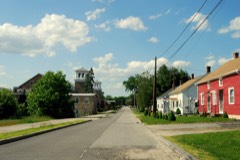 Wauregan Historic Districtlisted 1979 · 0.0 miles away
Population over time
2 figuresWauregan grew from 1,205 to 1,539 between 2010 and 2020. These are the recorded population figures Wikidata holds for this place, reached through the Geographic Names Information System number this page is keyed on rather than by name, so they belong to this place and not to another of the same name. Most are census counts, but not all are: an early figure may be a founding or settlement estimate, and an estimate published within five years of a census is left out. The change column is computed, and is left blank where more than 20 years separate a figure from the one before it, because a gap that long is not a change between two counts.
| Year | People | Change |
|---|---|---|
| 2010 | 1,205 | |
| 2020 | 1,539 | +334 (+28%) |
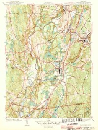
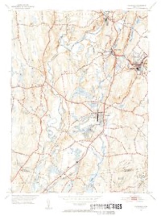
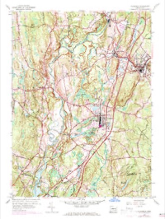
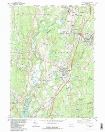
Topographic sheets covering this place
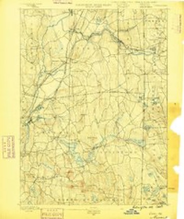
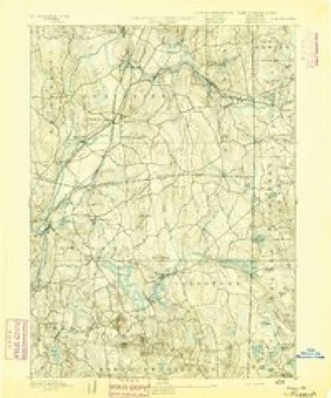
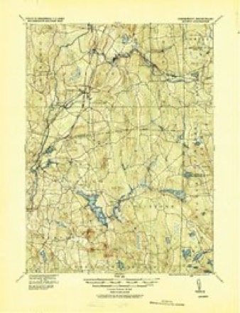
14 surveys from 32 printed sheetsMatched by testing this settlement's coordinate against the published boundary of every sheet in the United States Geological Survey's historical collection. Each opens the scanned sheet at the Survey.
- 1889 USGS Moosup quadrangle1:62500
- 1893 USGS Moosup quadrangle1:62500, 7 printings
- 1920 USGS Moosup quadrangle1:62500
- 1943 USGS Plainfield quadrangle1:31680, 3 printings
- 1943 USGS Putnam quadrangle1:125000
- 1947 USGS Providence quadrangle1:250000, 5 printings
- 1948 USGS Providence quadrangle1:250000
- 1953 USGS Plainfield quadrangle1:31680, 2 printings
- 1953 USGS Plainfield quadrangle1:24000, 4 printings
- 1957 USGS Providence quadrangle1:250000
- 1958 USGS Providence quadrangle1:250000
- 1963 USGS Providence quadrangle1:250000
- 1983 USGS Plainfield quadrangle1:24000, 3 printings
- 1984 USGS Providence quadrangle1:100000







In the county-history sources
31,302 words on this townshipHistory of Windham County, Connecticut .., published 1889 names this settlement in its chapter on Plainfield Town. These are the passages that mention it, exactly as the scans read.
The Indian war of 1704 subjected Plainfield to new restrictions and outlays. With other frontier towns, it was not to be deserted by any of its inhabitants ; guard houses and scouts were to be maintained, equipped, and supplied with ammunition ; a train band was formed, with Thomas Williams for ensign and Samuel Howe for sergeant. Guards were stationed about the meeting house on Sunday, and watch houses were maintained in exposed parts of the town. Great pains were taken to propitiate the favor of the Quinebaugs, who continued as ever peaceable and friendly.
Passage source: History of Windham County, Connecticut .., published 1889.
The Congregational church of Central Village was organized from membership having connection with the church at Plainfield street, in 1846, with forty -seven members. Jared O. Knapp was the first pastor, and under his labors a great revival refreshed the church and resulted in adding to its membership twenty-two persons by profession. From 1846 to the beginning of 1886, there were added two hundred and fourteen members, and losses occurred in that time by forty-four deaths, and many removals. The present membership is about seventy -six. The following list comprises the names of all the men who have served this church as pastors for any considerable length of time. After Mr. Knapp came N. A. Hyde, 1852, dismissed 1853 ; James Bates, 1853, dismissed 1855 ; William E. Bassett, 1856, dismissed 1859 ; George Hall, 1859 ; Paul Couch, 1862 ; J. K. Aldrich, 1863 ; George Huntington, 1864 ; J. K. Barnes, ordained October 5th, 1865, dismissed 1866 ; J. D. Moore, installed July 2d, 1867, dismissed 1868; G. J. Tillotson, began July 1st, 1870, continued about three years ; John Avery, July 2d, 1873, continued till 1878 ; J. Marsland, 1879, continued till 1880 ; H. L. Reade, 1881 ; William
Passage source: History of Windham County, Connecticut .., published 1889.
In the early part of the year 1853 a company was formed for the purpose of manufacturing cotton goods, in the northern part of this town, and at the May session of the legislature it was incorporated under the name of " Wauregan Mills," taking the old Indian name of the locality, which means " Pleasant Valley." The first mill was built in 1853 and 1854, and families then began to settle there. In the early part of 1854 a Sabbath school was formed in the old school house, which stood where the new house now stands; and that Sabbath school has been continued without interruption till the present time. Prayer meetings were held among the families, but there were no Sabbath services nearer than Central Village, a mile and a half away. In 1865 the company built a hall for public worship, and the first sermon was preached in it September 24th of that year, by Reverend G. J. Tillotson, then pastor of the Trinitarian Congregational church in the adjoining town of Brooklyn. The place was supplied by different ministers till January 1st, 1856, when Mr. Charles L. Ayer, a licentiate of Windham Association, was engaged as stated supply. A church was organized by a council of Congregational ministers and deacons June 17th, 1856. The church thus formed was composed of the following members: Samuel O. Tabor, Benjamin Wilson, Charles L. Ayer, Joseph Chatterton, Nathan A. Chatterton, Mrs. Frances Taylor, Mrs. Mary E. Wilson, Mrs. Mary B. Ayer, Mrs. Fanny D. King, Miss Ann M. Woodward.
Passage source: History of Windham County, Connecticut .., published 1889.
Machine-read from a century-old scan, so expect the errors a machine makes: misspelled names, dropped words, stray characters.
Read the whole chapter on Plainfield Town - it names this place 8 more 8 times.
Fires near this place
205 since 1993Regional context, not property-specific evidence. The federal wildfire occurrence database lists 205 fires within 5 miles of Wauregan between 1993 and 2020, burning about 208 acres in total. 1 started naturally. 10 were recorded as arson. Distance is straight-line from the map coordinates, so a fire counted here may appear on a neighbouring settlement's page as well.
| Reported cause | Fires |
|---|---|
| Missing data/not specified/undetermined | 134 |
| Recreation and ceremony | 20 |
| Debris and open burning | 16 |
| Arson/incendiarism | 10 |
| Smoking | 9 |
| Misuse of fire by a minor | 9 |
| Equipment and vehicle use | 3 |
| Power generation/transmission/distribution | 2 |
| Natural | 1 |
| Railroad operations and maintenance | 1 |
The most recent of them, most recent first, with the day each was reported and the service that recorded it.
| Date | Cause | Size | Reported by | Name on the report |
|---|---|---|---|---|
| 28 September 2011 | Missing data/not specified/undetermined | under an acre | Connecticut Division of Forestry | PLAINFIELD |
| 19 September 2020 | Missing data/not specified/undetermined | under an acre | Connecticut Division of Forestry | 1 CAPRON STREET |
| 16 September 2020 | Recreation and ceremony | under an acre | Connecticut Division of Forestry | ALAN HILL ROAD* |
| 7 August 2010 | Missing data/not specified/undetermined | under an acre | Connecticut Division of Forestry | not named |
| 6 August 2020 | Power generation/transmission/distribution | 2.0 acres | Connecticut Division of Forestry | not named |
| 5 August 2020 | Missing data/not specified/undetermined | 1.0 acres | Connecticut Division of Forestry | 289 STERLING ROAD |
| 2 August 2020 | Missing data/not specified/undetermined | under an acre | Connecticut Division of Forestry | OLD FURNACE STATE PARK |
| 2 August 2020 | Missing data/not specified/undetermined | under an acre | Connecticut Division of Forestry | 81 ROSS ROAD |
Settlements close enough to share some of these fires:
Mines and quarries near this place
10 within 5 milesRegional context, not property-specific evidence. The federal mineral resources record lists 10 workings within 5 miles of Wauregan: 5 past producers, 4 producers, 1 unknown. 4 still produce. What was taken out: Sand and Gravel, Construction, Stone, Crushed/Broken, Granite, Flagstone. Distance is straight-line from the map coordinates, so a quarry counted here may appear on a neighbouring settlement's page as well.
| Where | Site | Commodity | Status | Recorded |
|---|---|---|---|---|
| Connecticut Flatstone Quarry | Stone, Dimension | Producer | ||
| Strouse Brothers Quarry | Flagstone | Past Producer | ||
| Granite Quarries | Granite | Past Producer | ||
| Wauregan Quarry | Granite | Past Producer | Granite | |
| Connecticut Flat | Stone, Crushed/Broken | Past Producer | ||
| Strouse Brothers Quarry | Stone, Crushed/Broken | Past Producer | Sedimentary | |
| Wauregan Pit and Quarry | Stone, Crushed/Broken, Sand and Gravel, Construction | Producer | ||
| Danielson Mine | Sand and Gravel, Construction | Producer | ||
| Danielson Pit | Sand and Gravel, Construction | Unknown | ||
| Route 205 Pit | Sand and Gravel, Construction | Producer |
Nearest settlements
The eight closest, with where each one stands in the county. Distances are straight-line, computed from the Geographic Names Information System coordinates.
| Map | Place | Distance | Sheets |
|---|---|---|---|
| West Wauregan | 0.5 miles | 32 | |
| Wauregan Station | 0.7 miles | 32 | |
| Central Village | 1.5 miles | 32 | |
| Moosup | 2.6 miles | 32 | |
| Almyville | 2.9 miles | 28 | |
| East Brooklyn | 3.7 miles | 30 | |
| Acquidaneck (historical) | 3.7 miles | 30 | |
| Brooklyn | 3.7 miles | 30 |
Elsewhere
Matched on this settlement's Geographic Names Information System number rather than its name, so it cannot be a different place of the same name in another state.
| Wikipedia article on Wauregan | An encyclopaedic summary. Its text is share-alike, so it is linked here rather than copied. |
| Wikidata item Q754864 | The structured record the population and elevation above come from. Public domain (CC0). |
Provenance
This settlement is recorded in the Geographic Names Information System as feature 211875. The sheet list is computed by point-in-boundary test against the United States Geological Survey's historical topographic inventory. Both are works of the United States government and carry no copyright under 17 U.S.C. 105.
Wildfire. Short, Karen C. 2022. Spatial wildfire occurrence data for the United States, 1992-2020 [FPA_FOD_20221014]. 6th Edition. Fort Collins, CO: Forest Service Research Data Archive. https://doi.org/10.2737/RDS-2013-0009.6 Collected with United States Government funding and usable without additional permissions or fees.
Mines and quarries. USGS Mineral Resources Data System (MRDS) https://mrdata.usgs.gov/mrds/ A work of the United States government, no copyright under 17 U.S.C. 105.