 Block
West Wauregan, Connecticut
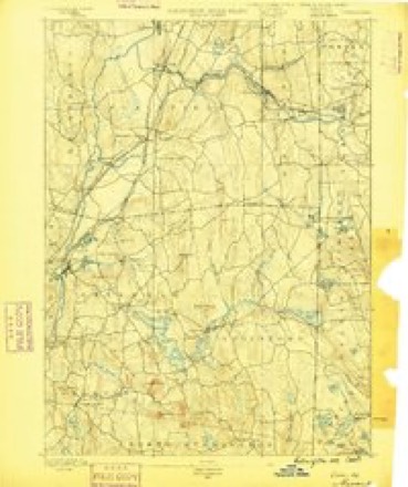
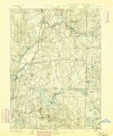
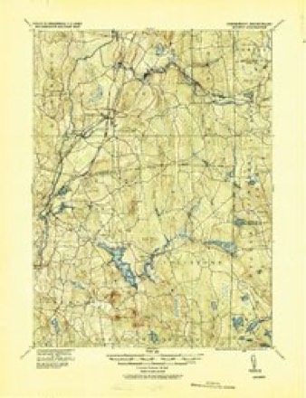
32 topographic sheets cover this place, the earliest surveyed in 1889 and the latest in 1984. It stands in Brooklyn town. It lies in ZIP code area 06234. It stands on Pine Brook. The Survey maps it on the Plainfield quadrangle.
On record in West Wauregan
Buildings and businesses the archive holds for this place. Each opens its own page, with the source record it came from.
On the National Register within a mile 1 record
The National Register names another town for these. They stand within one mile of this settlement's coordinate.
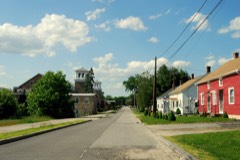 Wauregan Historic Districtlisted 1979 · 0.4 miles away
Topographic sheets covering this place
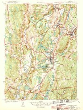
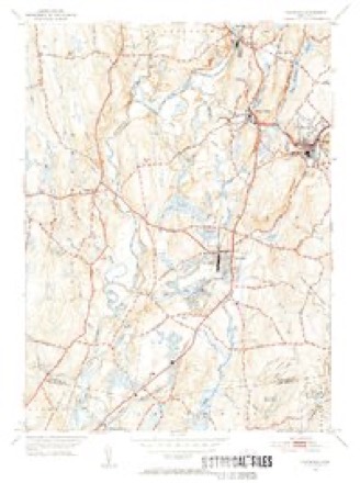
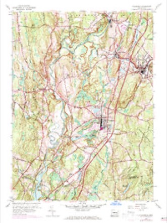
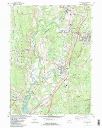
14 surveys from 32 printed sheetsMatched by testing this settlement's coordinate against the published boundary of every sheet in the United States Geological Survey's historical collection. Each opens the scanned sheet at the Survey.
- 1889 USGS Moosup quadrangle1:62500
- 1893 USGS Moosup quadrangle1:62500, 7 printings
- 1920 USGS Moosup quadrangle1:62500
- 1943 USGS Plainfield quadrangle1:31680, 3 printings
- 1943 USGS Putnam quadrangle1:125000
- 1947 USGS Providence quadrangle1:250000, 5 printings
- 1948 USGS Providence quadrangle1:250000
- 1953 USGS Plainfield quadrangle1:31680, 2 printings
- 1953 USGS Plainfield quadrangle1:24000, 4 printings
- 1957 USGS Providence quadrangle1:250000
- 1958 USGS Providence quadrangle1:250000
- 1963 USGS Providence quadrangle1:250000
- 1983 USGS Plainfield quadrangle1:24000, 3 printings
- 1984 USGS Providence quadrangle1:100000







In the county-history sources
29,833 words on this townshipHistory of Windham County, Connecticut .., published 1889 names this settlement in its chapter on Brooklyn Town. These are the passages that mention it, exactly as the scans read.
The church in Mortlake parish, known as the Second church of Pomfret, shared largely in the religious awakening, adding to its membership in 1741-2 one hundred and six. This church was more inclined to independence and less rigid in discipline than most of its contemporaries. Among its members were Josiah, an elder brother of John and Ebenezer Cleveland ; Constance, sister of Elisha and Solomon Paine, and other Canterbury residents, all in full sympathy with the revival and eager to exercise the privilege of laboring and exhorting. On lecture day, September 10th, several brothers and sisters of the church went so far "beyond their line as to break the peace and quiet of the church " by publicly exhorting the congregation after the service. Samuel Wilson actually had the temerity to speak for some considerable time to the people on the common before the meeting house door, attempting "to teach them the wretched estate they were in, and that their help was in God, and exhorting them to come to him." Ezekiel Spalding " also spoke very loud for a little space byway of exhorting the people," and Constance Paine " was heard to speak in a very loud, earnest and resolute manner." Great clamor and confusion followed. Some de- nounced the speakers, some encouraged them. Disputing and jangling were heard on every side, even within the sacred walls of the meeting house. Tidings of the outbreak were speedily carried to Mr. Aveijy. He went out and rebuked the offenders, and as the ecclesiastic head of the parish, commanded them to forbear their irregular and improper exhorting, but met with public opposition and defamation while attempting to exert his official authority. One angry citizen even charged him with lying, and another declared, "That by his own words he showed that he did not know the Spirit of God."
Passage source: History of Windham County, Connecticut .., published 1889.
Machine-read from a century-old scan, so expect the errors a machine makes: misspelled names, dropped words, stray characters.
Fires near this place
173 since 1993Regional context, not property-specific evidence. The federal wildfire occurrence database lists 173 fires within 5 miles of West Wauregan between 1993 and 2020, burning about 123 acres in total. 1 started naturally. 7 were recorded as arson. Distance is straight-line from the map coordinates, so a fire counted here may appear on a neighbouring settlement's page as well.
| Reported cause | Fires |
|---|---|
| Missing data/not specified/undetermined | 118 |
| Recreation and ceremony | 18 |
| Debris and open burning | 10 |
| Smoking | 9 |
| Arson/incendiarism | 7 |
| Misuse of fire by a minor | 6 |
| Equipment and vehicle use | 2 |
| Natural | 1 |
| Railroad operations and maintenance | 1 |
| Power generation/transmission/distribution | 1 |
The most recent of them, most recent first, with the day each was reported and the service that recorded it.
| Date | Cause | Size | Reported by | Name on the report |
|---|---|---|---|---|
| 28 September 2011 | Missing data/not specified/undetermined | under an acre | Connecticut Division of Forestry | PLAINFIELD |
| 19 September 2020 | Missing data/not specified/undetermined | under an acre | Connecticut Division of Forestry | 1 CAPRON STREET |
| 16 September 2020 | Recreation and ceremony | under an acre | Connecticut Division of Forestry | ALAN HILL ROAD* |
| 7 August 2010 | Missing data/not specified/undetermined | under an acre | Connecticut Division of Forestry | not named |
| 2 August 2020 | Missing data/not specified/undetermined | under an acre | Connecticut Division of Forestry | OLD FURNACE STATE PARK |
| 2 August 2020 | Missing data/not specified/undetermined | under an acre | Connecticut Division of Forestry | 81 ROSS ROAD |
| 10 August 2020 | Debris and open burning | under an acre | Connecticut Division of Forestry | 6 FINN ROAD |
| 10 August 1993 | Arson/incendiarism | 1.5 acres | Connecticut Division of Forestry | not named |
Settlements close enough to share some of these fires:
Mines and quarries near this place
9 within 5 milesRegional context, not property-specific evidence. The federal mineral resources record lists 9 workings within 5 miles of West Wauregan: 4 producers, 4 past producers, 1 unknown. 4 still produce. What was taken out: Sand and Gravel, Construction, Stone, Crushed/Broken, Granite, Flagstone. Distance is straight-line from the map coordinates, so a quarry counted here may appear on a neighbouring settlement's page as well.
| Where | Site | Commodity | Status | Recorded |
|---|---|---|---|---|
| Connecticut Flatstone Quarry | Stone, Dimension | Producer | ||
| Strouse Brothers Quarry | Flagstone | Past Producer | ||
| Wauregan Quarry | Granite | Past Producer | Granite | |
| Connecticut Flat | Stone, Crushed/Broken | Past Producer | ||
| Strouse Brothers Quarry | Stone, Crushed/Broken | Past Producer | Sedimentary | |
| Wauregan Pit and Quarry | Stone, Crushed/Broken, Sand and Gravel, Construction | Producer | ||
| Danielson Mine | Sand and Gravel, Construction | Producer | ||
| Danielson Pit | Sand and Gravel, Construction | Unknown | ||
| Route 205 Pit | Sand and Gravel, Construction | Producer |
Nearest settlements
The eight closest, with where each one stands in the county. Distances are straight-line, computed from the Geographic Names Information System coordinates.
| Map | Place | Distance | Sheets |
|---|---|---|---|
| Wauregan | 0.5 miles | 32 | |
| Wauregan Station | 1.2 miles | 32 | |
| Central Village | 1.8 miles | 32 | |
| Moosup | 3.1 miles | 32 | |
| Brooklyn | 3.3 miles | 30 | |
| Almyville | 3.4 miles | 28 | |
| East Brooklyn | 3.5 miles | 30 | |
| Acquidaneck (historical) | 3.7 miles | 30 |
Provenance
This settlement is recorded in the Geographic Names Information System as feature 212005. The sheet list is computed by point-in-boundary test against the United States Geological Survey's historical topographic inventory. Both are works of the United States government and carry no copyright under 17 U.S.C. 105.
Wildfire. Short, Karen C. 2022. Spatial wildfire occurrence data for the United States, 1992-2020 [FPA_FOD_20221014]. 6th Edition. Fort Collins, CO: Forest Service Research Data Archive. https://doi.org/10.2737/RDS-2013-0009.6 Collected with United States Government funding and usable without additional permissions or fees.
Mines and quarries. USGS Mineral Resources Data System (MRDS) https://mrdata.usgs.gov/mrds/ A work of the United States government, no copyright under 17 U.S.C. 105.