 Block
Naugatuck, Connecticut
35 topographic sheets cover this place, the earliest surveyed in 1889 and the latest in 1986. It stands in Naugatuck town. It lies in ZIP code area 06770. It stands on Long Meadow Pond Brook. The Survey maps it on the Naugatuck quadrangle. 31,519 people lived here at the 2020 count. It stands 207 feet above sea level.
On record in Naugatuck
Buildings and businesses the archive holds for this place. Each opens its own page, with the source record it came from.
On the National Register 4 records
 Naugatuck Center Historic Districtlisted 1999
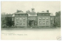 Salem Schoollisted 1983
 Bronson B. Tuttle Houselisted 1990
 US Post Office-Naugatuck Mainlisted 1986
Population over time
2 figuresNaugatuck fell from 31,862 to 31,519 between 2010 and 2020. These are the recorded population figures Wikidata holds for this place, reached through the Geographic Names Information System number this page is keyed on rather than by name, so they belong to this place and not to another of the same name. Most are census counts, but not all are: an early figure may be a founding or settlement estimate, and an estimate published within five years of a census is left out. The change column is computed, and is left blank where more than 20 years separate a figure from the one before it, because a gap that long is not a change between two counts.
| Year | People | Change |
|---|---|---|
| 2010 | 31,862 | |
| 2020 | 31,519 | -343 (-1%) |
Topographic sheets covering this place
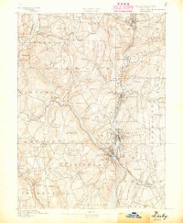
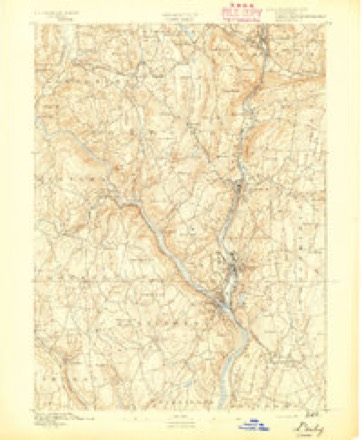
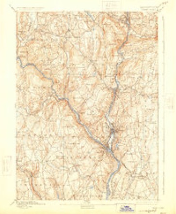
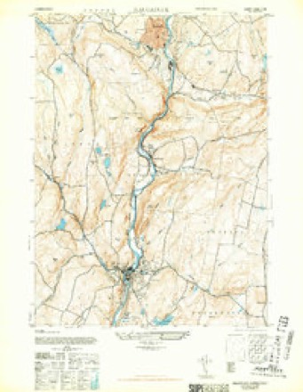
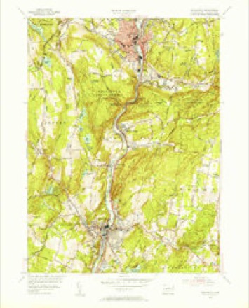
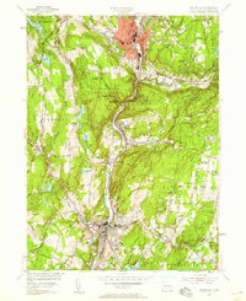
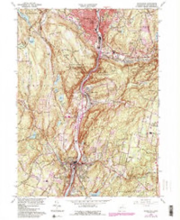
13 surveys from 35 printed sheetsMatched by testing this settlement's coordinate against the published boundary of every sheet in the United States Geological Survey's historical collection. Each opens the scanned sheet at the Survey.
- 1889 USGS Derby quadrangle1:62500
- 1891 USGS Derby quadrangle1:62500
- 1893 USGS Derby quadrangle1:62500, 9 printings
- 1943 USGS Naugatuck quadrangle1:31680, 2 printings
- 1947 USGS Hartford quadrangle1:250000, 2 printings
- 1948 USGS Hartford quadrangle1:250000, 2 printings
- 1954 USGS Naugatuck quadrangle1:31680
- 1954 USGS Naugatuck quadrangle1:24000, 2 printings
- 1961 USGS Hartford quadrangle1:250000
- 1962 USGS Hartford quadrangle1:250000, 3 printings
- 1964 USGS Naugatuck quadrangle1:24000, 6 printings
- 1965 USGS Hartford quadrangle1:250000, 2 printings
- 1986 USGS Bridgeport quadrangle1:100000, 3 printings






In the county-history sources
28,216 words on this townshipHistory of New Haven County, Connecticut, published 1892 names this settlement in its chapter on Naugatuck Town. These are the passages that mention it, exactly as the scans read.
The principal affluents are Hop brook, in the northern part, flowing from Middlebury; Fulling Mill brook, in the northeastern part, flowing from Prospect; Beacon Hill brook, in the southeastern part and south of Hopkins' hill; Spruce brook, in the southwest; and a large brook, flowing from the southern part of Middlebury, bisecting the western half of the town and emptying into the Naugatuck river
Passage source: History of New Haven County, Connecticut, published 1892.
The town was organized in 1844 and took its name from the valley in which it lies. Doctor Anderson says that the term "Naugatuck was originally attached not to the river, but to a place on the river;" and that there was plenty of evidence to show that Naugatuck, or the fishing place, was at Rimmon Falls, where Seymour now stands. The name being applied to the river, at that particular place, was soon given to the entire length, then to the valley and finally to the town.
Passage source: History of New Haven County, Connecticut, published 1892.
Of the northern section the Indian title was extinguished by purchase from the Farmington Tribe in February, 1657. The southern part was claimed by the Milford Tribe and its lands were conveyed to Thomas Judd and John Stanley February 28th, 1685. In all there were 20 parcels, 9 on the east side and 11 on the west of the river. The former comprised the lands lying north of Beacon Hill brook and to the north end of Judd's Meadow, called by the name of Sqonk. Eastward these lands extended from the river to the Wallingford and New Haven bounds, in what are now Prospect and Bethany. The lands west of the river extended to the Cedar swamp and the Ouassepaug pond. The rich meadows in the southeastern part of this purchase early attracted the attention of a number of settlers of Waterbury, who were moved with a desire to possess them. Accordingly a division of lands, by allotment, was sought and made as early as 1686. In this division Edmund Scott and others received lands along Towantic brook, many years before settlement was made. At the mouth of the brook and extending; northward along- the river was the first allotment to Deacon Thomas Judd. It consisted of eight acres of very superior level land and for more than 100 years it was known as Judd's Meadow. As a later allotment Judd received lands north of what is now Maple street, at Naugatuck. On the east side of the river, below the mouth of Fulling Mill brook, ten acres were set aside to Doctor Daniel Porter, in 1686.
Passage source: History of New Haven County, Connecticut, published 1892.
Machine-read from a century-old scan, so expect the errors a machine makes: misspelled names, dropped words, stray characters.
Read the whole chapter on Naugatuck Town - it names this place 118 more 118 times.
Fires near this place
607 since 1992Regional context, not property-specific evidence. The federal wildfire occurrence database lists 607 fires within 5 miles of Naugatuck between 1992 and 2020, burning about 1,353 acres in total. None started naturally. 165 were recorded as arson. Distance is straight-line from the map coordinates, so a fire counted here may appear on a neighbouring settlement's page as well.
| Reported cause | Fires |
|---|---|
| Missing data/not specified/undetermined | 265 |
| Arson/incendiarism | 165 |
| Recreation and ceremony | 57 |
| Misuse of fire by a minor | 54 |
| Debris and open burning | 37 |
| Smoking | 14 |
| Railroad operations and maintenance | 8 |
| Equipment and vehicle use | 6 |
| Power generation/transmission/distribution | 1 |
The most recent of them, most recent first, with the day each was reported and the service that recorded it.
| Date | Cause | Size | Reported by | Name on the report |
|---|---|---|---|---|
| 8 September 2000 | Arson/incendiarism | under an acre | Connecticut Division of Forestry | not named |
| 7 September 2004 | Missing data/not specified/undetermined | under an acre | Connecticut Division of Forestry | not named |
| 7 September 2004 | Missing data/not specified/undetermined | under an acre | Connecticut Division of Forestry | not named |
| 7 September 1994 | Debris and open burning | under an acre | Connecticut Division of Forestry | not named |
| 7 September 1994 | Recreation and ceremony | under an acre | Connecticut Division of Forestry | not named |
| 6 September 1995 | Arson/incendiarism | under an acre | Connecticut Division of Forestry | not named |
| 6 September 1995 | Arson/incendiarism | 3.0 acres | Connecticut Division of Forestry | not named |
| 4 September 2017 | Missing data/not specified/undetermined | under an acre | Connecticut Division of Forestry | CHRISTIAN ST |
Settlements close enough to share some of these fires:
Mines and quarries near this place
10 of 20 shownRegional context, not property-specific evidence. The federal mineral resources record lists 20 workings within 5 miles of Naugatuck: 10 producers, 6 past producers, 2 unknowns, 1 occurrence. 11 still produce. What was taken out: Sand and Gravel, Construction, Copper, Iron, Iodine. Distance is straight-line from the map coordinates, so a quarry counted here may appear on a neighbouring settlement's page as well.
| Where | Site | Commodity | Status | Recorded |
|---|---|---|---|---|
| Bogue Mill | Stone, Crushed/Broken | Unknown | Surface | |
| Copper Prospect No. Ek-002 | Copper, Iron | Occurrence | Disseminations In Metamor | |
| D & J Quarry | Stone | Producer | ||
| Mariano Pit | Sand and Gravel, Construction, Stone, Crushed/Broken | Producer | ||
| Naugatuck Plant | Iodine | Plant | ||
| Beacon Falls Pit | Sand and Gravel, Construction | Past Producer | Sedimentary | |
| Beacon Falls Pit | Sand and Gravel, Construction | Producer | ||
| Colonial Sand & Gravel Co. Pit | Sand and Gravel, Construction | Producer | ||
| Colonial Sand and Gravel Co. Pit | Sand and Gravel, Construction | Past Producer | Sedimentary | |
| Falls Road Pit | Sand and Gravel, Construction | Producer |
Storms near this place
20 since 1995Regional context, not property-specific evidence. The National Weather Service names Naugatuck in 20 storm reports between 1995 and 2024: 12 thunderstorm wind, 4 flash flood, 2 lightning, 2 hail. The reports record 2 injuries. Each account below is quoted exactly as the forecast office filed it, from the NOAA Storm Events Database, and each date opens the federal record of that event.
| When | Event | Place named | Harm | What the report says |
|---|---|---|---|---|
| August 1998 | Thunderstorm Wind | Naugatuck | 2 hurt | no account filed |
| June 2011 | Thunderstorm Wind | Naugatuck | $12,500 | Numerous trees were reported down in Naugatuck, including a large tree into a house at 384 Hillside Avenue, and another tree on a house at 151 New Street. |
| July 2009 | Thunderstorm Wind | Naugatuck | $10,000 | Numerous trees were downed in Naugatuck. These trees fell on cars, power lines and houses. Power was lost for over eight hours in some locations. |
| July 2009 | Thunderstorm Wind | Naugatuck | $10,000 | Spotter reports indicate downed trees near the off/on ramps of exit 25 on Route 8 North, extending east for about 200 yards to near a commuter parking lot on Cross Street and onto Andrasko Road. Downed trees near the Route 8 ramps were facing toward the north and northwest, while those near the parking lot and on Andrasko Road were oriented east and southeast. Some healthy trees in the damage area were snapped about one-third of the way down from the top. This damage is indicative of a microburst with estimated maximum winds of about 95 mph. |
| August 2011 | Thunderstorm Wind | Naugatuck | $7,500 | Multiple trees and wires were reported down in Naugatuck. |
| June 2012 | Thunderstorm Wind | Naugatuck | $1,500 | A tree and large branches were reported down in Naugatuck. |
| May 2010 | Thunderstorm Wind | Naugatuck | $600 | A 70 foot tall oak tree was downed in Naugatuck. |
| April 1995 | Thunderstorm Wind | Naugatuck | $250 | A roof was blown off one house and two others were damaged. |
| August 2024 | Flash Flood | Naugatuck | - | Four buildings along the Naugatuck River are compromised by flooding and are being evacuated. |
| October 2017 | Flash Flood | Naugatuck | - | Running flood waters over 6 inches deep were reported flowing across a gas station parking lot and onto a roadway off of Route 63 in Naugatuck. |
| August 2011 | Hail | Naugatuck | - | Penny to quarter size hail was reported across Naugatuck, including along Route 63. |
| July 2008 | Hail | Naugatuck | - | Penny size hail was reported covering the ground. |
| June 2007 | Thunderstorm Wind | Naugatuck | - | Trees downed. |
| June 2007 | Flash Flood | Naugatuck | - | Flash flooding also resulted in lane closures on Prospect Street. |
| July 2007 | Flash Flood | Naugatuck | - | Thunderstorms produced torrential rain that closed Old Firehouse Road in Naugatuck. |
| June 2002 | Thunderstorm Wind | Naugatuck | - | no account filed |
| June 2001 | Thunderstorm Wind | Naugatuck | - | no account filed |
| January 1999 | Lightning | Naugatuck | - | no account filed |
| June 1998 | Lightning | Naugatuck | - | no account filed |
| May 1995 | Thunderstorm Wind | Naugatuck | - | no account filed |
Nearest settlements
The eight closest, with where each one stands in the county. Distances are straight-line, computed from the Geographic Names Information System coordinates.
| Map | Place | Distance | Sheets |
|---|---|---|---|
| Union City | 0.8 miles | 35 | |
| Millville | 0.9 miles | 35 | |
| Glen Ridge | 1.3 miles | 33 | |
| Robert Hutt Congregate Housing | 1.4 miles | 35 | |
| Straitsville | 1.4 miles | 35 | |
| Platts Mills | 2.0 miles | 33 | |
| Beacon Falls | 3.0 miles | 35 | |
| Bradleyville | 3.1 miles | 33 |
Elsewhere
Matched on this settlement's Geographic Names Information System number rather than its name, so it cannot be a different place of the same name in another state.
| Wikipedia article on Naugatuck | An encyclopaedic summary. Its text is share-alike, so it is linked here rather than copied. |
| Wikidata item Q753957 | The structured record the population and elevation above come from. Public domain (CC0). |
Provenance
This settlement is recorded in the Geographic Names Information System as feature 209191. The sheet list is computed by point-in-boundary test against the United States Geological Survey's historical topographic inventory. Both are works of the United States government and carry no copyright under 17 U.S.C. 105.
Wildfire. Short, Karen C. 2022. Spatial wildfire occurrence data for the United States, 1992-2020 [FPA_FOD_20221014]. 6th Edition. Fort Collins, CO: Forest Service Research Data Archive. https://doi.org/10.2737/RDS-2013-0009.6 Collected with United States Government funding and usable without additional permissions or fees.
Mines and quarries. USGS Mineral Resources Data System (MRDS) https://mrdata.usgs.gov/mrds/ A work of the United States government, no copyright under 17 U.S.C. 105.
Storms. NOAA National Centers for Environmental Information, Storm Events Database https://www.ncei.noaa.gov/stormevents/ A work of the United States government, no copyright under 17 U.S.C. 105. Narratives are quoted verbatim from the National Weather Service report and are not edited or summarised.