 Block
North Ashford, Connecticut
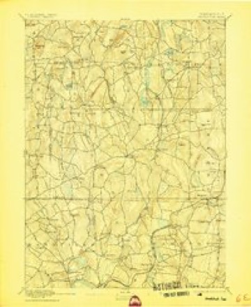
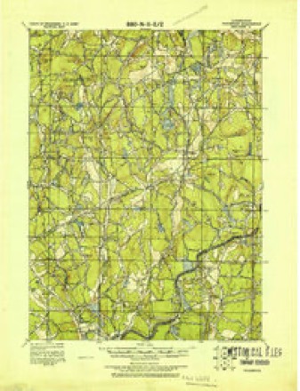
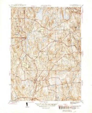
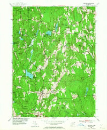
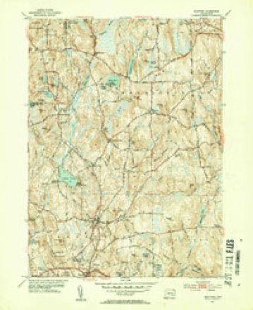
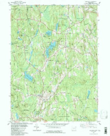
28 topographic sheets cover this place, the earliest surveyed in 1892 and the latest in 1994. It stands in Eastford town. It lies in ZIP code area 06242. It stands on North Ashford Brook. The Survey maps it on the Eastford quadrangle.
Topographic sheets covering this place
13 surveys from 28 printed sheetsMatched by testing this settlement's coordinate against the published boundary of every sheet in the United States Geological Survey's historical collection. Each opens the scanned sheet at the Survey.
- 1892 USGS Woodstock quadrangle1:62500, 6 printings
- 1921 USGS Woodstock quadrangle1:62500
- 1945 USGS Eastford quadrangle1:31680, 2 printings
- 1947 USGS Hartford quadrangle1:250000, 2 printings
- 1948 USGS Hartford quadrangle1:250000, 2 printings
- 1953 USGS Eastford quadrangle1:24000, 3 printings
- 1953 USGS Eastford quadrangle1:31680, 2 printings
- 1961 USGS Hartford quadrangle1:250000
- 1962 USGS Hartford quadrangle1:250000, 3 printings
- 1965 USGS Hartford quadrangle1:250000, 2 printings
- 1983 USGS Eastford quadrangle1:24000
- 1986 USGS Hartford quadrangle1:100000
- 1994 USGS Hartford quadrangle1:100000, 2 printings







In the county-history sources
16,344 words on this townshipHistory of Windham County, Connecticut, published 1880; History of Windham County, Connecticut .., published 1889 names this settlement in its chapter on Eastford Town. These are the passages that mention it, exactly as the scans read.
IHainfield Junction for many yeai-s was nothing but a railroad crossing, but now carries on Foundry works, and steam saw-mills, and iH building up into a village. Old Plainfield Village has perhaps the finest avenue of trees in Windham County, and many handsome residences. The Congregational church still worshi|>s in the stone meetinghouse of 1818, and though greatly weakened by dismissal of members to Central Village and Wauregaii churches, is regaining its former strength. Reverends Andrew Dunning and Henry Robinson were greatly esteemed pastora of this church. Elisha L. Fuller has long filled the deacons office. Plainfield Academy has suffered a permanent doclino, but its building is from time t<> lime occupied by ho|>eful aspirants. Messrs. William A. Benedict, Elijah Perry and Lucian Burleigh are among the later teachers, who did their best to resuscitate the enfeebled institution. Plainfield, like many similar towns, suffers from a multiplicity of interests, its villages being practically independent organizations. The senior village, however, occupies a nominal head-ship, and has still been able to retain the administration of the Probate Court. Its charge wjis held for twenty-three years by Hon. Davi<l Gallup, who removed his resilience to Plainfield at an early age, and became very active in town and public afiairs. Serving repeatedly in the legislature, his sound judgment and business capacity gave him the speakership of the House, and a place on many important committees. Spending his winters latterly in Hartford, he has become widely known and respected in business circles, and was elected with great heartiness and a[)proval to fill the office of lieutenant-governor. Judge Gallup contimies to pass his summers in his pleasimt Plninfield home, and enjoys the confidence and res}>ect of many friends in his own town and County. Plainfield has recently lost its venerable physician, Dr. William II. Cogswell, so widely known in professional and public life. His services as agent for Connecticut in care of sick and wounded soldiers during the late War, were es|>ecially valuable. In public and private, in Church and State, he was alike useful and honored. Judge Eaton, Colonel lister, Joseph
Passage source: History of Windham County, Connecticut, published 1880.
Smith Snow was a son of Bilarky Snow, who owned a large tract of land in Eastford. Smith Snow married Sally Hyde. He was a decided business man, and gave but little time to the social conventionalities of life. The story is handed down of him that when he wedded his wife he returned f rotti the wedding, which is supposed to have taken place at the home of the bride's sister, Mrs. William Sherman, in the western part of Pomfret, changed his clothes and went to work in his mill, completing his day's work. Having done so he returned home at evening and found his house filled with guests met to properly celebrate the occasion. But he was not be thrown out of his usual habit even by such an innovation. When his usual bed-time came, which was early in the night, he disrobed in the kitchen and tucked himself away in the bed, telling his new wife that she could come when she got ready and take the back side, as he should take the front side of the bed himself.
Passage source: History of Windham County, Connecticut .., published 1889.
Machine-read from a century-old scan, so expect the errors a machine makes: misspelled names, dropped words, stray characters.
Read the whole chapter on Eastford Town - it names this place 1 more 1 time.
Fires near this place
49 since 1993Regional context, not property-specific evidence. The federal wildfire occurrence database lists 49 fires within 5 miles of North Ashford between 1993 and 2020, burning about 49 acres in total. None started naturally. 3 were recorded as arson. Distance is straight-line from the map coordinates, so a fire counted here may appear on a neighbouring settlement's page as well.
| Reported cause | Fires |
|---|---|
| Missing data/not specified/undetermined | 31 |
| Recreation and ceremony | 9 |
| Debris and open burning | 4 |
| Arson/incendiarism | 3 |
| Power generation/transmission/distribution | 1 |
| Smoking | 1 |
The most recent of them, most recent first, with the day each was reported and the service that recorded it.
| Date | Cause | Size | Reported by | Name on the report |
|---|---|---|---|---|
| 28 September 2020 | Missing data/not specified/undetermined | under an acre | Connecticut Division of Forestry | NIPMUCK STATE FOREST |
| 23 August 2008 | Missing data/not specified/undetermined | under an acre | Connecticut Division of Forestry | not named |
| 17 August 2020 | Missing data/not specified/undetermined | under an acre | Connecticut Division of Forestry | 13 BUELL DRIVE |
| 31 July 2020 | Recreation and ceremony | 1.0 acres | Connecticut Division of Forestry | MASHAPAUG |
| 9 June 2016 | Missing data/not specified/undetermined | under an acre | Connecticut Division of Forestry | 57 UNION RD, EASTFORD CT |
| 22 June 1999 | Recreation and ceremony | under an acre | Connecticut Division of Forestry | not named |
| 14 June 2016 | Missing data/not specified/undetermined | under an acre | Connecticut Division of Forestry | 1791 ROUTE 197, WOODSTOCK |
| 29 May 2011 | Missing data/not specified/undetermined | under an acre | Connecticut Division of Forestry | WOODSTOCK |
Settlements close enough to share some of these fires:
Mines and quarries near this place
3 within 5 milesRegional context, not property-specific evidence. The federal mineral resources record lists 3 workings within 5 miles of North Ashford: 3 past producers. None of them still produces. What was taken out: Sand and Gravel, Construction, Graphite, Iron. Distance is straight-line from the map coordinates, so a quarry counted here may appear on a neighbouring settlement's page as well.
| Where | Site | Commodity | Status | Recorded |
|---|---|---|---|---|
| Bog Iron Mine | Iron | Past Producer | ||
| Latham Pit | Sand and Gravel, Construction | Past Producer | ||
| Lead Hill Mine Graphite Deposits | Graphite | Past Producer |
Storms near this place
1 since 2019Regional context, not property-specific evidence. The National Weather Service names North Ashford in 1 storm report in 2019: 1 flood. No death or injury is recorded in these reports. Each account below is quoted exactly as the forecast office filed it, from the NOAA Storm Events Database, and each date opens the federal record of that event.
| When | Event | Place named | Harm | What the report says |
|---|---|---|---|---|
| July 2019 | Flood | North Ashford | $2,000 | Flooding was reported in Woodstock at the intersection of Route 198 and Route 197. |
Nearest settlements
The eight closest, with where each one stands in the county. Distances are straight-line, computed from the Geographic Names Information System coordinates.
| Map | Place | Distance | Sheets |
|---|---|---|---|
| Witches Woods | 1.9 miles | 28 | |
| Woodstock Valley | 2.0 miles | 28 | |
| Kenyonville | 2.1 miles | 28 | |
| Lake Bungee | 2.3 miles | 28 | |
| West Woodstock | 3.2 miles | 28 | |
| Eastford | 3.8 miles | 28 | |
| Westford | 4.4 miles | 28 | |
| Lake Chaffee | 4.8 miles | 28 |
Provenance
This settlement is recorded in the Geographic Names Information System as feature 212522. The sheet list is computed by point-in-boundary test against the United States Geological Survey's historical topographic inventory. Both are works of the United States government and carry no copyright under 17 U.S.C. 105.
Wildfire. Short, Karen C. 2022. Spatial wildfire occurrence data for the United States, 1992-2020 [FPA_FOD_20221014]. 6th Edition. Fort Collins, CO: Forest Service Research Data Archive. https://doi.org/10.2737/RDS-2013-0009.6 Collected with United States Government funding and usable without additional permissions or fees.
Mines and quarries. USGS Mineral Resources Data System (MRDS) https://mrdata.usgs.gov/mrds/ A work of the United States government, no copyright under 17 U.S.C. 105.
Storms. NOAA National Centers for Environmental Information, Storm Events Database https://www.ncei.noaa.gov/stormevents/ A work of the United States government, no copyright under 17 U.S.C. 105. Narratives are quoted verbatim from the National Weather Service report and are not edited or summarised.