 Block
West Woodstock, Connecticut
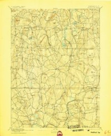
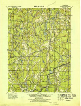
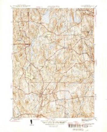
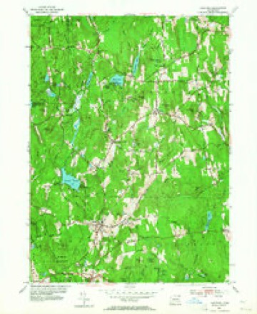
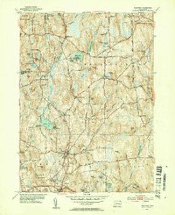
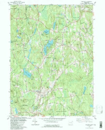
28 topographic sheets cover this place, the earliest surveyed in 1892 and the latest in 1994. It stands in Woodstock town. It lies in ZIP code area 06282. It lies near Aplin Hill. The Survey maps it on the Eastford quadrangle.
Topographic sheets covering this place
13 surveys from 28 printed sheetsMatched by testing this settlement's coordinate against the published boundary of every sheet in the United States Geological Survey's historical collection. Each opens the scanned sheet at the Survey.
- 1892 USGS Woodstock quadrangle1:62500, 6 printings
- 1921 USGS Woodstock quadrangle1:62500
- 1945 USGS Eastford quadrangle1:31680, 2 printings
- 1947 USGS Hartford quadrangle1:250000, 2 printings
- 1948 USGS Hartford quadrangle1:250000, 2 printings
- 1953 USGS Eastford quadrangle1:24000, 3 printings
- 1953 USGS Eastford quadrangle1:31680, 2 printings
- 1961 USGS Hartford quadrangle1:250000
- 1962 USGS Hartford quadrangle1:250000, 3 printings
- 1965 USGS Hartford quadrangle1:250000, 2 printings
- 1983 USGS Eastford quadrangle1:24000
- 1986 USGS Hartford quadrangle1:100000
- 1994 USGS Hartford quadrangle1:100000, 2 printings







In the county-history sources
50,238 words on this townshipHistory of Windham County, Connecticut, published 1880; History of Windham County, Connecticut .., published 1889 names this settlement in its chapter on Woodstock Town. These are the passages that mention it, exactly as the scans read.
Daniel Iltint. Ilev. A. C. Thompson brought greetings from the mother church of lloxbury, and pleasant reminiscences ami congratulations were given by Reverends C P. Grosvenor, Andrew Dunning and G. N. Webber. Mr. Hunt survived for several years, a great blessing to all who knew him. The honored church father and deacon, Job Williams, died in 1863. Darius Matthewson, Es([., so prominent in ])ublic affairs and temperance work, ha<i preceded him ; and his respected sons, Deacon George and Colonel Charles B. Mattheweon, have lately followed. Not only chmch officers but churches have passed away. The Ponifret Baptist church has been absorbed into the former Branch at Putnam, and Quaker worship li;is died out A Second Advent church is niainUiined in Abington. The Episcopal church is very flourishing and enjoys the ministrations of many distinguished clergymen. Dr. Hiram Holt died in 1H70, alter a successful medical practice of nearly filly years. Pomfret's only remaining physician. Dr. Williams, has held the place many years.
Passage source: History of Windham County, Connecticut, published 1880.
This Woodstock territory was first known to the whites as a part of Wabbaquasset, a country run over and conquered by the Mohegans, and subject to Uncas. Its name signifies " the matproducing country," and was probably derived from some marsh or meadow that produced valuable reeds for mats and baskets. It included land west of the Quinebaug, north of a westward line from Acquiunk Falls, now at Danielsonville. The Indians living in this section were known as Wabbaquassets. They were apparently few in number and inferior in character, abjectly submissive to the great sachem Uncas, paying "him homage and obligations, and yearly tribute of white deer skins, bear skins and black wolf skins." The south part of what is now Woodstock is supposed to have been one of their favorite haunts. The smooth hills were burnt over every year to furnish fresh pasture for deer, and corn was grown there as far back as the first settlement of Boston. When news was borne through Nipnet to Wabbaquasset that Englishmen at the Bay lacked corn, and would pay a good price for it, a stout young Indian lad, Acquittimaug, trudged through the wilderness with his father with sacks of corn upon their backs to sell to the Englishmen.
Passage source: History of Windham County, Connecticut .., published 1889.
Samuel Rice and John Marcy about their home lots ; also to allow Joseph Bacon to take up the remainder of his brother Thomas's lot, provided he come and settle here by the 12th of April next, and to rectify various under and over allotments. Attending to this work "with all expedition," on March 18th the committee reported seventeen highways necessary for the good of the town. A number of these were two rods wide, accommodating the settlers with ways to the mills or Planting hill in the tract. The most important was a road eight rods wide " running from the brook at the northward end of the eastward vale to go and be by the pond through the plaine to Muddy brook, from thence up to the Plaine Hill," and also one going out from this highway "to lead to the road called Connecticut Road," extending through the intervale west side Muddy brook. Little else was accomplished during the year ; a bridge was built near John Chandler's ; orchards were set out with famous russets and other slips brought from Roxbury, but there was small encouragement to effort.
Passage source: History of Windham County, Connecticut .., published 1889.
Machine-read from a century-old scan, so expect the errors a machine makes: misspelled names, dropped words, stray characters.
Read the whole chapter on Woodstock Town - it names this place 41 more 41 times.
Fires near this place
65 since 1992Regional context, not property-specific evidence. The federal wildfire occurrence database lists 65 fires within 5 miles of West Woodstock between 1992 and 2020, burning about 46 acres in total. 1 started naturally. 2 were recorded as arson. Distance is straight-line from the map coordinates, so a fire counted here may appear on a neighbouring settlement's page as well.
| Reported cause | Fires |
|---|---|
| Missing data/not specified/undetermined | 46 |
| Recreation and ceremony | 10 |
| Debris and open burning | 3 |
| Arson/incendiarism | 2 |
| Misuse of fire by a minor | 1 |
| Natural | 1 |
| Railroad operations and maintenance | 1 |
| Power generation/transmission/distribution | 1 |
The most recent of them, most recent first, with the day each was reported and the service that recorded it.
| Date | Cause | Size | Reported by | Name on the report |
|---|---|---|---|---|
| 26 August 1995 | Arson/incendiarism | under an acre | Connecticut Division of Forestry | not named |
| 17 August 2020 | Missing data/not specified/undetermined | under an acre | Connecticut Division of Forestry | 13 BUELL DRIVE |
| 31 July 2020 | Recreation and ceremony | 1.0 acres | Connecticut Division of Forestry | MASHAPAUG |
| 3 July 2016 | Missing data/not specified/undetermined | under an acre | Connecticut Division of Forestry | 832 ROUTE 169, WOODSTOCK |
| 14 July 1995 | Natural | 3.0 acres | Connecticut Division of Forestry | not named |
| 9 June 2016 | Missing data/not specified/undetermined | under an acre | Connecticut Division of Forestry | 57 UNION RD, EASTFORD CT |
| 14 June 2016 | Missing data/not specified/undetermined | under an acre | Connecticut Division of Forestry | 1791 ROUTE 197, WOODSTOCK |
| 9 May 2007 | Missing data/not specified/undetermined | under an acre | Connecticut Division of Forestry | not named |
Settlements close enough to share some of these fires:
Mines and quarries near this place
2 within 5 milesRegional context, not property-specific evidence. The federal mineral resources record lists 2 workings within 5 miles of West Woodstock: 2 past producers. None of them still produces. What was taken out: Sand and Gravel, Construction, Iron. Distance is straight-line from the map coordinates, so a quarry counted here may appear on a neighbouring settlement's page as well.
| Where | Site | Commodity | Status | Recorded |
|---|---|---|---|---|
| Bog Iron Mine | Iron | Past Producer | ||
| Latham Pit | Sand and Gravel, Construction | Past Producer |
Storms near this place
4 since 2013Regional context, not property-specific evidence. The National Weather Service names West Woodstock in 4 storm reports between 2013 and 2021: 2 thunderstorm wind, 1 flash flood, 1 hail. No death or injury is recorded in these reports. Each account below is quoted exactly as the forecast office filed it, from the NOAA Storm Events Database, and each date opens the federal record of that event.
| When | Event | Place named | Harm | What the report says |
|---|---|---|---|---|
| June 2013 | Flash Flood | West Woodstock | $15,000 | A house on Spring Hill Road has eighteen inches of water in the basement with water still rising. |
| August 2019 | Thunderstorm Wind | West Woodstock | $1,000 | In Woodstock, a large tree and wires were down near the intersection of Route 197 and Brickyard Road. |
| June 2021 | Thunderstorm Wind | West Woodstock | $500 | In Woodstock, a tree was down on Child Road. |
| July 2019 | Hail | West Woodstock | - | Dime size hail was reported in Woodstock near Route 197 and Child Road. |
Nearest settlements
The eight closest, with where each one stands in the county. Distances are straight-line, computed from the Geographic Names Information System coordinates.
| Map | Place | Distance | Sheets |
|---|---|---|---|
| Lake Bungee | 0.9 miles | 28 | |
| Witches Woods | 1.4 miles | 28 | |
| Woodstock Valley | 1.7 miles | 28 | |
| Kenyonville | 2.6 miles | 28 | |
| North Ashford | 3.2 miles | 28 | |
| North Woodstock | 3.6 miles | 29 | |
| Woodstock | 3.8 miles | 29 | |
| Eastford | 4.1 miles | 28 |
Provenance
This settlement is recorded in the Geographic Names Information System as feature 212008. The sheet list is computed by point-in-boundary test against the United States Geological Survey's historical topographic inventory. Both are works of the United States government and carry no copyright under 17 U.S.C. 105.
Wildfire. Short, Karen C. 2022. Spatial wildfire occurrence data for the United States, 1992-2020 [FPA_FOD_20221014]. 6th Edition. Fort Collins, CO: Forest Service Research Data Archive. https://doi.org/10.2737/RDS-2013-0009.6 Collected with United States Government funding and usable without additional permissions or fees.
Mines and quarries. USGS Mineral Resources Data System (MRDS) https://mrdata.usgs.gov/mrds/ A work of the United States government, no copyright under 17 U.S.C. 105.
Storms. NOAA National Centers for Environmental Information, Storm Events Database https://www.ncei.noaa.gov/stormevents/ A work of the United States government, no copyright under 17 U.S.C. 105. Narratives are quoted verbatim from the National Weather Service report and are not edited or summarised.