 Block
Woodstock Valley, Connecticut
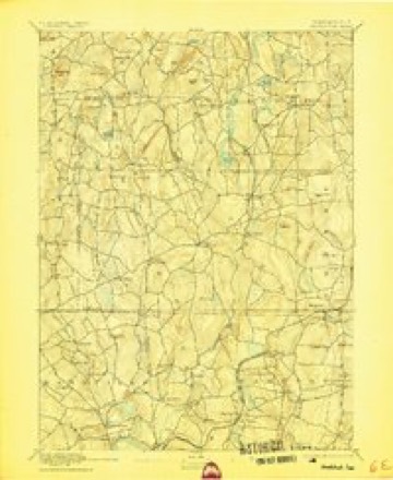
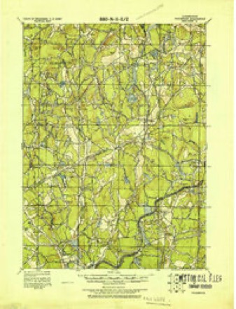
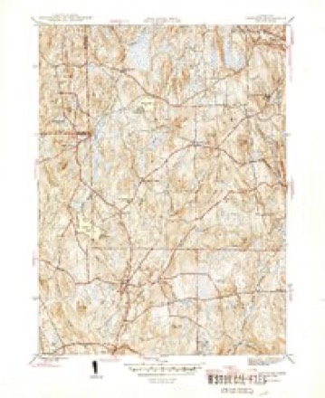
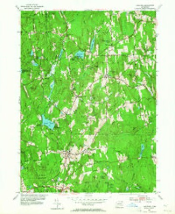
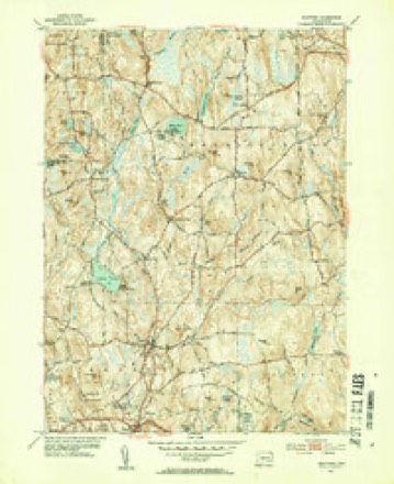
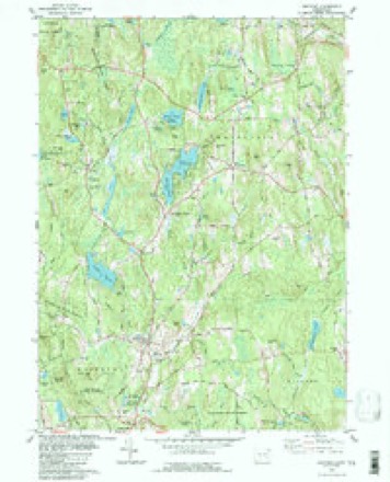
28 topographic sheets cover this place, the earliest surveyed in 1892 and the latest in 1994. It stands in Woodstock town. It lies in ZIP code area 06282. It lies near Furnace Hill. The Survey maps it on the Eastford quadrangle. It stands 597 feet above sea level.
Topographic sheets covering this place
13 surveys from 28 printed sheetsMatched by testing this settlement's coordinate against the published boundary of every sheet in the United States Geological Survey's historical collection. Each opens the scanned sheet at the Survey.
- 1892 USGS Woodstock quadrangle1:62500, 6 printings
- 1921 USGS Woodstock quadrangle1:62500
- 1945 USGS Eastford quadrangle1:31680, 2 printings
- 1947 USGS Hartford quadrangle1:250000, 2 printings
- 1948 USGS Hartford quadrangle1:250000, 2 printings
- 1953 USGS Eastford quadrangle1:24000, 3 printings
- 1953 USGS Eastford quadrangle1:31680, 2 printings
- 1961 USGS Hartford quadrangle1:250000
- 1962 USGS Hartford quadrangle1:250000, 3 printings
- 1965 USGS Hartford quadrangle1:250000, 2 printings
- 1983 USGS Eastford quadrangle1:24000
- 1986 USGS Hartford quadrangle1:100000
- 1994 USGS Hartford quadrangle1:100000, 2 printings







In the county-history sources
50,238 words on this townshipHistory of Windham County, Connecticut .., published 1889 names this settlement in its chapter on Woodstock Town. These are the passages that mention it, exactly as the scans read.
March 12th, 1688, the planters appointed seven men, viz., Edward Morris, John Chandler, Sr., Benjamin Sabin, Joseph Bugbee, William Bartholomew, Samuel Rice, John Bugbee, to state and settle highways and make return in writing. These seven men were empowered to end the controversy between
Passage source: History of Windham County, Connecticut .., published 1889.
In the following year Woodstock parted with its first minister. The pleasant relations of early years had been succeeded by prolonged uneasiness and wrangling. With many good points, Mr. Dwight was erratic and headstrong. His small salary was poorly paid and in attempting to eke it out by land jobbing and " great strokes of husbandry," he incurred much censure. Difficulties at length reached such a point that a ministerial council was convened, which opined that while there were articles in Mr. Dwight's conduct which were exceptionable and justly grievious to the people, there was nothing that might not be accommodated by suitable methods in a Christian spirit. Mr. Dwight in a long, peculiar and pathetic "declaration" the following Sabbath, left his " staying or going off " for his people to determine, expressing, however, his choice "to finish life and labors together in this place." A town meeting was at once called to consider the question - "Whether it be the opinion of the town that it will be for the glory of God, the interest of religion, and the peace and comfort of the town, that the labors of Mr. Dwight should be continued further among us." To the astonishment of all, and more especially of the pastor, the town voted in the negative, " sixty against one, and one was neutral." Surprised and disheartened by unexpected opposition and alienation, Mr. Dwight at once resigned his ministerial office in Woodstock, the town voting his "total, immediate dismission."
Passage source: History of Windham County, Connecticut .., published 1889.
In 1724 a final division of tjie remaining land in the south half was ordered. Some fifty odd pieces scattered about the tract were surveyed and numbered. The commons at Plaine hill and South Woodstock and some other pieces were reserved for public uses ; the remaining forty-five pieces of land, amounting to 1,681 acres, were divided among the representatives of the original proprietors. A number of rights were bought up by John Chandler, Jr., which were laid out to him in one strip of two hundred acres. Of the first settlers none were living but John Chandler, Joseph Bugbee and Jonathan Peake. Henry Bowen, John Marcy and Benjamin Griggs had recently deceased. The shares were distributed to thirty-six proprietors. The selectmen at this date were John Chandler, Smith Johnson, Edmond Chamberlain, Jonathan Payson and Samuel Paine ; assessors, Samuel Perrin, Payson and Chamberlain ; constables, Ephraim Child and John Holmes ; highway surveyors, Samuel Lilly, Ebenezer Morris, David Holmes and Maturin Allard ; tithing-men. Lieutenant Jabez Corbin and Daniel Abbot ; fence viewers, John Child and Edward Morris, Jr.; hog-reeves, Zachariah Richardson, Joseph Wright, Joseph Lyon, Isaac Johnson and Henry Bowen ; leather sealer, Stephen Fay. Eliphalet Carpenter and Jonathan Payson served as licensed inn-keepers ; John Chandler as retailer.
Passage source: History of Windham County, Connecticut .., published 1889.
Machine-read from a century-old scan, so expect the errors a machine makes: misspelled names, dropped words, stray characters.
Read the whole chapter on Woodstock Town - it names this place 10 more 10 times.
Fires near this place
33 since 2011Regional context, not property-specific evidence. The federal wildfire occurrence database lists 33 fires within 5 miles of Woodstock Valley between 2011 and 2020, burning about 13 acres in total. None started naturally. None was recorded as arson. Distance is straight-line from the map coordinates, so a fire counted here may appear on a neighbouring settlement's page as well.
| Reported cause | Fires |
|---|---|
| Missing data/not specified/undetermined | 22 |
| Recreation and ceremony | 7 |
| Debris and open burning | 3 |
| Power generation/transmission/distribution | 1 |
The most recent of them, most recent first, with the day each was reported and the service that recorded it.
| Date | Cause | Size | Reported by | Name on the report |
|---|---|---|---|---|
| 17 August 2020 | Missing data/not specified/undetermined | under an acre | Connecticut Division of Forestry | 13 BUELL DRIVE |
| 31 July 2020 | Recreation and ceremony | 1.0 acres | Connecticut Division of Forestry | MASHAPAUG |
| 3 July 2016 | Missing data/not specified/undetermined | under an acre | Connecticut Division of Forestry | 832 ROUTE 169, WOODSTOCK |
| 9 June 2016 | Missing data/not specified/undetermined | under an acre | Connecticut Division of Forestry | 57 UNION RD, EASTFORD CT |
| 14 June 2016 | Missing data/not specified/undetermined | under an acre | Connecticut Division of Forestry | 1791 ROUTE 197, WOODSTOCK |
| 29 May 2011 | Missing data/not specified/undetermined | under an acre | Connecticut Division of Forestry | WOODSTOCK |
| 14 May 2011 | Missing data/not specified/undetermined | under an acre | Connecticut Division of Forestry | WOODSTOCK |
| 1 May 2011 | Missing data/not specified/undetermined | 1.0 acres | Connecticut Division of Forestry | EASTFORD |
Settlements close enough to share some of these fires:
Mines and quarries near this place
2 within 5 milesRegional context, not property-specific evidence. The federal mineral resources record lists 2 workings within 5 miles of Woodstock Valley: 2 past producers. None of them still produces. What was taken out: Sand and Gravel, Construction, Iron. Distance is straight-line from the map coordinates, so a quarry counted here may appear on a neighbouring settlement's page as well.
| Where | Site | Commodity | Status | Recorded |
|---|---|---|---|---|
| Bog Iron Mine | Iron | Past Producer | ||
| Latham Pit | Sand and Gravel, Construction | Past Producer |
Nearest settlements
The eight closest, with where each one stands in the county. Distances are straight-line, computed from the Geographic Names Information System coordinates.
| Map | Place | Distance | Sheets |
|---|---|---|---|
| Witches Woods | 0.4 miles | 28 | |
| Kenyonville | 1.0 miles | 28 | |
| Lake Bungee | 1.0 miles | 28 | |
| West Woodstock | 1.7 miles | 28 | |
| North Ashford | 2.0 miles | 28 | |
| Eastford | 2.7 miles | 28 | |
| Phoenixville | 4.5 miles | 28 | |
| Quasset Lake | 5.0 miles | 29 |
Elsewhere
Matched on this settlement's Geographic Names Information System number rather than its name, so it cannot be a different place of the same name in another state.
| Wikidata item Q135818719 | The structured record the population and elevation above come from. Public domain (CC0). |
Provenance
This settlement is recorded in the Geographic Names Information System as feature 212265. The sheet list is computed by point-in-boundary test against the United States Geological Survey's historical topographic inventory. Both are works of the United States government and carry no copyright under 17 U.S.C. 105.
Wildfire. Short, Karen C. 2022. Spatial wildfire occurrence data for the United States, 1992-2020 [FPA_FOD_20221014]. 6th Edition. Fort Collins, CO: Forest Service Research Data Archive. https://doi.org/10.2737/RDS-2013-0009.6 Collected with United States Government funding and usable without additional permissions or fees.
Mines and quarries. USGS Mineral Resources Data System (MRDS) https://mrdata.usgs.gov/mrds/ A work of the United States government, no copyright under 17 U.S.C. 105.