 Block
Westford, Connecticut
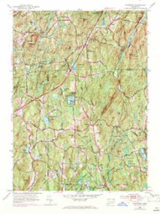
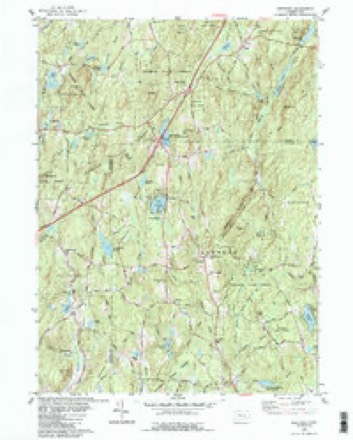
28 topographic sheets cover this place, the earliest surveyed in 1892 and the latest in 1994. It stands in Ashford town. It lies in ZIP code area 06278. It lies near Grass Hill. The Survey maps it on the Westford quadrangle. It stands 702 feet above sea level.
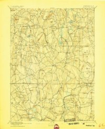
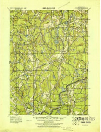
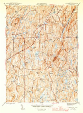
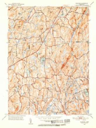
Topographic sheets covering this place
13 surveys from 28 printed sheetsMatched by testing this settlement's coordinate against the published boundary of every sheet in the United States Geological Survey's historical collection. Each opens the scanned sheet at the Survey.
- 1892 USGS Woodstock quadrangle1:62500, 6 printings
- 1921 USGS Woodstock quadrangle1:62500
- 1945 USGS Westford quadrangle1:31680, 2 printings
- 1947 USGS Hartford quadrangle1:250000, 2 printings
- 1948 USGS Hartford quadrangle1:250000, 2 printings
- 1952 USGS Westford quadrangle1:31680, 2 printings
- 1952 USGS Westford quadrangle1:24000, 3 printings
- 1961 USGS Hartford quadrangle1:250000
- 1962 USGS Hartford quadrangle1:250000, 3 printings
- 1965 USGS Hartford quadrangle1:250000, 2 printings
- 1983 USGS Westford quadrangle1:24000
- 1986 USGS Hartford quadrangle1:100000
- 1994 USGS Hartford quadrangle1:100000, 2 printings







In the county-history sources
25,487 words on this townshipHistory of Windham County, Connecticut .., published 1889 names this settlement in its chapter on Ashford Town. These are the passages that mention it, exactly as the scans read.
Messrs. Chandler and Cushing, in behalf of themselves and others, as claimants under the Fitch title, appealed to the general court May 8th, 1718, for a confirmation of their title. That body also, about a year later, heard the representation of the Ashford proprietors in defense of their action, they also asking for confirmation. The general court then appointed a commiittee, composed of James Wadsworth, John Hooker, Captain John Hall and Hezekiah Brainard to investigate the matter. They met for that purpose at Ashford, September 9th, 1719. The question of the rights of the adjoining towns of Windham and Mansfield, which were claimed to have been encroached upon by the survey of Ashford, was also involved in the investigation, but to the committee there appeared in that claim no cause of action. The investigation resulted in a settlement of the controversy as follows: As to the New Scituate claimants, Chandler, Cushing, Clapp and others, all persons holding as inhabitants on lands claimed by them, should within one yearpay three pounds per hundred acres for what they held, except those persons who had purchased lands directly of them, previous to the asstimp- tion of the town inhabitants or proprietors; the Reverend James Hale was to have free the two hundred acres upon which he had built; sixty acres near the meetinghouse were to be sequestered for the support of the ministry forever; and ten acres where the meeting house then stood were to be set apart for a green or common; all of which should be free of any claim on the part of the previous claimants, who in turn were to hold the remaining lands in their claim without taxation. As to the claim of James Corbin and others a considerable part of their land was already sold to and occupied by about twenty inhabitants, amounting to 10,- 770 acres; it was accordingly agreed that such sales should stand, and of the 6,000 acres still unappropriated in that tract 2,500 acres should be confirmed to Corbin and company, and the remainder was to be sequestered to the common use of the inhabitants. Of the New Scituate tract, which contained 9,600 acres, 5,726 acres had already been appropriated by the inhabitants, and after deducting the reserves for ministers, ministry and common, there remained 3,374 acres to be occupied or disposed of by the claimants.
Passage source: History of Windham County, Connecticut .., published 1889.
An unusual instance of disorder and the subverting of the ends of government appears m the annals of this town, about the years 1721 and 1722. By the act of 1714 an unusual liberty was allowed in the qualification of voters. This was on account of the few inhabitants then in the town. As long as everything was harmonious this liberality in suffrage qualifications gave rise to no difficulty, but at the time spoken of a faction of ignorant and irresponsible men arose with such power' that one Arthur Humphrey, their leader, was elected a selectman, whereupon the other members of that body refused to act, and for a time the affairs of the town were at the mercy of this faction, which opposed all schools, broke up one that had already been established, warned the schoolmaster out of town, prosecuted the refractory selectmen to their great cost and trouble, made a scandalously unjust and imperfect rate list, and by other outrageous acts kept the town in a ferment of agitation. The matter was at length appealed to the assembly, who confirmed the elections thus far had, but ordered that after that time the usual qualifications required of voters in other towns should be required here.
Passage source: History of Windham County, Connecticut .., published 1889.
A full military company was formed in Ashford in 1722, with John Perry for captain, Benjamin Russel for lieutenant and Joshua Kendall for ensign. During these years the people suffered much from Indian alarms, and constant fears stimulated watchfulness to be ready for any outbreak of savage hostility which might appear. Captain Perry proved himself an efficient and courageous officer, and several times furnished the government important information. To prevent as much as possible their approaches under false pretenses Indians were forbidden to hunt in the woods north of the road from Hartford, through Coventry and Ashford, to New Roxbury. A military watch was ordered to be held in Ashford and a scout maintained in the northern part of the town. By these precautions the settlers were protected in a measure, and no disastrous attalk of the Indians was experienced.
Passage source: History of Windham County, Connecticut .., published 1889.
Machine-read from a century-old scan, so expect the errors a machine makes: misspelled names, dropped words, stray characters.
Read the whole chapter on Ashford Town - it names this place 24 more 24 times.
Fires near this place
53 since 1993Regional context, not property-specific evidence. The federal wildfire occurrence database lists 53 fires within 5 miles of Westford between 1993 and 2020, burning about 88 acres in total. None started naturally. 3 were recorded as arson. Distance is straight-line from the map coordinates, so a fire counted here may appear on a neighbouring settlement's page as well.
| Reported cause | Fires |
|---|---|
| Missing data/not specified/undetermined | 41 |
| Debris and open burning | 4 |
| Smoking | 3 |
| Arson/incendiarism | 3 |
| Recreation and ceremony | 2 |
The most recent of them, most recent first, with the day each was reported and the service that recorded it.
| Date | Cause | Size | Reported by | Name on the report |
|---|---|---|---|---|
| 23 August 2008 | Missing data/not specified/undetermined | under an acre | Connecticut Division of Forestry | not named |
| 17 August 2020 | Missing data/not specified/undetermined | under an acre | Connecticut Division of Forestry | 13 BUELL DRIVE |
| 9 June 2016 | Missing data/not specified/undetermined | under an acre | Connecticut Division of Forestry | 57 UNION RD, EASTFORD CT |
| 27 June 2016 | Missing data/not specified/undetermined | under an acre | Connecticut Division of Forestry | RUBY RD |
| 22 June 1999 | Recreation and ceremony | under an acre | Connecticut Division of Forestry | not named |
| 17 June 2020 | Missing data/not specified/undetermined | under an acre | Connecticut Division of Forestry | I-84 EAST BOUND REST AREA |
| 21 May 2008 | Debris and open burning | under an acre | Connecticut Division of Forestry | not named |
| 15 May 2015 | Missing data/not specified/undetermined | under an acre | Connecticut Division of Forestry | not named |
Settlements close enough to share some of these fires:
Mines and quarries near this place
2 within 5 milesRegional context, not property-specific evidence. The federal mineral resources record lists 2 workings within 5 miles of Westford: 2 past producers. None of them still produces. What was taken out: Sand and Gravel, Construction, Graphite. Distance is straight-line from the map coordinates, so a quarry counted here may appear on a neighbouring settlement's page as well.
| Where | Site | Commodity | Status | Recorded |
|---|---|---|---|---|
| Lead Hill Mine Graphite Deposits | Graphite | Past Producer | ||
| Willington Town Pit | Sand and Gravel, Construction | Past Producer |
Nearest settlements
The eight closest, with where each one stands in the county. Distances are straight-line, computed from the Geographic Names Information System coordinates.
| Map | Place | Distance | Sheets |
|---|---|---|---|
| Lake Chaffee | 1.7 miles | 28 | |
| Warrenville | 4.0 miles | 29 | |
| Ashford | 4.4 miles | 28 | |
| West Ashford | 4.4 miles | 29 | |
| North Ashford | 4.4 miles | 28 | |
| Kenyonville | 5.0 miles | 28 | |
| Eastford | 5.3 miles | 28 | |
| Phoenixville | 5.6 miles | 28 |
Elsewhere
Matched on this settlement's Geographic Names Information System number rather than its name, so it cannot be a different place of the same name in another state.
| Wikidata item Q123503665 | The structured record the population and elevation above come from. Public domain (CC0). |
Provenance
This settlement is recorded in the Geographic Names Information System as feature 212017. The sheet list is computed by point-in-boundary test against the United States Geological Survey's historical topographic inventory. Both are works of the United States government and carry no copyright under 17 U.S.C. 105.
Wildfire. Short, Karen C. 2022. Spatial wildfire occurrence data for the United States, 1992-2020 [FPA_FOD_20221014]. 6th Edition. Fort Collins, CO: Forest Service Research Data Archive. https://doi.org/10.2737/RDS-2013-0009.6 Collected with United States Government funding and usable without additional permissions or fees.
Mines and quarries. USGS Mineral Resources Data System (MRDS) https://mrdata.usgs.gov/mrds/ A work of the United States government, no copyright under 17 U.S.C. 105.