 Block
North Woodstock, Connecticut
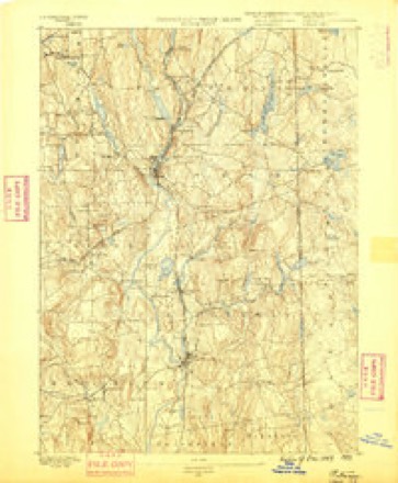
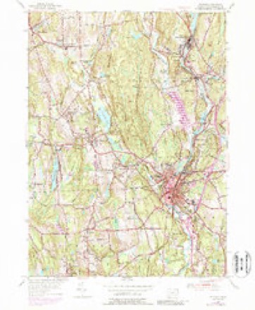
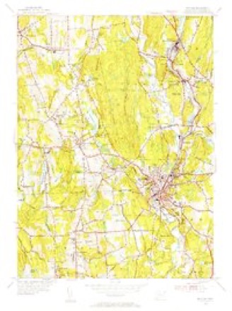
29 topographic sheets cover this place, the earliest surveyed in 1889 and the latest in 1984. It stands in Woodstock town. It lies in ZIP code area 06281. It lies near Peregrine White Hill. The Survey maps it on the Putnam quadrangle.
Topographic sheets covering this place
13 surveys from 29 printed sheetsMatched by testing this settlement's coordinate against the published boundary of every sheet in the United States Geological Survey's historical collection. Each opens the scanned sheet at the Survey.
- 1889 USGS Putnam quadrangle1:62500
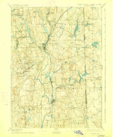
- 1893 USGS Putnam quadrangle1:62500, 8 printings
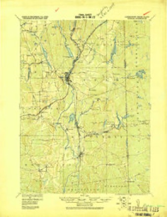
- 1919 USGS Putnam quadrangle1:62500
- 1943 USGS Putnam quadrangle1:125000
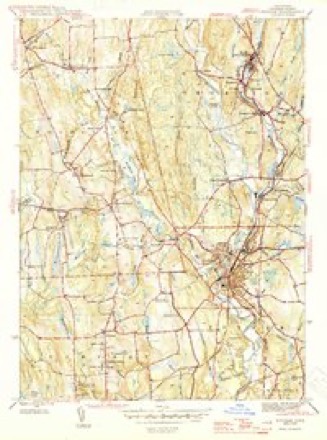
- 1945 USGS Putnam quadrangle1:31680, 2 printings
- 1947 USGS Providence quadrangle1:250000, 5 printings
- 1948 USGS Providence quadrangle1:250000
- 1955 USGS Putnam quadrangle1:24000, 5 printings
- 1955 USGS Putnam quadrangle1:31680
- 1957 USGS Providence quadrangle1:250000
- 1958 USGS Providence quadrangle1:250000
- 1963 USGS Providence quadrangle1:250000
- 1984 USGS Providence quadrangle1:100000







In the county-history sources
50,238 words on this townshipHistory of Windham County, Connecticut .., published 1889 names this settlement in its chapter on Woodstock Town. These are the passages that mention it, exactly as the scans read.
The report of Major Daniel Gookin, "magistrate over the Praying Indians," of Mr. Eliot's tour among these Indians in 1674, enables us to see them as with our own eyes. With five or six godly persons and a number of Indian guides and followers, they visited the new "Praying Towns" planted by Eliot's missionaries. After spending the night at Chaubunakongkoifiuk (near Dudley), where Sampson's brother Joseph was teacher, they proceeded in the morning to Myanexet, " west of a fresh river called Mohegan " (now New Boston) where a village had been gathered. To these twenty families with others Mr. Eliot preached in the Indian tongue from the of Glory shall come in," words which a swift messenger bore with all speed to the king of darkness at Mohegan. John Moqua, a pious and sober person, was presented to the people to be their minister, and a suitable psalm read by him was sung by the assembly. After a closing prayer the missionary band proceeded on their way, following the Connecticut Path, the main thoroughfare of travel between the colonies, for a part of the journey, diverging thence by Indian trail to the Wabbaquasset settlement. " Late in the evening," September 15th, they reached the sagamore's famous wigwam, sixty feet in length and twenty feet in width. The chief was absent, but his squaw received them courteously, and provided liberally in Indian fashion for their followers. The "active and ingenius" Sampson, rejoicing in the fruit of his labors, must have given them a hearty welcome, and " divers of the principal people that were at home " came to the wigwam, with whom they " spent a good part of the night in prayer, singing psalms and exhortations."
Passage source: History of Windham County, Connecticut .., published 1889.
Prayer closed the religious exercises, and then a civil service was enacted. Law following the Gospel presentation on this occasion, Gookin as magistrate, representing the authority of Massachusetts Bay, laid down the rules of civil government, confirming Sampson as public teacher, and Black James of Chau-
Passage source: History of Windham County, Connecticut .., published 1889.
At the town meeting in 1807, John McClellan, Esq., served as moderator. Jedidiah Morse still retained the position of town clerk and treasurer; selectmen, John McClellan, Captains Luther Baldwin, William May and Jedidiah Kimball, and Deacon Stephen Johnson ; constables, David Frizzell, Parker Morse, Amasa Lyon ; grand jurors, Henry Welles, Thomas Corbin, Captain Asa Child, Darius Barlow ; listers, David Frizzell, William Lyon, Darius Barlow, Doctor Haviland Morris, Captains Carpenter Bradford, Aaron Child and Judah Lyon ; pound keepers, William Flynn, Roswell Ledoyt, Chester May; tavern keepers, Wil-
Passage source: History of Windham County, Connecticut .., published 1889.
Machine-read from a century-old scan, so expect the errors a machine makes: misspelled names, dropped words, stray characters.
Read the whole chapter on Woodstock Town - it names this place 9 more 9 times.
Fires near this place
74 since 1992Regional context, not property-specific evidence. The federal wildfire occurrence database lists 74 fires within 5 miles of North Woodstock between 1992 and 2020, burning about 49 acres in total. 1 started naturally. 3 were recorded as arson. Distance is straight-line from the map coordinates, so a fire counted here may appear on a neighbouring settlement's page as well.
| Reported cause | Fires |
|---|---|
| Missing data/not specified/undetermined | 48 |
| Recreation and ceremony | 9 |
| Debris and open burning | 9 |
| Arson/incendiarism | 3 |
| Power generation/transmission/distribution | 2 |
| Misuse of fire by a minor | 1 |
| Natural | 1 |
| Railroad operations and maintenance | 1 |
The most recent of them, most recent first, with the day each was reported and the service that recorded it.
| Date | Cause | Size | Reported by | Name on the report |
|---|---|---|---|---|
| 22 September 2020 | Missing data/not specified/undetermined | under an acre | Connecticut Division of Forestry | 11 HOLMES STREET |
| 26 August 1995 | Arson/incendiarism | under an acre | Connecticut Division of Forestry | not named |
| 3 July 2016 | Missing data/not specified/undetermined | under an acre | Connecticut Division of Forestry | 832 ROUTE 169, WOODSTOCK |
| 14 July 1995 | Natural | 3.0 acres | Connecticut Division of Forestry | not named |
| 14 June 2016 | Missing data/not specified/undetermined | under an acre | Connecticut Division of Forestry | 1791 ROUTE 197, WOODSTOCK |
| 9 May 2007 | Missing data/not specified/undetermined | under an acre | Connecticut Division of Forestry | not named |
| 8 May 1995 | Arson/incendiarism | 3.0 acres | Connecticut Division of Forestry | not named |
| 7 May 2015 | Missing data/not specified/undetermined | 4.0 acres | Connecticut Division of Forestry | not named |
Settlements close enough to share some of these fires:
Mines and quarries near this place
5 within 5 milesRegional context, not property-specific evidence. The federal mineral resources record lists 5 workings within 5 miles of North Woodstock: 5 past producers. None of them still produces. What was taken out: Sand and Gravel, Construction, Iron. Distance is straight-line from the map coordinates, so a quarry counted here may appear on a neighbouring settlement's page as well.
| Where | Site | Commodity | Status | Recorded |
|---|---|---|---|---|
| Bog Iron Mine | Iron | Past Producer | ||
| Kappys Gravel Pit | Sand and Gravel, Construction | Past Producer | ||
| Kaprys Gravel Pit | Sand and Gravel, Construction | Past Producer | Sedimentary | |
| Thompson Pit | Sand and Gravel, Construction | Past Producer | Sedimentary | |
| Thompson Pit | Sand and Gravel, Construction | Past Producer |
Storms near this place
3 since 2018Regional context, not property-specific evidence. The National Weather Service names North Woodstock in 3 storm reports between 2018 and 2023: 1 tornado, 1 thunderstorm wind, 1 hail. No death or injury is recorded in these reports. Each account below is quoted exactly as the forecast office filed it, from the NOAA Storm Events Database, and each date opens the federal record of that event.
| When | Event | Place named | Harm | What the report says |
|---|---|---|---|---|
| July 2021 | Thunderstorm Wind | North Woodstock | $1,000 | In Woodstock, multiple trees were down on Brickyard Road. |
| June 2023 | Hail | North Woodstock | - | In Woodstock at 438 PM EDT (338 PM EST), a trained spotter reported nickel size hail. |
| August 2018 | Tornado (EF0) | North Woodstock | - | An EF-0 tornado, with wind speeds estimated at 80 mph, touched down on Redhead Hill Road in northern Woodstock and traveled just over 5 miles on a discontinuous path before lifting up in the Quinebaug portion of Thompson. It was only 8 yards wide. It sliced a single, healthy oak tree in half and flattened small portions of two separate corn fields on Redhead Hill Road in Woodstock. The corn was laid down in differenet directions. A woman saw swirling of trees and other debris as it occurred, despite it being enshrouded in rain. Isolated tree damage also was spotted on Watson Road, near Green Acres Lane, in Quinebaug. The tornado lasted from 936 AM EDT to 945 AM EDT. |
Nearest settlements
The eight closest, with where each one stands in the county. Distances are straight-line, computed from the Geographic Names Information System coordinates.
| Map | Place | Distance | Sheets |
|---|---|---|---|
| East Woodstock | 1.1 miles | 29 | |
| Woodstock | 3.1 miles | 29 | |
| Quinebaug | 3.4 miles | 42 | |
| Fabyan | 3.4 miles | 42 | |
| Roseland Park | 3.5 miles | 29 | |
| West Woodstock | 3.6 miles | 28 | |
| South Woodstock | 4.1 miles | 29 | |
| Lake Bungee | 4.3 miles | 28 |
Provenance
This settlement is recorded in the Geographic Names Information System as feature 212531. The sheet list is computed by point-in-boundary test against the United States Geological Survey's historical topographic inventory. Both are works of the United States government and carry no copyright under 17 U.S.C. 105.
Wildfire. Short, Karen C. 2022. Spatial wildfire occurrence data for the United States, 1992-2020 [FPA_FOD_20221014]. 6th Edition. Fort Collins, CO: Forest Service Research Data Archive. https://doi.org/10.2737/RDS-2013-0009.6 Collected with United States Government funding and usable without additional permissions or fees.
Mines and quarries. USGS Mineral Resources Data System (MRDS) https://mrdata.usgs.gov/mrds/ A work of the United States government, no copyright under 17 U.S.C. 105.
Storms. NOAA National Centers for Environmental Information, Storm Events Database https://www.ncei.noaa.gov/stormevents/ A work of the United States government, no copyright under 17 U.S.C. 105. Narratives are quoted verbatim from the National Weather Service report and are not edited or summarised.