 Block
East Woodstock, Connecticut
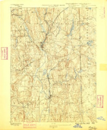
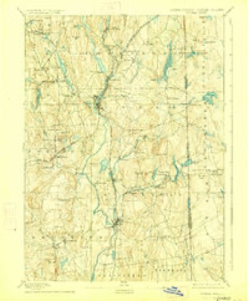
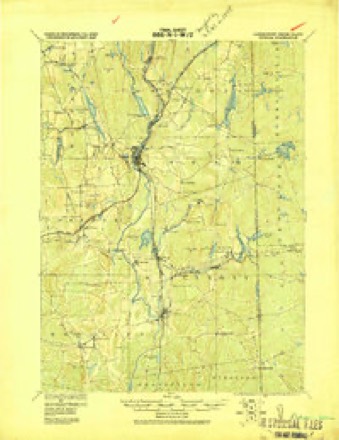
29 topographic sheets cover this place, the earliest surveyed in 1889 and the latest in 1984. It stands in Woodstock town. It lies in ZIP code area 06281. It stands on Gravelly Brook. The Survey maps it on the Putnam quadrangle. It stands 358 feet above sea level.
On record in East Woodstock
Buildings and businesses the archive holds for this place. Each opens its own page, with the source record it came from.
On the National Register 1 record
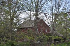 Capt. Seth Chandler Houselisted 1993
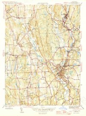
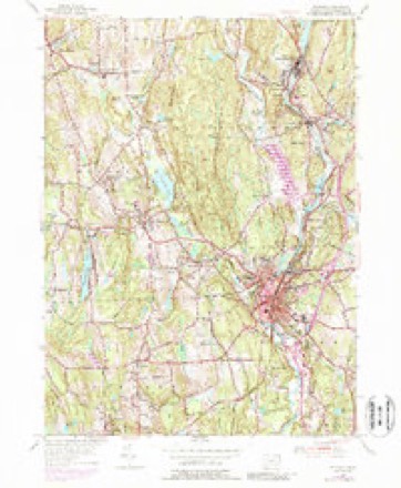
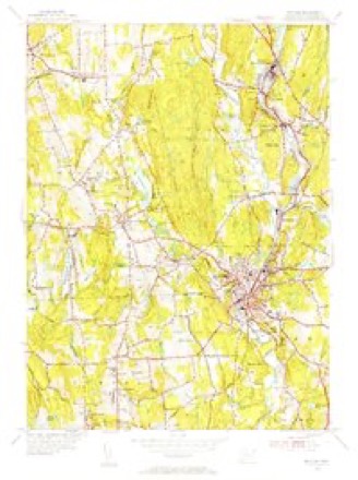
Topographic sheets covering this place
13 surveys from 29 printed sheetsMatched by testing this settlement's coordinate against the published boundary of every sheet in the United States Geological Survey's historical collection. Each opens the scanned sheet at the Survey.
- 1889 USGS Putnam quadrangle1:62500
- 1893 USGS Putnam quadrangle1:62500, 8 printings
- 1919 USGS Putnam quadrangle1:62500
- 1943 USGS Putnam quadrangle1:125000
- 1945 USGS Putnam quadrangle1:31680, 2 printings
- 1947 USGS Providence quadrangle1:250000, 5 printings
- 1948 USGS Providence quadrangle1:250000
- 1955 USGS Putnam quadrangle1:24000, 5 printings
- 1955 USGS Putnam quadrangle1:31680
- 1957 USGS Providence quadrangle1:250000
- 1958 USGS Providence quadrangle1:250000
- 1963 USGS Providence quadrangle1:250000
- 1984 USGS Providence quadrangle1:100000







In the county-history sources
50,238 words on this townshipHistory of Windham County, Connecticut .., published 1889 names this settlement in its chapter on Woodstock Town. These are the passages that mention it, exactly as the scans read.
In the following year the church was organized, by a council of Massachusetts churches, and Reverend Josiah Dwight ordained and installed as its pastor. Unfortunately, all record of its formation is lacking, but undoubtedly its members were mostly dismissed from the mother church of Roxbury, with which they had maintained connection. John Chandler, Sr., and Benjamin
Passage source: History of Windham County, Connecticut .., published 1889.
In 1710 a new division of land was surveyed and laid out by Captain John Chandler; eighty acres for a twenty acre right, and other rights in proportion were allowed to each holder of original lots, each proprietor drawing in turn his allotment. It was voted, " That the lands still undivided oh the east end of the town shall abide as common land forever or till the town dispose of them." Another division was also made in Roxbury's half, " all conformable " to the previous laying out of John Butcher in parallel ranges, with highways between. This division was not completed and distributed till September, 1715, at which date Roxbury's right in Woodstock passed into the hands of individual owners. During this year the western part of the south half was laid out in four ranges, running from north to south, and distributed among the proprietors. Massachusetts' southern boundary, which had caused so much contention and trouble, was now rectified, but by the terms of the agreement she was allowed to retain jurisdiction over the towns she had settled. Woodstock, although within Connecticut's patent lines, was thusleft appended to the Bay colony.
Passage source: History of Windham County, Connecticut .., published 1889.
At the town meeting in 1807, John McClellan, Esq., served as moderator. Jedidiah Morse still retained the position of town clerk and treasurer; selectmen, John McClellan, Captains Luther Baldwin, William May and Jedidiah Kimball, and Deacon Stephen Johnson ; constables, David Frizzell, Parker Morse, Amasa Lyon ; grand jurors, Henry Welles, Thomas Corbin, Captain Asa Child, Darius Barlow ; listers, David Frizzell, William Lyon, Darius Barlow, Doctor Haviland Morris, Captains Carpenter Bradford, Aaron Child and Judah Lyon ; pound keepers, William Flynn, Roswell Ledoyt, Chester May; tavern keepers, Wil-
Passage source: History of Windham County, Connecticut .., published 1889.
Machine-read from a century-old scan, so expect the errors a machine makes: misspelled names, dropped words, stray characters.
Read the whole chapter on Woodstock Town - it names this place 16 more 16 times.
Fires near this place
80 since 1992Regional context, not property-specific evidence. The federal wildfire occurrence database lists 80 fires within 5 miles of East Woodstock between 1992 and 2020, burning about 65 acres in total. 1 started naturally. 4 were recorded as arson. Distance is straight-line from the map coordinates, so a fire counted here may appear on a neighbouring settlement's page as well.
| Reported cause | Fires |
|---|---|
| Missing data/not specified/undetermined | 53 |
| Recreation and ceremony | 10 |
| Debris and open burning | 8 |
| Arson/incendiarism | 4 |
| Power generation/transmission/distribution | 2 |
| Misuse of fire by a minor | 1 |
| Natural | 1 |
| Railroad operations and maintenance | 1 |
The most recent of them, most recent first, with the day each was reported and the service that recorded it.
| Date | Cause | Size | Reported by | Name on the report |
|---|---|---|---|---|
| 22 September 2020 | Missing data/not specified/undetermined | under an acre | Connecticut Division of Forestry | 11 HOLMES STREET |
| 20 September 2020 | Missing data/not specified/undetermined | 3.5 acres | Connecticut Division of Forestry | 78 ROCK AVE |
| 19 September 2020 | Missing data/not specified/undetermined | 2.0 acres | Connecticut Division of Forestry | 1017 RIVERSIDE DRIVE |
| 19 September 2020 | Missing data/not specified/undetermined | 1.0 acres | Connecticut Division of Forestry | 1175 RIVERSIDE DRIVE |
| 26 August 1995 | Arson/incendiarism | under an acre | Connecticut Division of Forestry | not named |
| 3 July 2016 | Missing data/not specified/undetermined | under an acre | Connecticut Division of Forestry | 832 ROUTE 169, WOODSTOCK |
| 28 July 2016 | Missing data/not specified/undetermined | under an acre | Connecticut Division of Forestry | 1405 RIVERSIDE DR, THOMPSON |
| 27 July 2020 | Recreation and ceremony | 5.0 acres | Connecticut Division of Forestry | RIVERSIDE DRIVE |
Settlements close enough to share some of these fires:
Mines and quarries near this place
5 within 5 milesRegional context, not property-specific evidence. The federal mineral resources record lists 5 workings within 5 miles of East Woodstock: 5 past producers. None of them still produces. What was taken out: Sand and Gravel, Construction, Iron. Distance is straight-line from the map coordinates, so a quarry counted here may appear on a neighbouring settlement's page as well.
| Where | Site | Commodity | Status | Recorded |
|---|---|---|---|---|
| Bog Iron Mine | Iron | Past Producer | ||
| Kappys Gravel Pit | Sand and Gravel, Construction | Past Producer | ||
| Kaprys Gravel Pit | Sand and Gravel, Construction | Past Producer | Sedimentary | |
| Thompson Pit | Sand and Gravel, Construction | Past Producer | Sedimentary | |
| Thompson Pit | Sand and Gravel, Construction | Past Producer |
Storms near this place
1 since 2023Regional context, not property-specific evidence. The National Weather Service names East Woodstock in 1 storm report in 2023: 1 thunderstorm wind. No death or injury is recorded in these reports. Each account below is quoted exactly as the forecast office filed it, from the NOAA Storm Events Database, and each date opens the federal record of that event.
| When | Event | Place named | Harm | What the report says |
|---|---|---|---|---|
| September 2023 | Thunderstorm Wind | East Woodstock | $2,000 | In Woodstock, there were several trees down on Dugg Hill Rd. |
Nearest settlements
The eight closest, with where each one stands in the county. Distances are straight-line, computed from the Geographic Names Information System coordinates.
| Map | Place | Distance | Sheets |
|---|---|---|---|
| North Woodstock | 1.1 miles | 29 | |
| Woodstock | 2.4 miles | 29 | |
| Roseland Park | 2.6 miles | 29 | |
| Fabyan | 2.9 miles | 42 | |
| Quinebaug | 3.1 miles | 42 | |
| South Woodstock | 3.2 miles | 29 | |
| West Woodstock | 4.1 miles | 28 | |
| North Grosvenor Dale | 4.2 miles | 29 |
Elsewhere
Matched on this settlement's Geographic Names Information System number rather than its name, so it cannot be a different place of the same name in another state.
| Wikidata item Q123205246 | The structured record the population and elevation above come from. Public domain (CC0). |
Provenance
This settlement is recorded in the Geographic Names Information System as feature 206870. The sheet list is computed by point-in-boundary test against the United States Geological Survey's historical topographic inventory. Both are works of the United States government and carry no copyright under 17 U.S.C. 105.
Wildfire. Short, Karen C. 2022. Spatial wildfire occurrence data for the United States, 1992-2020 [FPA_FOD_20221014]. 6th Edition. Fort Collins, CO: Forest Service Research Data Archive. https://doi.org/10.2737/RDS-2013-0009.6 Collected with United States Government funding and usable without additional permissions or fees.
Mines and quarries. USGS Mineral Resources Data System (MRDS) https://mrdata.usgs.gov/mrds/ A work of the United States government, no copyright under 17 U.S.C. 105.
Storms. NOAA National Centers for Environmental Information, Storm Events Database https://www.ncei.noaa.gov/stormevents/ A work of the United States government, no copyright under 17 U.S.C. 105. Narratives are quoted verbatim from the National Weather Service report and are not edited or summarised.