 Block
Roseland Park, Connecticut
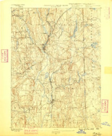
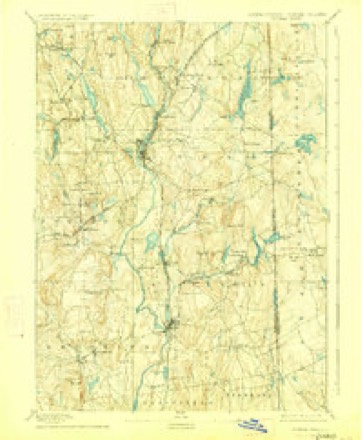
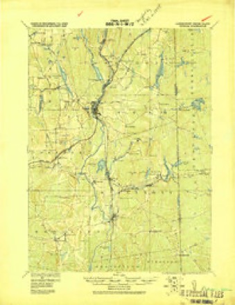
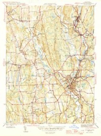
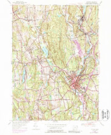
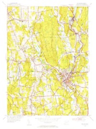
29 topographic sheets cover this place, the earliest surveyed in 1889 and the latest in 1984. It stands in Woodstock town. It lies in ZIP code area 06281. It stands on Muddy Brook. The Survey maps it on the Putnam quadrangle.
On record in Roseland Park
Buildings and businesses the archive holds for this place. Each opens its own page, with the source record it came from.
On the National Register within a mile 2 records
The National Register names another town for these. They stand within one mile of this settlement's coordinate.
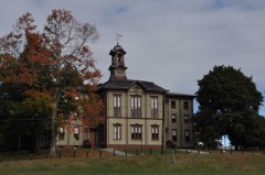 Woodstock Academy Classroom Buildinglisted 1984 · 1.0 miles away
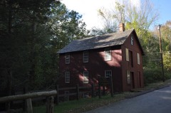 Brayton Grist Milllisted 1986 · 1.0 miles away
Topographic sheets covering this place
13 surveys from 29 printed sheetsMatched by testing this settlement's coordinate against the published boundary of every sheet in the United States Geological Survey's historical collection. Each opens the scanned sheet at the Survey.
- 1889 USGS Putnam quadrangle1:62500
- 1893 USGS Putnam quadrangle1:62500, 8 printings
- 1919 USGS Putnam quadrangle1:62500
- 1943 USGS Putnam quadrangle1:125000
- 1945 USGS Putnam quadrangle1:31680, 2 printings
- 1947 USGS Providence quadrangle1:250000, 5 printings
- 1948 USGS Providence quadrangle1:250000
- 1955 USGS Putnam quadrangle1:24000, 5 printings
- 1955 USGS Putnam quadrangle1:31680
- 1957 USGS Providence quadrangle1:250000
- 1958 USGS Providence quadrangle1:250000
- 1963 USGS Providence quadrangle1:250000
- 1984 USGS Providence quadrangle1:100000







In the county-history sources
50,238 words on this townshipHistory of Windham County, Connecticut, published 1880; History of Windham County, Connecticut .., published 1889 names this settlement in its chapter on Woodstock Town. These are the passages that mention it, exactly as the scans read.
D, J, K, Twenty-first Regiment, Company G, Twenty-sixth. Addison G. Warner, Putnam, having recruited more than a hundred men for the First Cavalry, was commissioned captain, January, 1864. Windham also furnished recruits for the artillery and other regiments, and paid her proportion for the colored regiments, promptly fulBlling from first
Passage source: History of Windham County, Connecticut, published 1880.
Revolt from Massachusetts was soon followed by a protracted ecclesiastic conflict, resulting likewise in secession and separation. Both controversies sprung from the same germ - the inherent antagonism between the two colonies. Those citizens who favored Massachusetts government and ideas adhered faithfully to the Cambridge platform and principles, upon which the first church in Woodstock was founded, while the especial friends of Mr. Stiles, advocates for the new departure, had imbibed some portion of his regard'for the Saybrook platform and religious establishment of Connecticut. Mr. Stiles' request to attend the meetings of the Windham County Association of ministers, " purely for his own information and satisfaction," aroused suspicion and uneasiness in the first years of his ministry. These difficulties had so increased that in 1752 a council was held, in which nine specific points of grievance were brought forward, discussed and carefully adjusted. Yet notwithstanding this amicable settlement, old fires were rekindled by the " amazing conduct" of Mr. Stiles in introducing a covenant, embodying as he claimed the substance of the Cambridge platform, and without proper warning or discussion, declaring its adoption upon the subscription of himself and a small number of the brethren. A large number of church members protested earnestly against this imposition , and positively refused to submit to it. Attempts to compound the difference were wholly fruitless, and after a few months of wrangling the opposition withdrew from Mr. Stiles' preaching, and held meetings by themselves. In 1756 the aggrieved party - twenty-three brethren and twenty-one sisters - by the advice of an ecclesiastic council, formally " re-assumed in church state on the ancient basis of the church, whereof we stand members," and were declared by the council " a church in regular form, according to the usual method."
Passage source: History of Windham County, Connecticut .., published 1889.
Reverend Mr. Graves died in 1813, and was succeeded by Samuel Backus, of Canterbury, ordained January 19th, 1815. A very remarkable revival was soon experienced by the church, adding some two hundred within two years to its membership. Mr. Backus was pre-eminently a man of faith and prayer, and though moderate in discourse, made deep impression upon the heart. He organized a Bible class of seventy-five members, of whom fifty-nine came into the church at one communion. A very effective Sabbath school was begun in 1818. The deacons up to this date had been Caleb May, Nehemiah Lyon, Elisha Child, Charles Child, Aaron Lyon, Nathaniel Briggs. William Child was chosen in 1819; Luther Child in 1824. Additional funeral superintendents were Oliver Morse, Alduce Penniman, Ezra Child, William Child, Penuel May and John Fowler.
Passage source: History of Windham County, Connecticut .., published 1889.
Machine-read from a century-old scan, so expect the errors a machine makes: misspelled names, dropped words, stray characters.
Read the whole chapter on Woodstock Town - it names this place 3 more 3 times.
Fires near this place
163 since 1992Regional context, not property-specific evidence. The federal wildfire occurrence database lists 163 fires within 5 miles of Roseland Park between 1992 and 2020, burning about 311 acres in total. 1 started naturally. 6 were recorded as arson. Distance is straight-line from the map coordinates, so a fire counted here may appear on a neighbouring settlement's page as well.
| Reported cause | Fires |
|---|---|
| Missing data/not specified/undetermined | 107 |
| Recreation and ceremony | 18 |
| Debris and open burning | 14 |
| Misuse of fire by a minor | 11 |
| Arson/incendiarism | 6 |
| Smoking | 2 |
| Equipment and vehicle use | 2 |
| Natural | 1 |
| Railroad operations and maintenance | 1 |
| Power generation/transmission/distribution | 1 |
The most recent of them, most recent first, with the day each was reported and the service that recorded it.
| Date | Cause | Size | Reported by | Name on the report |
|---|---|---|---|---|
| 22 September 2020 | Missing data/not specified/undetermined | under an acre | Connecticut Division of Forestry | 11 HOLMES STREET |
| 20 September 2020 | Missing data/not specified/undetermined | 3.5 acres | Connecticut Division of Forestry | 78 ROCK AVE |
| 19 September 2020 | Missing data/not specified/undetermined | 2.0 acres | Connecticut Division of Forestry | 1017 RIVERSIDE DRIVE |
| 19 September 2020 | Missing data/not specified/undetermined | 1.0 acres | Connecticut Division of Forestry | 1175 RIVERSIDE DRIVE |
| 7 August 2020 | Missing data/not specified/undetermined | under an acre | Connecticut Division of Forestry | I395 S EX47 |
| 5 August 2020 | Missing data/not specified/undetermined | under an acre | Connecticut Division of Forestry | 631 POMFRET STREET |
| 4 August 1993 | Equipment and vehicle use | 5.0 acres | Connecticut Division of Forestry | not named |
| 26 August 1995 | Arson/incendiarism | under an acre | Connecticut Division of Forestry | not named |
Settlements close enough to share some of these fires:
Mines and quarries near this place
5 within 5 milesRegional context, not property-specific evidence. The federal mineral resources record lists 5 workings within 5 miles of Roseland Park: 4 past producers, 1 producer. 1 still produces. What was taken out: Sand and Gravel, Construction. Distance is straight-line from the map coordinates, so a quarry counted here may appear on a neighbouring settlement's page as well.
| Where | Site | Commodity | Status | Recorded |
|---|---|---|---|---|
| Kappys Gravel Pit | Sand and Gravel, Construction | Past Producer | ||
| Kaprys Gravel Pit | Sand and Gravel, Construction | Past Producer | Sedimentary | |
| Thompson Pit | Sand and Gravel, Construction | Past Producer | Sedimentary | |
| Thompson Pit | Sand and Gravel, Construction | Past Producer | ||
| Townfarm Road Pit | Sand and Gravel, Construction | Producer |
Nearest settlements
The eight closest, with where each one stands in the county. Distances are straight-line, computed from the Geographic Names Information System coordinates.
| Map | Place | Distance | Sheets |
|---|---|---|---|
| South Woodstock | 0.8 miles | 29 | |
| Woodstock | 1.0 miles | 29 | |
| Harrisville | 2.0 miles | 29 | |
| Quasset Lake | 2.4 miles | 29 | |
| West Thompson | 2.4 miles | 29 | |
| East Woodstock | 2.6 miles | 29 | |
| Mechanicsville | 3.4 miles | 29 | |
| Grosvenor Dale | 3.5 miles | 29 |
Provenance
This settlement is recorded in the Geographic Names Information System as feature 210300. The sheet list is computed by point-in-boundary test against the United States Geological Survey's historical topographic inventory. Both are works of the United States government and carry no copyright under 17 U.S.C. 105.
Wildfire. Short, Karen C. 2022. Spatial wildfire occurrence data for the United States, 1992-2020 [FPA_FOD_20221014]. 6th Edition. Fort Collins, CO: Forest Service Research Data Archive. https://doi.org/10.2737/RDS-2013-0009.6 Collected with United States Government funding and usable without additional permissions or fees.
Mines and quarries. USGS Mineral Resources Data System (MRDS) https://mrdata.usgs.gov/mrds/ A work of the United States government, no copyright under 17 U.S.C. 105.