 Block
Oneco, Connecticut
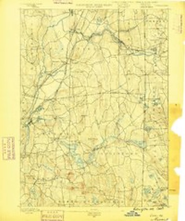
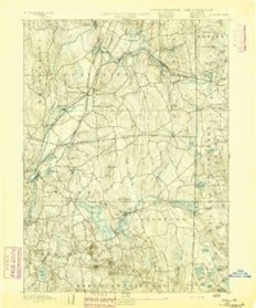
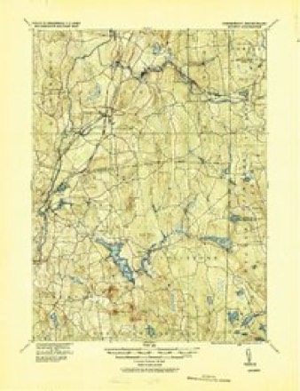
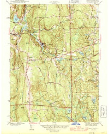
28 topographic sheets cover this place, the earliest surveyed in 1889 and the latest in 1984. It stands in Sterling town. It lies in ZIP code area 06373. It stands on Crooked Brook. The Survey maps it on the Oneco quadrangle. It stands 344 feet above sea level.
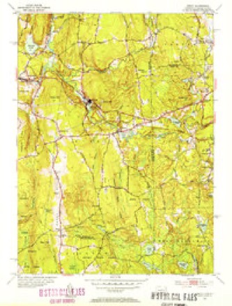
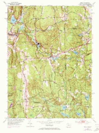
Topographic sheets covering this place
13 surveys from 28 printed sheetsMatched by testing this settlement's coordinate against the published boundary of every sheet in the United States Geological Survey's historical collection. Each opens the scanned sheet at the Survey.
- 1889 USGS Moosup quadrangle1:62500
- 1893 USGS Moosup quadrangle1:62500, 7 printings
- 1920 USGS Moosup quadrangle1:62500
- 1943 USGS Putnam quadrangle1:125000
- 1944 USGS Oneco quadrangle1:31680, 2 printings
- 1947 USGS Providence quadrangle1:250000, 5 printings
- 1948 USGS Providence quadrangle1:250000
- 1953 USGS Oneco quadrangle1:31680, 2 printings
- 1953 USGS Oneco quadrangle1:24000, 4 printings
- 1957 USGS Providence quadrangle1:250000
- 1958 USGS Providence quadrangle1:250000
- 1963 USGS Providence quadrangle1:250000
- 1984 USGS Providence quadrangle1:100000







In the county-history sources
14,025 words on this townshipHistory of Windham County, Connecticut .., published 1889 names this settlement in its chapter on Sterling Town. These are the passages that mention it, exactly as the scans read.
THE township of Sterling occupies the vsoutheast corner of the county, being bounded on the north by Killingly, east by Rhode Island, south by Voluntown (formerly a town of Windham county, but recently transferred to New London county), and west by Plainfiield. The town is nine miles long from north to south, and has an average width of three miles. It is centrally distant from Hartford 49 miles and from New Haven 73 miles. It contains an area of twenty-seven square miles. Much of the land is hilly or swampy. The town is well drained by the Quanduck and Cedar Swamp branches of Moosup river. It contains valuable building stones, which are quarried to some extent. Sterling hill, in the western part, is the original settlement, and occupies an eminence, furnishing a delightful view of the surrounding country. The town is crossed near the center by the Providence Division of the N. Y. & N. E. railroad. Large quantities of railroad ties are cut from the woods of the town. Farming and manufacturing form the industrial interests of the town. Its population at different periods has been : In 1800, 908; in 1840, 1,099 ; 1870, 1,022; 1880, 957. The grand list of the town in 1800 was $20,873 ; in 1847, $11,791 ; in 1857, $13,447; and 1887, $259,263. The number of children between the ages of four and sixteen in 1858 was 280 ; in 1881, 227; and in 1887, 197. The post offices of Sterling, Oneco, Ekonk and North Sterling are in this town.
Passage source: History of Windham County, Connecticut .., published 1889.
Sterling obtained town privileges without the customary struggle. The inconvenience arising from the peculiar elongation of ancient Voluntown was abundantly manifest, and a proposition, April 25th, 1793, to divide into two towns met immediate acceptance. The resolve incorporating the new town was passed May, 1794, as follows:
Passage source: History of Windham County, Connecticut .., published 1889.
Reverend Mr. Dorrance remained pastor of the town ecclesiastic of Voluntown until March 5th, 1771, when, on account of his great age and infirmity, he was relieved. About 1772 an ecclesiastical society was chartered in the south part of Voluntown, and the same year, as we have already seen, a society was also chartered in the north part. The mother church, thus crippled, was unable to settle a pastor, and could with difficulty maintain regular worship. June 30th, 1779, the ancient First Church of Voluntown was reorganized as a Congregational church according to Cambridge Platform, its membership including ten males and sixteen females. The pastoral services of Reverend Mr. Gilmore were then secured, and religious worship was regularly maintained. Near the close of the century, and after the organization of Sterling, the remnant of this ancient church built a house of worship on the line between the towns, so that while the speaker stands upon the platform, one foot may be in Sterling and the other foot in Voluntown. In the last year of the century Reverend Micaiah Porter, who had been pastor of this church for nineteen years, removed and left the people without a shepherd. The weakened congregation now turned to the Baptists, who were strong in the neighborhood, and Elder Amos Crandall, an open communion Baptist, occupied the Line meeting house on alternate Sabbaths for several years, preaching to a small congregation. Still the church was not entirely disbanded. Reverend Elijah Welles, after his dismission from Scotland, labored with it for a year, but without marked success. Worship was kept up in an intermittent fashion for several years by a few brethren. In 1817 an appeal for aid was presented to the Domestic Missionary Society for Connecticut, and this was favorably answered for a time. After nearly thirty years of uncertain existence, this church secured the services of a stated pastor, and Reverend Otis Lane was installed over it October 29th, 1828. Infirm health compelled his removal after a few years, but he was quickly succeeded by Reverend Jacob Allen, installed in October, 1837, who with a brief intermission remained in charge for nearly twenty years. A new meeting house on this site was erected in 1858. At the dedication of this the new pastor. Reverend Charles L. Ayer, was ordained. This dedication of house and ordination of pastor took place January 6th 1859. A new parsonage was obtained, largely through his efforts. He was dismissed October 27th, 1863. Reverend Wil- liam M. Birchard was installed May 4th, 1864, and dismissed March 25th, 1868. Reverend Joseph Ayer, father of Charles L., came here in November, 1868, and after acting some time as stated supply, was installed May 11th, 1870. He was dismissed May 19th, 1875, on his 82d birthday. Reverend Stephen B. Carter served the church as pastor from January 1st, 1876, to December 31st, 1880. John Elderkin, the present pastor, began his labors here in April, 1881. The present house of worship on Ekonk hill was dedicated January 6th, 1859. The house before it occupied the same site, built in 1795 to 1800. A burying ground still marks the spot where the first house of worship stood, about two miles northeast from the present one, on the west side of the road leading from Voluntown to Sterling hill and Oneco. In January, 1889, the church had 33 members.
Passage source: History of Windham County, Connecticut .., published 1889.
Machine-read from a century-old scan, so expect the errors a machine makes: misspelled names, dropped words, stray characters.
Read the whole chapter on Sterling Town - it names this place 14 more 14 times.
Fires near this place
94 since 1994Regional context, not property-specific evidence. The federal wildfire occurrence database lists 94 fires within 5 miles of Oneco between 1994 and 2020, burning about 151 acres in total. None started naturally. 7 were recorded as arson. Distance is straight-line from the map coordinates, so a fire counted here may appear on a neighbouring settlement's page as well.
| Reported cause | Fires |
|---|---|
| Missing data/not specified/undetermined | 59 |
| Debris and open burning | 13 |
| Recreation and ceremony | 7 |
| Arson/incendiarism | 7 |
| Smoking | 3 |
| Misuse of fire by a minor | 3 |
| Equipment and vehicle use | 1 |
| Power generation/transmission/distribution | 1 |
The most recent of them, most recent first, with the day each was reported and the service that recorded it.
| Date | Cause | Size | Reported by | Name on the report |
|---|---|---|---|---|
| 28 September 2011 | Missing data/not specified/undetermined | under an acre | Connecticut Division of Forestry | PLAINFIELD |
| 6 August 2020 | Power generation/transmission/distribution | 2.0 acres | Connecticut Division of Forestry | not named |
| 5 August 2020 | Missing data/not specified/undetermined | 1.0 acres | Connecticut Division of Forestry | 289 STERLING ROAD |
| 5 August 2020 | Missing data/not specified/undetermined | under an acre | Connecticut Division of Forestry | 91 GIBSON LANE |
| 5 August 2007 | Arson/incendiarism | 1.0 acres | Rhode Island Division of Forest Environment | not named |
| 6 July 2010 | Missing data/not specified/undetermined | under an acre | Connecticut Division of Forestry | not named |
| 6 July 2010 | Missing data/not specified/undetermined | under an acre | Connecticut Division of Forestry | not named |
| 4 July 2016 | Missing data/not specified/undetermined | under an acre | Connecticut Division of Forestry | PORTER POND RD / PLAINFIELD PIKE, STERLING |
Settlements close enough to share some of these fires:
Mines and quarries near this place
10 of 12 shownRegional context, not property-specific evidence. The federal mineral resources record lists 12 workings within 5 miles of Oneco: 10 past producers, 2 producers. 2 still produce. What was taken out: Granite, Stone, Crushed/Broken, Flagstone. Distance is straight-line from the map coordinates, so a quarry counted here may appear on a neighbouring settlement's page as well.
| Where | Site | Commodity | Status | Recorded |
|---|---|---|---|---|
| Strouse Brothers Quarry | Flagstone | Past Producer | ||
| Rock of Ages Inc | Stone, Crushed/Broken | Producer | ||
| Strouse Brothers Quarry | Stone, Crushed/Broken | Past Producer | Sedimentary | |
| Bennett Quarries | Granite | Past Producer | ||
| Foster Black Quarry | Granite | Past Producer | ||
| Granite Quarries | Granite | Past Producer | ||
| Granite Quarries | Granite | Past Producer | ||
| Granite Quarry | Granite | Past Producer | ||
| Oneco Quarry | Granite | Past Producer | ||
| R.B. Marriot and Son Quarry | Granite | Past Producer | Granite |
Storms near this place
1 since 2024Regional context, not property-specific evidence. The National Weather Service names Oneco in 1 storm report in 2024: 1 thunderstorm wind. No death or injury is recorded in these reports. Each account below is quoted exactly as the forecast office filed it, from the NOAA Storm Events Database, and each date opens the federal record of that event.
| When | Event | Place named | Harm | What the report says |
|---|---|---|---|---|
| May 2024 | Thunderstorm Wind | Oneco | $2,000 | In Plainfield, four utility poles were blown down and a 5th was snapped at the top on Eknonk Hill Rd. |
Nearest settlements
The eight closest, with where each one stands in the county. Distances are straight-line, computed from the Geographic Names Information System coordinates.
| Map | Place | Distance | Sheets |
|---|---|---|---|
| Sterling | 1.4 miles | 28 | |
| Almyville | 3.5 miles | 28 | |
| Ekonk | 3.9 miles | 28 | |
| Moosup | 4.1 miles | 32 | |
| Central Village | 5.6 miles | 32 | |
| Wauregan Station | 5.7 miles | 32 | |
| Plainfield | 5.8 miles | 32 | |
| Wauregan | 6.4 miles | 32 |
Elsewhere
Matched on this settlement's Geographic Names Information System number rather than its name, so it cannot be a different place of the same name in another state.
| Wikidata item Q121083445 | The structured record the population and elevation above come from. Public domain (CC0). |
Provenance
This settlement is recorded in the Geographic Names Information System as feature 209515. The sheet list is computed by point-in-boundary test against the United States Geological Survey's historical topographic inventory. Both are works of the United States government and carry no copyright under 17 U.S.C. 105.
Wildfire. Short, Karen C. 2022. Spatial wildfire occurrence data for the United States, 1992-2020 [FPA_FOD_20221014]. 6th Edition. Fort Collins, CO: Forest Service Research Data Archive. https://doi.org/10.2737/RDS-2013-0009.6 Collected with United States Government funding and usable without additional permissions or fees.
Mines and quarries. USGS Mineral Resources Data System (MRDS) https://mrdata.usgs.gov/mrds/ A work of the United States government, no copyright under 17 U.S.C. 105.
Storms. NOAA National Centers for Environmental Information, Storm Events Database https://www.ncei.noaa.gov/stormevents/ A work of the United States government, no copyright under 17 U.S.C. 105. Narratives are quoted verbatim from the National Weather Service report and are not edited or summarised.