 Block
BlockFrom the record
7 National Register listings published here, 1 of them a National Historic Landmark.
Sources: the National Register database, National Park Service
66 topographic sheets cover 27 settlements here, and 7 properties are on the National Register of Historic Places.
7 National Register listings published here, 1 of them a National Historic Landmark.
Sources: the National Register database, National Park Service
Every property in this county listed on the National Register of Historic Places, with the year it was listed and the federal nomination document.
| Photograph | Property | Type | Listed | Reference |
|---|---|---|---|---|
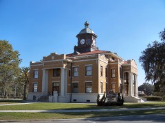 | Citrus County Courthouse, Old | building | 1992 | 92000340 |
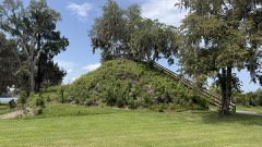 | Crystal River Indian Mounds | site | 1970 | 70000178 |
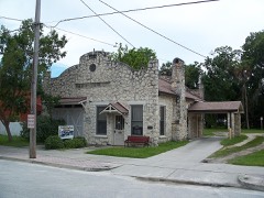 | Crystal River Old City Hall | building | 1998 | 98000588 |
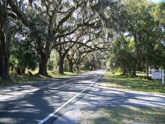 | Floral City Historic District | district | 1993 | 93001357 |
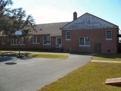 | Hernando Elementary School, Old | building | 2001 | 00001129 |
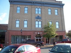 | The Masonic Temple of Citrus, Lodge #18, F. and A.M. | building | 2010 | 10000387 |
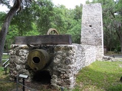 | Yulee Sugar Mill Ruins | structure | 1970 | 70000179 |
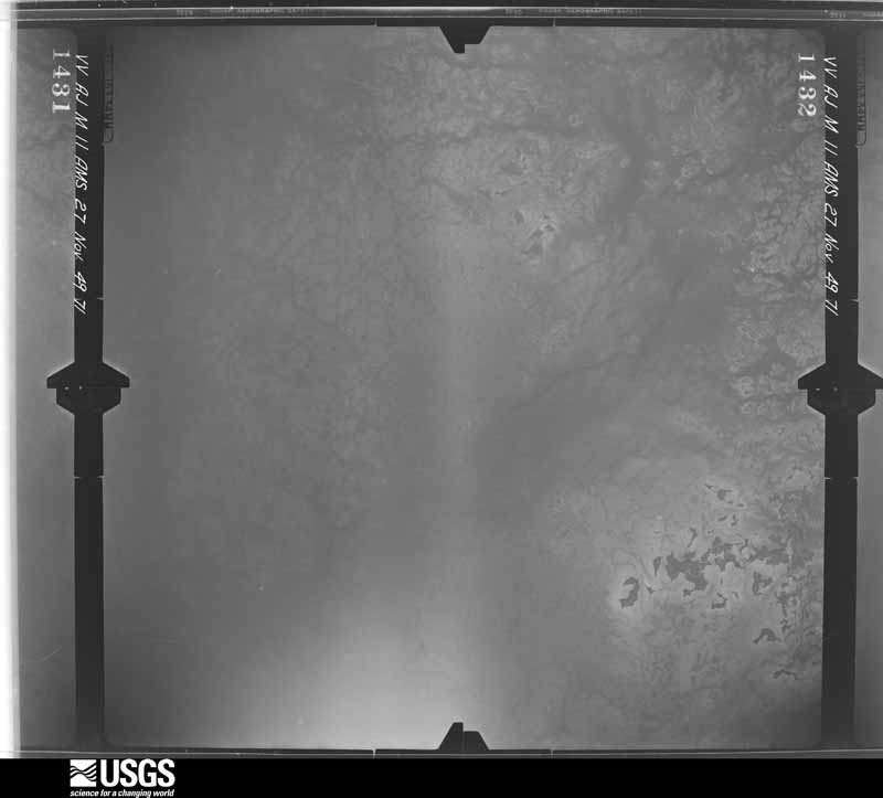
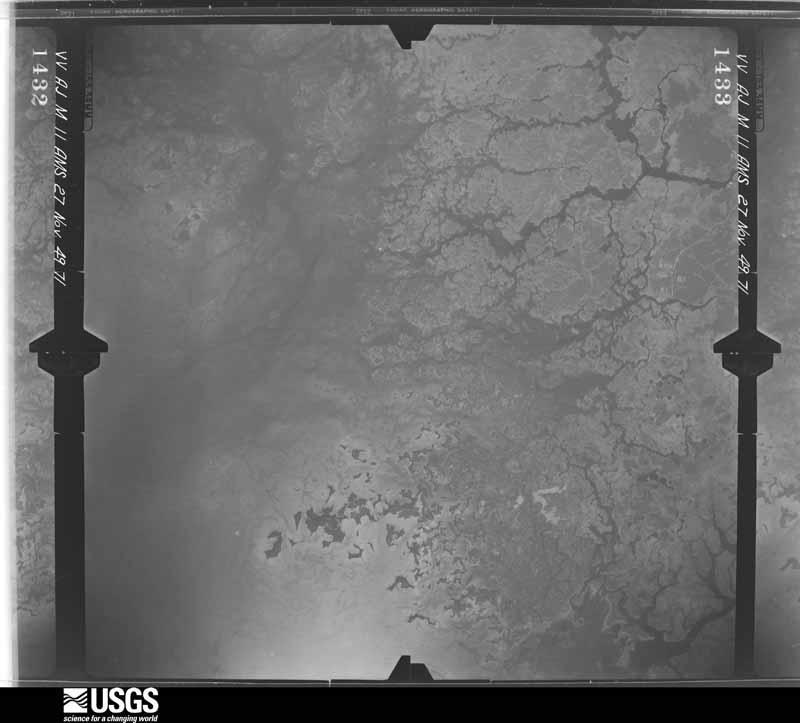
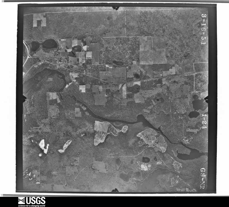
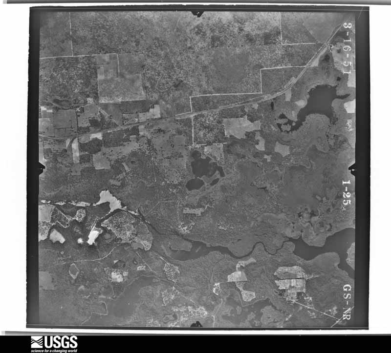
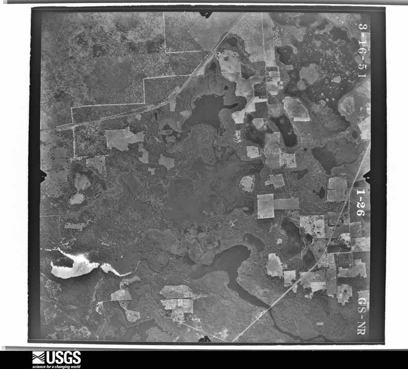
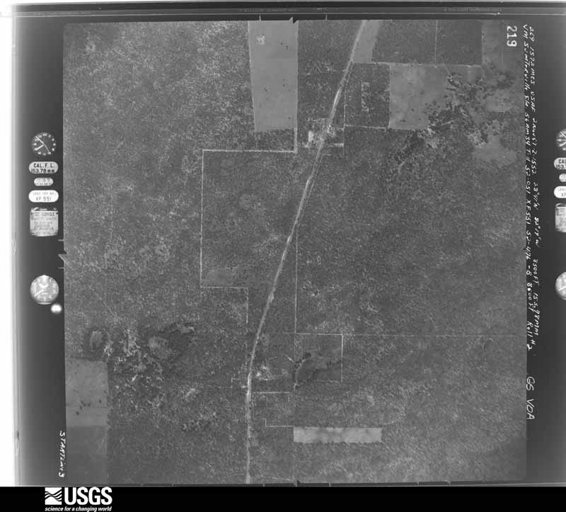
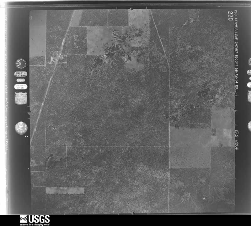
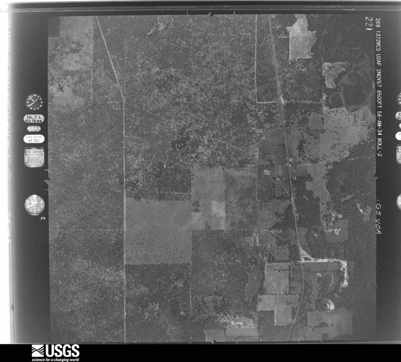
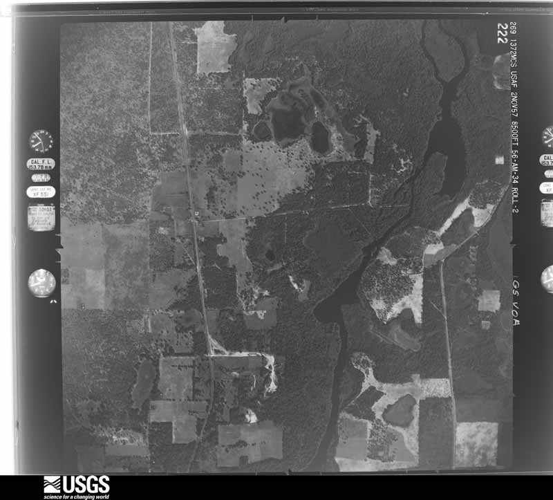
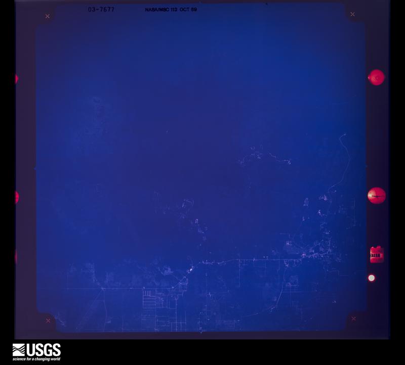
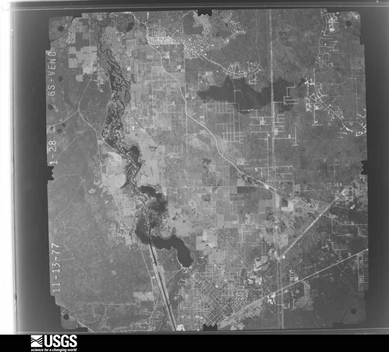
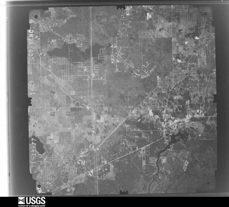
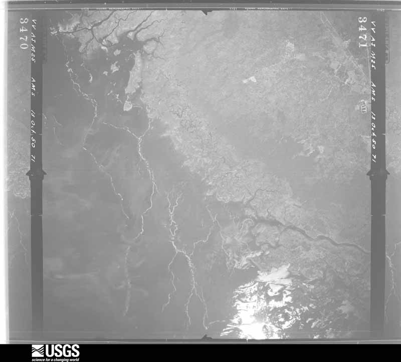
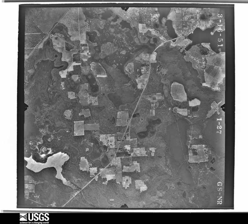
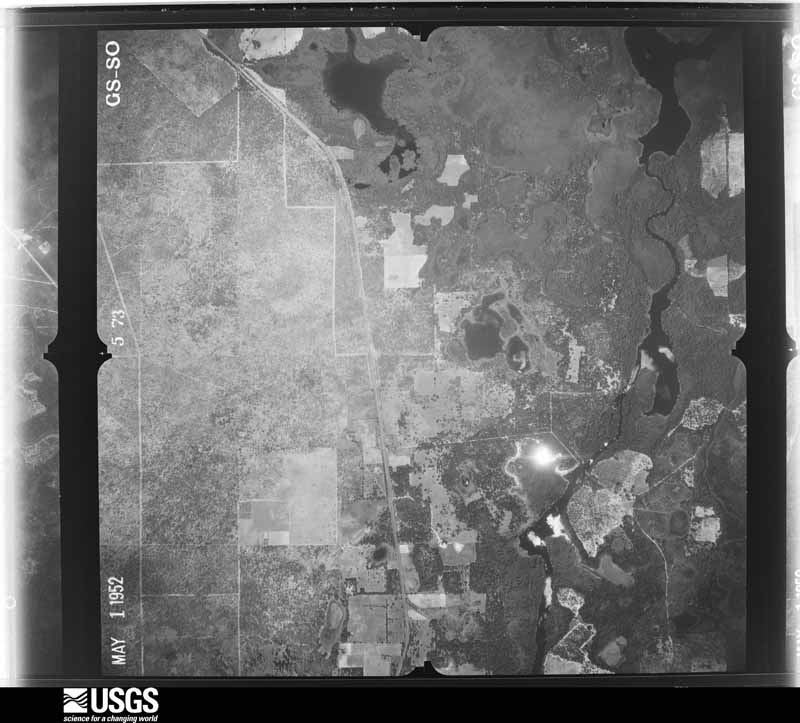
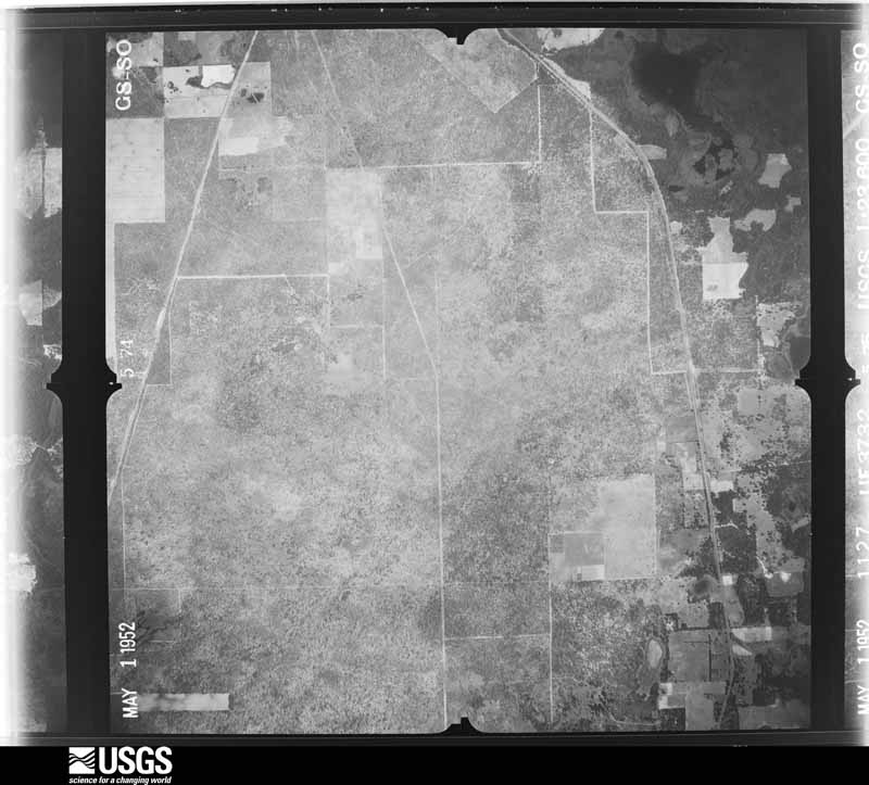
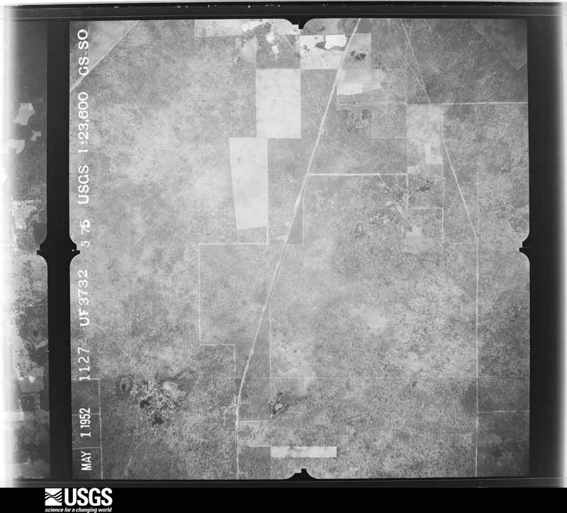
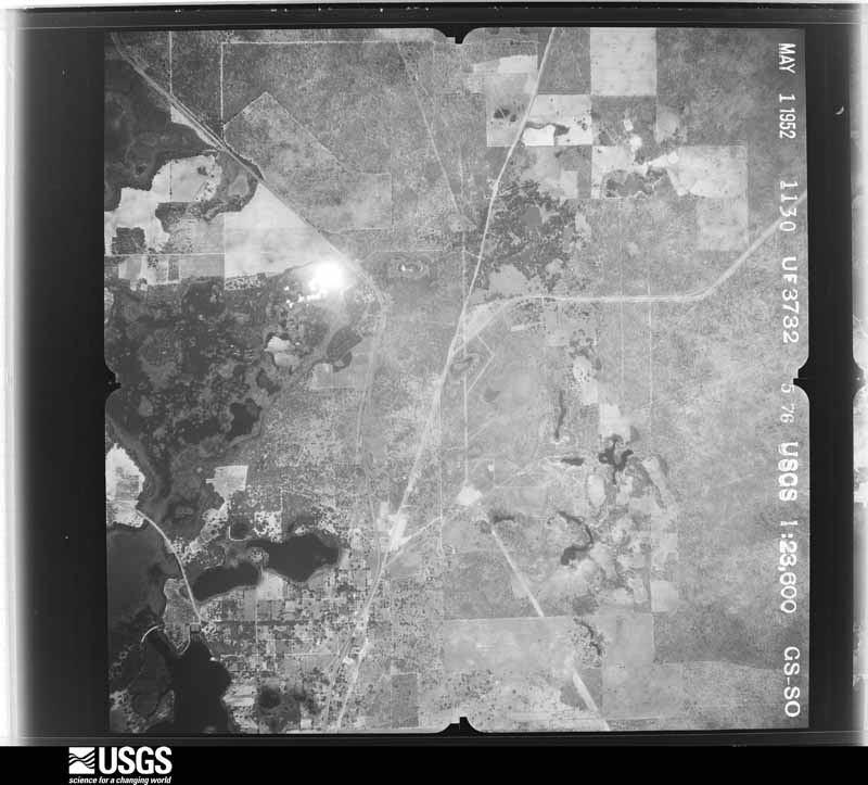
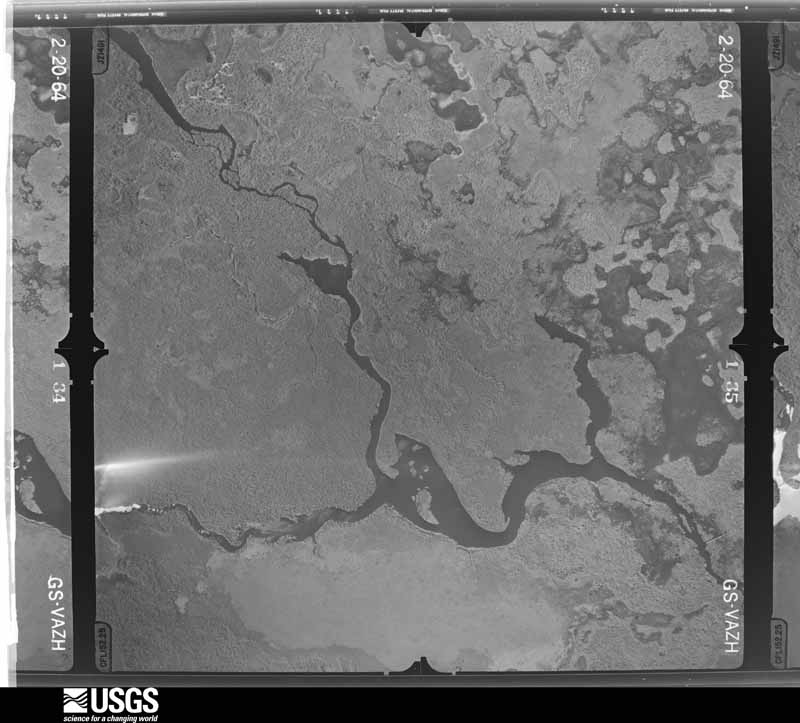
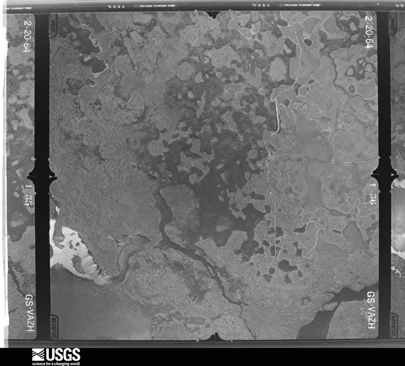
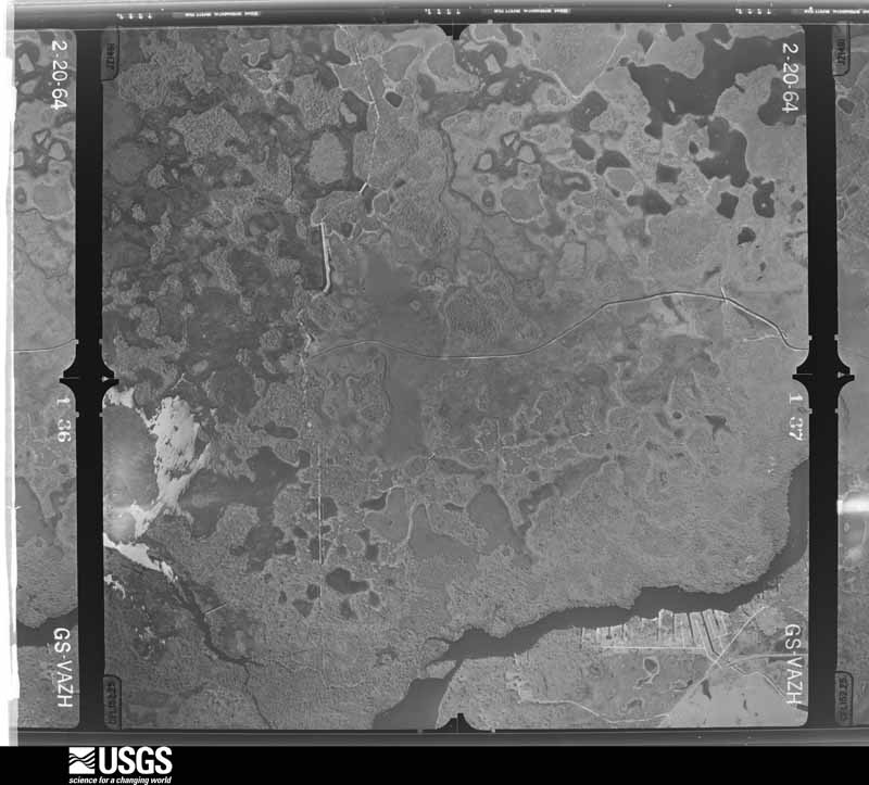
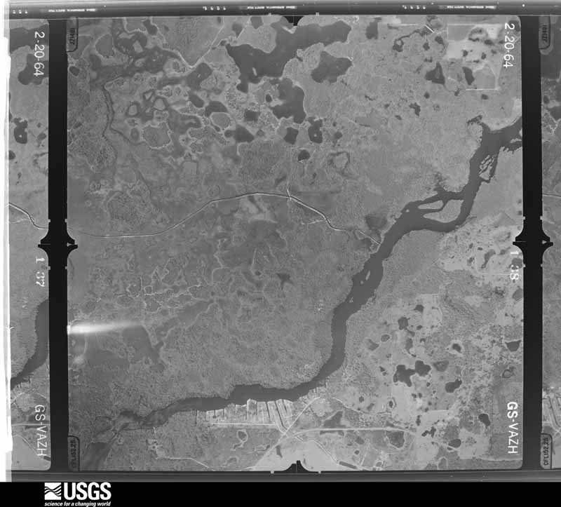
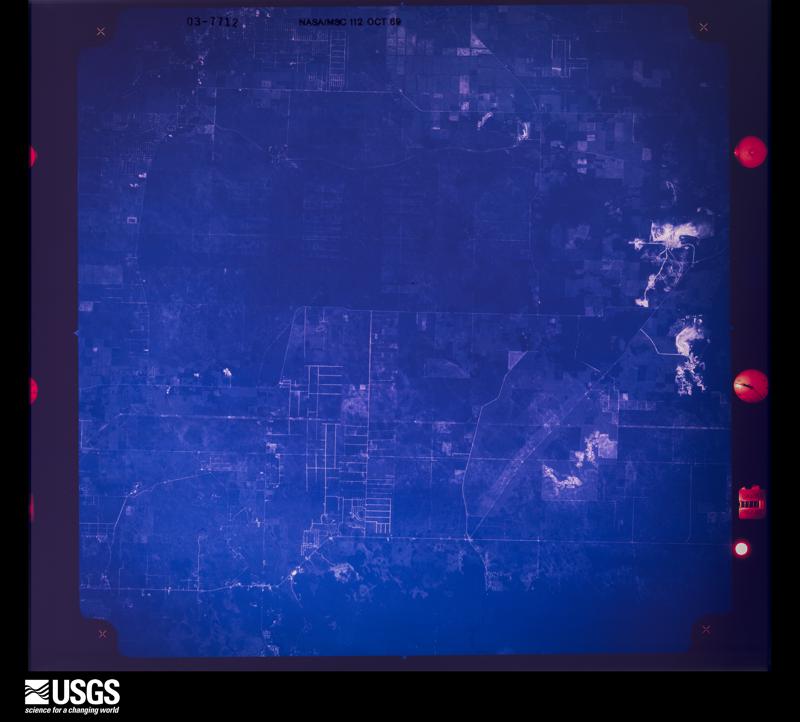
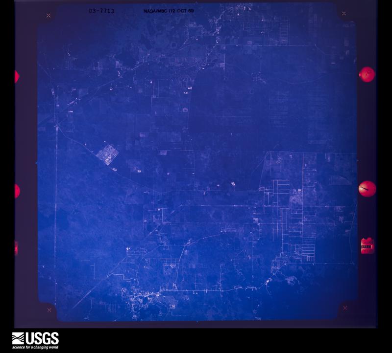
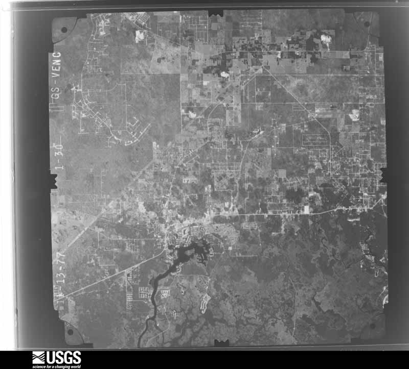
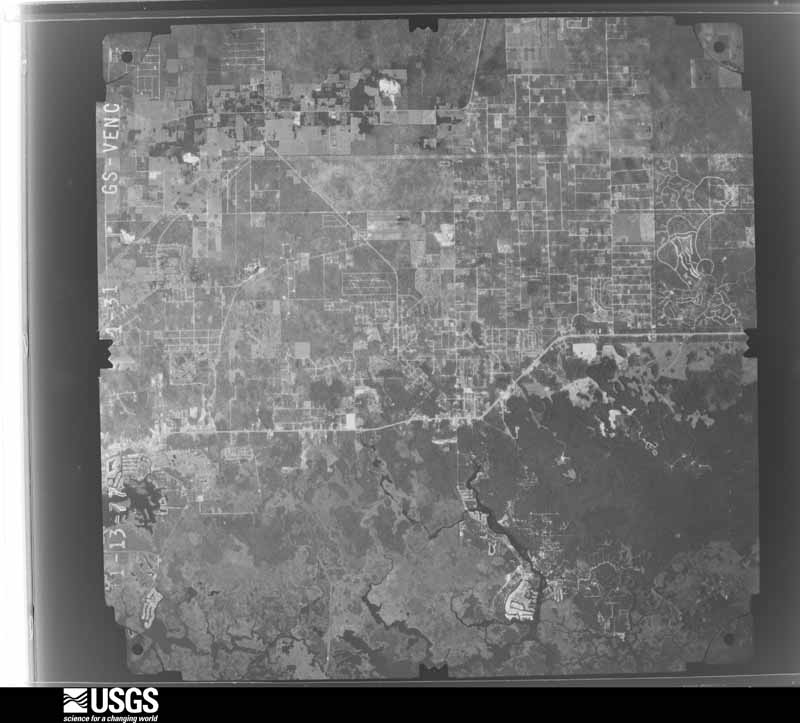
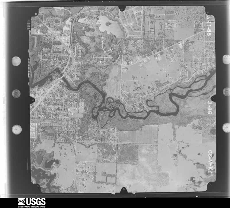
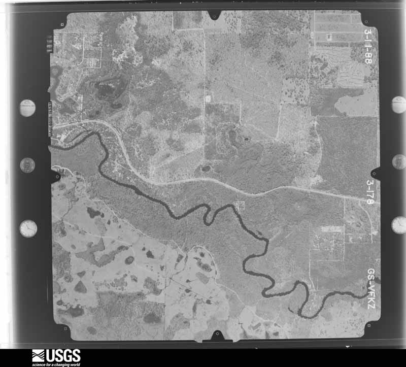
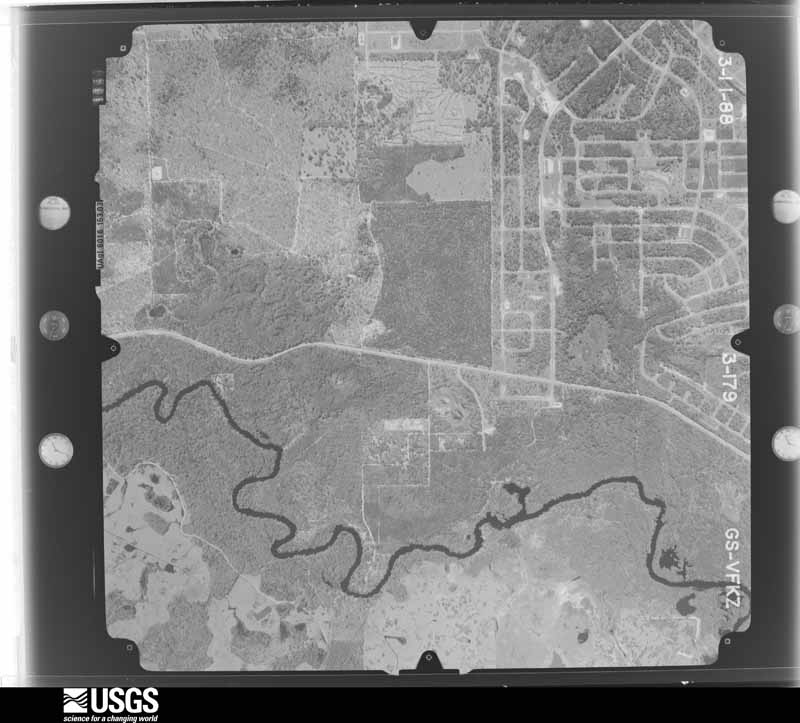
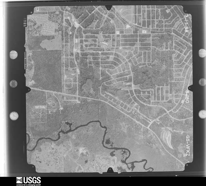
Flown by the U.S. Geological Survey between 1937 and 1989, the Aerial Photo Single Frames collection is the definitive mid-century view of the land: fields, roads and rivers as the camera saw them. The Survey holds 742 frames inside the rectangle that bounds this county; the 36 frames below were taken over the county itself, chosen across the decades of flights (at most four a year from that rectangle), so one flight cannot crowd out the rest. The full set is free to browse and download at EarthExplorer under the dataset Aerial Photo Single Frames.

The thermometers that kept this county's weather, and the gages that measured the flow of its streams, as the federal records hold them. The extremes below are measured values from those records, not estimates.
Who lived here in 1950, one enumeration district at a time, as the Census Bureau described each district. Each row opens its official National Archives result, with Population Schedules and ED Maps available there.
Every wildfire the federal occurrence database records inside this county: 1,897 of them, burning about 24,814 acres. 412 started naturally and 202 were recorded as arson. Each settlement page carries the fires within five miles of it.
| Reported cause | Fires |
|---|---|
| Natural | 412 |
| Equipment and vehicle use | 308 |
| Debris and open burning | 271 |
| Railroad operations and maintenance | 264 |
| Missing data/not specified/undetermined | 263 |
| Arson/incendiarism | 202 |
| Misuse of fire by a minor | 98 |
| Recreation and ceremony | 35 |
| Power generation/transmission/distribution | 27 |
| Smoking | 10 |
| Other causes | 4 |
| Fireworks | 3 |
The five largest, by the area the report gives. Three of them were set deliberately.
| Date | Cause | Size | Reported by | Name on the report |
|---|---|---|---|---|
| 8 July 2017 | Natural | 1,700 acres | Florida Forest Service | COD DR (09) |
| 17 September 1997 | Natural | 1,700 acres | Florida Forest Service | not named |
| 8 February 2001 | Debris and open burning | 1,147 acres | Florida Forest Service | COD FIRE |
| 27 April 2008 | Arson/incendiarism | 982 acres | Florida Forest Service | WILLOW POND FIRE |
| 19 February 2010 | Arson/incendiarism | 960 acres | Florida Forest Service | 09/TRAIL 10 FIRE-0168 |
| 11 June 2013 | Natural | 660 acres | Florida Forest Service | SHEDHORN (09) |
| 16 January 2007 | Arson/incendiarism | 640 acres | Florida Forest Service | HOLDER FIRE |
| 5 May 2015 | Missing data/not specified/undetermined | 558 acres | Florida Forest Service | TRAIL 12 (09) |
Every settlement page carries the fires within five miles of it - see the settlement index below.
The NOAA Storm Events Database holds 358 reports for this county, causing 4 deaths, 23 injuries and about $28,196,780 in recorded property damage. Each settlement page carries the reports that name it.
| Kind of event | Reports |
|---|---|
| Thunderstorm Wind | 162 |
| Hail | 78 |
| Tornado | 51 |
| Lightning | 24 |
| Flood | 22 |
| Heavy Rain | 9 |
| Waterspout | 4 |
| Wildfire | 2 |
| Funnel Cloud | 2 |
| Flash Flood | 2 |
| Dense Fog | 1 |
| Frost/Freeze | 1 |
The most serious of them, by death, then injury, then recorded damage. The accounts are quoted exactly as the forecast office filed them.
| When | Event | Place named | Harm | What the report says |
|---|---|---|---|---|
| April 1983 | Tornado (F3) | not stated | 3 killed, 2 hurt, $2,500,000 | no account filed |
| July 2002 | Lightning | Crystal River | 1 killed | Lightning knocked victim out of the boat. A second man in the boat jumped into the water and pulled his friend back in but could not revive the victim. |
| June 2000 | Lightning | Hernando | 4 hurt | Lightning struck and injured four people, three men and a woman, at the Andres of Citrus Hills golf course in Hernando. The four struck by lightning had sought shelter beneath a covered golf bag rack 30 feet from the pro shop at the golf course. Two men who received the greatest injuries were knocked unconscious and had their hearts stopped by the lightning strike. All four victims were resuscitated with CPR. The female struck was thrown several feet by the force of the lightning bolt. |
| March 1993 | Tornado (F1) | Crystal River | 3 hurt, $5,000,000 | A tornado formed just west of town and moved in. Fifteen homes were damaged, several heavily. Three people suffered injuries. |
| September 1998 | Tornado (F2) | Crystal River | 2 hurt, $500,000 | A tornado (F2), associated with an outer band of Hurricane Earl, touched down along N. Fairport Avenue, east of the intersection of County Road 495 and West Dunklin Road, six miles northeast of Crystal River. The tornado moved northeast, sporadically touched down along a narrow path, and destroyed a two story family structure, seven mobile homes and caused minor damage to an additional eight single family and sixteen mobile homes. Several large trees, sheds and power lines were downed by the tornado before it lifted and dissipated near County Road 488 and N. Circle M Avenue.Of note, a homeowner on W. Wheatfield Lane in Citrus Springs was alerted to the impending tornado by his four dogs who stubbornly refused to venture outdoors nearly ten minutes prior to the touchdown. The homeowner on W. Wheatfield Lane described the sound of the tornado similar to that of a roaring train as it passed over and damaged his home and downed nearby trees.Two injuries occurred to the occupants of the two story home that was destroyed by the tornado before it lifted and dissipated. |
| February 2004 | Thunderstorm Wind | Crystal River | 2 hurt, $300,000 | A severe thunderstorm wind gust of 70 mph caused tree and home damage to a rectangular area 4.5 miles by 3 miles across in north central Citrus county. Citrus County Emergency Management conducted a survey and found the damage was caused by straight line winds. Seven mobile homes were destroyed, seven homes had major damage, and 33 homes had minor damage. Most of the minor damage included damage to pool cages, car ports, and skirting around mobile homes. Two injuries were reported on the 8500 block of West Moonhaze Court. One man suffered minor back injury as the wall of his mobile home fell on him as he slept. One women suffered an eye injury from debris as her mobile home lost its roof. Numerous trees were downed or damaged along the path of the storm. Debris removal costs were $36,000. |
| March 2022 | Thunderstorm Wind | Red Level | 2 hurt, $150,000 | A line of strong to severe thunderstorms produced what|was determined to be a swath of straight-line damage across areas|of Levy and Citrus counties near the Withlacoochee River and Lake|Rousseau...with most damage strewn toward the northeast. One|manufactured home suffered major roof damage with minor roof|damage reported at multiple additional homes. Numerous trees and|power lines were also downed. 2 people sustained injuries after|becoming trapped inside an RV travel trailer that was blown over. |
| May 2020 | Lightning | Homosassa Springs | 2 hurt | Two children ages 4 and 11 received minor injuries while outdoors due to lightning strike across street from yard. |
| July 1984 | Tornado (F0) | not stated | 1 hurt, $250,000 | no account filed |
| March 2001 | Tornado (F0) | Hernando | 1 hurt, $75,000 | Citrus county emergency management reported that a F0 tornado initially touched down near East Bryant Street and North Croft Avenue, two miles south-southwest of Hernando, and sporadically touched down as it moved northeast across mixed residential neighborhoods near U.S. Highway 41. The tornado continued northeast, then lifted and dissipated near East Parson Point Road, one mile east of Hernando. The tornado caused mainly minor damage to roof tiles, awnings, sheds, lanais of homes and toppled a few trees along its narrow path. A woman was injured from shattered glass when wind blown debris broke her vehicle's windshield along North Croft Avenue. |
| January 2017 | Thunderstorm Wind | Holder | 1 hurt, $30,000 | A large oak tree was knocked down and fell on a house in Holder. The home owner sustained minor injuries and refused transportation to a hospital. Additionally, downed power lines sparked a 50 acre brush fire near Crystal River. |
| February 1983 | Tornado (F1) | not stated | 1 hurt, $25,000 | no account filed |
| June 1999 | Lightning | Homosassa Spgs | 1 hurt, $1,000 | The Citrus County Emergency Management reported that a seventeen year old female was struck and severely injured by lightning while standing in a boat at a boat ramp along Halls River Road along the Homosassa River as thunderstorm activity approached. The female was severely shocked, resuscitated with CPR, and comatose after lightning struck the deck of boat inches from where the victim was standing. The lightning strike melted a rubber band holding the victims ponytail and burned a hole into the boats fuel tank. |
| September 2010 | Lightning | Lecanto | 1 hurt | A 15-year-old girl was inside a residence on Easy Street in Lecanto, using a hair appliance, when she was injured by a lightning strike. She was transported to the hospital in stable condition. |
| September 2021 | Flood | Red Level | $10,000,000 | Emergency Management assessed around 200 properties with flood damage as a result of locally heavy rainfall over the course of the week coupled with swollen creeks and rivers along with saturated soils. A rising water table also contributed to the flooding. Damage ranges from water intrusion into homes to water rising into home-adjacent locations such as garages or areas beneath homes. Water levels remain elevated with some properties still to be assessed and some streets and highways still impassable. |
| January 1998 | Flood | Holder | $2,000,000 | The Withlacoochee River at Holder crested at 10.5 feet, two and a half feet above the flood stage of eight feet on the 20th. Up to 200 homes in the Arrowhead subdivision were damaged by floodwaters near State Road 200 north of County Road 491. |
| June 2003 | Flash Flood | Crystal River | $502,000 | Most of the flooding problems occurred east of Highway 19 from Cardinal Lane to Green Acres and in the Crystal Manor area. Several homes along South Line Road in Lecanto had 18 inches of water inside after a county drainage retention pond overflowed. Rainfall totals for the day were 10.53 inches 3 miles east of Floral City and 6.51 inches in Chassahowitzka. |
| March 1998 | Flood | Holder | $500,000 | The Withlacoochee River at Holder crested at 10.58 feet, two and a half feet above the flood stage of eight feet, on the 21st. Several homes incurred water damage from the floodwaters, mainly in the Arrowhead subdivision along State Road 200. |
| February 1998 | Flood | Holder | $500,000 | The Withlacoochee River at Holder crested at 10.0 feet, two feet above the flood stage of eight feet, on the 28th. Several homes incurred water damage from the floodwaters. |
| October 2023 | Tornado (EF2) | Inglis | $350,000 | Likely began as a tornadic waterspout that moved ashore, then tracked northeast near the Paradise Point community south of Crystal River before continuing across U.S. Hwy 19 and FL Hwy 44 into eastern parts of Crystal River before lifting northeast of the city shortly thereafter. Several hardwood trees were downed near the Plantation Golf Resort and Spa before more significant damage occurred as the tornado approached and crossed U.S. Hwy 19, with multiple homes receiving roof damage, including one with exterior walls collapsed. A warehouse along U.S. Hwy 19 also had part of its roof removed. Additional minor roof damage observed as the tornado continued northeast and across FL Hwy 44 before dissipating, along with downed electrical transmission lines. |
| June 2003 | Flash Flood | Crystal River | $300,000 | State Road 490 in the western part of the county was closed due to flooding and motorists were stranded in the streets in Crystal River. A gully overflowed near Highway 19 South in Homosassa and the water flowed into a nearby restaurant "like a river". Numerous cars received moderate damage as the flood waters inundated an auto dealer lot. Rain fall totals for the day were 4.51 inches in Chassahowitzka and 3.36 inches 3 miles east of Floral City. |
| April 1998 | Flood | Holder | $300,000 | The Withlacoochee River at Holder crested at 10.0 feet, two feet above the flood stage of eight feet on the 1st. Several homes in the Arrowhead subdivision incurred damage from the floodwaters of the Withlacoochee River near Holder. |
| June 2009 | Tornado (EF0) | Inverness Arpt | $250,000 | A tornado touched down in the Castle Lake Mobile Home Park and the Stoneridge Landing Mobile Home Park, causing damage ranging from minor to severe to an estimated 50 mobile homes. The severe damage occurred to roofs and carports. In addition, 50 trees around the parks had the tops sheared off or twisted requiring removal of the trees. Winds were estimated at 85mph. |
| June 1998 | Thunderstorm Wind | Floral City | $250,000 | Thunderstorm winds damaged the roofs of 23 homes, downed trees atop a few vehicles, snapped several large branches and downed power lines along Trails End Road. |
| March 1998 | Flood | Citrus Spgs | $250,000 | The Withlacoochee River at Dunnellon crested at 29.7 feet, more than a half foot above the flood stage of 29 feet, on the 20th. Three streets and several homes were flooded in the River Lakes subdivision. |
| April 1997 | Thunderstorm Wind | Homosassa | $250,000 | Thunderstorm winds caused minor to major roof damage to several mobile homes, downed numerous trees and power lines in Homosassa. A total of 33 buildings were damaged by thunderstorm winds in Homosassa with the most extensive damage near Cardinal Street in the southern portion of the city.Ten to fifteen electrical poles were snapped in half, several mobile home porches and roofs were severely damaged and signs were downed by thunderstorm winds on and along Cardinal Street. The roofs of a restaurant and furniture store in Homosassa were also severely damaged by thunderstorm winds and flying debris. |
| August 1984 | Tornado (F1) | not stated | $250,000 | no account filed |
| August 1984 | Tornado (F1) | not stated | $250,000 | no account filed |
| March 2001 | Tornado (F0) | Crystal River | $200,000 | National Weather Service damage survey indicated that a high end F0 tornado, that averaged 50 yards in width, touched down and caused heavy roof damage to a mobile home along West Jennifer Court, east of County Road 495. The tornado continued northeast and sporadically touched down on North Fairport Avenue near West Dunklin Street where minor to moderate damage occurred to rooftops, sheds and lanais, including several downed pines trees and large branches. Also, the tornadic winds rolled over one mobile home along the 4500 block of North Fairport near West Dunklin Street.The tornado continued northeast and caused sporadic damage to mainly roof tiles, shingles, lanais and trees in and along the Citrus Springs Country Club. The tornado downed a few additional trees and large branches near County Road 39 and North Perkins Path before it lifted and dissipated. |
| August 2015 | Lightning | Landrum | $173,000 | A newspaper reported that a lightning strike caused a fire to a home in Hernando. The residents were not home, and fire crews quickly put out the fire, however, the newspaper reported that damage was estimated at $172,750. |
| June 2001 | Lightning | Beverly Hills | $150,000 | Lightning struck a clay embankment and ripped open a fourteen foot gash in a buried sixteen inch water main, which then dispensed and flooded 250,000 gallons of water into yards, pools and a home along 200 block of W. Romany Loop in Beverly Hills. |
| June 1998 | Thunderstorm Wind | Inverness | $150,000 | Thunderstorm winds damaged thirteen homes in the Citrus Hills subdivision. Six homes incurred minor to moderate roof and shingle damage while seven had minor damage to lanais and pool cages. Several large one to two foot wide oak trees were snapped at the base by thunderstorm winds along Falconry Court Road. |
| August 2015 | Lightning | Arlington | $126,000 | Broadcast media reported on a fire at a home in Inverness, that was believed to be caused by a lightning strike. No one was injured, but the damage was reported to be roughly $126,000. |
| April 1997 | Tornado (F0) | Homosassa Spgs | $114,000 | A short-lived tornado touched down at the Gateway Shopping Center along U.S. Highway 19 and caused $85,000 dollars worth of roof damage to a furniture store and an additional $29,000 dollars in damage to the exteriors of a few homes and businesses. The tornado downed a few trees and power lines before it lifted and dissipated. |
| May 2012 | Flood | Lecanto | $108,000 | Tropical Storm Beryl produced an area of 5 to 8 inches of rain that caused flooding in an area bounded by Brooksville to Inverness to Homosassa Springs. One home in the 5600 block of South Hills Point had 31 inches of water in the home. Several other homes in the area had 8-14 inches of water in the home. Monetary damage listed in this report is a rough estimate. |
| June 2024 | Tornado (EFU) | Crystal River | $100,000 | Pictures from the public showed a funnel associated with a waterspout over Kings Bay that would later move ashore over western Kings Bay, becoming a tornado and damaging two structures. Additional pictures relayed by local EM showed significant damage to the structures, however the initial integrity of the structures in question could not be confirmed, as they were likely somewhat aged. |
| April 2020 | Tornado (EF0) | Homosassa Comps Site | $100,000 | Video showed a waterspout moving onshore of the|coast in Homosassa, and that same area of rotation continued|along a nearly easterly path. This created a narrow damage path|starting across a mobile home park near Buzzard Point causing 7|structures with minor damage and 2 structures with major damage.|Several trees were then downed or snapped in the Homosassa|Springs Wildlife Park, and snapped power poles, a billboard|down, the sail of a gas station blown off, and one business|with major damage on US Highway 19 and Grover Cleveland|Boulevard before lifting. |
| June 1999 | Thunderstorm Wind | Inverness Arpt | $100,000 | Thunderstorm winds piled two small planes on top of each other at the Inverness Airport. Also, Citrus County Emergency Management reported that several trees and power lines were toppled by thunderstorm winds over southern portions of Inverness. |
| June 2013 | Lightning | Floral City | $95,000 | Broadcast media reported Fire Rescue crews reported to the scene of a house fire in Floral City, FL, believed to be caused by a lightning strike. No one was home at the time and no injuries were reported. Damage was estimated to be around $95,000. |
| June 2012 | Tornado (EF1) | Chassahowitzka | $90,000 | A tornado produced a narrow damage path with 20 homes receiving minor damage, two mobile homes destroyed, and one block home with major damage. Numerous trees were knocked down. |
| July 2015 | Lightning | Inverness | $75,000 | Florida Division of Emergency Management relayed a report of a water treatment facility in Inverness that was damaged by a lightning strike, disrupting the drinking water supply to the town. As a result, a boil water notice went into effect and was not lifted until July 20th. |
| July 2001 | Tornado (F0) | Floral City | $75,000 | An F0 tornado touched down and toppled a few large trees, several branches and power lines in the Heatherwood subdivision, 4.5 miles west southwest of Floral City, in eastern Citrus county. Most of the damage occurred along South Hammock Avenue, South Juneau Point and County Road 581 before the small tornado lifted and dissipated. |
| June 2001 | Thunderstorm Wind | Crystal River | $50,000 | Citrus county emergency management reported that thunderstorm winds downed several large trees, branches and power line in Crystal River. |
| August 2000 | Flood | Chassahowitzka | $50,000 | Heavy rainfall of four to six inches in less than two hours caused localized urban flooding from Beverly Hills south to Chassahowitzka in Citrus county. A few vehicles incurred water damage at low-lying flooded intersections in Crystal River, Beverly Hills and Chassahowitzka of Citrus county. |
| January 1999 | Thunderstorm Wind | Inverness | $50,000 | Thunderstorm winds downed several trees and power lines in the city of Inverness. |
| March 1999 | Thunderstorm Wind | Lecanto | $50,000 | Thunderstorm winds caused structural damage to a 120-foot-long by 50-foot-wide quonset hut, downed two large metal signs, several large branches and toppled a port-a-potty along State Road 44 near County Road 490. |
| June 1998 | Thunderstorm Wind | Inverness | $50,000 | Thunderstorm winds damaged an aluminum and screened pool enclosure on Ren Place near the Inverness Golf and Country Club. Thunderstorm winds also downed several large trees and damaged the roofs of a few homes along South Waterview Drive on Gospel Island, one mile northeast of Inverness. |
| February 1998 | Tornado (F0) | Crystal River | $50,000 | A short-lived tornado touched down and destroyed a 10 by 18 foot building that housed well and pump equipment at the St. Martin's Marsh and Aquatic Preserve west of U.S. Highway 19. |
| April 1997 | Thunderstorm Wind | Inverness | $50,000 | Thunderstorm winds downed several trees and power lines throughout Inverness. |
| July 1994 | Tornado (F0) | Chassahowitzka | $50,000 | A tornado did major damage to one mobile home and minor damage to two others at the Waldenwood Mobile Home Park near Chassahowitzka. |
| October 2002 | Tornado (F0) | Red Level | $50,000 | no account filed |
| February 2020 | Thunderstorm Wind | Inverness Arpt | $40,000 | Four different houses had trees that were knocked over onto them in Inverness and Floral City. |
| March 2011 | Thunderstorm Wind | Chassahowitzka | $40,000 | The down burst wind damage path was 5 miles long and up to one half mile wide. The damage started in Hernando County and moved northeast into Citrus County. Numerous pines were snapped and many homes lost about 15% of their shingles. This event was not documented as a tornado due to conflicting evidence (e.g. power lines untouched near a handful of trees snapped in a large cluster of trees). |
| June 1999 | Lightning | Homosassa Spgs | $40,000 | Lightning struck a large tree which fell atop and severely damaged four vehicles at the Florida Wellcare Alliance building in Inverness. |
| June 1998 | Thunderstorm Wind | Homosassa Spgs | $40,000 | Thunderstorm winds downed two large trees along Yulee Drive near the Homosassa River. In Beverly Hills, thunderstorm winds downed several large trees, power lines and toppled carports near S. Fillmore Street and Rose Avenue. |
| January 2019 | Thunderstorm Wind | Beverly Hills | $30,000 | Straight line winds caused damage near the intersection of Hartford Street and Citrus Hills Boulevard. Large trees were uprooted, powerlines knocked down, siding ripped off of a house, and an aluminum pool cage was destroyed by the winds. |
| April 2019 | Thunderstorm Wind | Beverly Hills | $25,000 | Citrus County Sheriff's Department reported multiple trees and power lines down along Bedstrow Boulevard and Oakmont Drive in the Pine Ridge area. |
| August 2015 | Flood | Crystal River Arpt | $25,000 | The Citrus County sheriffs office reported 6 to 8 inches of standing water on South Ozello Trail and West Beachview Dr. in Crystal River. Citrus County Fire Rescue reported that southbound lanes of Highway 19 in Crystal River were briefly closed due to flooding. |
| July 2010 | Lightning | Inverness Arpt | $25,000 | Lightning struck a house and caused a small fire in the attic. Fire crews were able to quickly extinguish the fire by cutting a ventilation hole in the roof, minimizing damage to the structure. |
| August 2000 | Flood | Crystal River | $25,000 | Heavy rainfall of three to five inches in less than three hours caused localized urban flooding from Crystal River to Beverly Hills. A few vehicles incurred water damage at low-lying intersections from the urban floodwaters in Crystal River and Beverly Hills. |
The Survey's mineral resources record lists 40 workings inside this county. 20 still produce and 20 are closed or unrecorded. Each settlement page carries the workings within five miles of it.
| Commodity | Workings |
|---|---|
| Stone, Crushed/Broken | 16 |
| Limestone, General | 8 |
| Phosphorus-Phosphates | 6 |
| Dolomite | 5 |
| Sand | 3 |
| Fullers Earth | 2 |
| Uranium, Iron, Magnesite, Aluminum, Fluorine-Fluorite | 1 |
The least common of them first, because a county's hundredth gravel pit says nothing its first ten did not.
| Where | Site | Commodity | Status | Recorded |
|---|---|---|---|---|
| Hardrock Deposit | Phosphorus-Phosphates, Uranium, Iron, Magnesite, Aluminum, Fluorine-Fluorite | Prospect | 1880 | |
| Unnamed Fullers Earth Prospect | Fullers Earth | Occurrence | ||
| Unnamed Fullers Earth Prospect | Fullers Earth | Occurrence | ||
| Citrus Co. Board of Co. Comm. - Landfill Expansion Mine | Sand | Unknown | ||
| J and L Croft Co. - Croft Pit | Sand | Producer | ||
| Material Exchange Corp. - Homosassa Mine | Sand | Unknown | ||
| Crystal River Quarries - Red Level | Dolomite | Producer | Dolomite | |
| Red Level Dolomite Pit | Dolomite | Past Producer | ||
| Turner's Farm Dolomite Prospect | Dolomite | Occurrence | ||
| Unnamed Dolomite Prospect | Dolomite | Occurrence | ||
| Unnamed Dolomite Prospect | Dolomite | Occurrence | ||
| Acton Mine & Mill | Phosphorus-Phosphates | Plant | ||
| E.M. Kellogg - Kellogg's Mine | Phosphorus-Phosphates | Producer | ||
| Howard Phosphate Mine | Phosphorus-Phosphates | Past Producer | ||
| Kellogg Mine & Mill | Phosphorus-Phosphates | Plant | ||
| Manko Co Section 5 Mine | Phosphorus-Phosphates | Past Producer | ||
| Carroll Contracting - Carroll Lecanto Pit | Limestone, General | Producer | Limestone | |
| Colitz Mining Co.(Crystal River Quarries) | Limestone, General | Producer | Limestone | |
| Crystal River Quarries - Lecanto Quarry | Limestone, General | Producer | Limestone | |
| Florida Rock Industries - Diamond Hill | Limestone, General | Producer | Limestone | |
| Holnam - Crystal River Quarry | Limestone, General | Producer | Limestone | |
| Howard Phosphates - Howard Mine | Limestone, General | Producer | Limestone | |
| Independent Aggregates - Ind. Agg. Quarry | Limestone, General | Producer | Limestone | |
| Manko - Section 5 Mine | Limestone, General | Producer | Limestone | |
| Carrolls Lecanto Pit | Stone, Crushed/Broken | Producer | ||
| Crystal River Quarry | Stone, Crushed/Broken | Producer | ||
| Gulf Coast Quarry | Stone, Crushed/Broken | Past Producer | ||
| Hair Quarry | Stone, Crushed/Broken | Past Producer | ||
| Lecanto Mine | Stone, Crushed/Broken | Past Producer | ||
| Lecanto Quarry | Stone, Crushed/Broken | Producer | ||
| Lecanto Quarry | Stone, Crushed/Broken | Past Producer | ||
| Lecanto Rock Mine | Stone, Crushed/Broken | Producer | ||
| Red Level Mine | Stone, Crushed/Broken | Producer | ||
| Storey Limestone Quarry | Stone, Crushed/Broken | Past Producer | ||
| Storey Mine | Stone, Crushed/Broken | Producer | ||
| Tanner Mine | Stone, Crushed/Broken | Producer | ||
| Unnamed Aggegate Prospect | Stone, Crushed/Broken | Occurrence | ||
| Unnamed Aggregate Pit | Stone, Crushed/Broken | Past Producer | ||
| Unnamed Aggregate Quarry | Stone, Crushed/Broken | Occurrence | ||
| Unnamed Aggregate Quarry | Stone, Crushed/Broken | Occurrence |
Named settlements recorded in the Geographic Names Information System, each with the topographic sheets covering it. Villages, hamlets and abandoned places alike. Each is shown with the nearest named watercourse or landform and the survey quadrangle it falls on.
Inverness census division · Lecanto quadrangle
25 sheets, 1895 to 1979
No longer a settlement
Crystal River census division · 34448 · On Baird Creek · Chassahowitzka quadrangle
15 sheets, 1954 to 1979
Crystal River census division · 34428 · On Magnolia Creek · Crystal River quadrangle
14 sheets, 1954 to 1979
Crystal River census division · 34429 · Near Banana Island · Homosassa quadrangle
15 sheets, 1954 to 1979
Inverness census division · 34436 · Near Duval Island · Nobleton quadrangle
14 sheets, 1954 to 1979
Crystal River census division · 34448 · On Otter Creek · Homosassa quadrangle
15 sheets, 1954 to 1979
Crystal River census division · 34448 · On Halls River · Homosassa quadrangle
15 sheets, 1954 to 1979
Inverness census division · 34450 · Near Pritchard Island · Inverness quadrangle
24 sheets, 1895 to 1979
Crystal River census division · 34429 · Near Paradise Island · Ozello quadrangle
17 sheets, 1954 to 1994
Crystal River census division · 34429 · Near Banana Island · Crystal River quadrangle
14 sheets, 1954 to 1979
Crystal River census division · 34446 · Chassahowitzka quadrangle
15 sheets, 1954 to 1979
The vanished settlements of Citrus County: the places named above that are no longer on the map.