 Block
Armstrong, Illinois
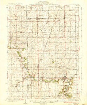
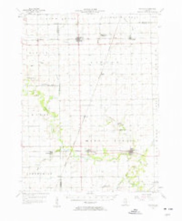
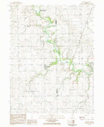
13 topographic sheets cover this place, the earliest surveyed in 1936 and the latest in 1987. It stands in Middlefork Township. It lies in ZIP code area 61812. The Survey maps it on the Penfield quadrangle. It stands 696 feet above sea level.
Topographic sheets covering this place
8 surveys from 13 printed sheetsMatched by testing this settlement's coordinate against the published boundary of every sheet in the United States Geological Survey's historical collection. Each opens the scanned sheet at the Survey.
- 1936 USGS Potomac quadrangle1:62500, 3 printings
- 1953 USGS Danville quadrangle1:250000, 3 printings
- 1955 USGS Danville quadrangle1:250000
- 1956 USGS Danville quadrangle1:250000
- 1957 USGS Potomac quadrangle1:62500, 2 printings
- 1984 USGS Danville quadrangle1:100000
- 1984 USGS Penfield quadrangle1:24000
- 1987 USGS Danville quadrangle1:100000





In the county-history sources
19,922 words on this townshipHistory of Vermilion County, Together with Historic Notes on the Northwest, Gleaned from Early Authors, Old Maps and Manuscripts, Private and Official Correspondence, and Other Authentic, Though, for the Most Part, Out-of-the-way Sources, published 1879 names this settlement in its chapter on Middlefork Township. These are the passages that mention it, exactly as the scans read.
Brown. They were all married and had families, and were all earnest members of the Methodist church. They made a cabin at Merrill's Point, and the sons took claims in sections 5, 6, 7 and 8 (21-13), south of where Armstrong now is. John and James were licensed preachers, and were probably the first ones to make a residence here. The parents died the first year, and the family had to bury them themselves. They brought a number of cattle with them from Kentucky, and the migration bid fair to prove a prosperous one; but the first year. was followed by the memorable winter of the deep snow, the like of which has never been seen here since. It was to the new-comers a most unexpected and disastrous winter. The depth of the snow prevented getting around to do anything. They had to live on what they could pound up in their mortars. Deer, the principal meat-producing game, were easily captured, but they soon became so poor that their meat was not fit to eat. There was no such thing as going to market, and their cattle died from lack of food and care. The winter filled up the measure of their disappointment, and the next year they took the back track and went to Kentucky, all but Asa Brown, who said he had nothing to go to there, and he " could but perish if he staid." They afterward returned and settled on the land they had taken up, which has been known from that day to this - now fifty years - as the Partlow neighborhood. They all lived to bring up families, some members of whom still reside there. Samuel and Reuben died in Danville, where their children live, and are among the most respected and worthy citizens. John and James died here in Middle Fork. "When they came here they brought the institutions of religion with them, and never allowed the altar to grow cold. About 1840 they built the first meeting-house in this part of the county - a rude cabin on the bank of the stream on Reuben's land. There is no family which has exercised a greater or better influence on the town - an influence for good which will be felt till the last.
Passage source: History of Vermilion County, Together with Historic Notes on the Northwest, Gleaned from Early Authors, Old Maps and Manuscripts, Private and Official Correspondence, and Other Authentic, Though, for the Most Part, Out-of-the-way Sources, published 1879.
Douglas Moore came from Ohio in 1834, and took up land still farther west, south of where Armstrong now is. He was a man of very positive views and strong character. He has a reputation among the neighbors for truthfulness, honorable christian character, and was
Passage source: History of Vermilion County, Together with Historic Notes on the Northwest, Gleaned from Early Authors, Old Maps and Manuscripts, Private and Official Correspondence, and Other Authentic, Though, for the Most Part, Out-of-the-way Sources, published 1879.
John Wright, Armstrong, farmer, section 13, was born in Bourbon county, Kentucky, on the 10th of February, 1808. His father died when he was but six years of age, leaving his mother with seven children. He remained at home until twenty-one years of age, helping to support his mother and sisters. In 1829 he came west in a wagon. He was married to Elisabeth Watters on the 10th of April, 1831. She was born in Virginia, near the Potomac River, on the 14th of September, 1813, being the youngest of seven children, all of whom are still living. She is now sixty-six years old, and the eldest of the seven, a brother, is eighty-nine. Mr. and Mrs. Wright are the parents of two children : Silas T. and William W. Mr. Wright has held the office of school director five years, school treasurer five years, and justice of the peace. He is the oldest living settler of Middle Fork township. He distinctly recollects seeing deer, wolves and Indians.
Passage source: History of Vermilion County, Together with Historic Notes on the Northwest, Gleaned from Early Authors, Old Maps and Manuscripts, Private and Official Correspondence, and Other Authentic, Though, for the Most Part, Out-of-the-way Sources, published 1879.
Machine-read from a century-old scan, so expect the errors a machine makes: misspelled names, dropped words, stray characters.
Read the whole chapter on Middlefork Township - it names this place 20 more 20 times.
Mines and quarries near this place
2 within 5 milesRegional context, not property-specific evidence. The federal mineral resources record lists 2 workings within 5 miles of Armstrong: 1 past producer, 1 producer. 1 still produces. What was taken out: Sand and Gravel, Construction. Distance is straight-line from the map coordinates, so a quarry counted here may appear on a neighbouring settlement's page as well.
| Where | Site | Commodity | Status | Recorded |
|---|---|---|---|---|
| Allison Sand & Gravel Pit | Sand and Gravel, Construction | Producer | ||
| Potomac Gravel Pit | Sand and Gravel, Construction | Past Producer |
Storms near this place
4 since 1999Regional context, not property-specific evidence. The National Weather Service names Armstrong in 4 storm reports between 1999 and 2025: 2 thunderstorm wind, 1 hail, 1 tornado. No death or injury is recorded in these reports. Each account below is quoted exactly as the forecast office filed it, from the NOAA Storm Events Database, and each date opens the federal record of that event.
| When | Event | Place named | Harm | What the report says |
|---|---|---|---|---|
| May 2025 | Tornado (EF1) | Armstrong | - | A tornado touched down along IL-49 midway between East 2700 North Road and East 2800 North Road about 3 miles south of Armstrong at 5:06 PM CDT. The tornado initially caused some tree damage, then tracked eastward and snapped two power poles along North 650 East Road. It then continued to near the intersection of East 2800 North Road and Potomac-Collison Road where it snapped or blew down around 12 large trees at a residence before dissipating shortly thereafter at 5:10 PM CDT. |
| August 2022 | Thunderstorm Wind | Armstrong | - | A tree was blown onto power lines. |
| July 2023 | Hail | Armstrong | - | no account filed |
| April 1999 | Thunderstorm Wind | Armstrong | - | no account filed |
Nearest settlements
The eight closest, with where each one stands in the county. Distances are straight-line, computed from the Geographic Names Information System coordinates.
| Map | Place | Distance | Sheets |
|---|---|---|---|
| Ellis | 3.4 miles | 13 | |
| Potomac | 4.1 miles | 13 | |
| Blue Grass (historical) | 4.5 miles | 13 | |
| Collison | 6.8 miles | 15 | |
| Hope | 7.1 miles | 14 | |
| Jamesburg | 7.5 miles | 12 | |
| Reilly | 7.7 miles | 13 | |
| Higginsville | 7.8 miles | 15 |
Elsewhere
Matched on this settlement's Geographic Names Information System number rather than its name, so it cannot be a different place of the same name in another state.
| Wikipedia article on Armstrong | An encyclopaedic summary. Its text is share-alike, so it is linked here rather than copied. |
| Wikidata item Q4793901 | The structured record the population and elevation above come from. Public domain (CC0). |
Provenance
This settlement is recorded in the Geographic Names Information System as feature 403620. The sheet list is computed by point-in-boundary test against the United States Geological Survey's historical topographic inventory. Both are works of the United States government and carry no copyright under 17 U.S.C. 105.
Mines and quarries. USGS Mineral Resources Data System (MRDS) https://mrdata.usgs.gov/mrds/ A work of the United States government, no copyright under 17 U.S.C. 105.
Storms. NOAA National Centers for Environmental Information, Storm Events Database https://www.ncei.noaa.gov/stormevents/ A work of the United States government, no copyright under 17 U.S.C. 105. Narratives are quoted verbatim from the National Weather Service report and are not edited or summarised.