 Block
Ellis, Illinois
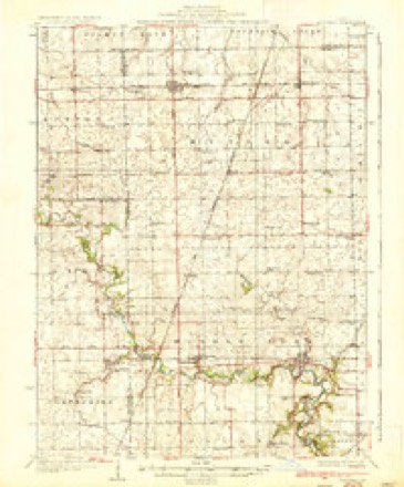
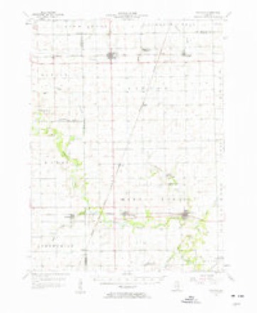
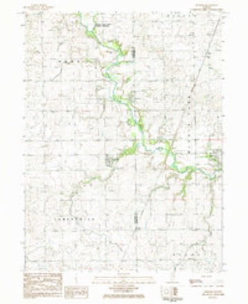
13 topographic sheets cover this place, the earliest surveyed in 1936 and the latest in 1987. It stands in Middlefork Township. It lies in ZIP code area 61865. The Survey maps it on the Penfield quadrangle.
Topographic sheets covering this place
8 surveys from 13 printed sheetsMatched by testing this settlement's coordinate against the published boundary of every sheet in the United States Geological Survey's historical collection. Each opens the scanned sheet at the Survey.
- 1936 USGS Potomac quadrangle1:62500, 3 printings
- 1953 USGS Danville quadrangle1:250000, 3 printings
- 1955 USGS Danville quadrangle1:250000
- 1956 USGS Danville quadrangle1:250000
- 1957 USGS Potomac quadrangle1:62500, 2 printings
- 1984 USGS Danville quadrangle1:100000
- 1984 USGS Penfield quadrangle1:24000
- 1987 USGS Danville quadrangle1:100000





In the county-history sources
19,922 words on this townshipHistory of Vermilion County, Together with Historic Notes on the Northwest, Gleaned from Early Authors, Old Maps and Manuscripts, Private and Official Correspondence, and Other Authentic, Though, for the Most Part, Out-of-the-way Sources, published 1879 names this settlement in its chapter on Middlefork Township. These are the passages that mention it, exactly as the scans read.
The hamlet which has been so long known by the name of Blue Grass, or " Blue Grass City," as some ambitious ones chose to call it, received its name naturally enough from its surroundings, as has been already explained. After the county road - or state road, as it wTas called - came into general travel, and Owens had got his tavern into running order, the people began to want a post-office and store. The post-office was established in 1843, and John Carter appointed postmaster, a position which he retained until Archi McCormick commenced keeping store, about 1845, when he was appointed. Five years later he sold to John Bodly. Bodly continued in business some years and was quite prosperous, and sold to Wilson, and he to Thomas Owens, the post-office following these changes. Edmund Hartwell, who did not believe in doing anything by halves, built the mammoth store now standing there, dark, "gloomy and worthless," 30 x65, two stories high, which he occupied for store, carrying a large stock of general merchandise, the upper story being rented to the Masonic order, which had a thriving lodge there in those days. This was the only post-office in the northwestern part of the county, and it was no uncommon thing to see a hundred persons there for their mail at times. In 1859 John Carter and George Small laid out and platted a " town." It consisted of two blocks, one on either side of the county road. Hartwell, Scott & McDaniels, Groves & Brother, Henderson & Lee and Davis & Hall, successively sold goods there. During and after the close of the war these parties who were engaged in trade sold $25,01 >0 worth a year. Now the shutters are up on the big store, and no one would take it rent free. Berry Ellis started a blacksmith shop about 1845. The La Fayette Oil Mill Company built a flax warehouse there, and for some years Hartwell run that and did a thriving business. After the railroad was built it was moved to Rankin. The only business carried on there now is the two blacksmith shops by Wilson and Artrun, a little grocery and notion store, and the post-office now kept by Mr. Butler. "Killed by the railroads," is the epitaph that might be written over Blue Grass City.
Passage source: History of Vermilion County, Together with Historic Notes on the Northwest, Gleaned from Early Authors, Old Maps and Manuscripts, Private and Official Correspondence, and Other Authentic, Though, for the Most Part, Out-of-the-way Sources, published 1879.
Machine-read from a century-old scan, so expect the errors a machine makes: misspelled names, dropped words, stray characters.
Read the whole chapter on Middlefork Township - it names this place 1 more 1 time.
Storms near this place
5 since 2013Regional context, not property-specific evidence. The National Weather Service names Ellis in 5 storm reports between 2013 and 2020: 3 flash flood, 1 tornado, 1 flood. No death or injury is recorded in these reports. Each account below is quoted exactly as the forecast office filed it, from the NOAA Storm Events Database, and each date opens the federal record of that event.
| When | Event | Place named | Harm | What the report says |
|---|---|---|---|---|
| November 2013 | Tornado (EF2) | Ellis | $2,500,000 | This tornado crossed from Champaign County into Vermilion County 4.1 miles NW of Armstrong at 1:00 PM CST, then tracked northeastward across rural northwest Vermilion County. The tornado destroyed 1 home, 20 outbuildings, and a camper. It also damaged 7 other homes and snapped numerous power poles and trees. The tornado weakened as it moved out of Vermilion County into Iroquois County in National Weather Service Chicago's County Warning Area (CWA) about 3.7 miles WNW of Hoopeston at 1:14PM CST. |
| June 2020 | Flash Flood | Ellis | - | Six to eight inches of water was flowing over Route 49 west of Potomac prompting law enforcement to barricade the road. |
| May 2017 | Flash Flood | Ellis | - | Heavy rainfall of 1.50 to 2.50 inches during the morning hours of May 4th, on already saturated ground, resulted in flash flooding across much of Vermilion County. Officials reported that most roads were impassable and numerous creeks rapidly flooded, particularly south of I-74. Most rural roads from Allerton to Jamaica to Sidell were closed. |
| May 2017 | Flood | Ellis | - | Heavy rainfall of 1.50 to 2.50 inches during the morning hours of May 4th, on already saturated ground, resulted in flash flooding across much of Vermilion County. Officials reported that most roads were impassable and numerous creeks rapidly flooded, particularly south of I-74. Most rural roads from Allerton to Jamaica to Sidell were closed. Additional rainfall of 1.00 to 1.50 inches later in the day May 4th into May 5th caused creeks and roads to stay flooded for nearly 24 hours. Flood waters subsided by the afternoon on May 5th. |
| April 2013 | Flash Flood | Ellis | - | Rainfall rates of 1 to 2 inches per hour for nearly three hours resulted in flash flooding in northern Vermilion County. Several rural roads were impassable due to high water. |
Nearest settlements
The eight closest, with where each one stands in the county. Distances are straight-line, computed from the Geographic Names Information System coordinates.
Provenance
This settlement is recorded in the Geographic Names Information System as feature 407897. The sheet list is computed by point-in-boundary test against the United States Geological Survey's historical topographic inventory. Both are works of the United States government and carry no copyright under 17 U.S.C. 105.
Storms. NOAA National Centers for Environmental Information, Storm Events Database https://www.ncei.noaa.gov/stormevents/ A work of the United States government, no copyright under 17 U.S.C. 105. Narratives are quoted verbatim from the National Weather Service report and are not edited or summarised.