 Block
Atwood, Illinois
14 topographic sheets cover this place, the earliest surveyed in 1950 and the latest in 1998. It stands in Garrett Township. It lies in ZIP code area 61913. The Survey maps it on the Atwood quadrangle. 1,116 people lived here at the 2020 count. It stands 662 feet above sea level.
Population over time
2 figuresAtwood fell from 1,224 to 1,116 between 2010 and 2020. These are the recorded population figures Wikidata holds for this place, reached through the Geographic Names Information System number this page is keyed on rather than by name, so they belong to this place and not to another of the same name. Most are census counts, but not all are: an early figure may be a founding or settlement estimate, and an estimate published within five years of a census is left out. The change column is computed, and is left blank where more than 20 years separate a figure from the one before it, because a gap that long is not a change between two counts.
| Year | People | Change |
|---|---|---|
| 2010 | 1,224 | |
| 2020 | 1,116 | -108 (-9%) |
Topographic sheets covering this place
7 surveys from 14 printed sheetsMatched by testing this settlement's coordinate against the published boundary of every sheet in the United States Geological Survey's historical collection. Each opens the scanned sheet at the Survey.
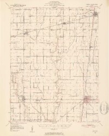
- 1950 USGS Tuscola quadrangle1:62500, 4 printings
- 1958 USGS Decatur quadrangle1:250000, 3 printings
- 1961 USGS Decatur quadrangle1:250000, 2 printings
- 1975 USGS Tuscola SW quadrangle1:24000
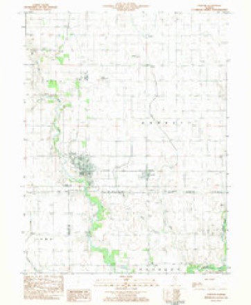
- 1983 USGS Atwood quadrangle1:24000
- 1985 USGS Decatur quadrangle1:100000, 2 printings
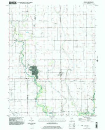
- 1998 USGS Atwood quadrangle1:24000



What happened here
An account from the chapter on Garrett township. The inset identifies its exact source book and publication year.
Douglas Countt
In the early days a principal part of the living was venison. Thomas Goodson once killed two deer with a single ball, on what is now the large farm of William Brian. He also assisted in exterminating the last family of wild cats in the Okaw timber. He relates having cut a large tree for rail timber in the exact spot where he had cut a similar one thirty-six years before, as if the timber is holding its own notwithstanding the large quantities used for fuel and improvement.
In the county-history sources
1,650 words on this townshipHistory of Douglas County, Illinois, published 1876 names this settlement in its chapter on Garrett Township. These are the passages that mention it, exactly as the scans read.
The town of Atwood was laid out by the railroad company in 1S73, on the lands of Harvey Otter and Geo. Nolind, in Douglas county, and on the lands of the Ritchie's in Piatt countv. It is a thriving village with good surroundings and will eventually secure the trade of a wealthy neighborhood, which has hitherto been divided between Tuscola and Bement.
Passage source: History of Douglas County, Illinois, published 1876.
Mackville, in Piatt county, on Lake Fork, a branch of the Okaw, is a mile northwest of Atwood, and exercised some control over the trade of this region until the advent of the railroad, which passed half a mile south and made Atwood. The pet name of this village is "Lickskillet."
Passage source: History of Douglas County, Illinois, published 1876.
Machine-read from a century-old scan, so expect the errors a machine makes: misspelled names, dropped words, stray characters.
Nearest settlements
The eight closest, with where each one stands in the county. Distances are straight-line, computed from the Geographic Names Information System coordinates.
| Map | Place | Distance | Sheets |
|---|---|---|---|
| Garrett | 2.0 miles | 14 | |
| Chicken Bristle | 5.7 miles | 14 | |
| Ficklin | 5.7 miles | 14 | |
| Bourbon | 5.8 miles | 13 | |
| Arthur | 5.9 miles | 13 | |
| Fillmore (historical) | 7.3 miles | 13 | |
| Chesterville | 7.6 miles | 13 | |
| Parkview | 9.4 miles | 14 |
Elsewhere
Matched on this settlement's Geographic Names Information System number rather than its name, so it cannot be a different place of the same name in another state.
| Wikipedia article on Atwood | An encyclopaedic summary. Its text is share-alike, so it is linked here rather than copied. |
| Wikidata item Q1973449 | The structured record the population and elevation above come from. Public domain (CC0). |
Provenance
This settlement is recorded in the Geographic Names Information System as feature 403711. The sheet list is computed by point-in-boundary test against the United States Geological Survey's historical topographic inventory. Both are works of the United States government and carry no copyright under 17 U.S.C. 105.