 Block
Ashton, Illinois
10 topographic sheets cover this place, the earliest surveyed in 1952 and the latest in 1985. It stands in Ashton Township. It lies in ZIP code area 61006. The Survey maps it on the Ashton quadrangle. 967 people lived here at the 2020 count. It stands 823 feet above sea level.
Population over time
2 figuresAshton fell from 972 to 967 between 2010 and 2020. These are the recorded population figures Wikidata holds for this place, reached through the Geographic Names Information System number this page is keyed on rather than by name, so they belong to this place and not to another of the same name. Most are census counts, but not all are: an early figure may be a founding or settlement estimate, and an estimate published within five years of a census is left out. The change column is computed, and is left blank where more than 20 years separate a figure from the one before it, because a gap that long is not a change between two counts.
| Year | People | Change |
|---|---|---|
| 2010 | 972 | |
| 2020 | 967 | -5 (-1%) |
Topographic sheets covering this place
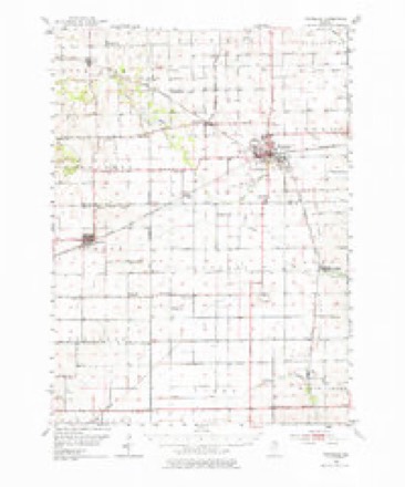
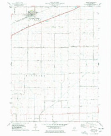
5 surveys from 10 printed sheetsMatched by testing this settlement's coordinate against the published boundary of every sheet in the United States Geological Survey's historical collection. Each opens the scanned sheet at the Survey.
- 1952 USGS Rochelle quadrangle1:62500, 3 printings
- 1958 USGS Aurora quadrangle1:250000, 3 printings
- 1961 USGS Aurora quadrangle1:250000
- 1975 USGS Ashton quadrangle1:24000
- 1985 USGS Dixon quadrangle1:100000, 2 printings



In the county-history sources
12,008 words on this townshipHistory of Lee County, published 1881 names this settlement in its chapter on Ashton Township. These are the passages that mention it, exactly as the scans read.
This town is located in the north tier of townships. It is one-half the size of a congressional township, being six miles from east to west and three miles from north to south. It originally formed a part of Bradford township. The surface is for the most part undulating. Stone suitable for building purposes abounds in considerable quantities. The finest quarry is just north of the village of Ashton, which is said to be equal in quality to any in northern Illinois for building.
Passage source: History of Lee County, published 1881.
The first person to locateMn the township was Eiastus Anderson, in 1848. He w^as followed in a few weeks after by his brother Timothy, their father coming in December of the'same year. At that time there were only four houses to be seen, and part of these were twenty miles distant. In 1849 a man by the name of Hubbard settled in the west part of the township. In 1852 Daniel Suter located near the site of the German Baptist church, and H. Saunders farther to the west. These comprise most of the settlers of what is now Ashton township prior to the location of the Northwestern railroad in 1854.
Passage source: History of Lee County, published 1881.
The first settlers of Ashton township say not a tree was to be seen nearer than the grove, at what is now Franklin ; that game was plenty, that ducks, geese and sandhill cranes reared their young here in the swamps, and that chasing the prairie wolf was of frequent occurrence. Sheep had to be closely guarded. Prairie fires sometimes broke out, sweeping the grass, which was very abundant, and sometimes the build-
Passage source: History of Lee County, published 1881.
Machine-read from a century-old scan, so expect the errors a machine makes: misspelled names, dropped words, stray characters.
Read the whole chapter on Ashton Township - it names this place 29 more 29 times.
Mines and quarries near this place
5 within 5 milesRegional context, not property-specific evidence. The federal mineral resources record lists 5 workings within 5 miles of Ashton: 4 past producers, 1 producer. 1 still produces. What was taken out: Stone, Crushed/Broken. Distance is straight-line from the map coordinates, so a quarry counted here may appear on a neighbouring settlement's page as well.
| Where | Site | Commodity | Status | Recorded |
|---|---|---|---|---|
| Ashton Quarry | Stone, Crushed/Broken | Producer | ||
| Unnamed Limestone Quarry | Stone, Crushed/Broken | Past Producer | ||
| Unnamed Limestone Quarry | Stone, Crushed/Broken | Past Producer | ||
| Unnamed Limestone Quarry | Stone, Crushed/Broken | Past Producer | ||
| Unnamed Limestone Quarry | Stone, Crushed/Broken | Past Producer |
Storms near this place
11 since 1996Regional context, not property-specific evidence. The National Weather Service names Ashton in 11 storm reports between 1996 and 2022: 6 thunderstorm wind, 3 hail, 1 tornado, 1 heavy rain. No death or injury is recorded in these reports. Each account below is quoted exactly as the forecast office filed it, from the NOAA Storm Events Database, and each date opens the federal record of that event.
| When | Event | Place named | Harm | What the report says |
|---|---|---|---|---|
| October 2010 | Tornado (EF1) | Ashton | $100,000 | A tornado touched down near Meridian Road southeast of Ashton. The damage path was convergent and narrow. Some of the damage included a couple of outbuildings with poor structural integrity and a few that had their roofs ripped off. The top of a metal silo was 'punched' in and a grain cart was flipped onto its side. In addition to the structural damage, numerous 2x4's were speared into the ground and metal siding was strewn into the fields to the northeast of the farm. |
| August 2014 | Thunderstorm Wind | Ashton | $5,000 | A grain storage bin was damaged by severe winds. |
| July 2022 | Thunderstorm Wind | Ashton | - | A video shared on social media showed several large tree limbs blown down. |
| May 2019 | Hail | Ashton | - | Golf ball size hail was reported on Interstate 88 near Ashton. |
| July 2017 | Thunderstorm Wind | Ashton | - | A 6 inch diameter Willow tree limb was broken off towards the top of the tree near Quarry and Stone Roads. |
| July 2017 | Heavy Rain | Ashton | - | Rainfall of 0.99 inches was measured in 10 minutes. |
| March 2007 | Hail | Ashton | - | no account filed |
| July 2003 | Thunderstorm Wind | Ashton | - | no account filed |
| July 2003 | Thunderstorm Wind | Ashton | - | no account filed |
| July 2003 | Hail | Ashton | - | no account filed |
| June 1996 | Thunderstorm Wind | Ashton | - | no account filed |
Nearest settlements
The eight closest, with where each one stands in the county. Distances are straight-line, computed from the Geographic Names Information System coordinates.
| Map | Place | Distance | Sheets |
|---|---|---|---|
| Franklin Grove | 4.5 miles | 12 | |
| Lee Center | 8.7 miles | 10 | |
| Inlet | 9.1 miles | 10 | |
| Nachusa | 9.3 miles | 12 | |
| Kingdom | 9.3 miles | 12 | |
| Twelvemile Corner | 10.4 miles | 11 | |
| Steward | 10.7 miles | 11 | |
| Shaws | 11.0 miles | 10 |
Elsewhere
Matched on this settlement's Geographic Names Information System number rather than its name, so it cannot be a different place of the same name in another state.
| Wikipedia article on Ashton | An encyclopaedic summary. Its text is share-alike, so it is linked here rather than copied. |
| Wikidata item Q2668451 | The structured record the population and elevation above come from. Public domain (CC0). |
Provenance
This settlement is recorded in the Geographic Names Information System as feature 403681. The sheet list is computed by point-in-boundary test against the United States Geological Survey's historical topographic inventory. Both are works of the United States government and carry no copyright under 17 U.S.C. 105.
Mines and quarries. USGS Mineral Resources Data System (MRDS) https://mrdata.usgs.gov/mrds/ A work of the United States government, no copyright under 17 U.S.C. 105.
Storms. NOAA National Centers for Environmental Information, Storm Events Database https://www.ncei.noaa.gov/stormevents/ A work of the United States government, no copyright under 17 U.S.C. 105. Narratives are quoted verbatim from the National Weather Service report and are not edited or summarised.