 Block
Kingdom, Illinois
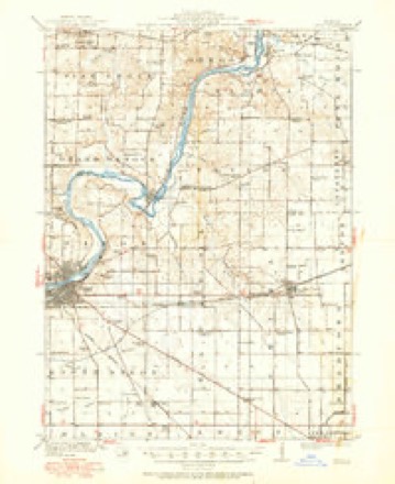
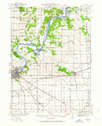
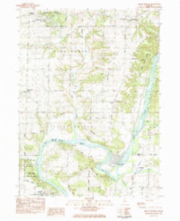
12 topographic sheets cover this place, the earliest surveyed in 1918 and the latest in 1985. It stands in Nachusa Township. It lies in ZIP code area 61021. It stands on Chamberlain Creek. The Survey maps it on the Grand Detour quadrangle.
Topographic sheets covering this place
6 surveys from 12 printed sheetsMatched by testing this settlement's coordinate against the published boundary of every sheet in the United States Geological Survey's historical collection. Each opens the scanned sheet at the Survey.
- 1918 USGS Dixon quadrangle1:62500, 3 printings
- 1950 USGS Dixon quadrangle1:62500, 2 printings
- 1958 USGS Aurora quadrangle1:250000, 3 printings
- 1961 USGS Aurora quadrangle1:250000
- 1983 USGS Grand Detour quadrangle1:24000
- 1985 USGS Dixon quadrangle1:100000, 2 printings



In the county-history sources
17,213 words on this townshipHistory of Lee County, published 1881 names this settlement in its chapter on Nachusa Township. These are the passages that mention it, exactly as the scans read.
Jonas B. Eicholtz, farmer and stock raiser, Nachusa, is a son of John F. and Anna (Boyer) Eicholtz, both natives of Pennsylvania and now residents of Nachusa. Jonas B. was born in Adams county, Pennsylvania, March 26, 1810, and like his father received a limited education and was raised to hard work on the farm. In the spring of 1861, with his parents, he settled in Lee county, Illinois, near Nachusa, where he engaged in tilling the soil. November 19, 1863, Mr. Eicholtz was married to Miss Elnora E., daughter of Jacob and Sarah (Dettro) Peters. She was born in Adams county, Pennsylvania, August 23, 1810. The issue of this marriage is one child, Oscar E., born in Pennsylvania, March 26, 1866, while Mr. and Mrs E. were visiting in that state. In 1875 Mr. Eicholtz purchased his present tarm of 145 acres in Sec. 18, T. 21, R. 10, which he has improved but did not occupy as a home till March 1880. He is one of Lee's industrious and prosperous farmers. Mr. and Mrs. Eicholtz are connected with the Lutheran church, holding their membership in the St. James' church. South Dixon.
Passage source: History of Lee County, published 1881.
Calvin Burkett (deceased) was born in Blair county, Pennsylvania, December 8, 1829. His parents were Jacob and ISTancy (Wilcox) Burkett. During earl}' youth he was engaged in attending school and working on the farm. At about the age of twenty-one he came to Lee county, Illinois, by the rivers Ohio, Mississippi and Illinois. Having gained some knowledge of the business of stone and brick masonry, he engaged in and followed it for a number of years, teaching school winters. In December, 1858, he bought a farm of 160 acres from Jerdon Crawford, in Sec. 8, T. 21, R. 10, IN^achusa township, and engaged in farming and stock raising. This, however, he only followed a short time, for at the outbreak of the war he enlisted in Cheney's Battery. While in the army his health failed, and after lying in hospital three or four months he was discharged on account of disability. January 2, 1868, he married Miss Mary A., daughter of James K. and Eliza (Bruce) Henry. She was born in Huntingdon county, Pennsylvania, January 8, 1840, and came to Lee county, Illinois, in 1865. Mr. Burkett, by industry, hard work and good management, made for himself and famil}' a good home. He was a member of the Presbyterian church, as is also his surviving wife. The}' had no children of their own, but have one adopted child, Charles M. Burkett. Mr. Burkett died February 27, 1881, and was buried in the Dixon cemetery.
Passage source: History of Lee County, published 1881.
Machine-read from a century-old scan, so expect the errors a machine makes: misspelled names, dropped words, stray characters.
Fires near this place
2 since 2011Regional context, not property-specific evidence. The federal wildfire occurrence database lists 2 fires within 5 miles of Kingdom between 2011 and 2020, burning about 3 acres in total. None started naturally. None was recorded as arson. Distance is straight-line from the map coordinates, so a fire counted here may appear on a neighbouring settlement's page as well.
| Reported cause | Fires |
|---|---|
| Missing data/not specified/undetermined | 2 |
The most recent of them, most recent first, with the day each was reported and the service that recorded it.
| Date | Cause | Size | Reported by | Name on the report |
|---|---|---|---|---|
| 22 April 2020 | Missing data/not specified/undetermined | 2.0 acres | Illinois Division of Forestry Resources | 20-0327 |
| 30 March 2011 | Missing data/not specified/undetermined | 1.0 acres | Illinois Division of Forestry Resources | YOCUM |
Mines and quarries near this place
10 of 15 shownRegional context, not property-specific evidence. The federal mineral resources record lists 15 workings within 5 miles of Kingdom: 11 past producers, 3 occurrences, 1 producer. 1 still produces. What was taken out: Stone, Crushed/Broken, Sand and Gravel, Construction, Limestone, General. Distance is straight-line from the map coordinates, so a quarry counted here may appear on a neighbouring settlement's page as well.
| Where | Site | Commodity | Status | Recorded |
|---|---|---|---|---|
| Dixon Quarry & Cement Plant | Limestone, General | Producer | ||
| Medusa Quarry | Sand and Gravel, Construction | Past Producer | ||
| Limestone Prospect | Stone, Crushed/Broken | Occurrence | ||
| Limestone Prospect | Stone, Crushed/Broken | Occurrence | ||
| Limestone Prospect | Stone, Crushed/Broken | Occurrence | ||
| Sandusky Quarry | Stone, Crushed/Broken | Past Producer | ||
| Sanner Quarry | Stone, Crushed/Broken | Past Producer | ||
| Steder Quarry | Stone, Crushed/Broken | Past Producer | ||
| Unnamed Limestone Quarry | Stone, Crushed/Broken | Past Producer | ||
| Unnamed Limestone Quarry | Stone, Crushed/Broken | Past Producer |
Storms near this place
3 since 2008Regional context, not property-specific evidence. The National Weather Service names Kingdom in 3 storm reports between 2008 and 2025: 1 flash flood, 1 flood, 1 thunderstorm wind. No death or injury is recorded in these reports. Each account below is quoted exactly as the forecast office filed it, from the NOAA Storm Events Database, and each date opens the federal record of that event.
| When | Event | Place named | Harm | What the report says |
|---|---|---|---|---|
| May 2025 | Thunderstorm Wind | Kingdom | - | A photo shared on social media showed several utility poles leaning over Route 2, resulting in power outages. |
| January 2020 | Flood | Kingdom | - | An ice jam on the Rock River caused flooding between Grand Detour and Dixon. Flooding was also reported in an agricultural area due to backwater on Pine Creek. |
| December 2008 | Flash Flood | Kingdom | - | Many roads across eastern Lee County were flooded, some were closed. Ditches and creeks were also flooded. Stormtotal rainfall amounts included 1.88 inches near Dixon and 1.44 inches near Paw Paw. |
Nearest settlements
The eight closest, with where each one stands in the county. Distances are straight-line, computed from the Geographic Names Information System coordinates.
| Map | Place | Distance | Sheets |
|---|---|---|---|
| Nachusa | 4.3 miles | 12 | |
| Dixon | 5.9 miles | 12 | |
| Franklin Grove | 6.1 miles | 12 | |
| Lincoln Heights | 7.2 miles | 11 | |
| Eldena | 8.5 miles | 12 | |
| Ashton | 9.3 miles | 10 | |
| Palmyra | 10.2 miles | 11 | |
| Woodland Shores | 10.4 miles | 11 |
Provenance
This settlement is recorded in the Geographic Names Information System as feature 411498. The sheet list is computed by point-in-boundary test against the United States Geological Survey's historical topographic inventory. Both are works of the United States government and carry no copyright under 17 U.S.C. 105.
Wildfire. Short, Karen C. 2022. Spatial wildfire occurrence data for the United States, 1992-2020 [FPA_FOD_20221014]. 6th Edition. Fort Collins, CO: Forest Service Research Data Archive. https://doi.org/10.2737/RDS-2013-0009.6 Collected with United States Government funding and usable without additional permissions or fees.
Mines and quarries. USGS Mineral Resources Data System (MRDS) https://mrdata.usgs.gov/mrds/ A work of the United States government, no copyright under 17 U.S.C. 105.
Storms. NOAA National Centers for Environmental Information, Storm Events Database https://www.ncei.noaa.gov/stormevents/ A work of the United States government, no copyright under 17 U.S.C. 105. Narratives are quoted verbatim from the National Weather Service report and are not edited or summarised.