 Block
Nachusa, Illinois
12 topographic sheets cover this place, the earliest surveyed in 1918 and the latest in 1985. It stands in Nachusa Township. It lies in ZIP code area 61057. The Survey maps it on the Dixon East quadrangle. 137 people lived here at the 2020 count. It stands 791 feet above sea level.
Topographic sheets covering this place
6 surveys from 12 printed sheetsMatched by testing this settlement's coordinate against the published boundary of every sheet in the United States Geological Survey's historical collection. Each opens the scanned sheet at the Survey.
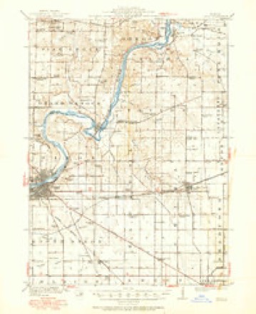
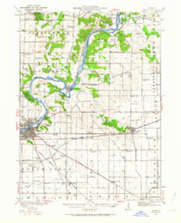
- 1918 USGS Dixon quadrangle1:62500, 3 printings
- 1950 USGS Dixon quadrangle1:62500, 2 printings
- 1958 USGS Aurora quadrangle1:250000, 3 printings
- 1961 USGS Aurora quadrangle1:250000
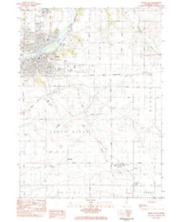
- 1983 USGS Dixon East quadrangle1:24000
- 1985 USGS Dixon quadrangle1:100000, 2 printings



In the county-history sources
17,213 words on this townshipHistory of Lee County, published 1881 names this settlement in its chapter on Nachusa Township. These are the passages that mention it, exactly as the scans read.
Was laid out in the fall of 1853 on land owned by Col. Dysart and George Baugh. The following in regard to it was taken from the records: "I, Joseph Crawford, surveyor of Lee county, do hereby certify that the town of Kachusa is situated and laid out as follows, towit: upon the E. i of S.W. I and upon the W. ^ of S.E. ^ of Sec. 6, T. 21 N., and R. 10 E.
Passage source: History of Lee County, published 1881.
The first to embark in trade in the new-created town was Col. A. P. Dysart, who built a warehouse and began buying and shipping grain. In addition to his grain trade he also kept on hand a good supply of coal and lumber, for which he found a ready sale, and good buildings and other improvements began to spring up all over the country.
Passage source: History of Lee County, published 1881.
In 1855 or 1856 Mr. Dysart, in company with a man by the name of Cunninham, engaged in the mercantile trade. Having put up a suitable building for the purpose he kept what might be called a general store. In 1860 this firm was succeeded by John Dysart & Riley, who built the large elevator which is now in use in the present extensive grain trade carried on by Joh« Dysart & Israel Slothower. The store they sold out to Mr. Wm. C. Dysart, who is now carrjung on an extensive mercantile trade in the village and surrounding country.
Passage source: History of Lee County, published 1881.
Machine-read from a century-old scan, so expect the errors a machine makes: misspelled names, dropped words, stray characters.
Read the whole chapter on Nachusa Township - it names this place 38 more 38 times.
Mines and quarries near this place
10 of 17 shownRegional context, not property-specific evidence. The federal mineral resources record lists 17 workings within 5 miles of Nachusa: 14 past producers, 2 occurrences, 1 producer. 1 still produces. What was taken out: Stone, Crushed/Broken, Sand and Gravel, Construction. Distance is straight-line from the map coordinates, so a quarry counted here may appear on a neighbouring settlement's page as well.
| Where | Site | Commodity | Status | Recorded |
|---|---|---|---|---|
| Medusa Quarry | Sand and Gravel, Construction | Past Producer | ||
| Hallquist Quarry | Stone, Crushed/Broken | Past Producer | ||
| Limestone Prospect | Stone, Crushed/Broken | Occurrence | ||
| Limestone Prospect | Stone, Crushed/Broken | Occurrence | ||
| Russell/Miller Portable #1 Quarry | Stone, Crushed/Broken | Producer | ||
| Sandusky Quarry | Stone, Crushed/Broken | Past Producer | ||
| Steder Quarry | Stone, Crushed/Broken | Past Producer | ||
| Unnamed Limestone Quarry | Stone, Crushed/Broken | Past Producer | ||
| Unnamed Limestone Quarry | Stone, Crushed/Broken | Past Producer | ||
| Unnamed Limestone Quarry | Stone, Crushed/Broken | Past Producer |
Storms near this place
2 since 2023Regional context, not property-specific evidence. The National Weather Service names Nachusa in 2 storm reports between 2023 and 2025: 1 thunderstorm wind, 1 hail. No death or injury is recorded in these reports. Each account below is quoted exactly as the forecast office filed it, from the NOAA Storm Events Database, and each date opens the federal record of that event.
| When | Event | Place named | Harm | What the report says |
|---|---|---|---|---|
| April 2023 | Thunderstorm Wind | Nachusa | - | A semi truck was blown over on Interstate 88 near Robbins Road. |
| July 2025 | Hail | Nachusa | - | no account filed |
Nearest settlements
The eight closest, with where each one stands in the county. Distances are straight-line, computed from the Geographic Names Information System coordinates.
| Map | Place | Distance | Sheets |
|---|---|---|---|
| Eldena | 4.3 miles | 12 | |
| Kingdom | 4.3 miles | 12 | |
| Dixon | 4.8 miles | 12 | |
| Franklin Grove | 4.8 miles | 12 | |
| Lincoln Heights | 7.1 miles | 11 | |
| Lee Center | 8.3 miles | 10 | |
| Walton | 8.4 miles | 10 | |
| Amboy | 8.7 miles | 10 |
Elsewhere
Matched on this settlement's Geographic Names Information System number rather than its name, so it cannot be a different place of the same name in another state.
| Wikipedia article on Nachusa | An encyclopaedic summary. Its text is share-alike, so it is linked here rather than copied. |
| Wikidata item Q6957233 | The structured record the population and elevation above come from. Public domain (CC0). |
Provenance
This settlement is recorded in the Geographic Names Information System as feature 414279. The sheet list is computed by point-in-boundary test against the United States Geological Survey's historical topographic inventory. Both are works of the United States government and carry no copyright under 17 U.S.C. 105.
Mines and quarries. USGS Mineral Resources Data System (MRDS) https://mrdata.usgs.gov/mrds/ A work of the United States government, no copyright under 17 U.S.C. 105.
Storms. NOAA National Centers for Environmental Information, Storm Events Database https://www.ncei.noaa.gov/stormevents/ A work of the United States government, no copyright under 17 U.S.C. 105. Narratives are quoted verbatim from the National Weather Service report and are not edited or summarised.