 Block
Burgess, Illinois
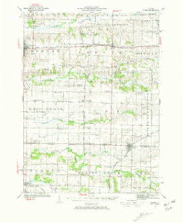
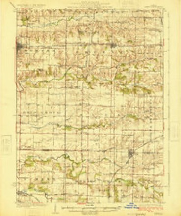
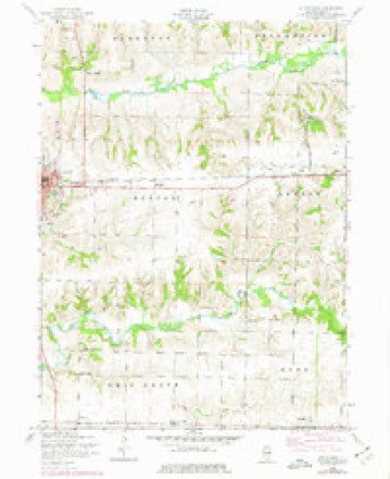
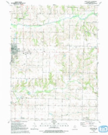
12 topographic sheets cover this place, the earliest surveyed in 1923 and the latest in 1992. It stands in Suez Township. It lies in ZIP code area 61231. The Survey maps it on the Aledo East quadrangle. It stands 702 feet above sea level.
Topographic sheets covering this place
9 surveys from 12 printed sheetsMatched by testing this settlement's coordinate against the published boundary of every sheet in the United States Geological Survey's historical collection. Each opens the scanned sheet at the Survey.
- 1923 USGS Alexis quadrangle1:62500, 2 printings
- 1925 USGS Alexis quadrangle1:62500
- 1953 USGS Aledo East quadrangle1:24000, 2 printings
- 1958 USGS Davenport quadrangle1:250000, 2 printings
- 1961 USGS Davenport quadrangle1:250000
- 1962 USGS Davenport quadrangle1:250000
- 1984 USGS Aledo quadrangle1:100000
- 1989 USGS Aledo quadrangle1:100000
- 1992 USGS Aledo East quadrangle1:24000





In the county-history sources
50,218 words on this townshipHistory of Mercer County : Together with Biographical Matter, Statistics, Etc., Gathered from Mattter Furnished by the Mercer County Historical Society, Interviews with Old Settlers, County, Township and Other Records, and Extracts from Files of Papers, Pamphlets, and Such Other Sources As Have Been Available : Containing Also a Short History of Henderson County, published 1882 names this settlement in its chapter on Suez Township. These are the passages that mention it, exactly as the scans read.
The broad domain of Illinois did not afford a more inviting spot to the eye of the early pioneer than the territory embraced within the lines of what is now known as Suez township ; consequently that ])ai't of Mercer county has kept pace with any part of the state in settlement, in thrift, and in religious and educational progress. Along the crystal streams that flow through the township an abundance of timber grew, and, underlying portions of the township, inexhaustible beds of coal are found. Back from the streams a beautiful expanse of fertile prairie greeted the eye of the observer ; and, shortly after the close of the Black Hawk war, the snug log cabin began to take the place of the Indian wigwam ; the white-topped wagon, the lowing of cattle, and the sound of the axe announced the fact that the day of civilization was dawning. Among the first to cast their lot in Suez township we find the following names: David Williams and George Blake came together from the State of Indiana in 1835, the former locating on the S. W. i of Sec. 22, and the latter on the S. E. i of Sec. 21. In the same year James Stewart and family, Robert Pollock and family, and William Moore and family came from the State of Ohio. Mr. Moore located on the N. E. J of Sec. 5, James Stewart on K. E. ^ of Sec. 21, Robert Pollock on the W. ^ of Sec. 27.
The settlers used farming implements that would bring a smile to the countenance of our modern farmers. Theii* plows had wooden mold-boards, and their harrows were all of wood. William Lafferty states that the tirst plow he used in the west was one with a wooden mold-board. He started in with the clumsy aflair, whei'e the weeds and prairie grass were higher than his head. He rooted along without regard to sectional lines, furrows, angles, or corners, and by night found lie had rooted over about twelve acres. The land appeared as if a drove of long-nosed hogs had been turned loose on it. IMr. Lafferty states that he planted his corn in it, but for reasons best known to himself did not return to look at it until after harvest.
This st)-ingencv in monetary afiairs existed from 1840 to 1848. During that period it was almost impossible for the fanners to get money with which to pay for their claims when the land came into market. Money was sometimes borrowed at fifty per cent, for this purpose.
Machine-read from a century-old scan, so expect the errors a machine makes: misspelled names, dropped words, stray characters.
Read the whole chapter on Suez Township - it names this place 1 more 1 time.
Storms near this place
3 since 2020Regional context, not property-specific evidence. The National Weather Service names Burgess in 3 storm reports between 2020 and 2023: 1 thunderstorm wind, 1 tornado, 1 hail. No death or injury is recorded in these reports. Each account below is quoted exactly as the forecast office filed it, from the NOAA Storm Events Database, and each date opens the federal record of that event.
| When | Event | Place named | Harm | What the report says |
|---|---|---|---|---|
| August 2023 | Hail | Burgess | - | A trained spotter reported that the hail last for 2 to 3 minutes. The time of the event was estimated using radar. |
| May 2020 | Thunderstorm Wind | Burgess | - | Several reports of power lines down. |
| November 2020 | Tornado (EF1) | Burgess | - | Brief tornado touchdown with 100 mph peak winds and a 30 yard path width. This tornado destroyed a large grain bin about 1.4 miles west of Burgess, IL. |
Nearest settlements
The eight closest, with where each one stands in the county. Distances are straight-line, computed from the Geographic Names Information System coordinates.
| Map | Place | Distance | Sheets |
|---|---|---|---|
| Martin (historical) | 1.4 miles | 12 | |
| Norwood | 2.6 miles | 11 | |
| Sunbeam | 5.0 miles | 12 | |
| Gilchrist | 5.5 miles | 12 | |
| Viola | 6.0 miles | 12 | |
| Shale City | 6.4 miles | 12 | |
| Wanlock | 6.4 miles | 12 | |
| Old Gilchrist | 7.2 miles | 12 |
Elsewhere
Matched on this settlement's Geographic Names Information System number rather than its name, so it cannot be a different place of the same name in another state.
| Wikipedia article on Burgess | An encyclopaedic summary. Its text is share-alike, so it is linked here rather than copied. |
| Wikidata item Q4998575 | The structured record the population and elevation above come from. Public domain (CC0). |
Provenance
This settlement is recorded in the Geographic Names Information System as feature 405217. The sheet list is computed by point-in-boundary test against the United States Geological Survey's historical topographic inventory. Both are works of the United States government and carry no copyright under 17 U.S.C. 105.
Storms. NOAA National Centers for Environmental Information, Storm Events Database https://www.ncei.noaa.gov/stormevents/ A work of the United States government, no copyright under 17 U.S.C. 105. Narratives are quoted verbatim from the National Weather Service report and are not edited or summarised.