 Block
Martin, Illinois
12 topographic sheets cover this place, the earliest surveyed in 1923 and the latest in 1992. It stands in Suez Township. It lies in ZIP code area 61231. The Survey maps it on the Aledo East quadrangle. The federal gazetteer marks this settlement historical: it is no longer a populated place, though the surveys that recorded it still are.
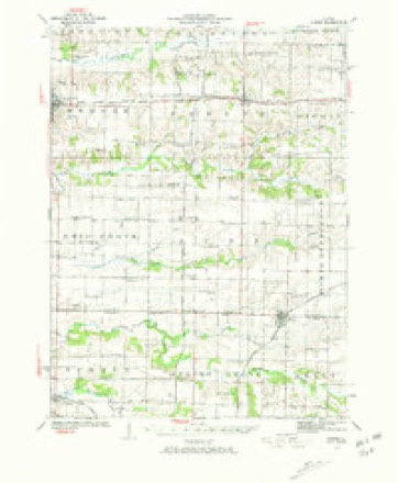
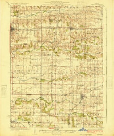
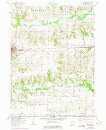
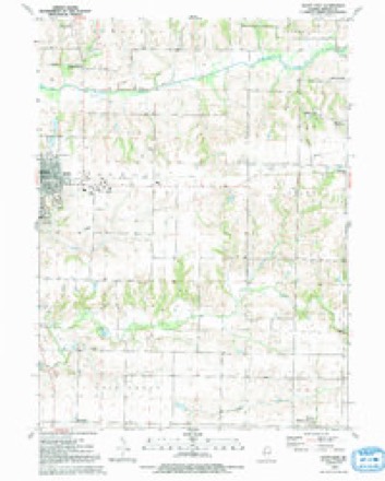
Topographic sheets covering this place
9 surveys from 12 printed sheetsMatched by testing this settlement's coordinate against the published boundary of every sheet in the United States Geological Survey's historical collection. Each opens the scanned sheet at the Survey.
- 1923 USGS Alexis quadrangle1:62500, 2 printings
- 1925 USGS Alexis quadrangle1:62500
- 1953 USGS Aledo East quadrangle1:24000, 2 printings
- 1958 USGS Davenport quadrangle1:250000, 2 printings
- 1961 USGS Davenport quadrangle1:250000
- 1962 USGS Davenport quadrangle1:250000
- 1984 USGS Aledo quadrangle1:100000
- 1989 USGS Aledo quadrangle1:100000
- 1992 USGS Aledo East quadrangle1:24000





In the county-history sources
50,218 words on this townshipHistory of Mercer County : Together with Biographical Matter, Statistics, Etc., Gathered from Mattter Furnished by the Mercer County Historical Society, Interviews with Old Settlers, County, Township and Other Records, and Extracts from Files of Papers, Pamphlets, and Such Other Sources As Have Been Available : Containing Also a Short History of Henderson County, published 1882 names this settlement in its chapter on Suez Township. These are the passages that mention it, exactly as the scans read.
The broad domain of Illinois did not afford a more inviting spot to the eye of the early pioneer than the territory embraced within the lines of what is now known as Suez township ; consequently that ])ai't of Mercer county has kept pace with any part of the state in settlement, in thrift, and in religious and educational progress. Along the crystal streams that flow through the township an abundance of timber grew, and, underlying portions of the township, inexhaustible beds of coal are found. Back from the streams a beautiful expanse of fertile prairie greeted the eye of the observer ; and, shortly after the close of the Black Hawk war, the snug log cabin began to take the place of the Indian wigwam ; the white-topped wagon, the lowing of cattle, and the sound of the axe announced the fact that the day of civilization was dawning. Among the first to cast their lot in Suez township we find the following names: David Williams and George Blake came together from the State of Indiana in 1835, the former locating on the S. W. i of Sec. 22, and the latter on the S. E. i of Sec. 21. In the same year James Stewart and family, Robert Pollock and family, and William Moore and family came from the State of Ohio. Mr. Moore located on the N. E. J of Sec. 5, James Stewart on K. E. ^ of Sec. 21, Robert Pollock on the W. ^ of Sec. 27.
In 1837 Asa Ransom, a native of j^ew York, located on the S. W. J of Sec. 3. In 1838 John Mauk located half a mile north of Suez postofhce. In 1837 the Pease familj came and located on section 20. In 1840 John and William Lafferty came from Trumbull county, Ohio, the former locating on section 21 and the latter on section 22. In 1841 John Greenwood bought the claim owned by Henry B. Fleharty and located thereon. The Bridger family were also among the earliest settlers. William Moore was the first blacksmith in the township, and William Martin the first carpenter.
Martin Pease, son of Pelatiah and Nancy Pease, was born in 1824, in Waldo county, Maine. In 1837 the family emigrated to Mercer county, Illinois, and located on section 20, in Suez township, the nearest postofiice being Spring Grove. He saw the men building the first school-house in the township, which was of logs, and stood on section 21. In 1847 he was married to Miss Martha A. Pollok, daughter of Robert Pollok, one of Mercer county's pioneers. The fruits of this marriage are seven children: Alonzo U., Nelson S. (deceased), Edwin (deceased), Charles R. (deceased), Mary I., Martin A., and May. Mr. and Mrs. Pease are both members of the United Presbyterian church, with which they united in 1850. In 1850 he bought land in section 20, and now owns a fine farm of 150 acres. On
Machine-read from a century-old scan, so expect the errors a machine makes: misspelled names, dropped words, stray characters.
Read the whole chapter on Suez Township - it names this place 6 more 6 times.
Mines and quarries near this place
1 within 5 milesRegional context, not property-specific evidence. The federal mineral resources record lists 1 working within 5 miles of Martin (historical): 1 past producer. None of them still produces. What was taken out: Clay. Distance is straight-line from the map coordinates, so a quarry counted here may appear on a neighbouring settlement's page as well.
| Where | Site | Commodity | Status | Recorded |
|---|---|---|---|---|
| Hydraulic-Press Brick Co. Shale Pit | Clay | Past Producer |
Nearest settlements
The eight closest, with where each one stands in the county. Distances are straight-line, computed from the Geographic Names Information System coordinates.
| Map | Place | Distance | Sheets |
|---|---|---|---|
| Burgess | 1.4 miles | 12 | |
| Norwood | 4.0 miles | 11 | |
| Gilchrist | 4.1 miles | 12 | |
| Viola | 4.7 miles | 12 | |
| Wanlock | 5.0 miles | 12 | |
| Shale City | 5.0 miles | 12 | |
| Sunbeam | 5.4 miles | 12 | |
| Old Gilchrist | 5.8 miles | 12 |
Provenance
This settlement is recorded in the Geographic Names Information System as feature 1720181. The sheet list is computed by point-in-boundary test against the United States Geological Survey's historical topographic inventory. Both are works of the United States government and carry no copyright under 17 U.S.C. 105.
Mines and quarries. USGS Mineral Resources Data System (MRDS) https://mrdata.usgs.gov/mrds/ A work of the United States government, no copyright under 17 U.S.C. 105.