 Block
Norwood, Illinois
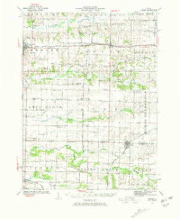
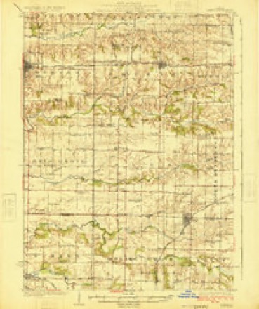
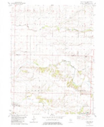
11 topographic sheets cover this place, the earliest surveyed in 1923 and the latest in 1989. It stands in Suez Township. It lies in ZIP code area 61412. The Survey maps it on the Little York quadrangle.
Topographic sheets covering this place
8 surveys from 11 printed sheetsMatched by testing this settlement's coordinate against the published boundary of every sheet in the United States Geological Survey's historical collection. Each opens the scanned sheet at the Survey.
- 1923 USGS Alexis quadrangle1:62500, 2 printings
- 1925 USGS Alexis quadrangle1:62500
- 1958 USGS Davenport quadrangle1:250000, 2 printings
- 1961 USGS Davenport quadrangle1:250000
- 1962 USGS Davenport quadrangle1:250000
- 1982 USGS Little York quadrangle1:24000, 2 printings
- 1984 USGS Aledo quadrangle1:100000
- 1989 USGS Aledo quadrangle1:100000





In the county-history sources
50,218 words on this townshipHistory of Mercer County : Together with Biographical Matter, Statistics, Etc., Gathered from Mattter Furnished by the Mercer County Historical Society, Interviews with Old Settlers, County, Township and Other Records, and Extracts from Files of Papers, Pamphlets, and Such Other Sources As Have Been Available : Containing Also a Short History of Henderson County, published 1882 names this settlement in its chapter on Suez Township. These are the passages that mention it, exactly as the scans read.
The first postofiice was established at the residence of Moses Decker, on the ]Sr. E. J of Sec. 3, in 1840. The next one was established on the S. W. J of Sec. 22, and was called North Henderson, Robert Pollock officiating as postmaster. Later the name was changed to Norwood. In 1839 a saw mill was built by Pelatiah Pease on the S. W. ^ of Sec. 21 on the banks of North Henderson creek, being propelled by the waters of that stream. In 1873 a steam grist mill was built by C. S. Hart at Norwood.
An abundance of timber grows along the banks of North Henderson creek, oak, hickory, walnut, linn, hard maple and elm being the predominant kinds. An occasional honey locust and cofiee tree may be seen. Wild crab apples, gooseberries, plums, grapes, strawberries and- blackberries, abounded in early times.
The above-named congregation was the outgrowth of a union of tlie "Associate " and "Associate Reform '' churches. In 1842, by order of the Associate Presbytery, of Iowa, the Bev. James G. Bruce preached in a small wooden house at the crossing of the roads one mile west of Norwood, which was then the residence of S. L. Brownh^e, and organized the Associate congregation, of Korth Henderson. The membership then numbered fifteen, whose names are as follows : James, Elizabeth, and Nancy Imbrie ; Robert and Mary Caldwell; John Humi)lireys and wife ; S. L. and Sarah Brownlee ; AVilliam and Mary Jane Caldwell; John W. and Sarah A. Caldwell, and Samuel and Maro-aret Graham. James Imbrie and Robert Caldwell were chosen elders.
Machine-read from a century-old scan, so expect the errors a machine makes: misspelled names, dropped words, stray characters.
Read the whole chapter on Suez Township - it names this place 9 more 9 times.
Storms near this place
3 since 2002Regional context, not property-specific evidence. The National Weather Service names Norwood in 3 storm reports between 2002 and 2024: 2 hail, 1 thunderstorm wind. No death or injury is recorded in these reports. Each account below is quoted exactly as the forecast office filed it, from the NOAA Storm Events Database, and each date opens the federal record of that event.
| When | Event | Place named | Harm | What the report says |
|---|---|---|---|---|
| April 2024 | Hail | Norwood | - | Location and time of the event was estimated. |
| March 2002 | Thunderstorm Wind | Norwood | - | Power lines down. |
| September 2019 | Hail | Norwood | - | no account filed |
Nearest settlements
The eight closest, with where each one stands in the county. Distances are straight-line, computed from the Geographic Names Information System coordinates.
| Map | Place | Distance | Sheets |
|---|---|---|---|
| Burgess | 2.6 miles | 12 | |
| Martin (historical) | 4.0 miles | 12 | |
| Sunbeam | 5.8 miles | 12 | |
| Gilchrist | 8.0 miles | 12 | |
| Viola | 8.3 miles | 12 | |
| North Henderson | 8.6 miles | 9 | |
| Seaton | 8.7 miles | 13 | |
| Wanlock | 9.0 miles | 12 |
Provenance
This settlement is recorded in the Geographic Names Information System as feature 414719. The sheet list is computed by point-in-boundary test against the United States Geological Survey's historical topographic inventory. Both are works of the United States government and carry no copyright under 17 U.S.C. 105.
Storms. NOAA National Centers for Environmental Information, Storm Events Database https://www.ncei.noaa.gov/stormevents/ A work of the United States government, no copyright under 17 U.S.C. 105. Narratives are quoted verbatim from the National Weather Service report and are not edited or summarised.