 Block
Griffin, Illinois
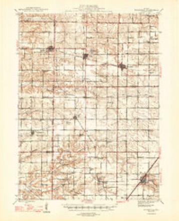
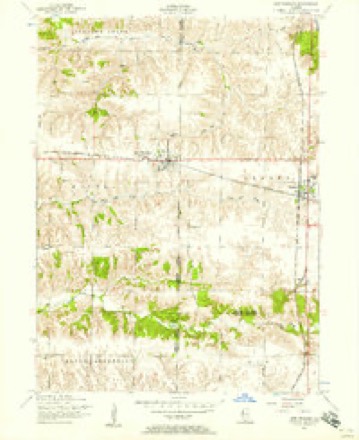
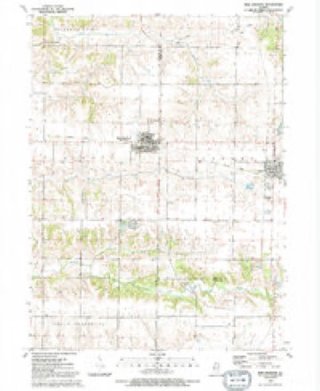
11 topographic sheets cover this place, the earliest surveyed in 1947 and the latest in 1991. It stands in Richland Grove Township. It lies in ZIP code area 61465. It stands on Parker Run. The Survey maps it on the New Windsor quadrangle.
Topographic sheets covering this place
8 surveys from 11 printed sheetsMatched by testing this settlement's coordinate against the published boundary of every sheet in the United States Geological Survey's historical collection. Each opens the scanned sheet at the Survey.
- 1947 USGS Woodhull quadrangle1:62500, 2 printings
- 1953 USGS New Windsor quadrangle1:24000, 2 printings
- 1958 USGS Davenport quadrangle1:250000, 2 printings
- 1961 USGS Davenport quadrangle1:250000
- 1962 USGS Davenport quadrangle1:250000
- 1984 USGS Aledo quadrangle1:100000
- 1989 USGS Aledo quadrangle1:100000
- 1991 USGS New Windsor quadrangle1:24000





In the county-history sources
3,318 words on this townshipPast and Present of Mercer County, Illinois, published 1914 names this settlement in its chapter on Richland Grove Township. These are the passages that mention it, exactly as the scans read.
Berlin was laid out by Abner Arrasmith and Jacob Walker on September 10, 1836. It was located on the southeast quarter of the northwest quarter of section 24. In 1869 the name of the village was changed to Swedona and nearly the entire original plat has been vacated in recent years. In this village, as before stated, Asa Mc- Murtry was the first storekeeper and Willis Peckenpaw the second. It was located on the state road between Knoxville and Rock Island and became a thriving village, having at one time a population of about five hundred. The name Swedona was adopted under the following circumstances: There was another town of that name in the state, whereupon a meeting of the village trustees was held and it was decided to change the title. S. F. Fleharty suggested the name Laverne and Leander Chilberg suggested Swedonia. The latter seemed a little too long and was shortened to Swedona, which was finally adopted. Dimmick & Shaw were among the first settlers in the village. Peter Metzler also lived here. A tavern was erected on the south side of the village and had a large patronage from people passing on the road from the Wabash country to the United States land office. Mr. Dimmick owned much of the town and a large farm adjoining. N. M. Chilberg located in the village at an early date. Soon afterward many other Swedes arrived and soon the population was almost wholly Swedish. Mr. Chilberg conducted a shoe shop. The first church there was the American Methodist Episcopal and is still standing in the village. There is no doubt that had it not been for this church the Village of Berlin or Swedona would long ago have been wiped out of existence. Griffin Brothers established tile works on section 34 in the '70s. They soon had a large trade, securing their clay from banks in that vicinity. In the '50s Waugh & Ellis put up a new flour mill in this vicinity and operated it by steam. It was 40x84 feet, three stories high and had four run of stones. George Walker was the miller in charge. They were called the *Richland Grove Steam Mills. Waugh & Ellis at the same time conducted there a large general store, selling almost all articles kept usually for sale in all stores in the West. They also mined coal and sold it to those who wished to purchase. The store was kept in one part of the mill and was patronized heavily in 1858. In the early '6os Mrs. Collison was murdered in Richland Grove Township by John Volentine. The latter had been drinking heavily at a saloon and may not have known what he was doing. In any event, he was arrested, tried and acquitted.
Passage source: Past and Present of Mercer County, Illinois, published 1914.
Machine-read from a century-old scan, so expect the errors a machine makes: misspelled names, dropped words, stray characters.
Storms near this place
7 since 2008Regional context, not property-specific evidence. The National Weather Service names Griffin in 7 storm reports between 2008 and 2024: 3 thunderstorm wind, 2 hail, 2 tornado. No death or injury is recorded in these reports. Each account below is quoted exactly as the forecast office filed it, from the NOAA Storm Events Database, and each date opens the federal record of that event.
| When | Event | Place named | Harm | What the report says |
|---|---|---|---|---|
| May 2017 | Tornado (EF1) | Griffin | $25,000 | Tornado was rated a higher end EF-1 with peak winds 105 mph, a path length of 5.73 miles with a max path width of 150 yards. This higher end EF-1 tornado caused damage to numerous farm outbuildings, a few homes and trees across Mercer and Henry counties. One house partially lost a roof while another was impelled by flying debris. Approximately 30 to 40 trees were snapped at the trunks, a couple of dozen were uprooted, with about 50 trees experiencing limb damage. This tornado continued into Henry county. |
| July 2008 | Thunderstorm Wind | Griffin | $25,000 | Wind gusts estimated to be 70 mph uprooted three mature trees, snapped 6 to 12 inch diameter tree limbs off of healthy trees, and ripped shingles off of some roofs about 2 miles north of New Windsor, IL at 610 am July 21. In addition, the outer rows of some area corn fields were leaning over at a 45 degree angle. |
| June 2024 | Thunderstorm Wind | Griffin | - | Several large tree branches over Highway 17, blocking the road. Time estimated from radar. |
| July 2014 | Tornado (EF1) | Griffin | - | This tornado was rated EF-1 with peak winds of 100 mph. Along its 2.78 mile path length, this tornado produced mainly crop and tree damage with numerous 1 to 3 inch tree limbs down as well as several large tree trunks snapped off. An outbuilding was also destroyed. |
| June 2014 | Thunderstorm Wind | Griffin | - | A trained spotter reported numerous small limbs down. Two limbs of 8 to 10 inches in diameter and 15 to 20 feet in length were also blown down. |
| May 2014 | Hail | Griffin | - | Quarter sized hail fell 4 miles northwest of New Windsor, IL at 330 pm CDT May 11. |
| July 2008 | Hail | Griffin | - | Nickel-sized hail fell 2 miles north of New Windsor, IL at 610 am July 21. |
Nearest settlements
The eight closest, with where each one stands in the county. Distances are straight-line, computed from the Geographic Names Information System coordinates.
| Map | Place | Distance | Sheets |
|---|---|---|---|
| Cable | 3.2 miles | 18 | |
| Swedona | 3.6 miles | 12 | |
| New Windsor | 3.6 miles | 11 | |
| Boden | 5.3 miles | 18 | |
| Sherrard | 5.5 miles | 18 | |
| Viola | 5.8 miles | 12 | |
| Matherville | 6.4 miles | 18 | |
| Preemption | 7.1 miles | 18 |
Provenance
This settlement is recorded in the Geographic Names Information System as feature 422761. The sheet list is computed by point-in-boundary test against the United States Geological Survey's historical topographic inventory. Both are works of the United States government and carry no copyright under 17 U.S.C. 105.
Storms. NOAA National Centers for Environmental Information, Storm Events Database https://www.ncei.noaa.gov/stormevents/ A work of the United States government, no copyright under 17 U.S.C. 105. Narratives are quoted verbatim from the National Weather Service report and are not edited or summarised.