 Block
Schapville, Illinois
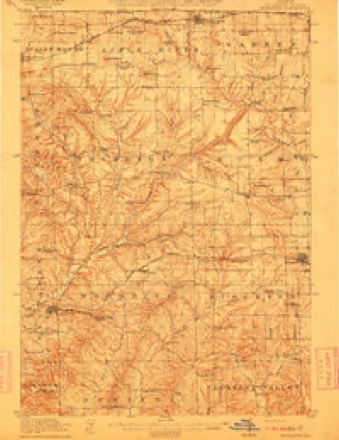
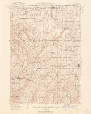
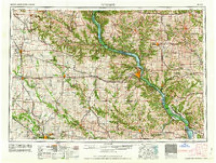
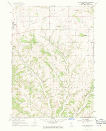
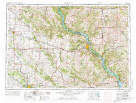
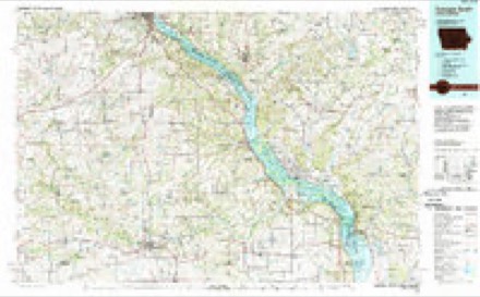
15 topographic sheets cover this place, the earliest surveyed in 1911 and the latest in 1984. It stands in Thompson Township. It lies in ZIP code area 61028. The Survey maps it on the Scales Mound East quadrangle.
Topographic sheets covering this place
8 surveys from 15 printed sheetsMatched by testing this settlement's coordinate against the published boundary of every sheet in the United States Geological Survey's historical collection. Each opens the scanned sheet at the Survey.
- 1911 USGS Elizabeth quadrangle1:62500, 2 printings
- 1936 USGS Elizabeth quadrangle1:62500, 2 printings
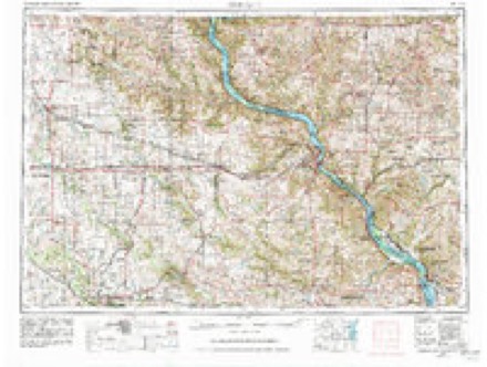
- 1959 USGS Dubuque quadrangle1:250000
- 1961 USGS Dubuque quadrangle1:250000
- 1962 USGS Dubuque quadrangle1:250000, 2 printings
- 1968 USGS Scales Mound East quadrangle1:24000, 2 printings
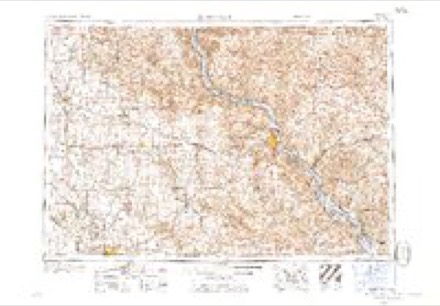
- 1976 USGS Dubuque quadrangle1:250000
- 1984 USGS Dubuque South quadrangle1:100000, 4 printings
What happened here
An account from the chapter on Thompson township. The inset identifies its exact source book and publication year.
M R S. Mary
owns 330 acres, valued at $6,600 ; she was born in Rush Tp. April 3,1845 ; was married March 20, 1862, to Wm. Westaby, a native of Lincolnshire, Eng.; he was killed Jan. 14, 1870, while rolling a log at Thompson's mills ; on Jan. 18, 1871, she married Richard Darnill, a native of England ; he died Sept. 29, 1874; she has six children : Joseph Henry, Nellie May, and Charles James Westaby; Richard Wm., Peter Gideon, and Frederick Edmond Darnill; she is independent in religion.
In the county-history sources
4,174 words on this townshipThe History of Jo Daviess County, Illinois, Containing a History of the County, Its Cities, Towns, Etc., a Biographical Directory of Its Citizens, War Record of Its Volunteers in the Late Rebellion ... History of the Northwest, History of Illinois ... Constitution of the United States, published 1878 names this settlement in its chapter on Thompson Township. These are the passages that mention it, exactly as the scans read.
FUNK REV. JOHN E. Pastor of the German Presbyterian Church, Schapville, P. O. Houghton ; born in Hesse Cassel, Aug. 13, 1848; came to Wis. in 1853 ; made his preparatory studies at Hazel Green ; was six years a student at the German Presbyterian Theological Seminary, Dubuque; received a call from the German Presbyterian Church of Frank Hill, Minn., while a student, accepted and officiated there two years; received and accepted a call from Nazareth Church, Gasconade Co., Mo., of which he was pastor 19 months, and in 1875 responded to a call from the pastor of which he is now pastor ; was married near Dubuque, Oct. 7, 1872, to Miss Sophia C., daughter of Henry Kortemeyer of that place ; she was born in Lippe Detmold, Germany, April 16, 1852 ; has three children : Lydia, born Jan. 17, 1874; Henry D., Nov. 5, 1875; and Jno. G., Sept. 19, 1877; Republican, and is highly spoken of as a zealous minister and exemplary man.
Passage source: The History of Jo Daviess County, Illinois, Containing a History of the County, Its Cities, Towns, Etc., a Biographical Directory of Its Citizens, War Record of Its Volunteers in the Late Rebellion ... History of the Northwest, History of Illinois ... Constitution of the United States, published 1878.
GRITRE GEORGE, Blacksmith; Schapville, Sec. 9 ; P. O. Houghton ; born in Hesse Cassel, Germany, in 1849 ; came to the United States in 1857 ; lived in Hazel Green, Wis., 15 years ; came to this Co. in 1870 ; Nov. 15, 1871, he married Miss Lena, daughter of Charles A. Cable; she was born in Galena in 1853; has four children: Henrietta, born Oct. 2, 1872; Emma S., April 17, 1874; Eveline, Jan. 17, 1876, and Matilda C., Nov. 10, 1877 ; owns 33 acres, residence and shop, valued at $2,500 ; Re publican, and Elder in the Gerrnan Presbyterian Church.
Passage source: The History of Jo Daviess County, Illinois, Containing a History of the County, Its Cities, Towns, Etc., a Biographical Directory of Its Citizens, War Record of Its Volunteers in the Late Rebellion ... History of the Northwest, History of Illinois ... Constitution of the United States, published 1878.
Machine-read from a century-old scan, so expect the errors a machine makes: misspelled names, dropped words, stray characters.
Read the whole chapter on Thompson Township - it names this place 1 more 1 time.
Fires near this place
5 since 2010Regional context, not property-specific evidence. The federal wildfire occurrence database lists 5 fires within 5 miles of Schapville between 2010 and 2011, burning about 22 acres in total. None started naturally. None was recorded as arson. Distance is straight-line from the map coordinates, so a fire counted here may appear on a neighbouring settlement's page as well.
| Reported cause | Fires |
|---|---|
| Debris and open burning | 2 |
| Missing data/not specified/undetermined | 2 |
| Equipment and vehicle use | 1 |
The most recent of them, most recent first, with the day each was reported and the service that recorded it.
| Date | Cause | Size | Reported by | Name on the report |
|---|---|---|---|---|
| 19 April 2010 | Missing data/not specified/undetermined | under an acre | Illinois Division of Forestry Resources | SCHAMPER |
| 9 March 2011 | Equipment and vehicle use | 4.0 acres | Illinois Division of Forestry Resources | GRENDA |
| 22 March 2010 | Debris and open burning | 2.0 acres | Illinois Division of Forestry Resources | TERRITORY |
| 18 March 2010 | Debris and open burning | 15 acres | Illinois Division of Forestry Resources | WOODBINE |
| 17 March 2010 | Missing data/not specified/undetermined | 1.0 acres | Illinois Division of Forestry Resources | SCOUT |
Settlements close enough to share some of these fires:
Mines and quarries near this place
9 within 5 milesRegional context, not property-specific evidence. The federal mineral resources record lists 9 workings within 5 miles of Schapville: 4 past producers, 4 producers, 1 unknown. 4 still produce. What was taken out: Stone, Crushed/Broken, Lead, Zinc, Lead, Zinc. Distance is straight-line from the map coordinates, so a quarry counted here may appear on a neighbouring settlement's page as well.
| Where | Site | Commodity | Status | Recorded |
|---|---|---|---|---|
| Rockford Mining and Milling Co. Mine | Lead, Zinc | Unknown | 1905, 1915 | |
| Wishon Mine | Lead, Zinc | Past Producer | 1865, 1910 | |
| Haggerty Mine | Lead | Past Producer | ||
| Bahr Quarry | Stone, Crushed/Broken | Past Producer | ||
| Branegar #1 | Stone, Crushed/Broken | Producer | ||
| Brown Quarry | Stone, Crushed/Broken | Producer | ||
| Distler Quarry | Stone, Crushed/Broken | Producer | ||
| Schultz Quarry | Stone, Crushed/Broken | Producer | ||
| W. Hammer Quarry | Stone, Crushed/Broken | Past Producer |
Nearest settlements
The eight closest, with where each one stands in the county. Distances are straight-line, computed from the Geographic Names Information System coordinates.
| Map | Place | Distance | Sheets |
|---|---|---|---|
| Apple Canyon Lake | 3.1 miles | 15 | |
| Woodbine | 4.9 miles | 14 | |
| Guilford | 5.2 miles | 16 | |
| Elizabeth | 5.5 miles | 14 | |
| Scales Mound | 6.0 miles | 16 | |
| Weston (historical) | 6.5 miles | 18 | |
| Rodden | 7.7 miles | 18 | |
| North Hanover | 8.1 miles | 18 |
Provenance
This settlement is recorded in the Geographic Names Information System as feature 418074. The sheet list is computed by point-in-boundary test against the United States Geological Survey's historical topographic inventory. Both are works of the United States government and carry no copyright under 17 U.S.C. 105.
Wildfire. Short, Karen C. 2022. Spatial wildfire occurrence data for the United States, 1992-2020 [FPA_FOD_20221014]. 6th Edition. Fort Collins, CO: Forest Service Research Data Archive. https://doi.org/10.2737/RDS-2013-0009.6 Collected with United States Government funding and usable without additional permissions or fees.
Mines and quarries. USGS Mineral Resources Data System (MRDS) https://mrdata.usgs.gov/mrds/ A work of the United States government, no copyright under 17 U.S.C. 105.