 Block
Damascus, Illinois
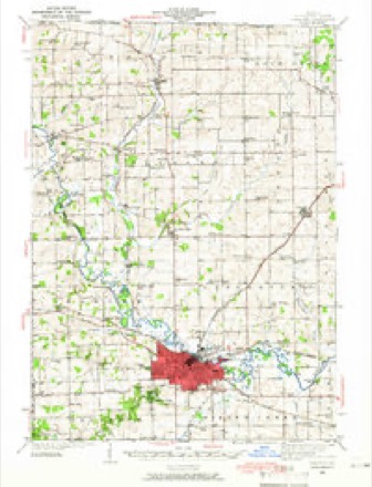
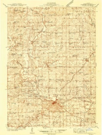
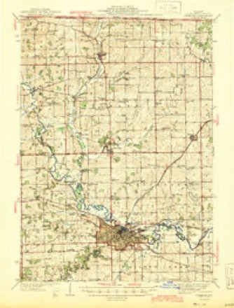
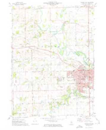
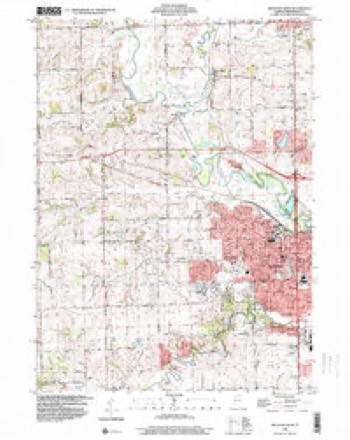
15 topographic sheets cover this place, the earliest surveyed in 1939 and the latest in 1998. It stands in Harlem Township. It lies in ZIP code area 61032. The Survey maps it on the Freeport West quadrangle. It stands 771 feet above sea level.
Topographic sheets covering this place
10 surveys from 15 printed sheetsMatched by testing this settlement's coordinate against the published boundary of every sheet in the United States Geological Survey's historical collection. Each opens the scanned sheet at the Survey.
- 1939 USGS Freeport quadrangle1:62500
- 1939 USGS Freeport quadrangle1:48000
- 1944 USGS Freeport quadrangle1:62500
- 1954 USGS Rockford quadrangle1:250000
- 1955 USGS Rockford quadrangle1:250000
- 1958 USGS Rockford quadrangle1:250000, 4 printings
- 1963 USGS Rockford quadrangle1:250000
- 1971 USGS Freeport West quadrangle1:24000, 2 printings
- 1981 USGS Rockford quadrangle1:100000, 2 printings
- 1998 USGS Freeport West quadrangle1:24000





In the county-history sources
11,298 words on this townshipThe History of Stephenson County, Illinois : Containing ... Biographical Sketches ... War Record ... Statistics ... Portraits of Early Settlers ... History of the Northwest, History of Illinois, &c. .., published 1880 names this settlement in its chapter on Harlem Township. These are the passages that mention it, exactly as the scans read.
OeORGrE F. SCHOENE, farmer, Sees. 5 and 8 ; P. 0. Damascus ; born in Baden, Germany, 17th of May, 1838 ; left for America in 1846 ; landed in New York, and went to Hamburg, Erie Co. ; carried on the dairy business ten years, when he took the Western fever, sold out and went to Peoria, 111., where he was taken sick, and remained from August to next April ; his mother and family had followed him west, going into Iowa ; hearing that he was sick, his brother went down and took him to Dubuque, Iowa ; from there they came to Freeport ; from there went to a place on Sec. 11 and worked for T. Cockrell ten years ; he then bought his present farm, located on Sees. 5 and 8, of 120 acres, valued at $50 per acre. He has held township and school offices, is a Democrat, and has been a member of the Lutheran Church. On Nov. 7, 1865, he married Miss Louisa Yerk, of Pennsylvania ; they had four children, two living - Emily, born in 1874 ; and Mary, 1877 ; two deceased; adopted one boy.
Passage source: The History of Stephenson County, Illinois : Containing ... Biographical Sketches ... War Record ... Statistics ... Portraits of Early Settlers ... History of the Northwest, History of Illinois, &c. .., published 1880.
Machine-read from a century-old scan, so expect the errors a machine makes: misspelled names, dropped words, stray characters.
Read the whole chapter on Harlem Township - it names this place 5 more 5 times.
Fires near this place
9 since 2004Regional context, not property-specific evidence. The federal wildfire occurrence database lists 9 fires within 5 miles of Damascus between 2004 and 2017, burning about 22 acres in total. None started naturally. 1 was recorded as arson. Distance is straight-line from the map coordinates, so a fire counted here may appear on a neighbouring settlement's page as well.
| Reported cause | Fires |
|---|---|
| Debris and open burning | 4 |
| Smoking | 2 |
| Missing data/not specified/undetermined | 1 |
| Recreation and ceremony | 1 |
| Arson/incendiarism | 1 |
The most recent of them, most recent first, with the day each was reported and the service that recorded it.
| Date | Cause | Size | Reported by | Name on the report |
|---|---|---|---|---|
| 14 May 2013 | Debris and open burning | 4.0 acres | Illinois Division of Forestry Resources | 13-0000038 |
| 7 April 2014 | Debris and open burning | 1.0 acres | Illinois Division of Forestry Resources | 14-0000028 |
| 13 April 2004 | Arson/incendiarism | 10 acres | Illinois State Fire Marshal's Office | not named |
| 11 April 2014 | Smoking | 1.0 acres | Illinois Division of Forestry Resources | 14-0000033 |
| 1 April 2010 | Smoking | under an acre | Illinois Division of Forestry Resources | 1024 |
| 22 March 2004 | Recreation and ceremony | 5.0 acres | Illinois State Fire Marshal's Office | not named |
| 21 March 2017 | Debris and open burning | under an acre | Illinois Division of Forestry Resources | 17-0000028 |
| 1 December 2017 | Debris and open burning | under an acre | Illinois Division of Forestry Resources | 17-0000125 |
Settlements close enough to share some of these fires:
Mines and quarries near this place
10 of 24 shownRegional context, not property-specific evidence. The federal mineral resources record lists 24 workings within 5 miles of Damascus: 18 past producers, 3 producers, 2 occurrences, 1 prospect. 3 still produce. What was taken out: Stone, Crushed/Broken, Copper. Distance is straight-line from the map coordinates, so a quarry counted here may appear on a neighbouring settlement's page as well.
| Where | Site | Commodity | Status | Recorded |
|---|---|---|---|---|
| Erin Mound | Copper | Occurrence | ||
| Erin Mound | Copper | Prospect | ||
| Economy Pit | Stone, Crushed/Broken | Producer | ||
| Finkbinder | Stone, Crushed/Broken | Past Producer | ||
| H. Homan Quarry | Stone, Crushed/Broken | Past Producer | ||
| J. Wagner Quarry | Stone, Crushed/Broken | Past Producer | ||
| Jaeger Pit | Stone, Crushed/Broken | Past Producer | ||
| Limestone Prospect | Stone, Crushed/Broken | Occurrence | ||
| Lobdell Quarry | Stone, Crushed/Broken | Producer | ||
| Mills Quarry | Stone, Crushed/Broken | Past Producer |
Storms near this place
5 since 2008Regional context, not property-specific evidence. The National Weather Service names Damascus in 5 storm reports between 2008 and 2026: 2 hail, 2 thunderstorm wind, 1 flash flood. No death or injury is recorded in these reports. Each account below is quoted exactly as the forecast office filed it, from the NOAA Storm Events Database, and each date opens the federal record of that event.
| When | Event | Place named | Harm | What the report says |
|---|---|---|---|---|
| June 2018 | Flash Flood | Damascus | - | Spotters reported 2 to 3 feet of water over some intersections in Freeport due to at least 4 inches of rain over several hours. Flooding also occurred along Yellow Creek. |
| June 2014 | Thunderstorm Wind | Damascus | - | Law enforcement reported a tree down on Flansburg Road between Cook and Wagner Road. |
| August 2010 | Thunderstorm Wind | Damascus | - | Wind gusts estimated to be 65 mph blew down a 10 inch diameter tree limb about 7 miles northwest of Freeport, IL around 258 pm CDT August 20. |
| June 2008 | Hail | Damascus | - | Nickel-sized hail fell about 3 miles west of Cedarville, IL at 2:53 pm June 20. |
| March 2026 | Hail | Damascus | - | no account filed |
Nearest settlements
The eight closest, with where each one stands in the county. Distances are straight-line, computed from the Geographic Names Information System coordinates.
| Map | Place | Distance | Sheets |
|---|---|---|---|
| Scioto Mills | 2.3 miles | 15 | |
| Red Oak | 2.3 miles | 13 | |
| Cedarville | 3.9 miles | 13 | |
| Buena Vista | 4.0 miles | 13 | |
| Eleroy | 4.0 miles | 14 | |
| Salem | 4.3 miles | 14 | |
| McConnell | 4.5 miles | 13 | |
| Willow Lake | 4.6 miles | 15 |
Elsewhere
Matched on this settlement's Geographic Names Information System number rather than its name, so it cannot be a different place of the same name in another state.
| Wikipedia article on Damascus | An encyclopaedic summary. Its text is share-alike, so it is linked here rather than copied. |
| Wikidata item Q5212019 | The structured record the population and elevation above come from. Public domain (CC0). |
Provenance
This settlement is recorded in the Geographic Names Information System as feature 422602. The sheet list is computed by point-in-boundary test against the United States Geological Survey's historical topographic inventory. Both are works of the United States government and carry no copyright under 17 U.S.C. 105.
Wildfire. Short, Karen C. 2022. Spatial wildfire occurrence data for the United States, 1992-2020 [FPA_FOD_20221014]. 6th Edition. Fort Collins, CO: Forest Service Research Data Archive. https://doi.org/10.2737/RDS-2013-0009.6 Collected with United States Government funding and usable without additional permissions or fees.
Mines and quarries. USGS Mineral Resources Data System (MRDS) https://mrdata.usgs.gov/mrds/ A work of the United States government, no copyright under 17 U.S.C. 105.
Storms. NOAA National Centers for Environmental Information, Storm Events Database https://www.ncei.noaa.gov/stormevents/ A work of the United States government, no copyright under 17 U.S.C. 105. Narratives are quoted verbatim from the National Weather Service report and are not edited or summarised.