 Block
Buena Vista, Illinois
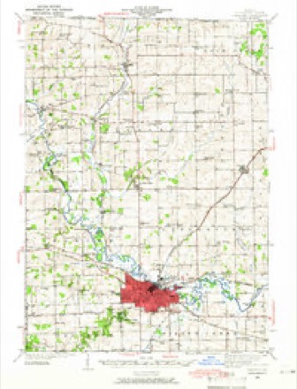
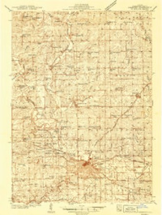
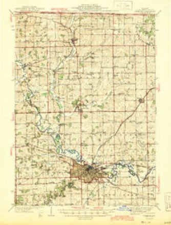
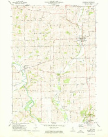
13 topographic sheets cover this place, the earliest surveyed in 1939 and the latest in 1981. It stands in Buckeye Township. It lies in ZIP code area 61032. The Survey maps it on the Orangeville quadrangle. It stands 797 feet above sea level.
Topographic sheets covering this place
9 surveys from 13 printed sheetsMatched by testing this settlement's coordinate against the published boundary of every sheet in the United States Geological Survey's historical collection. Each opens the scanned sheet at the Survey.
- 1939 USGS Freeport quadrangle1:62500
- 1939 USGS Freeport quadrangle1:48000
- 1944 USGS Freeport quadrangle1:62500
- 1954 USGS Rockford quadrangle1:250000
- 1955 USGS Rockford quadrangle1:250000
- 1958 USGS Rockford quadrangle1:250000, 4 printings
- 1963 USGS Rockford quadrangle1:250000
- 1971 USGS Orangeville quadrangle1:24000
- 1981 USGS Rockford quadrangle1:100000, 2 printings





In the county-history sources
18,391 words on this townshipThe History of Stephenson County, Illinois : Containing ... Biographical Sketches ... War Record ... Statistics ... Portraits of Early Settlers ... History of the Northwest, History of Illinois, &c. .., published 1880 names this settlement in its chapter on Buckeye Township. These are the passages that mention it, exactly as the scans read.
Previous to the adoption of the act empowering the incorporation of townships. Buckeye Township was known as Center Precinct, which comprehended the territory that has since been subdivided into Buckeye, Dakota, Harlem and Lancaster Townships. This wajS the case as late as August, 1838, for, on the 6th of that month, an election was held at the house of Josiah Clingman, in Center Precinct, for State officers, at which John Edwards received twentyfive votes for Governor, and Stephen A. Douglas seven votes for Congress ; Ira
Passage source: The History of Stephenson County, Illinois : Containing ... Biographical Sketches ... War Record ... Statistics ... Portraits of Early Settlers ... History of the Northwest, History of Illinois, &c. .., published 1880.
Among those who came in 1838, was James McGhee, Adrian Lucas and others, and it was in this year that the first marriage known to have taken place in Buckeye was recorded. Robert Jones and Mary Herlacher were united in indissoluble bonds at the residence of Dr. Van Valzah, the Rev. Mr. McKean being the clergyman. In those days, pretentious weddings, with the accompaniments of bridal presents, tours, etc., were unknown factors of social life, and not generally indulged. The bridegroom escorted his wife to the cabin he had erected, as above mentioned, and began his dual existence without the accessories thereto now deemed indispensable to prosperity and happiness. On the 23d of June following, David Jones was born to the couple, the first birth of record in the township. John Murdaugh and Benjamin Bennett were also among the arrivals this year.
Passage source: The History of Stephenson County, Illinois : Containing ... Biographical Sketches ... War Record ... Statistics ... Portraits of Early Settlers ... History of the Northwest, History of Illinois, &c. .., published 1880.
In 1840, the population began once more to increase. The Pottawatomies and Winnebagoes still flourished in the vicinity, and had their camp at the mouth of Richland Creek ; but their presence deterred no one from venturing into the neighborhood and setting up a home. J. B. Clingman came this year, as did also Philip Reitzell and George Reitzell, who settled near where Buena Vista now is; Henry Wohllford, John Fryebarger, Richard Parriott, Jr., Franklin Scott, George Ilgen, who afterward laid out Cedarville, a man named Eddy, etc. Indeed, 1840, was the golden year of Buckeye Township, so far as the increase in population and development of resources were concerned. Farms were opened, homes prepared, and, notwithstanding the " hard life " that was imposed upon settlers, the county and township began to fill up quite rapidly.
Passage source: The History of Stephenson County, Illinois : Containing ... Biographical Sketches ... War Record ... Statistics ... Portraits of Early Settlers ... History of the Northwest, History of Illinois, &c. .., published 1880.
Machine-read from a century-old scan, so expect the errors a machine makes: misspelled names, dropped words, stray characters.
Read the whole chapter on Buckeye Township - it names this place 19 more 19 times.
Fires near this place
2 since 2004Regional context, not property-specific evidence. The federal wildfire occurrence database lists 2 fires within 5 miles of Buena Vista in 2004, burning about 110 acres in total. None started naturally. 1 was recorded as arson. Distance is straight-line from the map coordinates, so a fire counted here may appear on a neighbouring settlement's page as well.
| Reported cause | Fires |
|---|---|
| Arson/incendiarism | 1 |
| Recreation and ceremony | 1 |
The most recent of them, most recent first, with the day each was reported and the service that recorded it.
| Date | Cause | Size | Reported by | Name on the report |
|---|---|---|---|---|
| 5 April 2004 | Recreation and ceremony | 100 acres | Illinois State Fire Marshal's Office | not named |
| 13 April 2004 | Arson/incendiarism | 10 acres | Illinois State Fire Marshal's Office | not named |
Settlements close enough to share some of these fires:
Mines and quarries near this place
10 of 16 shownRegional context, not property-specific evidence. The federal mineral resources record lists 16 workings within 5 miles of Buena Vista: 13 past producers, 2 producers, 1 occurrence. 2 still produce. What was taken out: Stone, Crushed/Broken. Distance is straight-line from the map coordinates, so a quarry counted here may appear on a neighbouring settlement's page as well.
| Where | Site | Commodity | Status | Recorded |
|---|---|---|---|---|
| J. Wagner Quarry | Stone, Crushed/Broken | Past Producer | ||
| Jaeger Pit | Stone, Crushed/Broken | Past Producer | ||
| Limestone Prospect | Stone, Crushed/Broken | Occurrence | ||
| Lobdell Quarry | Stone, Crushed/Broken | Producer | ||
| Monte Quarry | Stone, Crushed/Broken | Producer | ||
| Unnamed Limestone Quarry | Stone, Crushed/Broken | Past Producer | ||
| Unnamed Limestone Quarry | Stone, Crushed/Broken | Past Producer | ||
| Unnamed Limestone Quarry | Stone, Crushed/Broken | Past Producer | ||
| Unnamed Limestone Quarry | Stone, Crushed/Broken | Past Producer | ||
| Unnamed Limestone Quarry | Stone, Crushed/Broken | Past Producer |
Storms near this place
6 since 2009Regional context, not property-specific evidence. The National Weather Service names Buena Vista in 6 storm reports between 2009 and 2023: 3 thunderstorm wind, 1 tornado, 1 hail, 1 flash flood. No death or injury is recorded in these reports. Each account below is quoted exactly as the forecast office filed it, from the NOAA Storm Events Database, and each date opens the federal record of that event.
| When | Event | Place named | Harm | What the report says |
|---|---|---|---|---|
| June 2009 | Thunderstorm Wind | Buena Vista | $100,000 | Wind gusts estimated to be 70 mph blew some farm equipment over in a nearby farm field about 3.5 miles southwest of Orangeville, IL around 430 pm June 1. The equipment was laying to the south. It was determined that downburst winds caused this damage. Time estimated. |
| June 2009 | Tornado (EF0) | Buena Vista | $100,000 | A tornado briefly touched down about 2 miles southwest of Orangeville, IL around 430 pm June 1. Several trees were snapped at the trunk. Tall grasses along W Brush Creek Rd were laying down to the east. A tin roof was blown off of a shed to the east. A witness inside a barn described windows blown in, paint sandblasted off walls, and hay blowing out the west door being carried north of barn. An empty grain wagon was pushed 25 yards northeast of barn. Four calf huts were picked up by the wind, moved, and one was apparently lofted a half mile down the road to the northeast. Sheet metal was bent and twisted inside a grain bin. A hay conveyor rolled twice. A witness described heavy rain, then mud preceding wind. Another witness described seeing a funnel cloud shape before experiencing strong winds. They were unable to determine if there was rotation due to the wind speed and rain. A pine tree was uprooted along with small branches down. Time estimated. |
| June 2009 | Thunderstorm Wind | Buena Vista | $15,000 | A large tree branch fell down on car about 1 mile southwest of Orangeville, IL around 430 pm June 1. A witness reported very heavy rain with about a 20 second long duration of high winds. There was a lot of scattered small debris mixed in with the rain and wind that sounded like popcorn hitting the side of the house. It was determined that this damage was caused by stright-line winds. Time estimated. |
| July 2023 | Thunderstorm Wind | Buena Vista | - | Report from mping of trees being uprooted or snapped. |
| July 2017 | Flash Flood | Buena Vista | - | Local law enforcement reported portions of several county roads closed due to high water. |
| June 2009 | Hail | Buena Vista | - | Quarter-sized hail fell about 2 miles southwest of Orangeville, IL around 342 pm June 25. |
Nearest settlements
The eight closest, with where each one stands in the county. Distances are straight-line, computed from the Geographic Names Information System coordinates.
| Map | Place | Distance | Sheets |
|---|---|---|---|
| Buckhorn Corners | 2.1 miles | 13 | |
| Red Oak | 2.3 miles | 13 | |
| McConnell | 2.9 miles | 13 | |
| Orangeville | 3.5 miles | 13 | |
| Damascus | 4.0 miles | 15 | |
| Cedarville | 4.2 miles | 13 | |
| Oneco | 4.3 miles | 13 | |
| Scioto Mills | 4.8 miles | 15 |
Elsewhere
Matched on this settlement's Geographic Names Information System number rather than its name, so it cannot be a different place of the same name in another state.
| Wikipedia article on Buena Vista | An encyclopaedic summary. Its text is share-alike, so it is linked here rather than copied. |
| Wikidata item Q4985419 | The structured record the population and elevation above come from. Public domain (CC0). |
Provenance
This settlement is recorded in the Geographic Names Information System as feature 405152. The sheet list is computed by point-in-boundary test against the United States Geological Survey's historical topographic inventory. Both are works of the United States government and carry no copyright under 17 U.S.C. 105.
Wildfire. Short, Karen C. 2022. Spatial wildfire occurrence data for the United States, 1992-2020 [FPA_FOD_20221014]. 6th Edition. Fort Collins, CO: Forest Service Research Data Archive. https://doi.org/10.2737/RDS-2013-0009.6 Collected with United States Government funding and usable without additional permissions or fees.
Mines and quarries. USGS Mineral Resources Data System (MRDS) https://mrdata.usgs.gov/mrds/ A work of the United States government, no copyright under 17 U.S.C. 105.
Storms. NOAA National Centers for Environmental Information, Storm Events Database https://www.ncei.noaa.gov/stormevents/ A work of the United States government, no copyright under 17 U.S.C. 105. Narratives are quoted verbatim from the National Weather Service report and are not edited or summarised.