 Block
Red Oak, Illinois
13 topographic sheets cover this place, the earliest surveyed in 1939 and the latest in 1981. It stands in Buckeye Township. It lies in ZIP code area 61032. It stands on Cedar Creek. The Survey maps it on the Orangeville quadrangle.
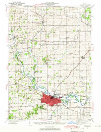
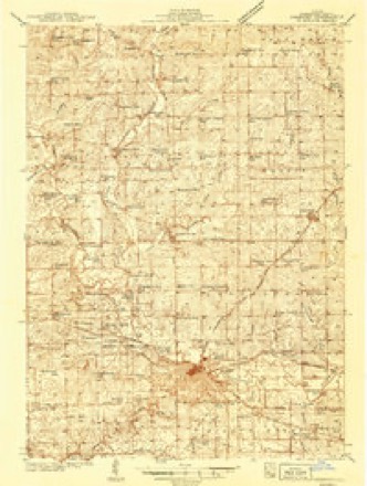
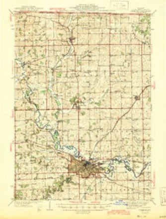
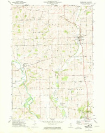
Topographic sheets covering this place
9 surveys from 13 printed sheetsMatched by testing this settlement's coordinate against the published boundary of every sheet in the United States Geological Survey's historical collection. Each opens the scanned sheet at the Survey.
- 1939 USGS Freeport quadrangle1:62500
- 1939 USGS Freeport quadrangle1:48000
- 1944 USGS Freeport quadrangle1:62500
- 1954 USGS Rockford quadrangle1:250000
- 1955 USGS Rockford quadrangle1:250000
- 1958 USGS Rockford quadrangle1:250000, 4 printings
- 1963 USGS Rockford quadrangle1:250000
- 1971 USGS Orangeville quadrangle1:24000
- 1981 USGS Rockford quadrangle1:100000, 2 printings





In the county-history sources
18,391 words on this townshipThe History of Stephenson County, Illinois : Containing ... Biographical Sketches ... War Record ... Statistics ... Portraits of Early Settlers ... History of the Northwest, History of Illinois, &c. .., published 1880 names this settlement in its chapter on Buckeye Township. These are the passages that mention it, exactly as the scans read.
Previous to the adoption of the act empowering the incorporation of townships. Buckeye Township was known as Center Precinct, which comprehended the territory that has since been subdivided into Buckeye, Dakota, Harlem and Lancaster Townships. This wajS the case as late as August, 1838, for, on the 6th of that month, an election was held at the house of Josiah Clingman, in Center Precinct, for State officers, at which John Edwards received twentyfive votes for Governor, and Stephen A. Douglas seven votes for Congress ; Ira
Passage source: The History of Stephenson County, Illinois : Containing ... Biographical Sketches ... War Record ... Statistics ... Portraits of Early Settlers ... History of the Northwest, History of Illinois, &c. .., published 1880.
In those primitive times, the inhabitants depended mainly upon their guns, and skill in the use, for meat, which was obtained from the herds of deer and flocks of prairie chickens which were to be found in the timber. Flour was almost an unknown quantity, and until mills were erected on water-courses the settlers were obliged to obtain that commodity either at Galena or Wolf Creek. When this was impossible, they scraped corn on what were known as " gritters," by which a coarse-grained meal was obtained, from which " dodgers " were baked, and the pangs of hunger mitigated.
Passage source: The History of Stephenson County, Illinois : Containing ... Biographical Sketches ... War Record ... Statistics ... Portraits of Early Settlers ... History of the Northwest, History of Illinois, &c. .., published 1880.
West years before from Pennsylvania, and made claim to a quarter-section of land, on -which the town, in part, now stands, but removed to a distant part of the county and engaged in farming. About the year mentioned, he procured a survey of the town site, laid off streets, town lots and other landed appurtenances appropriate to the object, and waited the rush of purchasers of his realty. Marcus Montelius oflSciated as surveyor, and, beyond the log cabin and mill erected by Dr. Van Valzah, no other edifices were to be] seen in the vicinity. For some months the tide of emigration failed to realize his possibly too sanguine expectations, and it was not for two years thereafter that buildings began to add the spice of variety to the scenes of woodland and prairie visible on all sides. Some time in 1850, James Canfield established a brick-kiln two miles west of the prospective village, and from this date improvements proved other than exceptions.
Passage source: The History of Stephenson County, Illinois : Containing ... Biographical Sketches ... War Record ... Statistics ... Portraits of Early Settlers ... History of the Northwest, History of Illinois, &c. .., published 1880.
Machine-read from a century-old scan, so expect the errors a machine makes: misspelled names, dropped words, stray characters.
Read the whole chapter on Buckeye Township - it names this place 5 more 5 times.
Fires near this place
5 since 2004Regional context, not property-specific evidence. The federal wildfire occurrence database lists 5 fires within 5 miles of Red Oak between 2004 and 2017, burning about 16 acres in total. None started naturally. 1 was recorded as arson. Distance is straight-line from the map coordinates, so a fire counted here may appear on a neighbouring settlement's page as well.
| Reported cause | Fires |
|---|---|
| Debris and open burning | 3 |
| Smoking | 1 |
| Arson/incendiarism | 1 |
The most recent of them, most recent first, with the day each was reported and the service that recorded it.
| Date | Cause | Size | Reported by | Name on the report |
|---|---|---|---|---|
| 14 May 2013 | Debris and open burning | 4.0 acres | Illinois Division of Forestry Resources | 13-0000038 |
| 7 April 2014 | Debris and open burning | 1.0 acres | Illinois Division of Forestry Resources | 14-0000028 |
| 13 April 2004 | Arson/incendiarism | 10 acres | Illinois State Fire Marshal's Office | not named |
| 1 April 2010 | Smoking | under an acre | Illinois Division of Forestry Resources | 1024 |
| 21 March 2017 | Debris and open burning | under an acre | Illinois Division of Forestry Resources | 17-0000028 |
Settlements close enough to share some of these fires:
Mines and quarries near this place
10 of 17 shownRegional context, not property-specific evidence. The federal mineral resources record lists 17 workings within 5 miles of Red Oak: 14 past producers, 2 producers, 1 occurrence. 2 still produce. What was taken out: Stone, Crushed/Broken. Distance is straight-line from the map coordinates, so a quarry counted here may appear on a neighbouring settlement's page as well.
| Where | Site | Commodity | Status | Recorded |
|---|---|---|---|---|
| Economy Pit | Stone, Crushed/Broken | Producer | ||
| H. Homan Quarry | Stone, Crushed/Broken | Past Producer | ||
| J. Wagner Quarry | Stone, Crushed/Broken | Past Producer | ||
| Jaeger Pit | Stone, Crushed/Broken | Past Producer | ||
| Limestone Prospect | Stone, Crushed/Broken | Occurrence | ||
| Lobdell Quarry | Stone, Crushed/Broken | Producer | ||
| Unnamed Limestone Quarry | Stone, Crushed/Broken | Past Producer | ||
| Unnamed Limestone Quarry | Stone, Crushed/Broken | Past Producer | ||
| Unnamed Limestone Quarry | Stone, Crushed/Broken | Past Producer | ||
| Unnamed Limestone Quarry | Stone, Crushed/Broken | Past Producer |
Storms near this place
1 since 2023Regional context, not property-specific evidence. The National Weather Service names Red Oak in 1 storm report in 2023: 1 hail. No death or injury is recorded in these reports. Each account below is quoted exactly as the forecast office filed it, from the NOAA Storm Events Database, and each date opens the federal record of that event.
| When | Event | Place named | Harm | What the report says |
|---|---|---|---|---|
| April 2023 | Hail | Red Oak | - | no account filed |
Nearest settlements
The eight closest, with where each one stands in the county. Distances are straight-line, computed from the Geographic Names Information System coordinates.
| Map | Place | Distance | Sheets |
|---|---|---|---|
| Damascus | 2.3 miles | 15 | |
| Buena Vista | 2.3 miles | 13 | |
| Cedarville | 2.3 miles | 13 | |
| Scioto Mills | 2.5 miles | 15 | |
| Buckhorn Corners | 2.9 miles | 13 | |
| McConnell | 4.3 miles | 13 | |
| Willow Lake | 4.5 miles | 15 | |
| West Junction | 5.4 miles | 15 |
Provenance
This settlement is recorded in the Geographic Names Information System as feature 416454. The sheet list is computed by point-in-boundary test against the United States Geological Survey's historical topographic inventory. Both are works of the United States government and carry no copyright under 17 U.S.C. 105.
Wildfire. Short, Karen C. 2022. Spatial wildfire occurrence data for the United States, 1992-2020 [FPA_FOD_20221014]. 6th Edition. Fort Collins, CO: Forest Service Research Data Archive. https://doi.org/10.2737/RDS-2013-0009.6 Collected with United States Government funding and usable without additional permissions or fees.
Mines and quarries. USGS Mineral Resources Data System (MRDS) https://mrdata.usgs.gov/mrds/ A work of the United States government, no copyright under 17 U.S.C. 105.
Storms. NOAA National Centers for Environmental Information, Storm Events Database https://www.ncei.noaa.gov/stormevents/ A work of the United States government, no copyright under 17 U.S.C. 105. Narratives are quoted verbatim from the National Weather Service report and are not edited or summarised.