 Block
Portland, Illinois
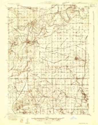
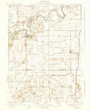
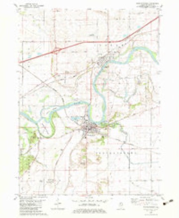
11 topographic sheets cover this place, the earliest surveyed in 1932 and the latest in 1985. It stands in Portland Township. It lies in ZIP code area 61277. It lies near Thunderbolt Hill. The Survey maps it on the Prophetstown quadrangle.
Topographic sheets covering this place
6 surveys from 11 printed sheetsMatched by testing this settlement's coordinate against the published boundary of every sheet in the United States Geological Survey's historical collection. Each opens the scanned sheet at the Survey.
- 1932 USGS Prophetstown quadrangle1:48000
- 1936 USGS Prophetstown quadrangle1:62500, 3 printings
- 1958 USGS Aurora quadrangle1:250000, 3 printings
- 1961 USGS Aurora quadrangle1:250000
- 1982 USGS Prophetstown quadrangle1:24000
- 1985 USGS Dixon quadrangle1:100000, 2 printings



In the county-history sources
4,392 words on this townshipPortrait and Biographical Album of Whiteside County, Illinois : Containing Full-page Portraits and Biographies of All the Governors of Illinois, and of the Presidents of the United States, published 1885 names this settlement in its chapter on Portland Township. These are the passages that mention it, exactly as the scans read.
Seely Clerk. The following named officers were elected to represent the new township: George Paddock for Supervisor; D. D. Dickinson, Clerk; J. S. Logan, Assessor ; Levi Fuller, Collector ; A. T. Brackin, Overseer of the Poor; D. Underhill, Richard Brown, H. Burke, Levi Fuller, R. M. Besse, Constables ; and J. T. Welding, Justice of the Peace. Paddock and Dickinson served but a short time and then resigned. A special election was called to fill their places, July 8, 1852. Bacchus Besse was elected Supervisor, and Alphonzo Brook, Clerk.
Passage source: Portrait and Biographical Album of Whiteside County, Illinois : Containing Full-page Portraits and Biographies of All the Governors of Illinois, and of the Presidents of the United States, published 1885.
When Whiteside County was attached to Ogle County, this territory formed a part of the Crow Creek Precinct. In 1837, the Commissioners' Court of Ogle County formed it into the Precinct of Prophetstown, which embraced all the territory in the county lying south of Rock River. The following year the name was changed to Portland. In 1840 it was subdivided into three Precincts, a part taking the old name of Prophetstown, a part that of Rapids, and the remainder Portland. As now organized the township of Portland embraces all that part of Congressional township 19 north, range 4 east, lying south of Rock River, and also that portion of Congressional township 19 north, range 3 east, lying south of Rock River, containing in all 22,243 acres of ground. Its surface is generally level, though in the northeastern part there are some high lands. The soil is a sandy loam in the main. There are many sloughs, and what is called the Big Slough extends up into the township. It is well timbered and quite liberally watered. It is better adapted for stock-raising than for agricultural purposes. In Indian times it was a favorite hunting ground. Norman B. and Alexander J, Seely, brothers, were the first settlers in the township, coming about the ist of June, 1834. They came from Genesee County, N. Y., and located on section i. Ebenezer, an elder brother, who had been living with his parents in Cattaraugus County, N. Y., joined them in September. He first went to Michigan, expecting to find his brothers there, but they had pushed on Westward. Leaving their location, he hurried on to the Prairie State to find them. Mitchell Ruxton came in about this time, and this quartette, it might be said, made up the population of this township for this year. They put up some cabins in the grove, which gave them shelter through the winter. Glowing accounts had gone back East oi the grand Western Empire, which brought a large immigration the following year to Illinois. Among those settling in Portland were Horace Burke, Wm. H. Cushman, Simon Fuller, Simon Chaffee, Alphonzo Brooks, Horace G. Seely and Bacchus Besse.
Passage source: Portrait and Biographical Album of Whiteside County, Illinois : Containing Full-page Portraits and Biographies of All the Governors of Illinois, and of the Presidents of the United States, published 1885.
In 1836 some 20 families came in, among them Levi Fuller, Sr., with a family often children. From this time on the population of Portland Township rapidly increased. Simon Fuller located on section 15, Horace Burke on section 16. Ebenezer Seely, more familiarly known as Col. Seely, made a claim afterwards on section 6, in what is now Prophetstown Township, in the history of which more particular mention will be made. Norman Seely, in 1835, planted the first crop.
Passage source: Portrait and Biographical Album of Whiteside County, Illinois : Containing Full-page Portraits and Biographies of All the Governors of Illinois, and of the Presidents of the United States, published 1885.
Machine-read from a century-old scan, so expect the errors a machine makes: misspelled names, dropped words, stray characters.
Read the whole chapter on Portland Township - it names this place 7 more 7 times.
Mines and quarries near this place
1 within 5 milesRegional context, not property-specific evidence. The federal mineral resources record lists 1 working within 5 miles of Portland: 1 producer. All of them still produce. What was taken out: Sand and Gravel, Construction. Distance is straight-line from the map coordinates, so a quarry counted here may appear on a neighbouring settlement's page as well.
| Where | Site | Commodity | Status | Recorded |
|---|---|---|---|---|
| Collinson Pit and Mill | Sand and Gravel, Construction | Producer |
Nearest settlements
The eight closest, with where each one stands in the county. Distances are straight-line, computed from the Geographic Names Information System coordinates.
| Map | Place | Distance | Sheets |
|---|---|---|---|
| Pratt (historical) | 2.2 miles | 11 | |
| Prophetstown | 2.4 miles | 11 | |
| Denrock | 2.6 miles | 11 | |
| Hamilton Corners | 3.2 miles | 11 | |
| Jefferson Corners | 3.9 miles | 11 | |
| Lyndon | 4.8 miles | 11 | |
| Spring Hill | 4.9 miles | 14 | |
| Erie | 5.3 miles | 14 |
Provenance
This settlement is recorded in the Geographic Names Information System as feature 424165. The sheet list is computed by point-in-boundary test against the United States Geological Survey's historical topographic inventory. Both are works of the United States government and carry no copyright under 17 U.S.C. 105.
Mines and quarries. USGS Mineral Resources Data System (MRDS) https://mrdata.usgs.gov/mrds/ A work of the United States government, no copyright under 17 U.S.C. 105.