 Block
East Lynn, Illinois
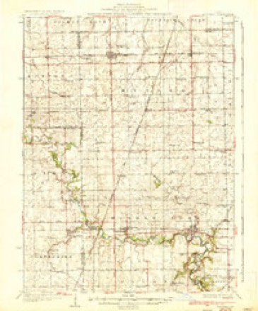
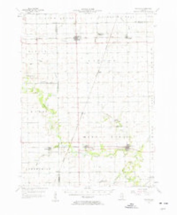
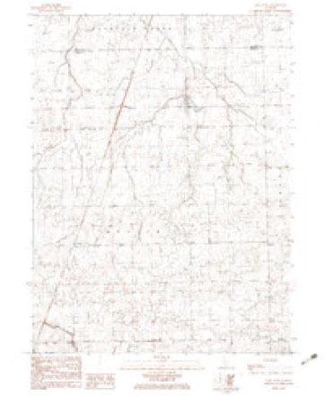
13 topographic sheets cover this place, the earliest surveyed in 1936 and the latest in 1987. It stands in Butler Township. It lies in ZIP code area 60932. The Survey maps it on the East Lynn quadrangle. 90 people lived here at the 2020 count. It stands 696 feet above sea level.
Topographic sheets covering this place
8 surveys from 13 printed sheetsMatched by testing this settlement's coordinate against the published boundary of every sheet in the United States Geological Survey's historical collection. Each opens the scanned sheet at the Survey.
- 1936 USGS Potomac quadrangle1:62500, 3 printings
- 1953 USGS Danville quadrangle1:250000, 3 printings
- 1955 USGS Danville quadrangle1:250000
- 1956 USGS Danville quadrangle1:250000
- 1957 USGS Potomac quadrangle1:62500, 2 printings
- 1982 USGS East Lynn quadrangle1:24000
- 1984 USGS Danville quadrangle1:100000
- 1987 USGS Danville quadrangle1:100000





In the county-history sources
11,551 words on this townshipHistory of Vermilion County, Together with Historic Notes on the Northwest, Gleaned from Early Authors, Old Maps and Manuscripts, Private and Official Correspondence, and Other Authentic, Though, for the Most Part, Out-of-the-way Sources, published 1879 names this settlement in its chapter on Butler Township. These are the passages that mention it, exactly as the scans read.
J. W. Shannon came in 1855, and took up land in section 35 (23- 14). He lived there twenty years, and now resides in Perrysville, Indiana. Mr. Clark about the same time settled on the south side of section 14. In 1857 C. McCune came from Ohio, and took up land in section 7, one mile east of where Rankin now is, where he resided till five years ago, when he made Rankin his home. Wm, I. Allen, who had been a pioneer in Grant township, purchased land in 1855, north of East Lynne, and had two men there improving the farm. Ruffin Clark came from Indiana in 1856, and settled on section 28. He was a man of intelligence, and made his mark on the community. He took a lively interest in schools. He died in 1869, and his family went back to Indiana after a few years. Geo. Mains came to live on section 21 in 1856. He still resides there. Daniel S. French came to the same section in 1857. He now lives in Indiana, and is editing a paper in Tippecanoe county. He still owns the farm. Jacob Swisher came to section 12 (22-13) in 1855. He was a public-spirited man, and well known throughout this part of the county. Jesse Piles, who also came here early, settled in section 10 (22-14), in the extreme southwestern part of the township. Jonathan Done in 1856 settled in section 15 (23-14). He afterward removed to Paxton. John Pursley, in 1857, purchased half a section in 11, near Rankin, and continued farming there until he enlisted in the army, in Allen's company. He had been in the engagement which resulted in the surrender of Fort Henry, and while at Donaldson was sent back to Fort Henry for ammunition. The fatigue of the trip was too much for him, and he gave out and died. He left two sons, who are worthy and respected young men.
Passage source: History of Vermilion County, Together with Historic Notes on the Northwest, Gleaned from Early Authors, Old Maps and Manuscripts, Private and Official Correspondence, and Other Authentic, Though, for the Most Part, Out-of-the-way Sources, published 1879.
Machine-read from a century-old scan, so expect the errors a machine makes: misspelled names, dropped words, stray characters.
Read the whole chapter on Butler Township - it names this place 1 more 1 time.
Storms near this place
9 since 2009Regional context, not property-specific evidence. The National Weather Service names East Lynn in 9 storm reports between 2009 and 2023: 4 flash flood, 2 tornado, 2 hail, 1 thunderstorm wind. No death or injury is recorded in these reports. Each account below is quoted exactly as the forecast office filed it, from the NOAA Storm Events Database, and each date opens the federal record of that event.
| When | Event | Place named | Harm | What the report says |
|---|---|---|---|---|
| May 2017 | Hail | East Lynn | $325,000 | Hail lasted for 4 minutes and broke windshields. |
| May 2012 | Tornado (EF0) | East Lynn | $65,000 | A tornado touched down about 3.2 miles west-southwest of Hoopeston at 5:18 PM CDT. The tornado tracked eastward, destroying a grain silo, throwing a grain auger into a 20 X 40 shed, and ripping shingles off two houses before lifting 1.1 miles southwest of Hoopeston at 5:23 PM CDT. |
| March 2023 | Thunderstorm Wind | East Lynn | - | A few power lines were blown down and mangled sheet metal debris was strewn across a field. |
| June 2013 | Flash Flood | East Lynn | - | Scattered thunderstorms, with heavy rainfall amounts of 2 to 3 inches in one hour produced flash flooding in northeast Vermilion County during the early afternoon. Many rural roads from Hoopeston to the Indiana border were impassable. The flooding subsided by mid-afternoon. |
| May 2012 | Flash Flood | East Lynn | - | Nearly 3.00 of rain fell in northeast Vermilion County within 90 minutes during the early evening. Streets and rural roads from Hoopeston to 3 miles west of Hoopeston, and along Illinois Route 9 to the Indiana border were impacted by more than a foot of water. |
| June 2010 | Tornado (EF0) | East Lynn | - | A tornado briefly touched down in a field. No damage was reported. |
| June 2010 | Flash Flood | East Lynn | - | Very heavy rain produced flash flooding in a small part of northeast Vermilion County. Around 2.00 of rain was reported in one hour, which resulted in the flooding of many roads from Hoopeston to the Indiana border. |
| June 2009 | Flash Flood | East Lynn | - | Heavy rainfall totaling up to 6.00 inches in spots was reported in northeast Vermilion County. Rainfall rates of 1 to 2 inches per hour were common, which caused the inundation of numerous rural roads as well as streets in the village of Hoopeston. |
| May 2017 | Hail | East Lynn | - | no account filed |
Nearest settlements
The eight closest, with where each one stands in the county. Distances are straight-line, computed from the Geographic Names Information System coordinates.
Elsewhere
Matched on this settlement's Geographic Names Information System number rather than its name, so it cannot be a different place of the same name in another state.
| Wikipedia article on East Lynn | An encyclopaedic summary. Its text is share-alike, so it is linked here rather than copied. |
| Wikidata item Q5328897 | The structured record the population and elevation above come from. Public domain (CC0). |
Provenance
This settlement is recorded in the Geographic Names Information System as feature 407672. The sheet list is computed by point-in-boundary test against the United States Geological Survey's historical topographic inventory. Both are works of the United States government and carry no copyright under 17 U.S.C. 105.
Storms. NOAA National Centers for Environmental Information, Storm Events Database https://www.ncei.noaa.gov/stormevents/ A work of the United States government, no copyright under 17 U.S.C. 105. Narratives are quoted verbatim from the National Weather Service report and are not edited or summarised.