 Block
Hutton, Illinois
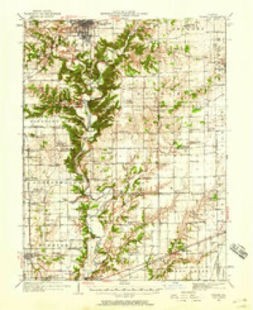
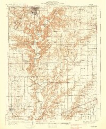
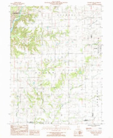
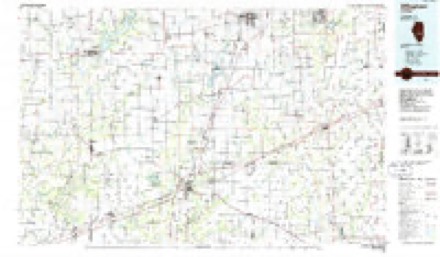
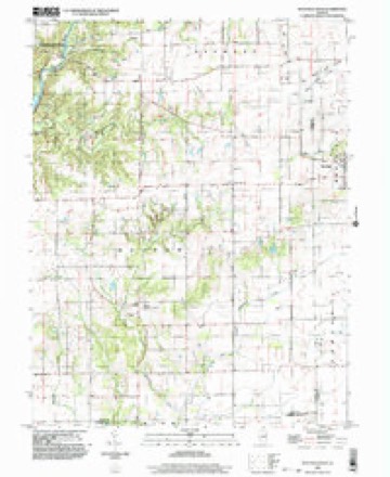
12 topographic sheets cover this place, the earliest surveyed in 1933 and the latest in 1998. It stands in Hutton Township. It lies in ZIP code area 61920. The Survey maps it on the Westfield West quadrangle. It stands 702 feet above sea level.
Topographic sheets covering this place
7 surveys from 12 printed sheetsMatched by testing this settlement's coordinate against the published boundary of every sheet in the United States Geological Survey's historical collection. Each opens the scanned sheet at the Survey.
- 1933 USGS Toledo quadrangle1:62500, 2 printings
- 1938 USGS Toledo quadrangle1:62500
- 1958 USGS Decatur quadrangle1:250000, 3 printings
- 1961 USGS Decatur quadrangle1:250000, 2 printings
- 1984 USGS Westfield West quadrangle1:24000
- 1986 USGS Effingham quadrangle1:100000, 2 printings
- 1998 USGS Westfield West quadrangle1:24000


In the county-history sources
18,748 words on this townshipThe History of Coles County, Illinois ... Map of Coles County; History of Illinois ... History of Northwest ... Constitution of the United States, Miscellaneous Matters, &c., &c, published 1879 names this settlement in its chapter on Hutton Township. These are the passages that mention it, exactly as the scans read.
The township of Hutton forms an important part of the history of Coles County, inasmuch as the first settlement within its present limits by civilized white men was made in this township more than half a century ago. How
Passage source: The History of Coles County, Illinois ... Map of Coles County; History of Illinois ... History of Northwest ... Constitution of the United States, Miscellaneous Matters, &c., &c, published 1879.
Hutton Township lies in the southeast part of Coles County, and is bounded on the south and east by Cumberland and Clark Counties, on the north by Ashmore Township, and on the west by the Embarrass River. It is well drained by the latter stream, and the small water-courses that meander through it. At the time of the early settlement of Hutton, it contained much fine timber-land, though about half of the town, perhaps, is prairie. It is considerably above the size of a Congressional township, embracing within its limits some fifty-four sections of land. No railroads intersect it, but the Indianapolis & St. Louis Railroad passes in a few miles of its north line, and the Vandalia line a little south of it, so that its railroad facilities are not at all restricted.
Passage source: The History of Coles County, Illinois ... Map of Coles County; History of Illinois ... History of Northwest ... Constitution of the United States, Miscellaneous Matters, &c., &c, published 1879.
As we stated above, the first settlement in the county was made in Hutton Township. In 1824, John Parker and his sons, Benjamin, Daniel, Silas and James Parker, and Samuel Kellogg and his wife, made a settlement here, and composed this first colony of pioneers in Hutton Township. But one of the little band of pilgrims is now alive - the widow of Samuel Kellogg, who lives at present in the city of Charleston. They settled on the Embarrass River, just opposite where the Blakeman Mills now stand. Some of the Parkers afterward settled in Charleston Township, where they are noticed among the early settlers of that section. Most of them moved to Texas years ago, as elsewhere mentioned, and where two or three members of the family suffered severely by the Indians, two of them, at least, losing their lives.* A daughter of James Parker was taken prisoner by the savages, and held for some time in captivity, subjected to all kinds of cruelty. She was married to a man named Plummer, who was killed at the fort where the Parkers were living at the time she was captured. During her captivity among the Indians, she gave birth to a child, which the savages killed before her eyes. Her father had a long search for her,
Passage source: The History of Coles County, Illinois ... Map of Coles County; History of Illinois ... History of Northwest ... Constitution of the United States, Miscellaneous Matters, &c., &c, published 1879.
Machine-read from a century-old scan, so expect the errors a machine makes: misspelled names, dropped words, stray characters.
Read the whole chapter on Hutton Township - it names this place 71 more 71 times.
Mines and quarries near this place
1 within 5 milesRegional context, not property-specific evidence. The federal mineral resources record lists 1 working within 5 miles of Hutton: 1 producer. All of them still produce. What was taken out: Sand and Gravel, Construction. Distance is straight-line from the map coordinates, so a quarry counted here may appear on a neighbouring settlement's page as well.
| Where | Site | Commodity | Status | Recorded |
|---|---|---|---|---|
| Pinnell Gravel Pit | Sand and Gravel, Construction | Producer |
Storms near this place
3 since 2011Regional context, not property-specific evidence. The National Weather Service names Hutton in 3 storm reports between 2011 and 2025: 2 thunderstorm wind, 1 flash flood. No death or injury is recorded in these reports. Each account below is quoted exactly as the forecast office filed it, from the NOAA Storm Events Database, and each date opens the federal record of that event.
| When | Event | Place named | Harm | What the report says |
|---|---|---|---|---|
| May 2018 | Thunderstorm Wind | Hutton | $24,000 | Powerlines were blown down. |
| April 2025 | Thunderstorm Wind | Hutton | - | An outbuilding was destroyed and a semi was blown over. |
| July 2011 | Flash Flood | Hutton | - | Heavy rainfall amounts of 2.50 to 4.00 inches during the evening hours of July 29th produced flash flooding in extreme southeast Coles County. Many rural roads southeast of Charleston were impassable due to the accumulated water. |
Nearest settlements
The eight closest, with where each one stands in the county. Distances are straight-line, computed from the Geographic Names Information System coordinates.
| Map | Place | Distance | Sheets |
|---|---|---|---|
| Diona | 3.8 miles | 12 | |
| Campbell | 6.8 miles | 12 | |
| Embarrass | 7.2 miles | 16 | |
| Charleston | 7.5 miles | 12 | |
| Ashmore | 8.9 miles | 16 | |
| Lerna | 10.8 miles | 14 | |
| Loxa | 11.3 miles | 14 | |
| Fairgrange | 12.4 miles | 16 |
Elsewhere
Matched on this settlement's Geographic Names Information System number rather than its name, so it cannot be a different place of the same name in another state.
| Wikipedia article on Hutton | An encyclopaedic summary. Its text is share-alike, so it is linked here rather than copied. |
| Wikidata item Q5951000 | The structured record the population and elevation above come from. Public domain (CC0). |
Provenance
This settlement is recorded in the Geographic Names Information System as feature 422834. The sheet list is computed by point-in-boundary test against the United States Geological Survey's historical topographic inventory. Both are works of the United States government and carry no copyright under 17 U.S.C. 105.
Mines and quarries. USGS Mineral Resources Data System (MRDS) https://mrdata.usgs.gov/mrds/ A work of the United States government, no copyright under 17 U.S.C. 105.
Storms. NOAA National Centers for Environmental Information, Storm Events Database https://www.ncei.noaa.gov/stormevents/ A work of the United States government, no copyright under 17 U.S.C. 105. Narratives are quoted verbatim from the National Weather Service report and are not edited or summarised.