 Block
Palmyra, Illinois
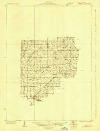
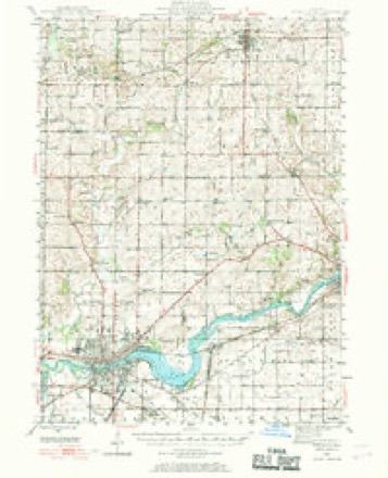
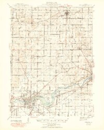
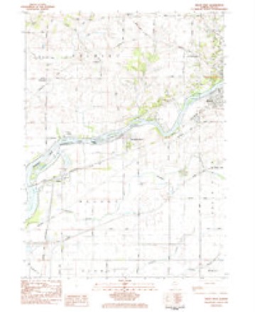
11 topographic sheets cover this place, the earliest surveyed in 1930 and the latest in 1985. It stands in Palmyra Township. It lies in ZIP code area 61021. It stands on Reid Creek. The Survey maps it on the Dixon West quadrangle. It stands 810 feet above sea level.
Topographic sheets covering this place
7 surveys from 11 printed sheetsMatched by testing this settlement's coordinate against the published boundary of every sheet in the United States Geological Survey's historical collection. Each opens the scanned sheet at the Survey.
- 1930 USGS Woodsung quadrangle1:48000
- 1946 USGS Sterling quadrangle1:62500
- 1948 USGS Sterling quadrangle1:62500, 2 printings
- 1958 USGS Aurora quadrangle1:250000, 3 printings
- 1961 USGS Aurora quadrangle1:250000
- 1983 USGS Dixon West quadrangle1:24000
- 1985 USGS Dixon quadrangle1:100000, 2 printings



In the county-history sources
21,708 words on this townshipHistory of Lee County, published 1881 names this settlement in its chapter on Palmyra Township. These are the passages that mention it, exactly as the scans read.
This township is situated in the extreme northwest of Lee county, being bounded on the west by Whitesides county, on the north by Ogle county, on the east by Dixon township, and on the south by Rock river. It embraces tbe southern | of T. 22 N., and the N. W, |- of T. ,21 ]Sr., R. 8 E. of the 4th P. M. Beginning at the northwest corner of the county the boundary line runs east on the county line between Ogle and Lee counties, to the line between ranges 8 and 9 east ; and thence south on said line to its junction with Rock river ; thence down said river, southwest to the county line between Whitesides and Lee counties; thence north on said line to the place of beginning; making the township six miles wide from west to east, while the irregularity of the southern boundary on the river, from the northeast to the soutliM^est, contracts the eastern boundary to four and a half miles, and extends the western line to near nine miles in length ; embracing an area of about 4,640 acres.
Passage source: History of Lee County, published 1881.
A topographical description of this township is introduced by one of her citizens, who dashes off like a laughing school-boy on a cold December morning, as follows: "Connect not the name with visions of shady groves of waving palms, with bubbling fountains and breezes laden with the scent of the myrtle and orange, the lime and the almond \ none such are to be found in the place whose history 1 am recording^ and such visions would soon fade before the furious blasts of our northern winters, with the air filled with snowflakes, and the leafless trees swaying under fierce assaults of Boreas. No warlike Zenobia leads us on to victory, but in her stead we follow the milder divinities, Ceres^ Pomona, and Flora. Think not, however, because we can boast of none of these things in which lie the beauty of ancient Palmyra, the modern has no charms of her own. These are to be found in her broad, fertile plains, once covered with a profusion of juicy grasses and flowers of every brilliant hue, in her stately groves of maple and walnut, of ash and oak, in the impetuous rush of the crystal Rock river, rolling her tide to join the Father of Waters, her surface broken with the sportive gambols of bass and perch, the leaping sturgeon and rushing pike - and even in the silver thread of Sugar creek, which once could boast of turning a saw-mill."
Passage source: History of Lee County, published 1881.
The physical geography of the township is not of special interest, apart from its attractions to the agriculturist who seeks a home on fertile soil and in a salubrious atmosphere. The face of the country is gently rolling, and in places presents to the eye the appearance of the swelling and receding of the great waves of the ocean. Along the Pock river it becomes bluffy, and in places rugged ; but not so grand and precipitous as on the Ohio river, or the streams of the northwest.
Passage source: History of Lee County, published 1881.
Machine-read from a century-old scan, so expect the errors a machine makes: misspelled names, dropped words, stray characters.
Read the whole chapter on Palmyra Township - it names this place 70 more 70 times.
Mines and quarries near this place
10 of 20 shownRegional context, not property-specific evidence. The federal mineral resources record lists 20 workings within 5 miles of Palmyra: 15 past producers, 3 producers, 2 occurrences. 3 still produce. What was taken out: Stone, Crushed/Broken, Sand and Gravel, Construction. Distance is straight-line from the map coordinates, so a quarry counted here may appear on a neighbouring settlement's page as well.
| Where | Site | Commodity | Status | Recorded |
|---|---|---|---|---|
| Nelson Sand and Gravel Pit | Sand and Gravel, Construction | Past Producer | ||
| Rock River Pit | Sand and Gravel, Construction | Past Producer | ||
| Brimblecom Quarry | Stone, Crushed/Broken | Past Producer | ||
| Dixon Quarry | Stone, Crushed/Broken | Past Producer | ||
| Gerdes Quarry | Stone, Crushed/Broken | Producer | ||
| Law Quarry | Stone, Crushed/Broken | Past Producer | ||
| Limestone Prospect | Stone, Crushed/Broken | Occurrence | ||
| Limestone Prospect | Stone, Crushed/Broken | Occurrence | ||
| Nelson Quarry - Portable Unit #1 | Stone, Crushed/Broken | Producer | ||
| Palmyra Quarry | Stone, Crushed/Broken | Producer |
Storms near this place
2 since 2010Regional context, not property-specific evidence. The National Weather Service names Palmyra in 2 storm reports between 2010 and 2021: 1 flash flood, 1 thunderstorm wind. No death or injury is recorded in these reports. Each account below is quoted exactly as the forecast office filed it, from the NOAA Storm Events Database, and each date opens the federal record of that event.
| When | Event | Place named | Harm | What the report says |
|---|---|---|---|---|
| August 2021 | Thunderstorm Wind | Palmyra | - | Several large trees were damaged, about 100 yards east of the intersection of Penrose and Weldon Roads. |
| June 2010 | Flash Flood | Palmyra | - | Several Roads were flooded in Dixon including Route 2 and River Road. |
Nearest settlements
The eight closest, with where each one stands in the county. Distances are straight-line, computed from the Geographic Names Information System coordinates.
| Map | Place | Distance | Sheets |
|---|---|---|---|
| Prairieville | 1.9 miles | 11 | |
| Woodland Shores | 2.7 miles | 11 | |
| Lincoln Heights | 3.1 miles | 11 | |
| Nelson | 4.0 miles | 11 | |
| Dixon | 5.3 miles | 12 | |
| Harmon | 9.0 miles | 12 | |
| Nachusa | 10.1 miles | 12 | |
| Kingdom | 10.2 miles | 12 |
Elsewhere
Matched on this settlement's Geographic Names Information System number rather than its name, so it cannot be a different place of the same name in another state.
| Wikipedia article on Palmyra | An encyclopaedic summary. Its text is share-alike, so it is linked here rather than copied. |
| Wikidata item Q18386283 | The structured record the population and elevation above come from. Public domain (CC0). |
Provenance
This settlement is recorded in the Geographic Names Information System as feature 415322. The sheet list is computed by point-in-boundary test against the United States Geological Survey's historical topographic inventory. Both are works of the United States government and carry no copyright under 17 U.S.C. 105.
Mines and quarries. USGS Mineral Resources Data System (MRDS) https://mrdata.usgs.gov/mrds/ A work of the United States government, no copyright under 17 U.S.C. 105.
Storms. NOAA National Centers for Environmental Information, Storm Events Database https://www.ncei.noaa.gov/stormevents/ A work of the United States government, no copyright under 17 U.S.C. 105. Narratives are quoted verbatim from the National Weather Service report and are not edited or summarised.