 Block
Lawrence, Illinois
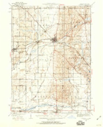
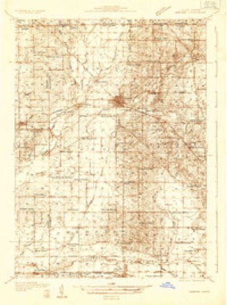
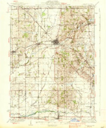
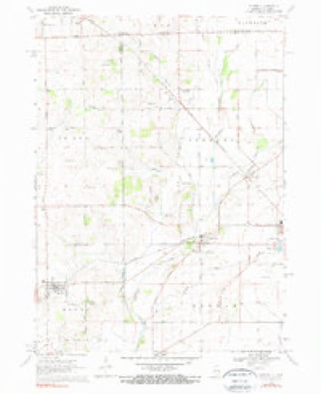
16 topographic sheets cover this place, the earliest surveyed in 1932 and the latest in 1981. It stands in Chemung Township. It lies in ZIP code area 60033. The Survey maps it on the Capron quadrangle. 220 people lived here at the 2020 count. It stands 906 feet above sea level.
Topographic sheets covering this place
9 surveys from 16 printed sheetsMatched by testing this settlement's coordinate against the published boundary of every sheet in the United States Geological Survey's historical collection. Each opens the scanned sheet at the Survey.
- 1932 USGS Harvard quadrangle1:62500, 2 printings
- 1932 USGS Harvard quadrangle1:48000
- 1937 USGS Harvard quadrangle1:62500, 2 printings
- 1954 USGS Rockford quadrangle1:250000
- 1955 USGS Rockford quadrangle1:250000
- 1958 USGS Rockford quadrangle1:250000, 4 printings
- 1963 USGS Rockford quadrangle1:250000
- 1970 USGS Capron quadrangle1:24000, 3 printings
- 1981 USGS Elgin quadrangle1:100000





In the county-history sources
37,091 words on this townshipHistory of McHenry County, Illinois : Together with Sketches of Its Cities, Villages and Towns : Educational, Religious, Civil, Military, and Political History : Portraits of Prominent Persons, and Biographies of Representative Citizens, Also a Condensed History of Illinois .., published 1885 names this settlement in its chapter on Chemung Township. These are the passages that mention it, exactly as the scans read.
At the village of Chemung is to be found one of the oldest burying grounds in the county, but it is seldom that a burial takes place there now; the grounds have become forsaken, both in fact and appearance; the new grounds in the same village, but situated in Dunham Township, are being used instead of the old. A small burying ground was laid at Lawrence about the time the town was laid out.
Passage source: History of McHenry County, Illinois : Together with Sketches of Its Cities, Villages and Towns : Educational, Religious, Civil, Military, and Political History : Portraits of Prominent Persons, and Biographies of Representative Citizens, Also a Condensed History of Illinois .., published 1885.
The township officers chosen at the first election, held April 2, 1850, were as follows: J. C. Thompson, Supervisor; Edwin Hurlburt, Clerk; Lawrence Bigs by, Assessor; fm. G. Billings , Collector; A. Southerland and Asa Pease, Justices of Peace; fm. G. Billings and Chas. C. Merrick, Constables; Barrows Wilkinson, Orrin Burr and ¥m. Newman, Commissioners of Highways; Seth Johnson, Overseer of the Poor.
Passage source: History of McHenry County, Illinois : Together with Sketches of Its Cities, Villages and Towns : Educational, Religious, Civil, Military, and Political History : Portraits of Prominent Persons, and Biographies of Representative Citizens, Also a Condensed History of Illinois .., published 1885.
In another portion of this work will be found a full account of this destroyer of human life and property, hence we will here speak of only a few points along its track and note some of its queer freaks. A fourteen-year-old son of John Massas, while attempting to reach the house, was thrown against a reaping machine and badly mangled. A hay barn belonging to C. Ruggles was taken away entire, not leaving scarcely anything behind to show that a barn had once been there. At Lawrence a barn was blown down in which stood a cow. She was afterward dujj out of the rubbish and found to be unharmed. The depot at Lawrence lost its roof and east side. Dr. Clark's store received considerable damage. On the farm of Patrick Kennedy stood a fine orchard which was swept away root and branch. The out-buildings were blown against the house with such force that it went down in the twinkling of an eye. John McGuirk, who sought refuge in the cellar, was instantly killed. Here the monster bounded into the air as if frightened at its last desperate act, and did not return to the earth again till it had traveled a distance of about three miles, where it again resumed its work of destruction and death. The premises of Fred Battlings were entirely destroyed and his hired hand, Charles Stull, was instantly killed. It continued in its work of destruction till it passed out of the State into Wisconsin, where its ravages were only equaled by those in this county. In its course it utterly destroyed the school-house in District No. 3, Alden
Passage source: History of McHenry County, Illinois : Together with Sketches of Its Cities, Villages and Towns : Educational, Religious, Civil, Military, and Political History : Portraits of Prominent Persons, and Biographies of Representative Citizens, Also a Condensed History of Illinois .., published 1885.
Machine-read from a century-old scan, so expect the errors a machine makes: misspelled names, dropped words, stray characters.
Read the whole chapter on Chemung Township - it names this place 19 more 19 times.
Fires near this place
5 since 2015Regional context, not property-specific evidence. The federal wildfire occurrence database lists 5 fires within 5 miles of Lawrence in 2015, burning about 20 acres in total. None started naturally. None was recorded as arson. Distance is straight-line from the map coordinates, so a fire counted here may appear on a neighbouring settlement's page as well.
| Reported cause | Fires |
|---|---|
| Debris and open burning | 5 |
The most recent of them, most recent first, with the day each was reported and the service that recorded it.
| Date | Cause | Size | Reported by | Name on the report |
|---|---|---|---|---|
| 4 April 2015 | Debris and open burning | 4.0 acres | Illinois Division of Forestry Resources | 15-282 |
| 28 April 2015 | Debris and open burning | 10 acres | Illinois Division of Forestry Resources | 15-382 |
| 26 April 2015 | Debris and open burning | 1.0 acres | Illinois Division of Forestry Resources | 15-245 |
| 14 April 2015 | Debris and open burning | 1.0 acres | Illinois Division of Forestry Resources | 15-334 |
| 31 March 2015 | Debris and open burning | 4.0 acres | Illinois Division of Forestry Resources | 15-265 |
Settlements close enough to share some of these fires:
Mines and quarries near this place
2 within 5 milesRegional context, not property-specific evidence. The federal mineral resources record lists 2 workings within 5 miles of Lawrence: 1 past producer, 1 producer. 1 still produces. What was taken out: Sand and Gravel, Construction. Distance is straight-line from the map coordinates, so a quarry counted here may appear on a neighbouring settlement's page as well.
| Where | Site | Commodity | Status | Recorded |
|---|---|---|---|---|
| Harvard Pit & Mill | Sand and Gravel, Construction | Producer | ||
| Mchenry Pit | Sand and Gravel, Construction | Past Producer |
Storms near this place
3 since 2008Regional context, not property-specific evidence. The National Weather Service names Lawrence in 3 storm reports between 2008 and 2021: 2 thunderstorm wind, 1 tornado. No death or injury is recorded in these reports. Each account below is quoted exactly as the forecast office filed it, from the NOAA Storm Events Database, and each date opens the federal record of that event.
| When | Event | Place named | Harm | What the report says |
|---|---|---|---|---|
| June 2008 | Thunderstorm Wind | Lawrence | $25,000 | A barn was blown down with debris scattered across Lawrence Road. A 2-by-4 was stuck in the ground like a spear. |
| August 2021 | Thunderstorm Wind | Lawrence | - | A private weather station measured a wind gust to 60 mph near Lawrence Road and Maxon Road. |
| July 2015 | Tornado (EF0) | Lawrence | - | An emergency manager spotted a brief tornado that caused minor tree damage near Route 14 and Oak Grove Road. Maximum winds were estimated to 70 mph. |
Nearest settlements
The eight closest, with where each one stands in the county. Distances are straight-line, computed from the Geographic Names Information System coordinates.
| Map | Place | Distance | Sheets |
|---|---|---|---|
| Harvard | 2.0 miles | 15 | |
| Chemung | 2.2 miles | 16 | |
| Big Foot Prairie | 4.3 miles | 15 | |
| Alden | 6.7 miles | 15 | |
| Hartland | 8.9 miles | 15 | |
| Hebron | 11.3 miles | 17 | |
| Armsby (historical) | 12.4 miles | 17 | |
| Franklinville | 13.3 miles | 15 |
Elsewhere
Matched on this settlement's Geographic Names Information System number rather than its name, so it cannot be a different place of the same name in another state.
| Wikipedia article on Lawrence | An encyclopaedic summary. Its text is share-alike, so it is linked here rather than copied. |
| Wikidata item Q6503747 | The structured record the population and elevation above come from. Public domain (CC0). |
Provenance
This settlement is recorded in the Geographic Names Information System as feature 411867. The sheet list is computed by point-in-boundary test against the United States Geological Survey's historical topographic inventory. Both are works of the United States government and carry no copyright under 17 U.S.C. 105.
Wildfire. Short, Karen C. 2022. Spatial wildfire occurrence data for the United States, 1992-2020 [FPA_FOD_20221014]. 6th Edition. Fort Collins, CO: Forest Service Research Data Archive. https://doi.org/10.2737/RDS-2013-0009.6 Collected with United States Government funding and usable without additional permissions or fees.
Mines and quarries. USGS Mineral Resources Data System (MRDS) https://mrdata.usgs.gov/mrds/ A work of the United States government, no copyright under 17 U.S.C. 105.
Storms. NOAA National Centers for Environmental Information, Storm Events Database https://www.ncei.noaa.gov/stormevents/ A work of the United States government, no copyright under 17 U.S.C. 105. Narratives are quoted verbatim from the National Weather Service report and are not edited or summarised.