 Block
Hartland, Illinois
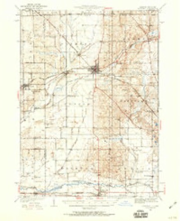
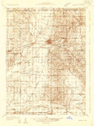
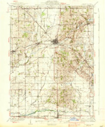
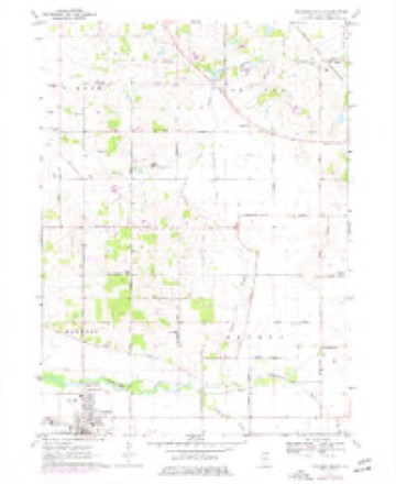
15 topographic sheets cover this place, the earliest surveyed in 1932 and the latest in 1981. It stands in Hartland Township. It lies in ZIP code area 60098. The Survey maps it on the Marengo North quadrangle.
Topographic sheets covering this place
9 surveys from 15 printed sheetsMatched by testing this settlement's coordinate against the published boundary of every sheet in the United States Geological Survey's historical collection. Each opens the scanned sheet at the Survey.
- 1932 USGS Harvard quadrangle1:62500, 2 printings
- 1932 USGS Harvard quadrangle1:48000
- 1937 USGS Harvard quadrangle1:62500, 2 printings
- 1954 USGS Rockford quadrangle1:250000
- 1955 USGS Rockford quadrangle1:250000
- 1958 USGS Rockford quadrangle1:250000, 4 printings
- 1963 USGS Rockford quadrangle1:250000
- 1970 USGS Marengo North quadrangle1:24000, 2 printings
- 1981 USGS Elgin quadrangle1:100000





In the county-history sources
1,082 words on this townshipHistory of McHenry County, Illinois, published 1922 names this settlement in its chapter on Hartland Township. These are the passages that mention it, exactly as the scans read.
Ilartland is the second township from the northern line of the county as well as the second from the west. It is bounded on the north by Alden Township ; on the east by Greenwood Township ; on the south by Seneca Township and on the west by Dunham Township, and comprises all of congressional township 45, range 6, east. When it was first settled by white men, its surface was nearly all covered with good timber, but by the time of the Civil War all of the heaviest first growth had been cut off. Grain and stock raising are callings largely followed by the landowners in this township. The name Hartland was given the township in 1840, in honor of a town in New York by that name. The name "Antrim" was proposed by the many Irish settlers, but was not adopted by those in authority.
Passage source: History of McHenry County, Illinois, published 1922.
It matters not, but here is a conflict in history, three factions of pioneers contending, one claims that the first to locate within this township was P. Griffin ; another set up a claim that the honor belongs to George Stafton, and still a third faction is sanguine that to such honor should be attached the name of John Quinlan. It is certain that all three came here at about the same date. Right on their heels was P. W. Tower, and a Mr. Smith, who gained the nick-name of "Whisky" Smith, arrived not long thereafter. P. M. Dunn, William Fanning, Alvin Judd, Andrew J. Haywood, Appolos Hastings, and Alonzo Golder were among the pioneer band in Hartland Township.
Passage source: History of McHenry County, Illinois, published 1922.
During the year 1840. Wesley Diggins built a saw-mill on the banks of Kishwaukee Creek, and for a number of years a flourishing business was carried on at that point. About it grew up a tiny community, known as Brookdale, and for a time it was believed by some that here was the nucleus of a citv. but with the clearing off of the timber, and the end of the immense lumbering business, the trade was drawn away to Harvard and Woodstock, and this generation knows of "Brookdale" only by hearsay. A store was maintained there for several years, as was one also at Oliver's Corners, but it too died a natural death. Other little communities of Hartland Township prospered for a time but soon fell into that "dreamless sleep that knows no waking." The little hamlet of Hartland is the only village now within the township.
Passage source: History of McHenry County, Illinois, published 1922.
Machine-read from a century-old scan, so expect the errors a machine makes: misspelled names, dropped words, stray characters.
Read the whole chapter on Hartland Township - it names this place 5 more 5 times.
Fires near this place
4 since 2014Regional context, not property-specific evidence. The federal wildfire occurrence database lists 4 fires within 5 miles of Hartland between 2014 and 2015, burning about 25 acres in total. None started naturally. None was recorded as arson. Distance is straight-line from the map coordinates, so a fire counted here may appear on a neighbouring settlement's page as well.
| Reported cause | Fires |
|---|---|
| Debris and open burning | 4 |
The most recent of them, most recent first, with the day each was reported and the service that recorded it.
| Date | Cause | Size | Reported by | Name on the report |
|---|---|---|---|---|
| 5 April 2015 | Debris and open burning | 2.0 acres | Illinois Division of Forestry Resources | 15-289 |
| 28 April 2015 | Debris and open burning | 10 acres | Illinois Division of Forestry Resources | 15-382 |
| 26 April 2015 | Debris and open burning | 1.0 acres | Illinois Division of Forestry Resources | 15-245 |
| 26 April 2014 | Debris and open burning | 12 acres | Savanna District, Upper Mississippi National Wildlife Refuge | HACKMATACK PETERSON TRACT |
Settlements close enough to share some of these fires:
Mines and quarries near this place
5 within 5 milesRegional context, not property-specific evidence. The federal mineral resources record lists 5 workings within 5 miles of Hartland: 2 past producers, 2 producers, 1 plant. 3 still produce. What was taken out: Sand and Gravel, Construction. Distance is straight-line from the map coordinates, so a quarry counted here may appear on a neighbouring settlement's page as well.
| Where | Site | Commodity | Status | Recorded |
|---|---|---|---|---|
| Anderson Pit | Sand and Gravel, Construction | Producer | ||
| Gavers Pit & Mill | Sand and Gravel, Construction | Plant | ||
| Jacobs Pit | Sand and Gravel, Construction | Past Producer | ||
| Rose Farm Pit | Sand and Gravel, Construction | Producer | ||
| Steward Wells Pit | Sand and Gravel, Construction | Past Producer |
Storms near this place
9 since 2011Regional context, not property-specific evidence. The National Weather Service names Hartland in 9 storm reports between 2011 and 2026: 4 hail, 3 thunderstorm wind, 1 flood, 1 tornado. No death or injury is recorded in these reports. Each account below is quoted exactly as the forecast office filed it, from the NOAA Storm Events Database, and each date opens the federal record of that event.
| When | Event | Place named | Harm | What the report says |
|---|---|---|---|---|
| April 2026 | Thunderstorm Wind | Hartland | - | A report of siding damage, the partial loss of a tree, and other various objects blown around came out of Woodstock. |
| August 2024 | Hail | Hartland | - | Emergency management reported one inch hail near US Rt. 14 and Rose Farm Rd. |
| July 2016 | Thunderstorm Wind | Hartland | - | Trees down near intersection of Nelson Rd and Rose Farm Rd. |
| April 2015 | Tornado (EF1) | Hartland | - | A brief tornado snapped and uprooted 6 to 7 trees at a property on McGuire Road southeast of Harvard. Minor tree damage occurred on the north side of the road before ending. Maximum winds were estimated to 90 mph. (Tornado 7 of 7). |
| May 2012 | Hail | Hartland | - | Quarter size hail was reported on Alden Road. |
| July 2012 | Thunderstorm Wind | Hartland | - | Wind gusts to 67 mph were measured near the intersection of McGuire and Alden Roads. |
| March 2012 | Flood | Hartland | - | Heavy rain caused minor flooding in and around Woodstock. Four to five inches of standing water was reported on roadways. The parking lot at the Woodstock Library was about half covered with water. Standing water was reported in fields in Bull Valley. Storm total rainfall of 1.78 inches was reported in Woodstock. |
| May 2011 | Hail | Hartland | - | Quarter size hail was reported near Nelson and Hartland Roads. |
| April 2017 | Hail | Hartland | - | no account filed |
Nearest settlements
The eight closest, with where each one stands in the county. Distances are straight-line, computed from the Geographic Names Information System coordinates.
| Map | Place | Distance | Sheets |
|---|---|---|---|
| Woodstock | 4.6 miles | 18 | |
| Franklinville | 6.0 miles | 15 | |
| Greenwood | 6.6 miles | 17 | |
| Alden | 6.6 miles | 15 | |
| Harvard | 6.9 miles | 15 | |
| Sunrise Ridge | 7.5 miles | 17 | |
| Hebron | 8.4 miles | 17 | |
| Barnard Mill (historical) | 8.6 miles | 17 |
Provenance
This settlement is recorded in the Geographic Names Information System as feature 409881. The sheet list is computed by point-in-boundary test against the United States Geological Survey's historical topographic inventory. Both are works of the United States government and carry no copyright under 17 U.S.C. 105.
Wildfire. Short, Karen C. 2022. Spatial wildfire occurrence data for the United States, 1992-2020 [FPA_FOD_20221014]. 6th Edition. Fort Collins, CO: Forest Service Research Data Archive. https://doi.org/10.2737/RDS-2013-0009.6 Collected with United States Government funding and usable without additional permissions or fees.
Mines and quarries. USGS Mineral Resources Data System (MRDS) https://mrdata.usgs.gov/mrds/ A work of the United States government, no copyright under 17 U.S.C. 105.
Storms. NOAA National Centers for Environmental Information, Storm Events Database https://www.ncei.noaa.gov/stormevents/ A work of the United States government, no copyright under 17 U.S.C. 105. Narratives are quoted verbatim from the National Weather Service report and are not edited or summarised.